Every so often, an inscription turns up that feels like a message from a place that never quite made it into history. The text names a city, a sanctuary, or a province as confidently as if it were pointing on a map, yet generations of archaeologists have never managed to pin it down in the real world. These missing places sit in a strange gray zone: too specific to dismiss as fantasy, too elusive to locate in the soil.
Epigraphers today are surprisingly honest about this awkward middle ground. Earlier scholars sometimes spoke about these toponyms as if their locations were just a matter of time, a dig or two away. Now, with more data, better mapping, and decades of fieldwork behind us, many experts openly admit that some places in the inscriptions remain stubbornly unplaced. That tension between the written word and the silent landscape is exactly where the stories below live.
1. The Vanishing City of Arzawa in the Hittite Records
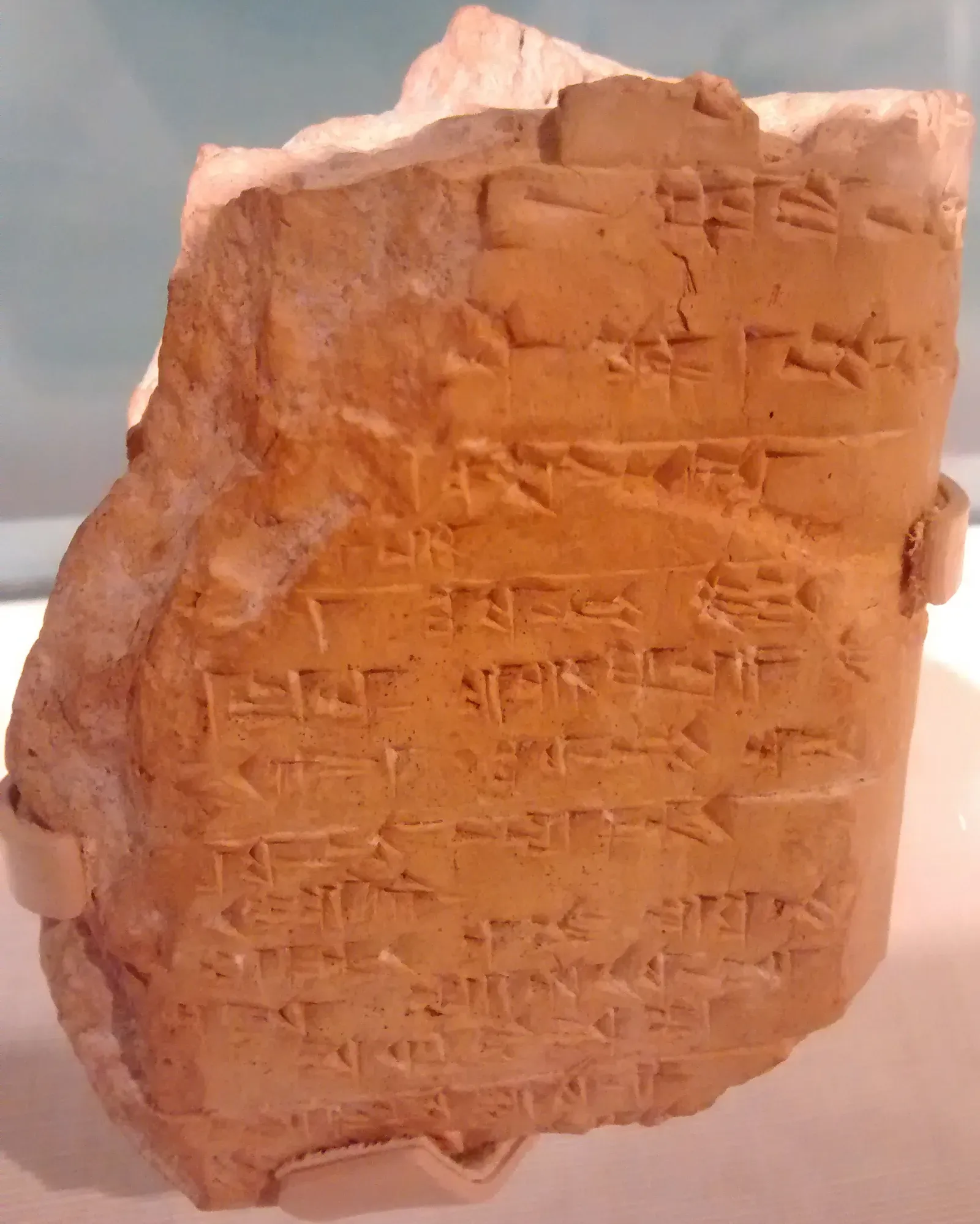
One of the most discussed “floating” places in Bronze Age studies is Arzawa, a western land that appears again and again in Hittite cuneiform tablets. On clay, Arzawa looks like a major political player: it signs treaties, fields armies, and sends envoys to the Hittite court. Yet the more archaeologists explore western Anatolia, the less unanimous they are about where this influential land actually sat on the map.
Several large sites in modern western Turkey have been proposed as Arzawa’s capital region, but every candidate comes with awkward gaps. Pottery sequences do not quite line up, destruction layers appear in the wrong century, or local inscriptions point to different names entirely. So scholars now tend to talk about Arzawa as a loosely defined geopolitical zone rather than a precise dot on a Google map, a reminder that an important “land” in a text does not always translate neatly into a single archaeological footprint.
2. Atlantis of the Inscriptions: The Elusive Tarshish
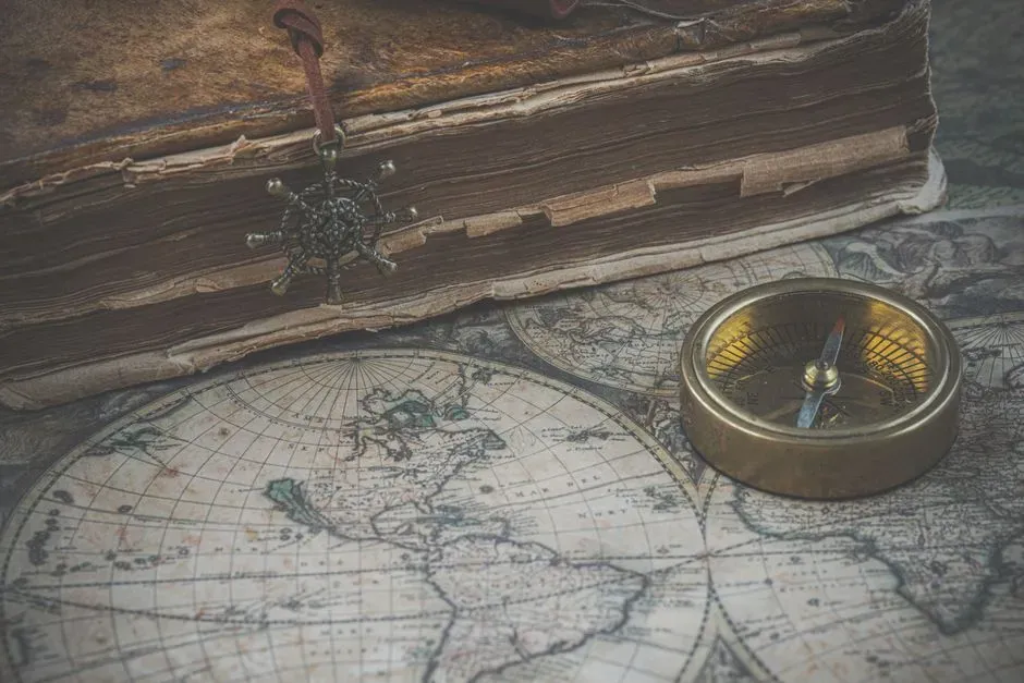
Tarshish is one of those names that refuses to die, even as its proposed locations keep multiplying. In biblical and Near Eastern texts, Tarshish shows up as a distant maritime destination linked with metals, trade, and long-range voyages. At various times people have confidently placed it in Spain, Sardinia, North Africa, Cyprus, or somewhere along the eastern Mediterranean coast, but archaeological proof has stayed frustratingly slippery.
Epigraphers and historians increasingly admit that Tarshish might not be one tidy harbor we can fence off and excavate. Instead, it may be a shifting, almost brand-like term that different communities used for “that rich place far to the west” or for a wider trading sphere rather than a single port town. The name on the inscriptions is tantalizingly specific, but the landscape keeps shrugging its shoulders, leaving Tarshish as a moving target that never quite resolves into one pinnable spot.
3. The Mysterious “Fields of Bulahhu” in Akkadian Administrative Texts
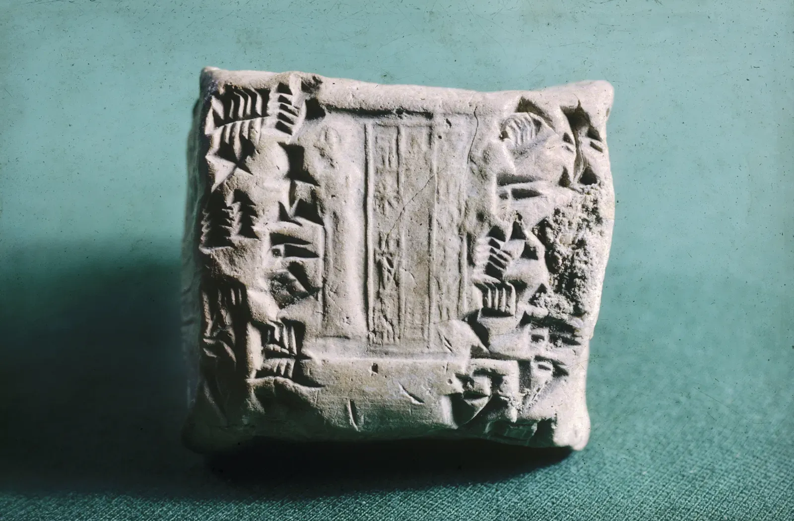
Some unlocated places are not grand cities at all but working landscapes, like the “fields of Bulahhu” mentioned in a cluster of Mesopotamian tablets. These documents treat Bulahhu as a very real setting for tax assessments, deliveries of grain, and movement of laborers. On clay, it is no more exotic than saying “the western district farms,” yet when we look at the ground, there is nothing we can safely label as Bulahhu.
Scholars have tried to triangulate its position from other place names in the same texts, a bit like piecing together a jigsaw puzzle without the box cover. The trouble is that several of the surrounding minor toponyms are also unknown on the landscape, so the whole map floats. Many epigraphers now accept that Bulahhu is likely a low-profile agricultural zone whose remains are scattered across fields that have been plowed, built over, or eroded beyond recognition, illustrating how the most thoroughly documented places on clay can still vanish in the dust.
4. Lost Sanctuaries of Artemis in Asia Minor
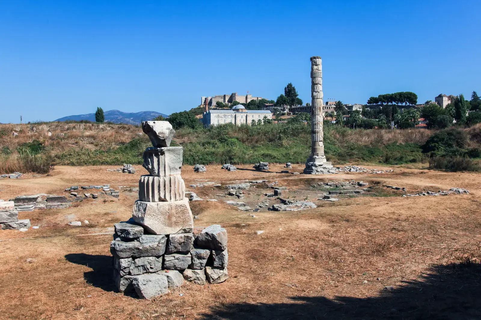
Greek and Latin inscriptions from Asia Minor frequently mention sanctuaries of Artemis with what sound like quite precise designations: the Artemis of such-and-such spring, or Artemis worshiped at a named rural shrine. These dedications feel almost like travel directions, the way a friend might text you “meet me at the little chapel past the third olive grove.” Yet in many cases, even after intensive regional surveys, archaeologists have not managed to identify the physical shrines behind these names.
Sometimes the problem is brutal simplicity: small rural temples often leave only faint scatters of tile, a few robbed-out foundations, or a relocated altar that later farmers reused in a wall. In other instances, modern development has paved over likely candidates before anyone realized a sanctuary was there. Epigraphers now talk more frankly about these cult places as part of a “ghost network” of sacred sites – fully real to the ancient worshipers, extensively referenced in stone, but effectively lost in today’s terrain.
5. The Shadowy Province of Qedarite “Kingdoms” in North Arabian Texts

North Arabian inscriptions and related sources mention Qedarite rulers and their domains across a wide desert canvas. These texts make it sound like there were fairly coherent political units, complete with distinct centers and borders. When you read them, you picture a dotted map of small desert kingdoms, each with its own heartland, markets, and camps. But shovel in hand, archaeologists have struggled to isolate specific, stable “capitals” that line up neatly with the named places in the texts.
Part of the issue is that Qedarite life was at least partly mobile, woven around shifting routes, seasonal pastures, and water sources that moved in and out of use. A political term in the inscription might have described a people and their sphere of influence rather than a city with walls and a central temple ready to be dug up. Modern specialists have grown more comfortable admitting that many of these named Qedarite places belong to a political and social geography that does not map easily onto the settled city-centric world we like to excavate.
6. Biblical Towns That Refuse to Sit Still on the Map
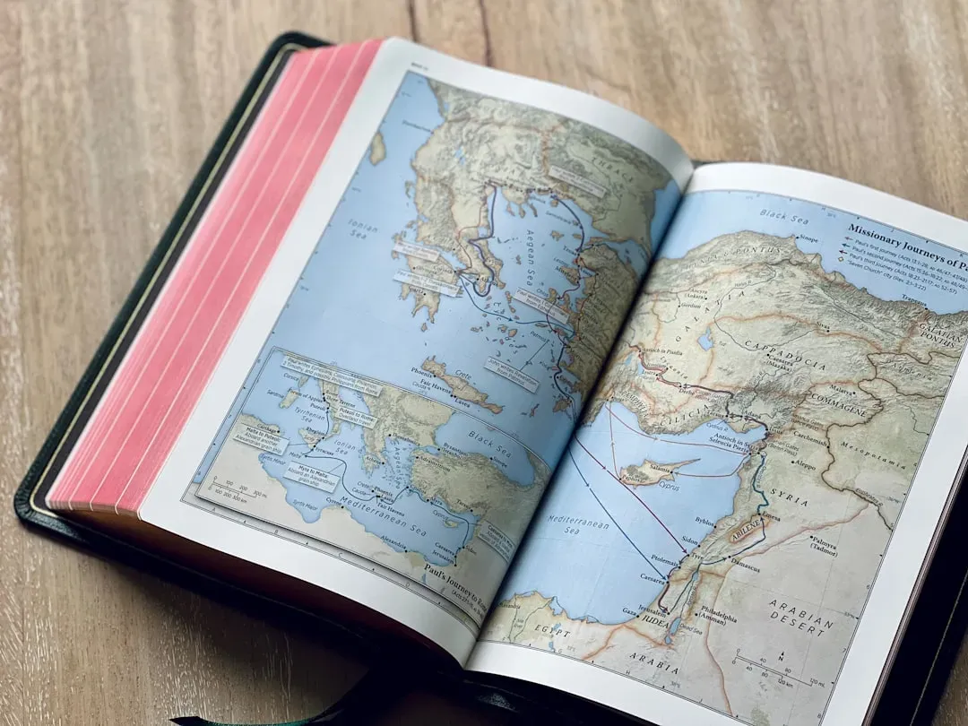
If you have ever seen one of those Bible maps with neat dots for every town, it is easy to forget how many of those locations are actually educated guesses and shifting debates. A number of lesser-known biblical places, from obscure fortified towns to villages mentioned once in a travel itinerary, remain unlocated despite over a century of intense fieldwork in the region. In inscriptions, they are listed with the same tone of everyday familiarity as “the town down the road,” but in the ground they have yet to show their faces with confidence.
Some sites originally proposed as matches have failed to hold up as pottery chronologies improved or as new excavations showed they were occupied in the wrong era. In other cases, multiple candidate tells compete for the same name, and the evidence never quite tips decisively in one direction. Many epigraphers now emphasize the uncertainty, arguing that it is better to leave a place unlocated than to paste the name onto a mound just because an atlas needs a label.
7. Phantom Islands in Classical and Medieval Sea Charts
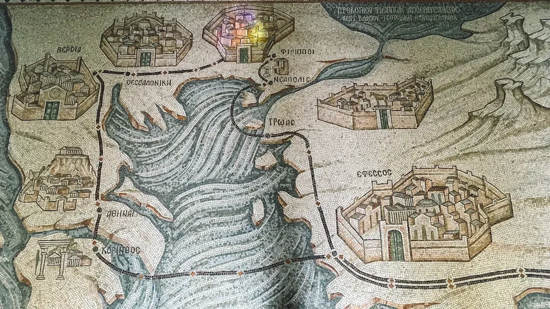
Classical inscriptions and later maritime documents sometimes reference islands or coastal stops that feel oddly like mirages. These places have names, reported distances, and associated stories of storms, shipwrecks, or safe harbors, yet modern nautical mapping and underwater surveys cannot always find a convincing physical counterpart. In a few famous cases, what was plotted as an island may have been a shifting sandbank, a seasonal shoal, or even a misunderstanding passed from sailor to sailor.
Epigraphers and historical geographers working on these references now tend to tread carefully. They treat some “islands” as snapshots of a seascape that has changed drastically, with sea levels, currents, and coastlines all reshaped over centuries. Others might be composite places born from overlapping local tales, where multiple small inlets or rocks were remembered as one named stop. The result is a patchwork of maritime toponyms that never fully line up with today’s bathymetric data, leaving a pen-and-ink archipelago partly made of ghosts.
8. The Unfound Forts of Roman Military Diplomas
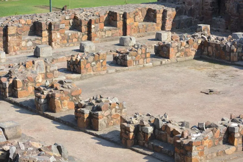
Roman military diplomas and related inscriptions often mention the forts, outposts, and auxiliary bases where soldiers served before discharge. These texts can be wonderfully specific, listing unit names and provinces and sometimes even the little forts that guarded dusty frontiers. Yet when archaeologists go hunting for those exact installations, there are still stretches of the Roman world where important-sounding forts have not been securely identified in the field.
Part of the problem is that many smaller Roman military sites were built lightly and used briefly, leaving only subtle traces. Agricultural plowing, river shifts, quarrying, and modern construction can erase ramparts that were never meant to outlast the empire. Epigraphers have become more candid about this patchiness, acknowledging that some named forts in the texts remain “somewhere out there,” their ditches long filled and their stones recycled, while their names survive only on thin pieces of bronze and stone.
9. Bronze Age Harbor Towns Mentioned in Trade Inscriptions
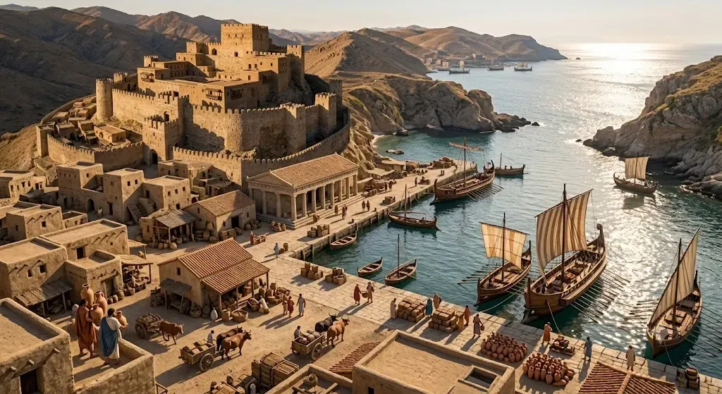
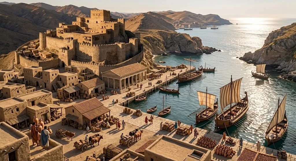
Inscriptions from Late Bronze Age trading powers speak of bustling harbor towns strung along the coasts like beads on a necklace. These places supplied timber, copper, tin, textiles, and luxury goods, and they often appear in stylized cargo lists and diplomatic letters. On the page, you can almost hear the creak of ships and the shouts on the quays. But for a surprising number of these named harbors, archaeologists have either never found them or cannot be completely certain which archaeological site matches which ancient name.
Coastal zones are especially cruel to the archaeological record. Ports can silt up, coastlines migrate, and whole waterfront districts end up underwater or buried under modern cities. Scholars now openly admit that some of the most frequently mentioned Bronze Age ports are still “without a face,” known more from bureaucratic tablets than from excavated piers or warehouses. It is a bit like knowing the names of all the airports on someone’s boarding passes but having no idea where half of them sit on the modern globe.
10. The Shifting Heartlands of “Peoples” in Monumental Inscriptions
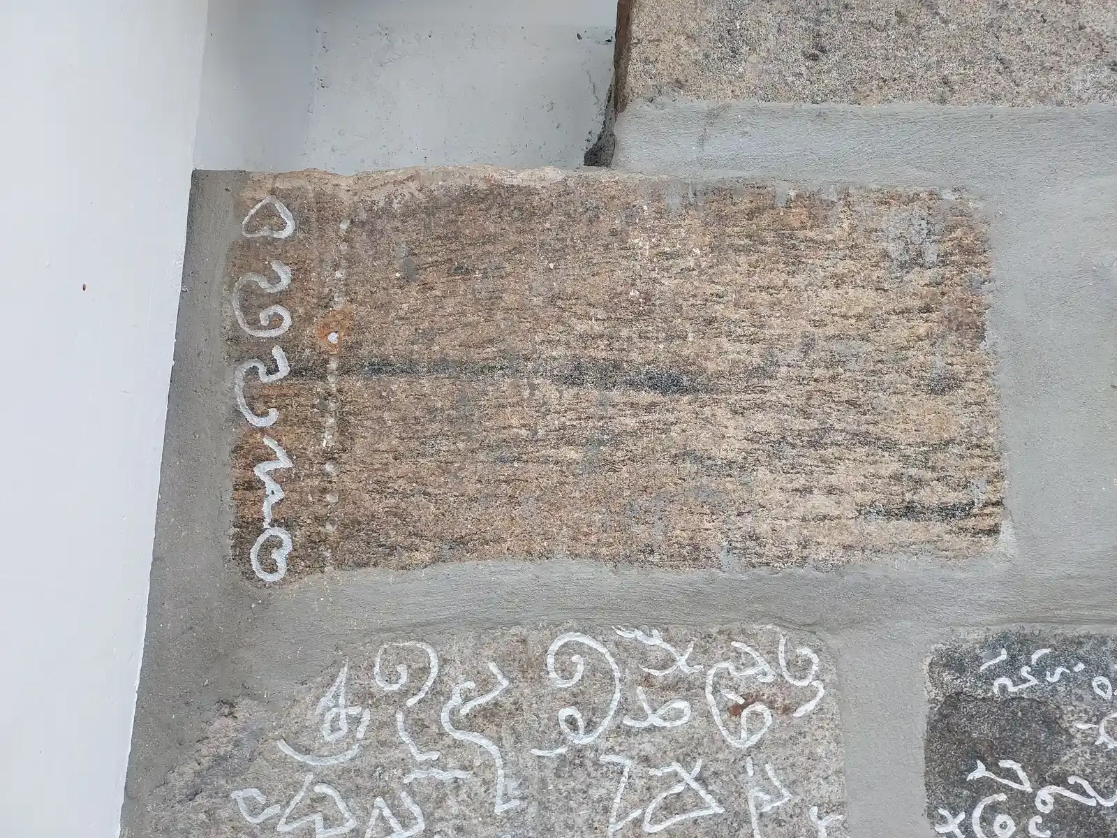
Monumental royal inscriptions love to list conquered peoples and their homelands, often in melodramatic columns of names. These texts create the impression that every group and every land can be precisely pinned on a historical atlas. In practice, the homeland of a named people may be more like a moving cloud than a stationary point, especially for groups that blended pastoral, agricultural, and trading lifestyles across broad regions.
Epigraphers increasingly stress that many of these toponyms encode political rhetoric as much as geography. A king boasting that he subdued “the land of X” might mean he gained influence over networks of clans and routes, rather than capturing a capital city we can expect to uncover. As a result, numerous “lands” in the inscriptions remain archaeologically unlocated not because they never existed, but because they were never single, neatly bounded patches of dirt in the first place.
11. Sacred Mountains and Rivers That Resist Identification
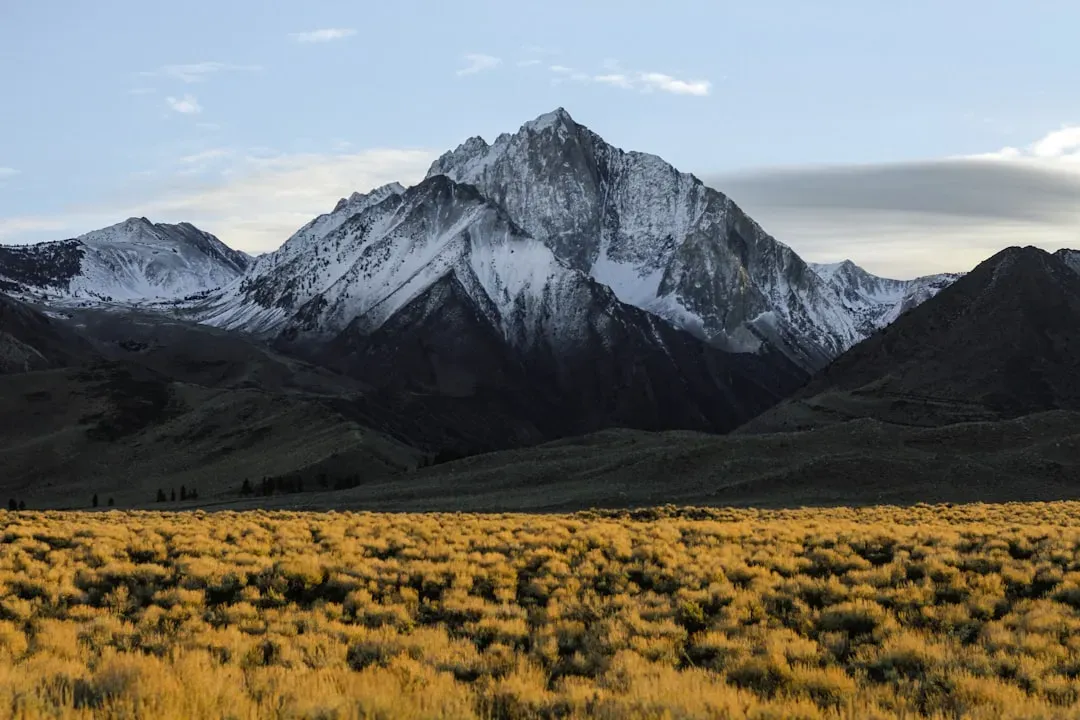
Finally, some of the most haunting unlocated places in inscriptions are not cities or provinces at all, but sacred landscapes. Texts from many cultures mention holy mountains, miracle-working springs, or rivers with divine patrons. These places were wrapped in myth and ritual, and ancient writers saw no need to provide grid references or detailed turn-by-turn directions. They simply assumed that everyone knew “that” mountain or “that” river bend, the way locals still talk about “the old church” without further clarification.
Over centuries, though, names can drift from one peak to another, rivers can change course, and once-famous shrines can crumble beyond recognition. When modern scholars try to match a celebrated sacred place in the inscriptions with a real-world feature, they often end up with several plausible options and no decisive evidence. Many epigraphers have become more comfortable saying “we do not know” and treating these holy toponyms as powerful but unmoored anchors of memory, hovering over the landscape rather than locking onto a single GPS location.
Conclusion: When the Text Knows More Than the Map
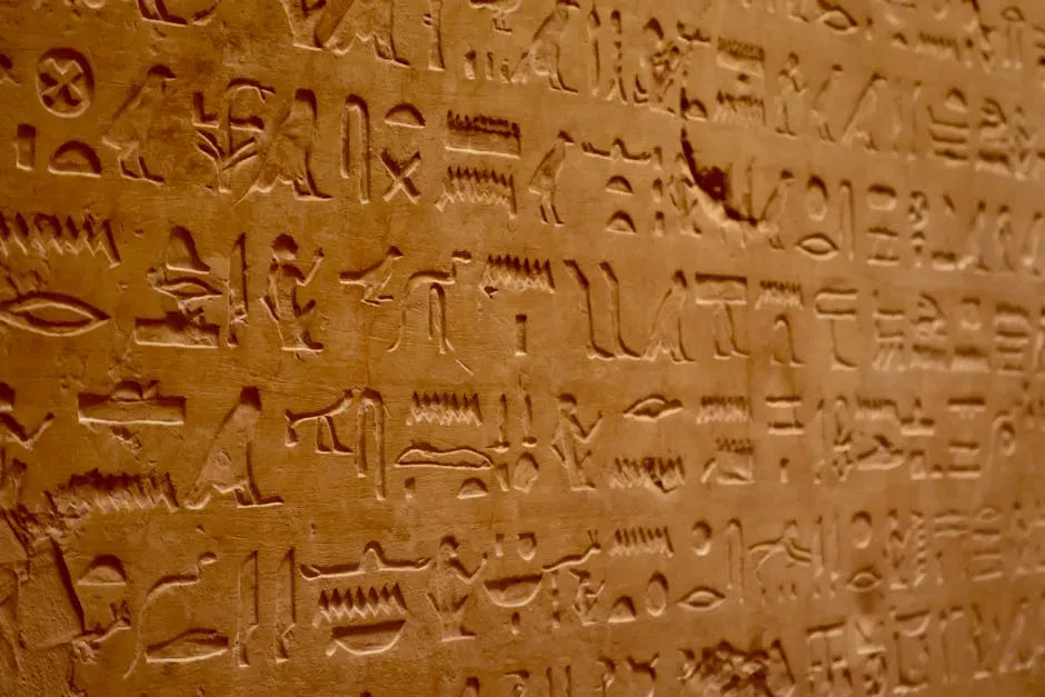
What ties all these examples together is a simple but uneasy truth: sometimes the ancient text really does know more than the modern map. As someone who spends a ridiculous amount of time reading about sites that may or may not exist where a textbook says they do, I find this both humbling and oddly comforting. It reminds me that the past is not a solved puzzle but an ongoing argument between what was written, what survived in the ground, and what we are willing to admit we still cannot see.
Epigraphers today are, in my view, at their best when they resist the urge to force every named place into a neat modern location just to close the file. Accepting that important lands, harbors, forts, and shrines can be vividly present in inscriptions yet archaeologically unlocated is not a failure; it is intellectual honesty. It leaves room for new discoveries, but it also warns us that not everything can be rediscovered with a trowel and a drone survey. In a way, these missing places keep the discipline honest, asking us a quiet question every time we open an excavation report: how much uncertainty are we brave enough to live with?