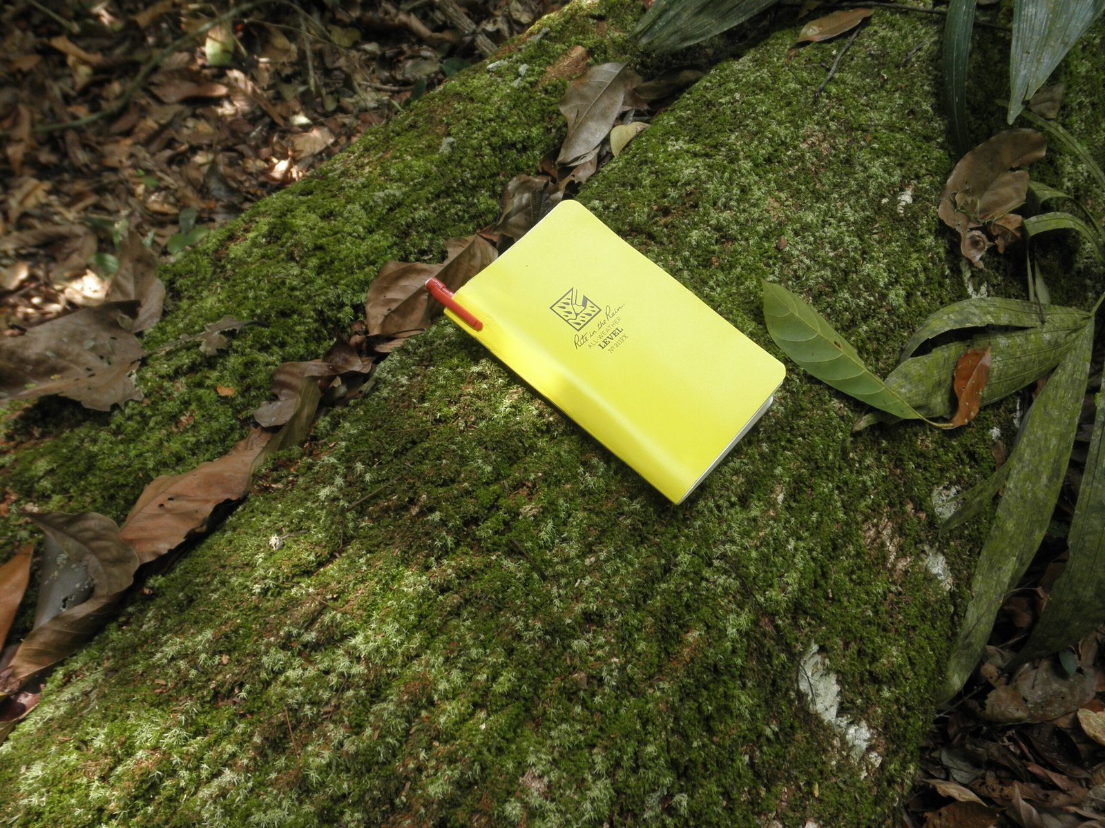
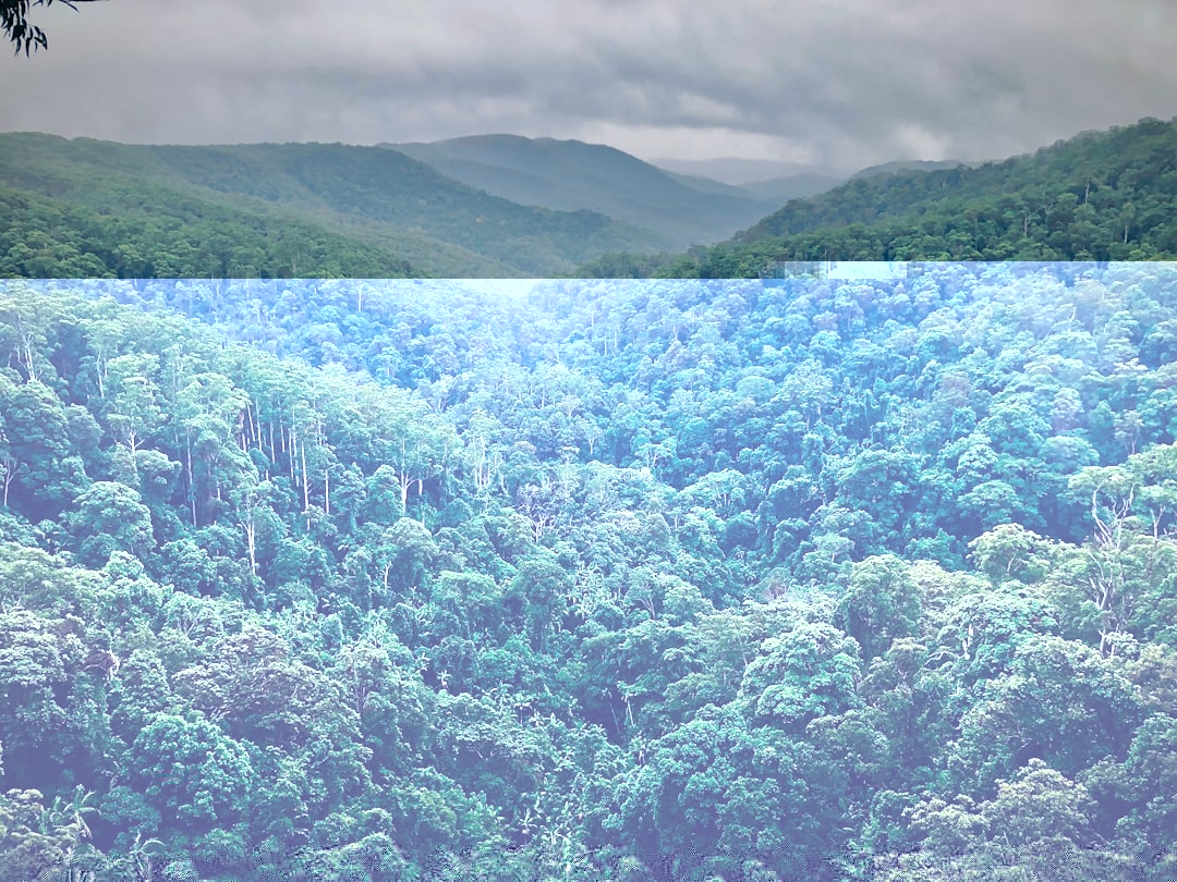
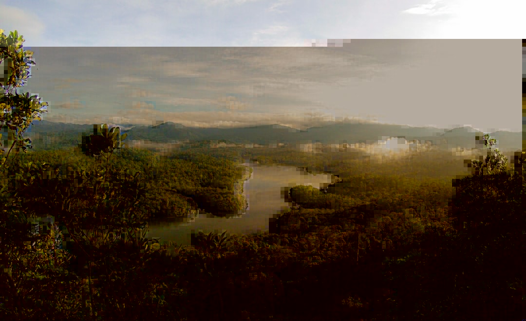
You might imagine the Amazon as an endless sea of green—mysterious, impenetrable, and untouched. But what if I told you that buried beneath this leafy canopy lies a lost world, a civilization far older and grander than we ever dared to believe? Thanks to a technology that bounces invisible waves through the thickest jungle, we’re now peering back in time with a clarity no explorer, archaeologist, or dreamer could have imagined even a decade ago. It’s not magic—it’s radar. And it’s transforming every idea we have about who lived in the Amazon, how they built, and how they vanished (or maybe, never really did).
The Amazon’s Hidden Secrets: Why We Looked Away for So Long
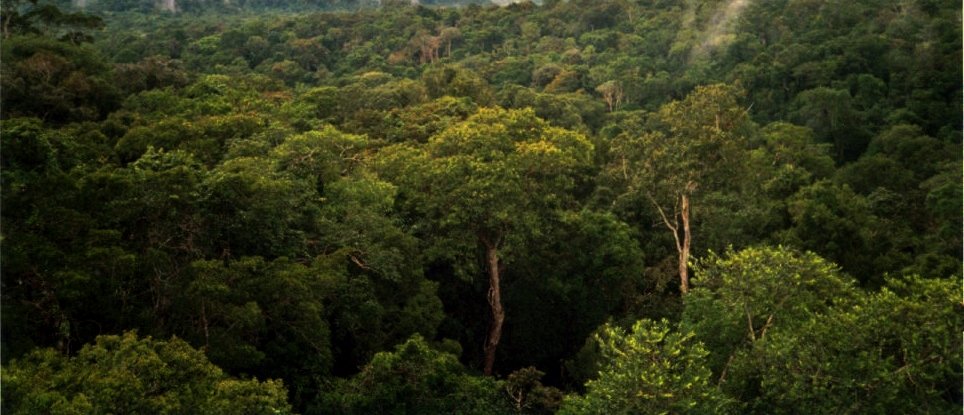
For centuries, many believed the Amazon was simply too harsh for complex societies to thrive. Early explorers described endless forests, disease, and rivers teeming with danger. The thick canopy was like a locked door, hiding what lay beneath. Some dismissed the tales of ancient cities as fantasies. The forest seemed to swallow any evidence of human achievement, making the idea of lost civilizations easy to doubt. As a result, the myth of a “pristine wilderness” stuck. This belief shaped our maps, our research, and even our imagination. But the truth was always waiting just beneath the surface—literally.
What Is Radar, and How Does It See Through Trees?
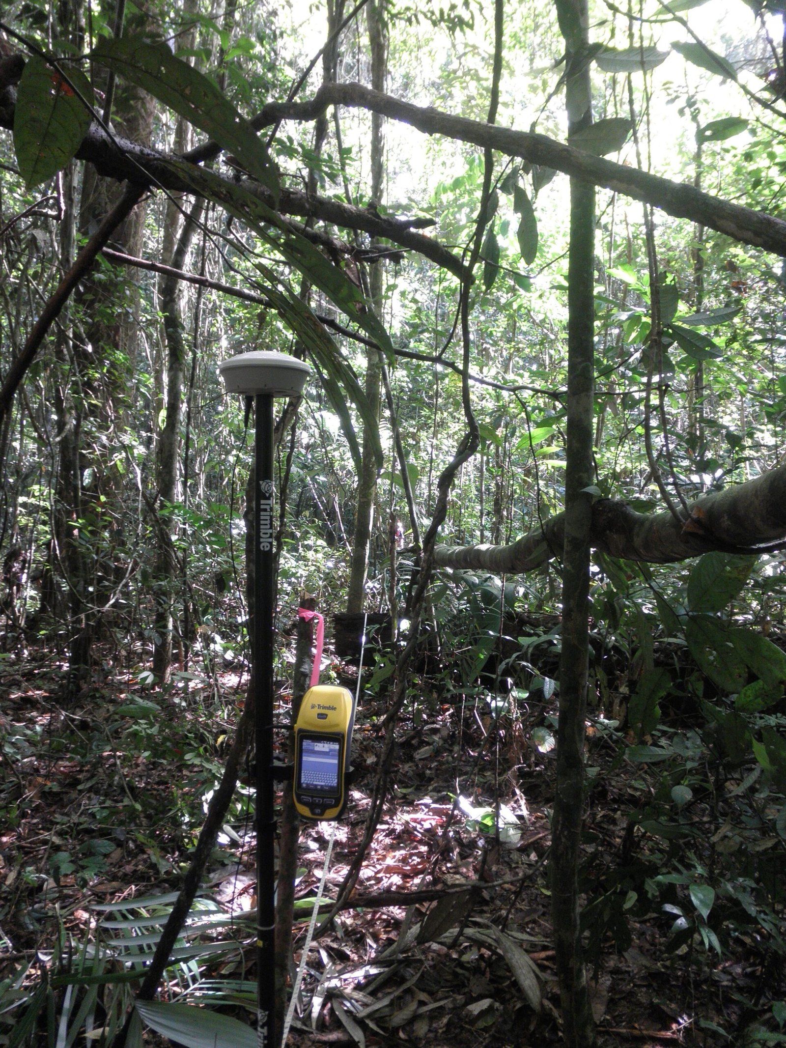
Radar isn’t just for catching speeders or tracking planes. In archaeology, we use a special kind called LiDAR (Light Detection and Ranging). Imagine shining a flashlight through fog—the light bounces off everything it hits, and the reflections create a picture. LiDAR works the same way, using laser pulses from drones or planes to pierce the thick tree cover. These beams bounce off the ground and return data, revealing subtle changes in elevation. What emerges is a ghostly, astonishingly detailed map of the earth beneath the trees. Suddenly, ancient roads, mounds, and city grids leap into view, invisible to the naked eye but clear as day to the laser.
From Legends to Laser Beams: The First Big Amazon Discoveries
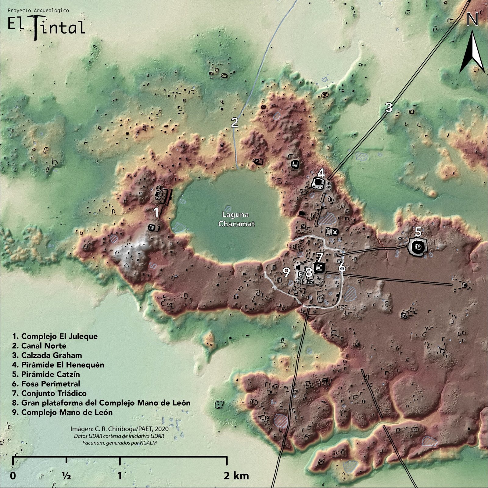
The first time LiDAR was flown over the Amazon, researchers were stunned. Instead of random patches of forest, they saw vast geometric shapes: circles, squares, and lines that could only be manmade. These weren’t just small villages—they were cities, connected by straight roads and ditches stretching for miles. In places like Bolivia and Brazil, LiDAR revealed hundreds of mysterious earthworks—called geoglyphs—hidden under dense vegetation. Overnight, the story of the Amazon changed from one of untouched wilderness to a lost landscape of bustling communities and skilled engineers.
The Scale of Ancient Amazonian Civilization Revealed
Before radar, archaeologists would spend years hacking through vines and mud only to discover a single mound or wall. Now, in just a few days, LiDAR can scan hundreds of square kilometers. The results are staggering—one recent survey uncovered more than 150 previously unknown settlements in less than a week. Some sites are as large as medieval European towns, hinting at populations that could have rivaled those of ancient Greece or Egypt. The sheer scale suggests a level of organization, agriculture, and governance far beyond what anyone imagined.
Uncovering Lost Roads and Canals: The Amazon’s Ancient Infrastructure
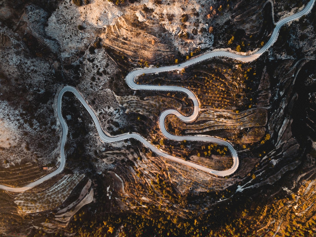
One of the most surprising radar finds has been the vast network of roads, canals, and raised fields crisscrossing the forest floor. These aren’t random paths—they’re straight, carefully engineered, and sometimes stretch for tens of kilometers. They connected communities, facilitated trade, and even managed water in a landscape prone to floods. The presence of such infrastructure means these societies weren’t just surviving—they were thriving, adapting the jungle to their needs. Some roads align so precisely they suggest advanced knowledge of astronomy and geometry, echoing achievements of other ancient cultures.
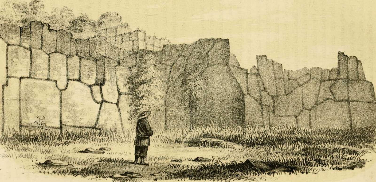
Earthworks and Geoglyphs: The Amazon’s Mysterious Artistry
Throughout the western Amazon, LiDAR has uncovered elaborate earthworks—giant geometric shapes carved into the soil. Circles, squares, zigzags, and interconnected enclosures dot the landscape, some dating back over 2,000 years. These geoglyphs are so massive they can only be fully appreciated from above. Their purpose is still debated—were they ceremonial centers, community gathering places, or markers of territory? Whatever their use, they show a remarkable capacity for planning and large-scale labor, hinting at a society deeply connected to both land and sky.
Rediscovering Ancient Urban Centers
Perhaps the most dramatic radar revelations have been entire city layouts, hidden for centuries by leaves and shadows. In the Upper Xingu region of Brazil, LiDAR exposed a complex urban grid: clusters of houses, defensive ditches, plazas, and causeways. These settlements were organized in a way that suggests social hierarchy and communal planning. They challenge the stereotype of the Amazon as a place of scattered tribes. Instead, it was home to organized, urbanized people who left their mark in earth and stone, now visible for the first time in centuries.
The Puzzle of Terra Preta: Black Earth and Ancient Farming
LiDAR has also helped locate vast stretches of “terra preta,” the Amazon’s mysterious black soil. Unlike the nutrient-poor dirt typical of the rainforest, terra preta is rich, dark, and bursting with fertility. It was created deliberately by ancient people through burning, composting, and careful management—a kind of prehistoric super-fertilizer. The spread of terra preta across LiDAR-mapped sites suggests large-scale agriculture and a mastery of soil science. This challenges the old notion that the Amazon could never sustain big populations.
Challenging Old Myths About the Amazon’s Past
For generations, the prevailing belief was that the Amazon’s poor soil and harsh conditions made it impossible for sophisticated societies to develop. Radar has blown that myth wide open. The evidence now shows that ancient Amazonians engineered their environment, created fertile soils, and built cities as complex as any found elsewhere. These discoveries force us to rethink everything we thought we knew about the jungle, its people, and just how advanced they really were.
Why Did These Civilizations Disappear?
With radar revealing such immense settlements, the next big question is: where did everyone go? Many researchers believe that diseases brought by Europeans in the 16th century devastated these populations, wiping out as much as 90%. With no one left to maintain them, cities crumbled and the jungle reclaimed its own. Others suggest that social upheaval, changing climate, or resource depletion played a role. Radar can’t answer these questions directly, but by mapping settlements and roads, it helps us trace the rise and fall of these vanished worlds.
Modern Descendants: Unbroken Threads to the Past
It’s tempting to think of Amazon’s ancient civilizations as completely lost, but that’s not the full story. Many Indigenous peoples living in the Amazon today are direct descendants of those early builders. Their knowledge of plants, water, and weather is a living link to the past. As radar uncovers long-lost cities, these communities are gaining recognition for their resilience and ingenuity. Some are even working with scientists to interpret radar findings, weaving together ancient memory and modern technology.
Conservation and the Race Against Time
Radar is revealing wonders, but it’s also sounding an urgent alarm. Many sites lie in areas threatened by deforestation, mining, and development. Each year, priceless traces of Amazonian history are bulldozed before they’re even discovered. By mapping these sites from the air, radar gives conservationists a powerful new tool. Protected areas can be expanded; laws can be strengthened. The race is on to document, understand, and save these treasures before they’re lost forever.
New Archaeological Methods: Pairing Radar with Traditional Techniques
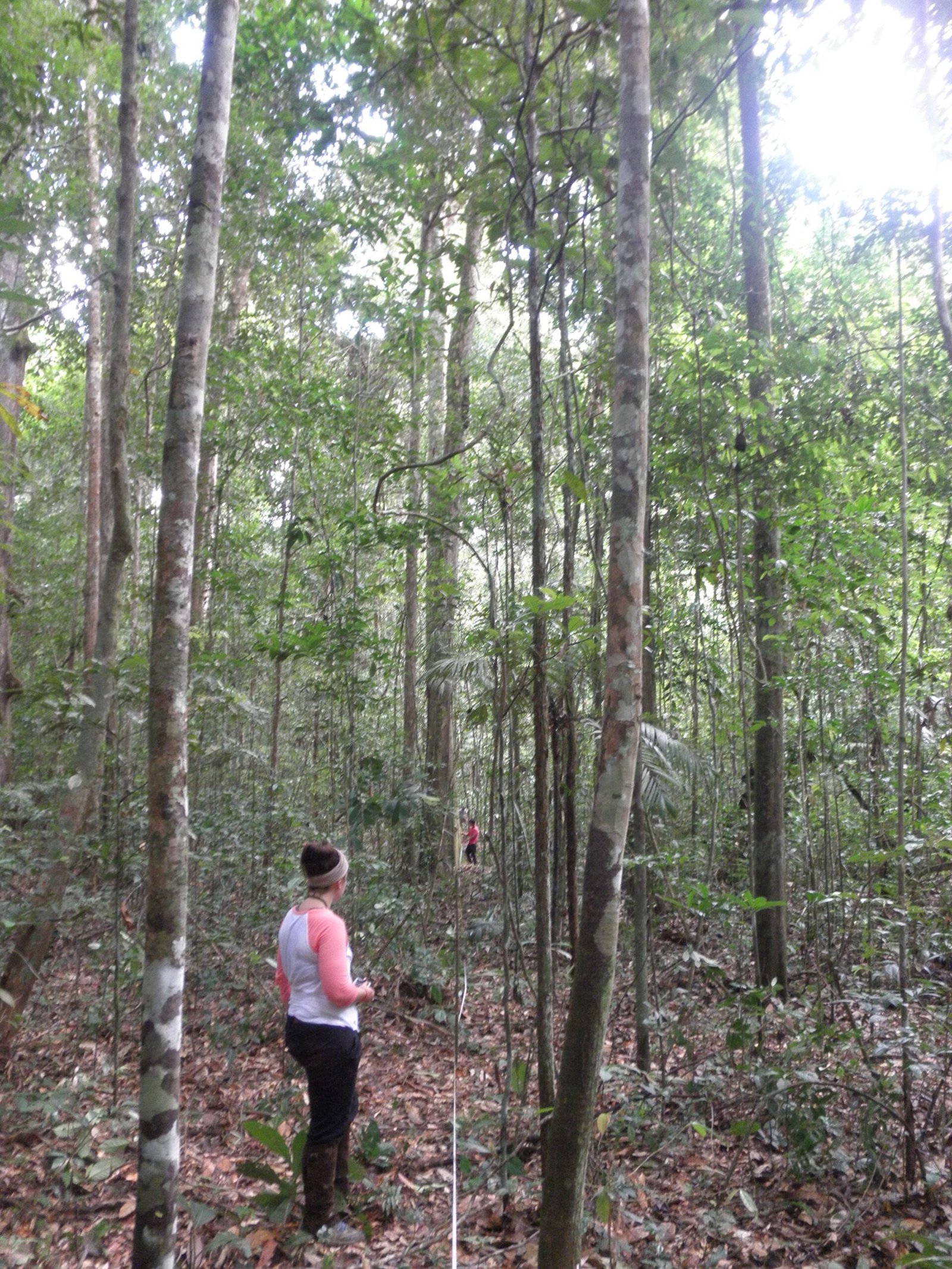
LiDAR doesn’t make boots-on-the-ground archaeology obsolete—it supercharges it. Once radar spots a promising site, archaeologists can plan targeted digs, saving time and resources. The combination of high-tech mapping and old-fashioned excavation is revealing artifacts, bones, and pottery that tell rich stories about daily life. This blend of methods is creating a golden age of Amazonian archaeology, where every new discovery builds on the last in a dazzling cascade of insight.
The Global Impact: Rethinking Civilization’s Origins
The Amazon isn’t the only place where radar is rewriting history, but it may be the most dramatic. These discoveries are shaking up global debates about when and where the first complex societies arose. Suddenly, the Amazon joins Egypt, Mesopotamia, and China as a cradle of civilization. Researchers are now comparing ancient Amazonian city planning with those of other regions, searching for patterns and innovations that might have spread across continents.
Technological Advances: The Future of Radar Mapping
Radar technology is advancing at lightning speed. Newer LiDAR systems can scan larger areas faster and with even greater detail. Satellites now carry radar instruments that can map the earth from space, offering even broader coverage. In the near future, we may be able to map the entire Amazon basin in a matter of years, not decades. With every scan, new surprises lurk just beneath the green, waiting to be revealed.
The Role of Indigenous Knowledge in Interpreting Radar Data

Modern science is powerful, but local wisdom is irreplaceable. Indigenous elders often recognize patterns in radar images—old trails, mounds, or fields—that outsiders would miss. Their stories and oral histories help archaeologists understand the meaning behind the shapes. The best research now happens when scientists and local communities work hand-in-hand, blending technology with tradition for a richer, fuller picture of the past.
Education and Public Fascination: Inspiring the Next Generation
As radar maps pour in, museums, schools, and TV specials are bringing these discoveries to the public. Kids are learning that the Amazon wasn’t an empty green sea, but a place of cities, engineers, and artists. The sense of wonder is contagious. Who knows how many future archaeologists, scientists, or explorers are being inspired right now by the ghostly outlines of ancient Amazonian roads and plazas glowing on a computer screen?
Environmental Lessons from the Amazon’s Ancient Engineers
The radar-mapped remains of raised fields, canals, and managed forests reveal a people who understood how to live with the land, not just on it. Unlike modern deforestation, ancient Amazonians worked with nature, boosting soil fertility and managing water without destroying the ecosystem. Their example offers powerful lessons for us today, as we grapple with climate change and sustainability. Sometimes, the best answers come from the past.
Art, Culture, and the Human Story Beneath the Canopy
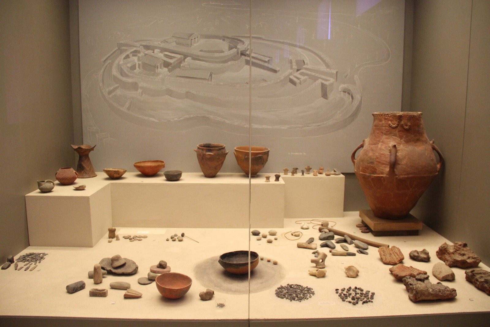
It’s easy to get lost in the technical marvel of radar, but at its heart, this is a human story. Every mound, ditch, or geoglyph is a testament to creativity, belief, and the struggle to thrive. Pottery fragments hint at feasts and rituals; broken tools tell of daily work and invention. The radar may see shapes, but we see people—mothers, children, dreamers—leaving their mark on the world.
What’s Next? The Unfinished Map of Amazonian Civilization
The story is far from over. Each new radar scan opens another chapter, revealing cities and mysteries we never expected. The Amazon, once thought to be a blank spot on the map, is emerging as one of humanity’s oldest and greatest experiments in civilization. The question now isn’t whether advanced societies existed here, but how many more remain to be discovered. The jungle, it turns out, is not a wall but a veil—and radar is the key that’s finally drawing it back.