When rain hammers the Gulf Coast and tides push inland, Louisiana’s landscape can feel like a chessboard where water always has the next move. The state’s long fight with floods is more than bad luck; it’s geology, engineering, and a fast‑changing climate colliding in real time. River levees, sinking land, and stronger downpours have rearranged how and where water flows, often funneling it into neighborhoods that were once considered safe. Scientists are decoding the patterns, historians are pointing to old maps, and residents are rebuilding – again. The mystery isn’t why Louisiana floods, but why the old playbook keeps failing, and what a smarter, future‑proof plan really looks like.
The Hidden Clues
What if the most revealing flood map is hidden in the mud? Core samples pulled from marshes and former river channels read like diaries of past deluges, showing layers of sand and silt left by storms that roared through centuries ago. Those layers line up with oral histories and yellowed survey notes, sketching a sobering truth: water has always tested the margins of the Mississippi River delta. But the frequency and footprint are shifting, and the clues now point to a landscape more exposed than it used to be.
Walk the rim of a bayou after a king tide and you’ll see marker lines – oyster shells, wrack, bits of spartina – left high on grass that stayed drowned for hours. Across the coast, such small “tells” add up, confirming what satellites observe from above: tidal reach is creeping farther inland and lingering longer. The puzzle pieces fit too neatly to ignore.
From Ancient Deltas to Modern Science
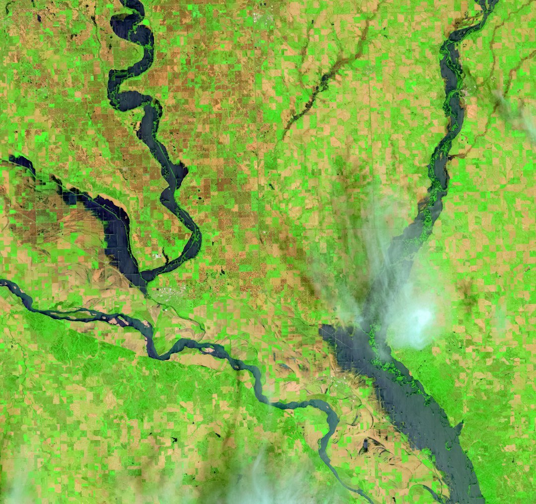
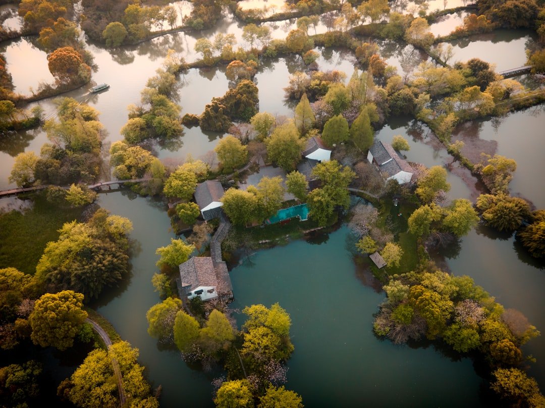
The Mississippi built southeast Louisiana grain by grain, dropping sediment when floodwaters fanned across the plain. Modern levees curbed that natural spread, protecting lives and industry but also starving marshes that need fresh mud to keep pace with rising seas. Today, scientists pair old river charts with lidar, GPS benchmarks, and tide gauges to track how fast the ground sinks and the water rises together. The result is a clear measure of “relative sea‑level rise,” which in many coastal parishes ranks among the fastest in the United States.
Field crews now map ghost forests where saltwater has crept into once‑fresh wetlands, killing trees that once anchored soggy soil. It’s a feedback loop: as wetlands die and degrade, waves reach farther, erosion accelerates, and flood barriers – natural and built – lose their edge. The delta is still moving, just not in the direction people hoped.
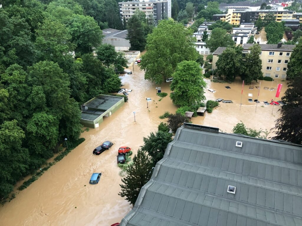
The Levee Paradox
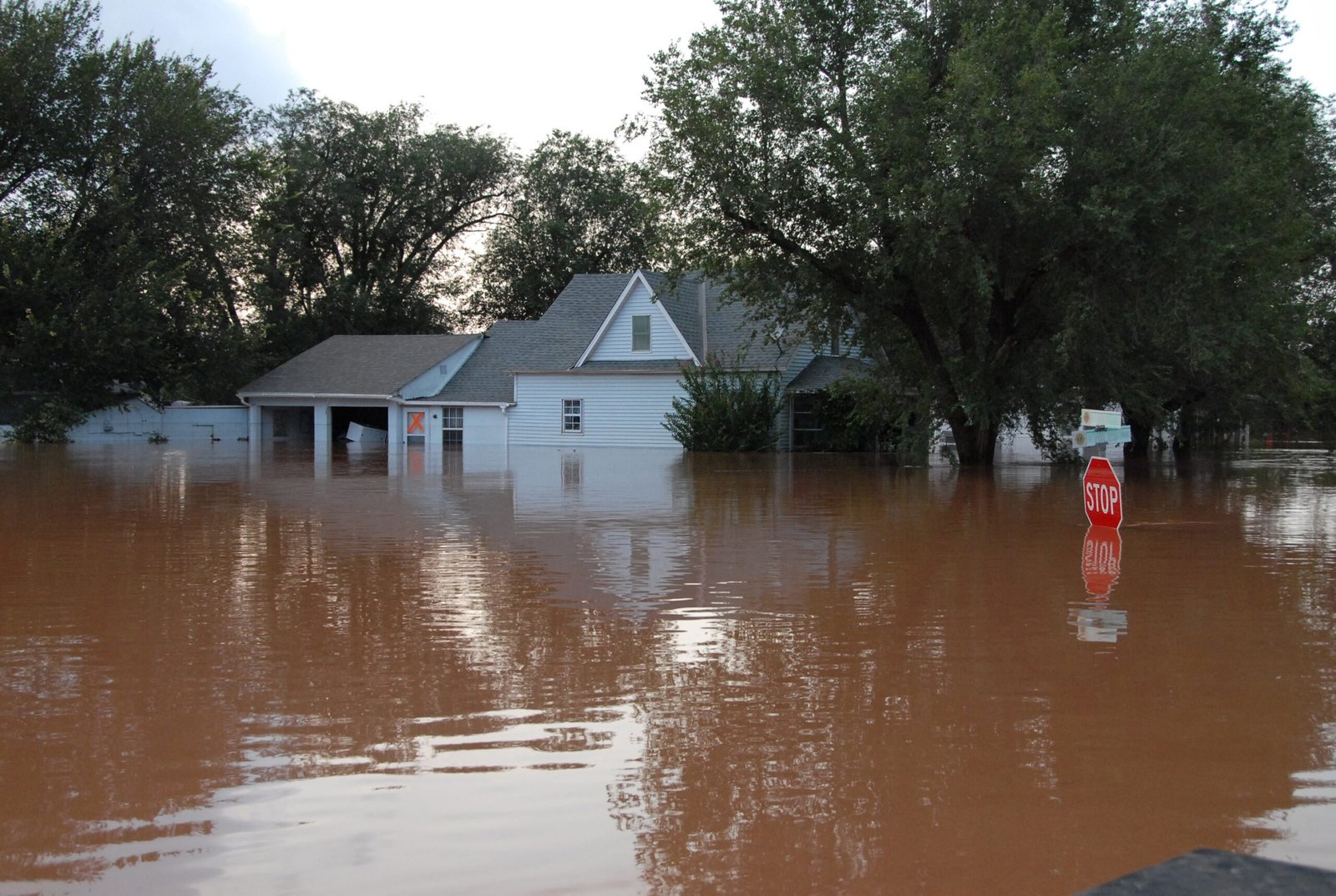
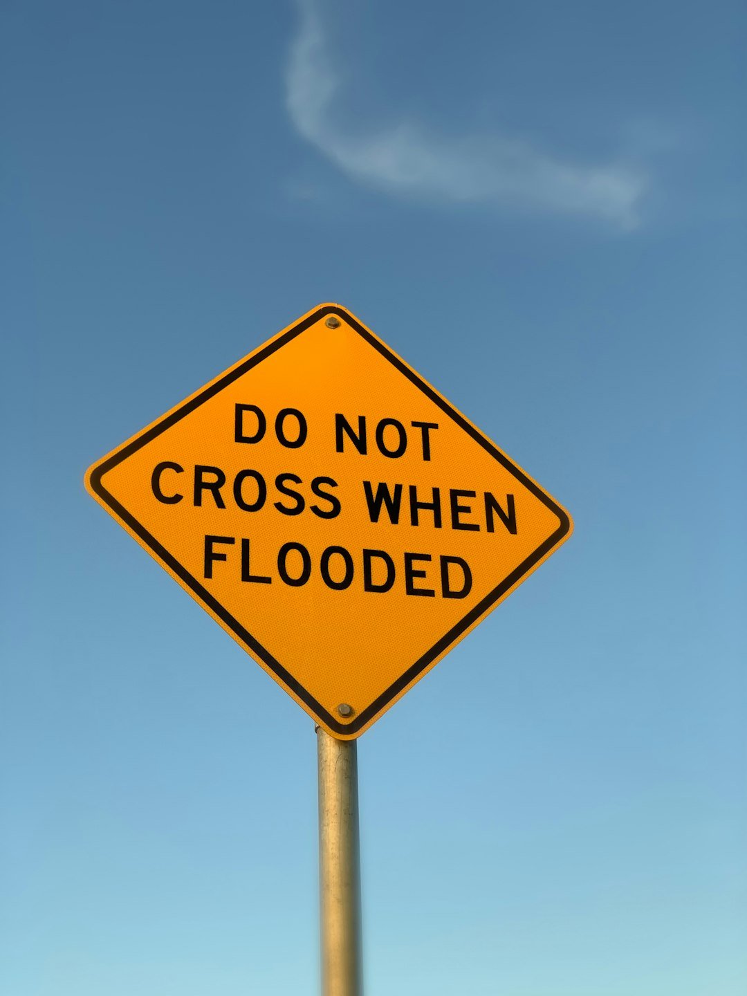
Levees are Louisiana’s iconic armor, yet their success against river floods can worsen urban deluges from the sky. By walling off floodplains, we keep sediment in the channel and water off the land – until cloudbursts overwhelm storm drains and have nowhere easy to go. Cities like New Orleans rely on pumps and canals to lift rainwater over levees and out to the lake or the Gulf, a system that performs brilliantly until rain bands stall and power blinks. The paradox is simple: stronger fortifications against one hazard can intensify another.
I remember crawling along an elevated highway near LaPlace while sheets of rain turned frontage roads into canals; the river stayed tame behind its walls, but neighborhoods on the “dry” side were anything but. Infrastructure built for yesterday’s storms strains under today’s longer, wetter ones. The map still shows protection, but the physics have changed.
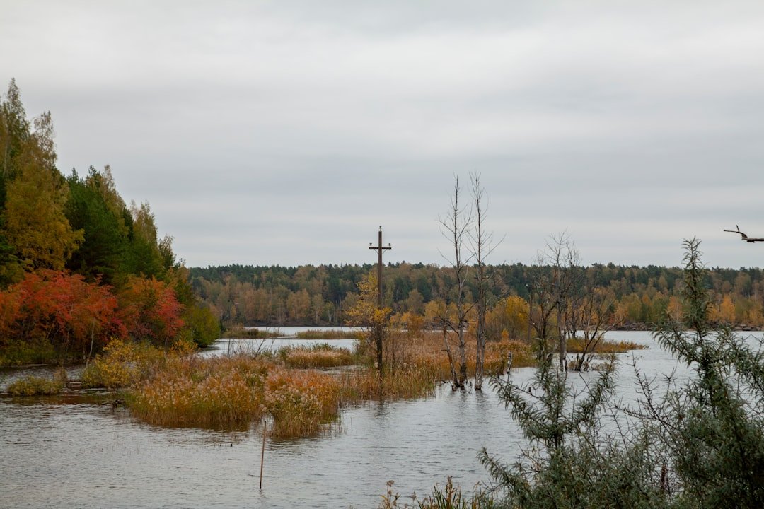
The Land That Sinks While Seas Rise
Louisiana’s ground is young and squishy by geologic standards, made of compacting mud that naturally settles over time. Decades of dredging and fluid extraction layered on human‑caused subsidence in some areas, pulling land a little lower each year. Pair that with warming‑driven ocean expansion and ice melt, and the relative rise in water against the shore becomes a stubborn, inch‑by‑inch problem. Even modest storms ride in on a higher baseline, meaning floods that once required a named hurricane can now arrive with a strong southerly wind and a spring tide.
Wetlands usually buffer surge, but as marsh platforms submerge, waves chew them up faster than restoration can build them. Elevating homes helps individual families, yet streets, schools, and utilities cannot lift at the same pace. The whole system only functions as well as its lowest point.
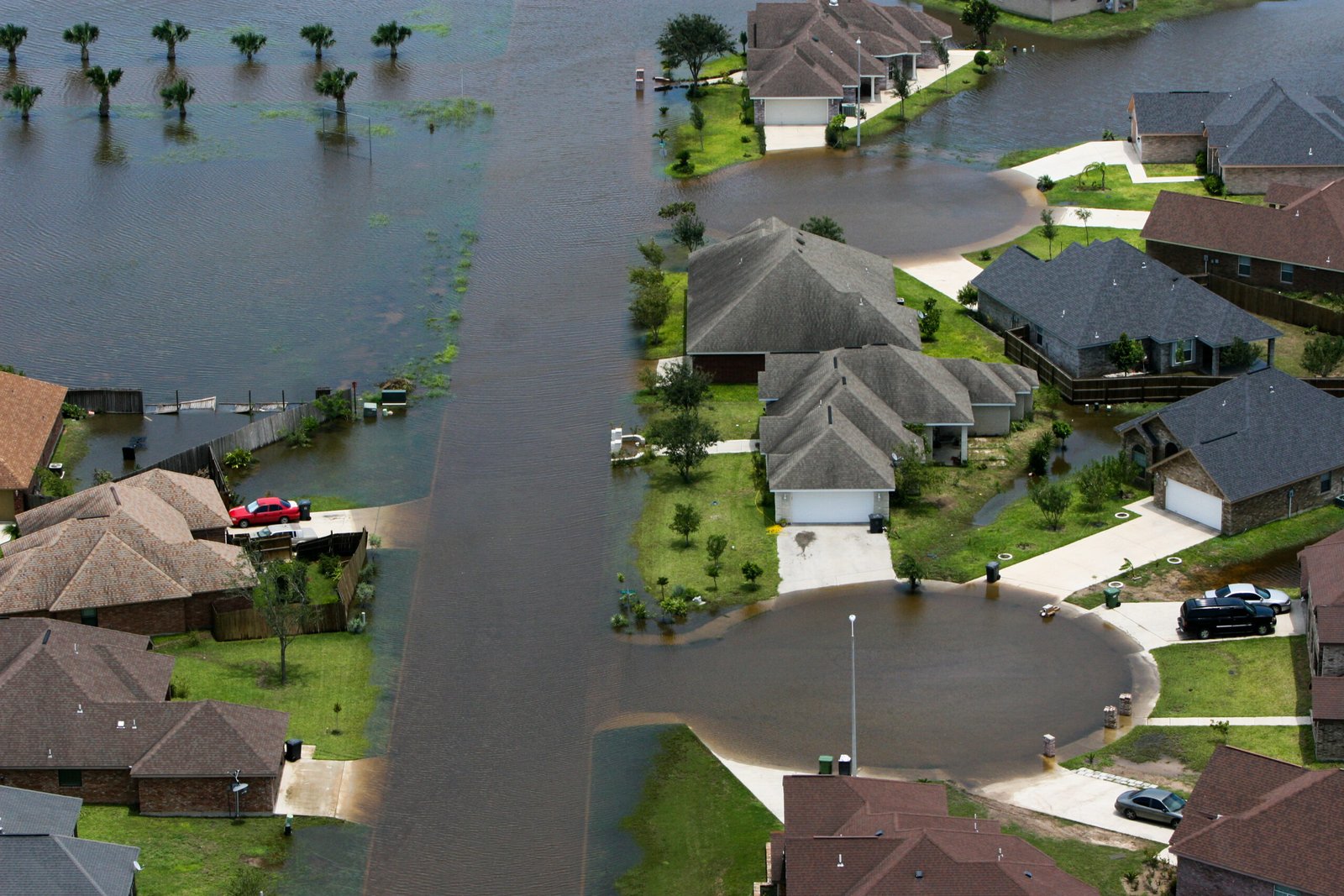
Compound Floods: Water From All Sides
Louisiana rarely faces just one type of water at a time. A slow‑moving tropical storm can dump torrents of rain while wind‑pushed surge blocks outlets, forcing bayous to back up like clogged sinks. Rivers draining the interior South may also run high days later, adding a third wave from upstream. Scientists call this “compound flooding,” and it’s quietly rewriting risk in places that once counted on singular threats.
Neighborhoods far from open water learn the hard way when rain has no escape route, while coastal towns watch water rise from street grates and shoreline at once. Forecast models have improved, blending tide, surge, and rainfall, but local topography – canal grades, culvert bottlenecks, subtle ridges – still decides who floods and who doesn’t. In a landscape barely above sea level, inches matter as much as engineering.
Why It Matters
This isn’t just a coastal science story; it’s a pocketbook and public health story with national ripples. Insurance markets wobble after back‑to‑back loss years, leaving homeowners scrambling for coverage or facing eye‑watering premiums. Flood trauma carries a quiet cost too, from mold‑ridden homes to lost school days and shuttered small businesses. Ports, refineries, and chemical corridors that power the U.S. economy sit in the same flood‑prone footprint as working‑class neighborhoods, so a single storm can tug on supply chains far beyond the Gulf.
Traditional defenses – higher levees, wider canals – still matter, but they’re not enough on their own because they don’t add sediment to sinking land or ensure rain can drain when the tide is blocked. The broader scientific significance is clear: adaptation has to work with water, not only against it. That means using data to unseal floodplains where feasible, steering sediment back into wetlands, and pairing gray infrastructure with green buffers. It’s a shift from building taller walls to building smarter landscapes.
The Future Landscape
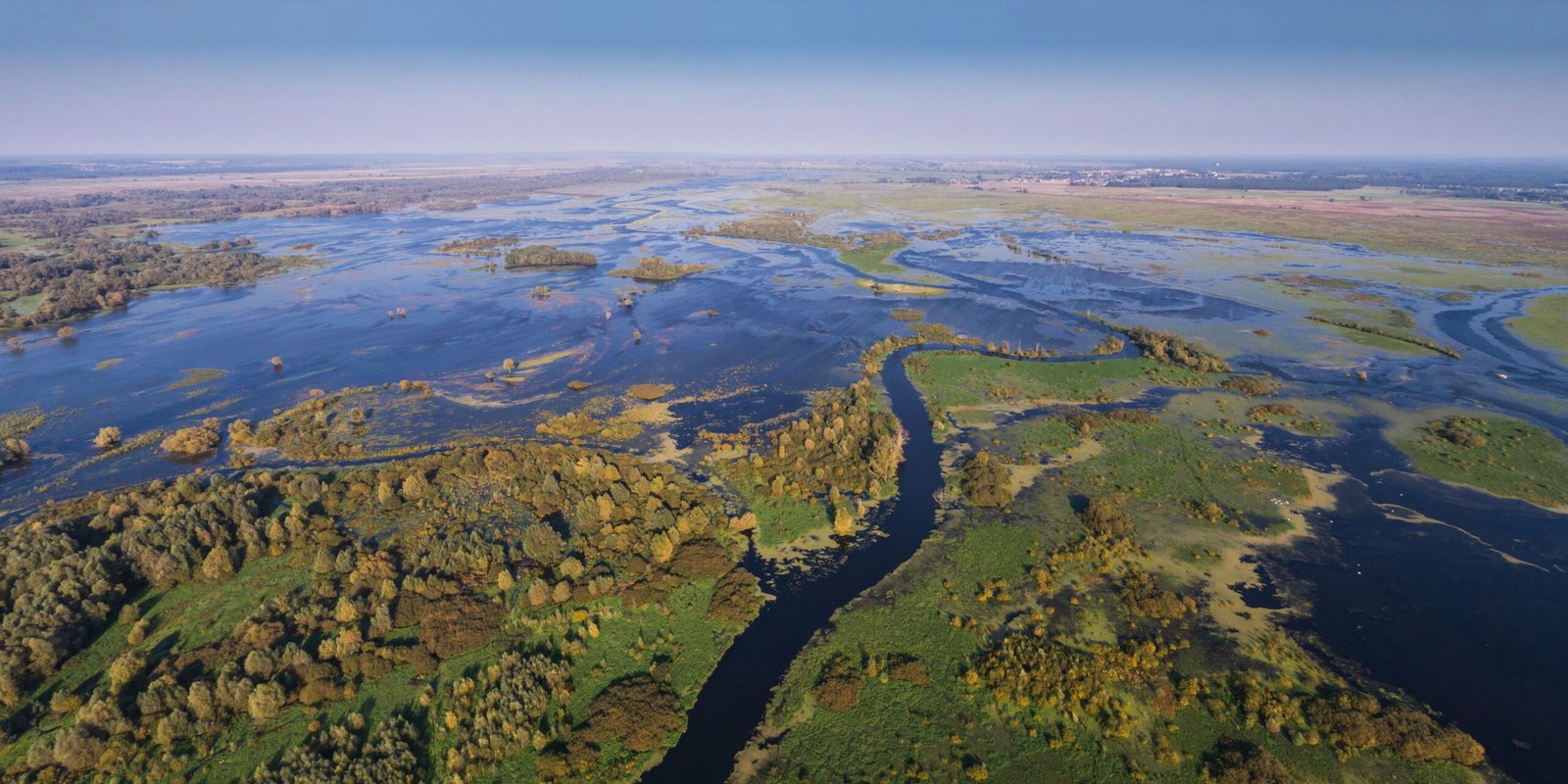
The most ambitious idea on the table is to reconnect parts of the Mississippi to its wetlands through controlled sediment diversions. Done well, these engineered outlets ferry mud into drowning basins, rebuilding marsh platforms that knock down storm waves and store carbon. It’s not a silver bullet – there are trade‑offs for fisheries and navigation – but it’s one of the few tools that can raise land rather than just raise walls. Dredge‑and‑fill projects, barrier island restorations, and living shorelines can complement diversions by shoring up weak links.
On the urban side, expect more high‑capacity pumps hardened against outages, bigger detention basins tucked into parks, and streets designed to safely pond water for a few hours instead of trying to shed every drop instantly. Hyperlocal forecasting will fuse radar, tide gauges, and ground sensors to send block‑level alerts about when to move cars or deploy flood barriers. The big challenge is timing: building land is slow, but climate pressure is fast. The window to match those speeds is narrowing.
Conclusion
Residents can’t move rivers, but they can shape what happens block by block. Support projects that put sediment back on the map, even when they’re messy to implement, because rebuilt wetlands are the best long‑term flood discount available. Ask parish leaders to prioritize elevating critical utilities, clearing drainage chokepoints, and designing streets that safely store water during cloudbursts. Consider voluntary buyouts or elevation grants if they’re offered in chronic flood zones; staying put shouldn’t mean staying underwater.
Most of all, get flood‑literate: know your local elevation, your drainage path, and the tidal timing that turns routine rain into a dangerous brew. That knowledge spreads faster than water and can save a car, a home, or a life.

Suhail Ahmed is a passionate digital professional and nature enthusiast with over 8 years of experience in content strategy, SEO, web development, and digital operations. Alongside his freelance journey, Suhail actively contributes to nature and wildlife platforms like Discover Wildlife, where he channels his curiosity for the planet into engaging, educational storytelling.
With a strong background in managing digital ecosystems — from ecommerce stores and WordPress websites to social media and automation — Suhail merges technical precision with creative insight. His content reflects a rare balance: SEO-friendly yet deeply human, data-informed yet emotionally resonant.
Driven by a love for discovery and storytelling, Suhail believes in using digital platforms to amplify causes that matter — especially those protecting Earth’s biodiversity and inspiring sustainable living. Whether he’s managing online projects or crafting wildlife content, his goal remains the same: to inform, inspire, and leave a positive digital footprint.