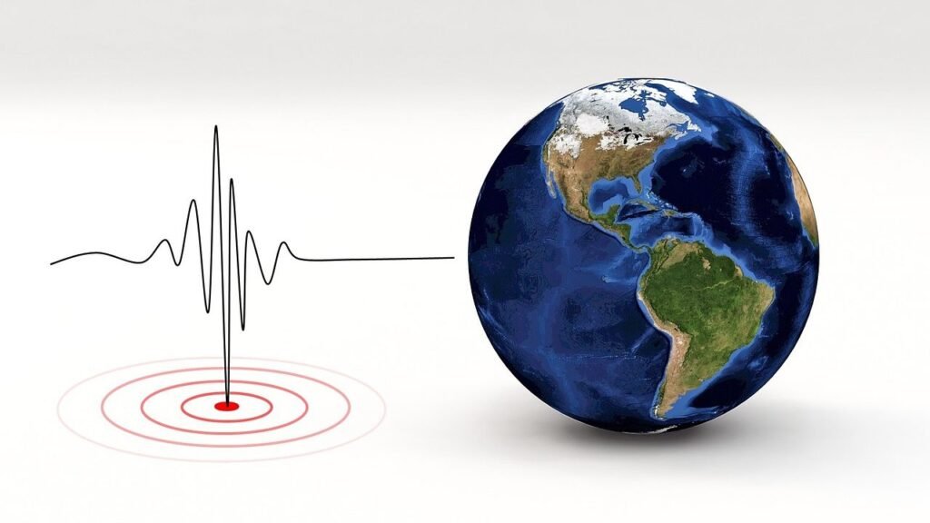
Stand on a quiet Pacific shoreline at night and the ocean sounds calm, almost sleepy. Yet miles offshore, the seafloor is flexing, faults are creeping, and hot water is breathing through volcanic vents as if the planet itself were alive. The Pacific basin hides the world’s most potent tectonic engine, a restless ring where plates dive, grind, and occasionally snap with city-shaking force. Scientists are racing to read these silent signals before they burst into the headlines as quakes, tsunamis, or undersea eruptions. The stakes are high, but so is the ingenuity now aimed at listening to the deep.
The Hidden Clues
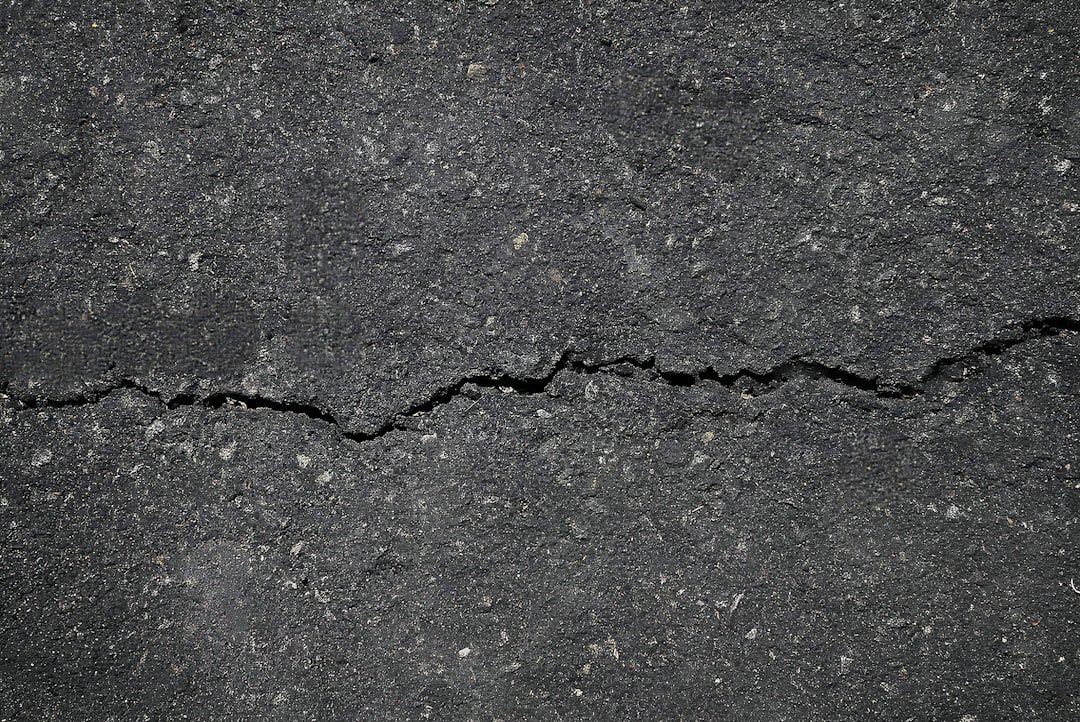
Start with a surprise: many of the Pacific’s most telling warnings make no obvious noise at all. Tiny tremors flutter like the faint tick of a distant clock, too small to rattle dishes but steady enough to reveal where strain is building. Seafloor sediments exhale methane in shimmering streams, betraying fractures that reach down toward active faults. Even the pitch of ever-present ocean waves leaks intelligence, because storms pump energy into the crust that modulates how faults respond.
I remember the first time I watched a daylong strip of tremor data scroll by – no dramatic spikes, just whispery textures like rain on tin. That “quiet” taught more than a single big jolt, mapping a fault zone that was very much awake. In this story, subtlety is the headline, and patience is the instrument that turns whispers into warnings.
From Ancient Tools to Modern Science
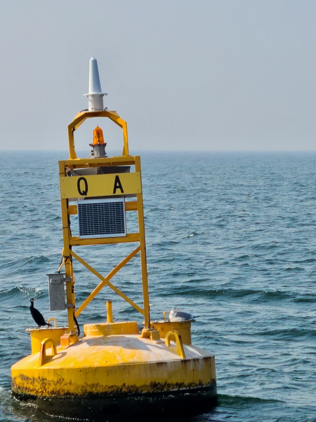
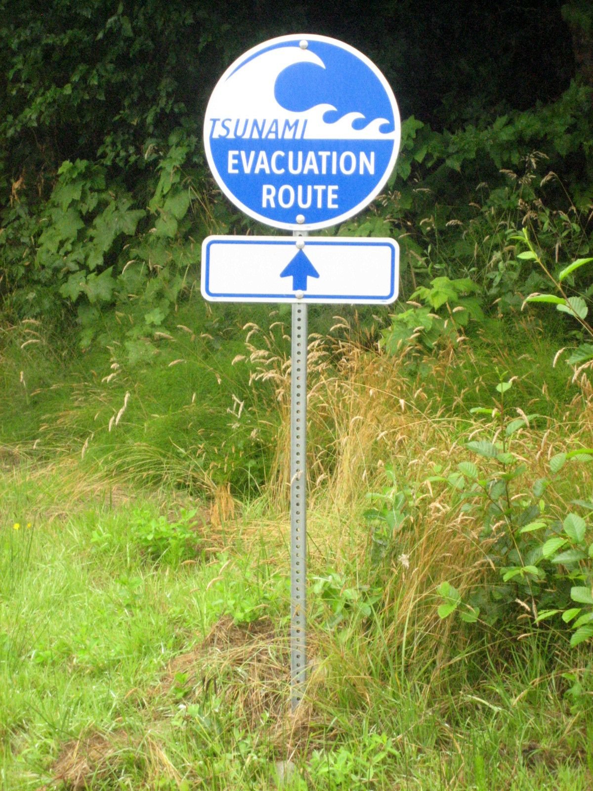
Long before satellites, coastal peoples tracked the ocean’s mood by memory: unusual retreats of water, flocks gone silent, the offshore rumble that comes before a surge. Those hard-won observations seeded today’s playbook, where tide gauges and deep-ocean pressure sensors watch for the earliest pulse of a tsunami. Overhead, radar satellites measure ground motion from space to the width of a fingernail, and constellations revisit the same coastlines every few days. Together they sketch a living map of strain, slip, and swelling magmas beneath the Pacific’s surface.
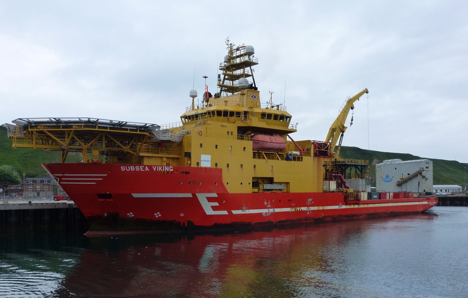
Underwater, a new generation of instruments sits on the seafloor like a string of stethoscopes. Ocean-bottom seismometers, acoustic beacons, and chemical sniffers feed continuous data into shore labs. It’s a shift from snapshots to streaming – a move as profound as swapping a disposable camera for a live broadcast.
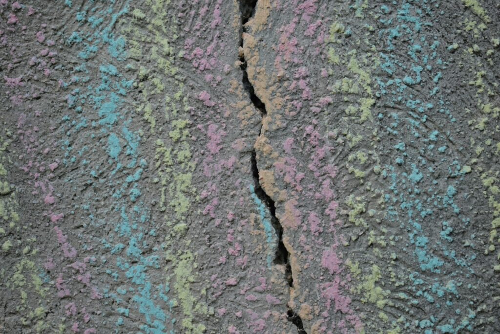
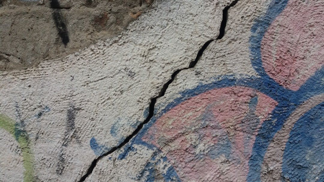
The Living Faults: Slow Slip and Silent Quakes
Not every earthquake arrives with a bang; some unfold like a sigh. Slow-slip events can shift a fault by inches over days or weeks, releasing part of the stored strain without sending strong shaking to the surface. These episodes often hum with low-frequency tremor, a kind of subterranean static that sketches out the contact between plates. In places around the Pacific rim, such as heavily monitored subduction zones, these cycles recur on a rhythm that ranges from a few months to a few years.
The intrigue is how these quiet slips interact with the loud ones. They sometimes rearrange stress in ways that nudge neighboring segments closer to failure, and other times they may act like pressure valves. Either way, they reveal where the fault is locked, where it’s creeping, and how that balance changes over time – vital intelligence for hazard models.
Volcanoes Without Islands: Submerged Fire in the Pacific
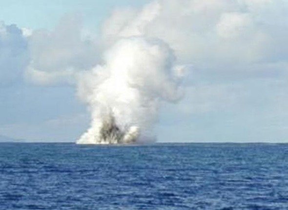
Beneath the waves lies a metropolis of volcanoes that rarely break the surface. Submarine eruptions can send ash and gas skyward, but they just as often stay unseen, building bulbous lava domes and hydrothermal spires in cold darkness. When a caldera collapses or a flank gives way, seawater can turn violent heat into explosive steam, driving powerful pressure waves and, in some cases, far-ranging tsunamis. Those blasts don’t just shake the ocean; they can redraw seafloor landscapes in hours.
After big undersea eruptions, researchers return with multibeam sonar and find fresh scars, new cones, and ash blankets as if a construction crew worked overnight. The chemistry of vent fluids shifts, hinting at magma rising or cooling at depth. It’s a reminder that volcanic risk does not stop at the shoreline – and that the largest impacts can begin completely out of sight.
Why It Matters
This isn’t only a geologic trivia night; it’s a ledger of risk and resilience. The Pacific rim hosts megacities, global ports, and coastal communities whose lives and livelihoods hinge on minutes of warning and meters of water. A major quake or seafloor landslide can damage shipping lanes, fisheries, and fiber-optic cables that carry the internet across the ocean. When those cables fail, the disruption doesn’t just slow streaming; it can choke financial transactions, emergency communications, and scientific data pipelines.
Old approaches relied heavily on land-based sensors and sparse tide gauges, leaving dangerous blind spots offshore. Today’s seafloor networks and satellite eyes shrink that gap, delivering earlier alerts and clearer maps of where the next crisis could begin. The payoff shows up in evacuation decisions, engineering standards, and insurance models that price real risk rather than luck. In short, understanding the hidden machinery beneath the Pacific turns abstract danger into actionable foresight.
Watching the Deep in Real Time
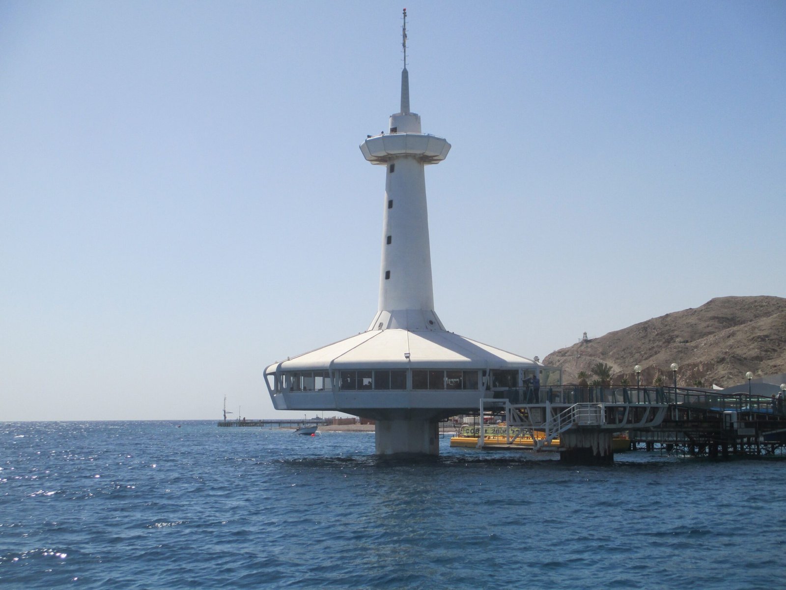
New observatories carpet the seafloor with instruments linked by cables that stream data home at the speed of light. These networks capture the first spine of a tsunami, the earliest seconds of a rupture, and the chemical mood swings that hint at rising magma. On shore, algorithms sift this firehose and push alerts to emergency managers and – more and more – directly to your phone. Every extra minute can mean a cleared bridge, a paused train, or a coastal siren that buys precious time.
Engineers are also turning existing infrastructure into sensors by listening through fiber-optic cables stretched across the seabed. That trick, called distributed acoustic sensing, lets a single strand behave like thousands of tiny microphones. Suddenly the ocean becomes an observatory the size of a continent, detecting earthquakes, ship traffic, and even passing whales. It’s not science fiction; it’s clever reuse of the world we’ve already built.
The Future Landscape
The next wave of progress will come from fusing disciplines and datasets that used to live apart. Imagine satellite deformation maps synced in real time with seafloor geodesy, pressure gauges, chemical sniffers, and machine learning that flags patterns no human analyst could spot. Smart subsea cables designed to monitor temperature, pressure, and acceleration could blanket the Pacific with passive guardians. With better coverage, hazard forecasts can move from broad probabilities to risk tiers tailored to specific coastlines and lifelines.
But the hard part isn’t only technical. Funding must keep pace with maintenance demands in a punishing saltwater world, and data sharing has to balance open science with security and privacy. Forecasts will still carry uncertainty, so public trust will depend on clear, honest communication about what we know and what we don’t. The future we want is practical, transparent, and ready before the next headline arrives.
Conclusion
Start local: learn your tsunami zones, know your uphill routes, and practice a two-minute evacuation sprint with your family. Sign up for official earthquake and tsunami alerts, and keep a small kit – sturdy shoes, water, charger – where you can grab it fast. Support coastal wetlands and dunes that buffer waves, and back community efforts to retrofit vulnerable schools, bridges, and hospitals. If you’re in tech or telecom, champion sensor-ready subsea cables and open standards that make the data useful to all.
Curiosity helps too: visit public dashboards from ocean observatories, follow your regional hazard agency, and share good information before rumors set the tone. The Pacific is always talking; the question is whether we’re listening closely enough to act in time. Will you be ready the next time the deep decides to speak?

Suhail Ahmed is a passionate digital professional and nature enthusiast with over 8 years of experience in content strategy, SEO, web development, and digital operations. Alongside his freelance journey, Suhail actively contributes to nature and wildlife platforms like Discover Wildlife, where he channels his curiosity for the planet into engaging, educational storytelling.
With a strong background in managing digital ecosystems — from ecommerce stores and WordPress websites to social media and automation — Suhail merges technical precision with creative insight. His content reflects a rare balance: SEO-friendly yet deeply human, data-informed yet emotionally resonant.
Driven by a love for discovery and storytelling, Suhail believes in using digital platforms to amplify causes that matter — especially those protecting Earth’s biodiversity and inspiring sustainable living. Whether he’s managing online projects or crafting wildlife content, his goal remains the same: to inform, inspire, and leave a positive digital footprint.