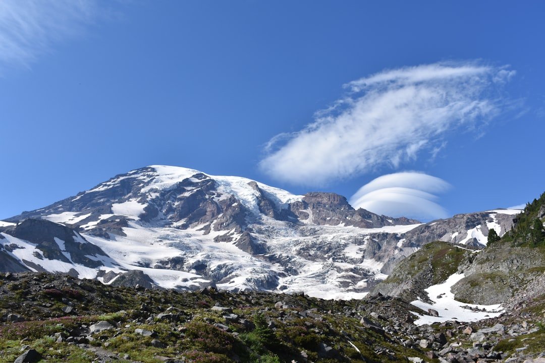
The world’s quietest volcanoes may be the ones we can’t see. Antarctica hides entire mountain chains beneath a lid of ancient ice, and when they rumble, the message travels as whispers through frozen valleys and buried lakes. For decades, scientists assumed the ice sheet moved mainly to the tug of climate and ocean, yet a growing chorus of geophysical clues says fire plays a role too. The mystery is less about dramatic lava fountains and more about heat, pressure, and water sneaking along the bed of the ice like a secret river. Understanding that hidden plumbing could change how we predict the continent’s future.
The Hidden Clues
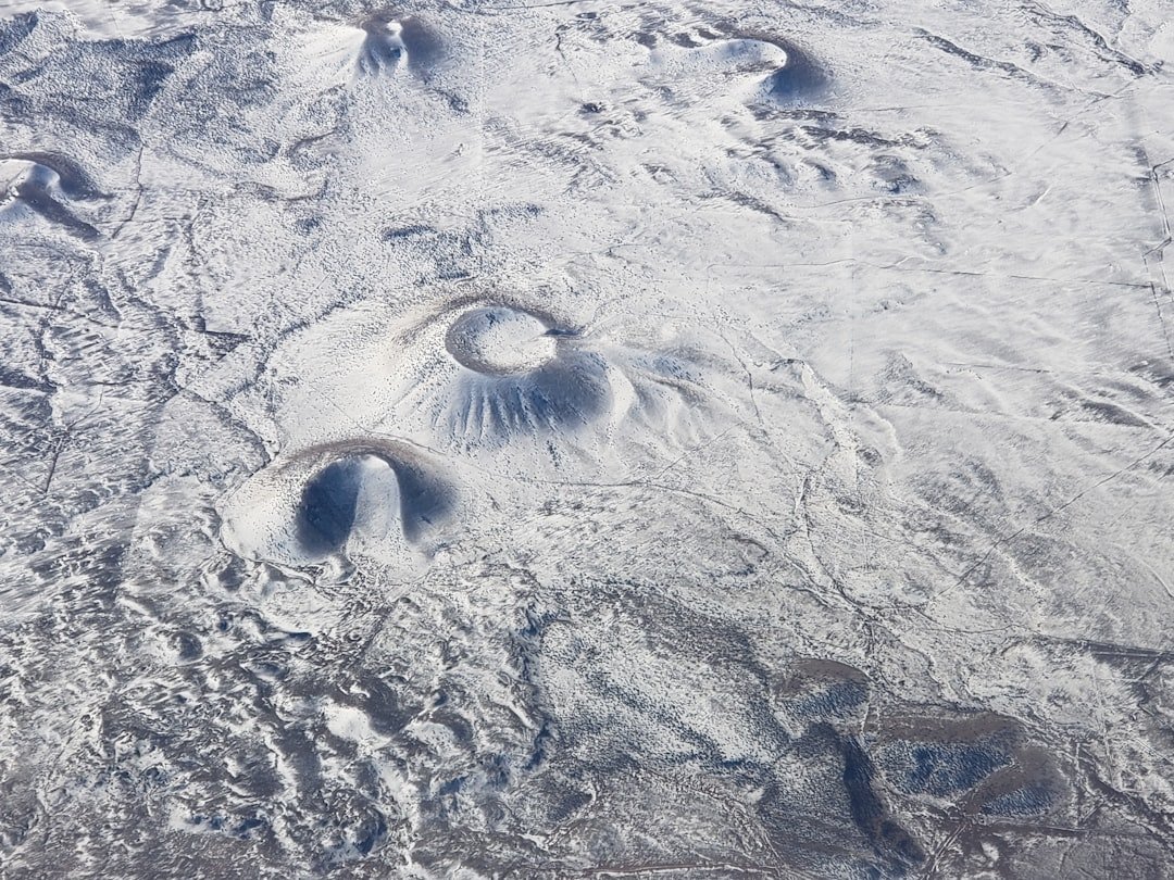
Evidence for Antarctic volcanism rarely arrives as ash on the wind; it shows up as faint tremors, subtle bulges, and ghostly radar reflections. Seismometers catch deep, long-period earthquakes that behave like a slow heartbeat, the kind usually tied to moving magma rather than brittle rock fracture. Ice-penetrating radar reveals thin, dark layers – buried ash bands – sandwiched inside the ice, like timestamps from eruptions no one witnessed. Satellite altimeters then record patches where the surface rises or sinks by mere inches over months, a sign that subglacial lakes are filling or draining as heat melts ice below. In a place where winter night lasts for months, these are the signals that let scientists “see” through darkness and miles of ice. They add up to a record that’s quiet but surprisingly persuasive.
From Ancient Tools to Modern Science
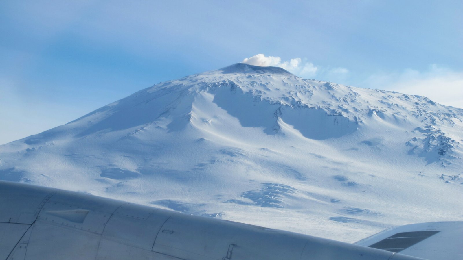
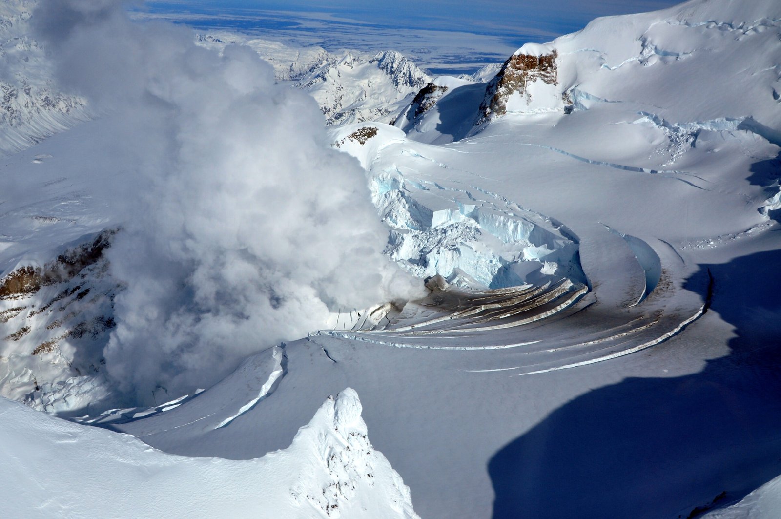
Antarctic discovery has always been a tech story, from theodolites and dog teams to aircraft, drones, and space-borne lasers. Early explorers mapped volcanoes that pierced the ice – icons like Mount Erebus – while everything else remained rumor and blank space on the chart. Today, aeromagnetic surveys trace buried cones and dikes by how they disturb Earth’s magnetic field, while gravity instruments weigh subtle mass differences to sketch hidden bedrock. Radar flown on aircraft paints cross-sections of ice and ash, letting researchers date past eruptions the way tree rings date droughts. Combined with GPS, scientists watch ice move faster or slower where geothermal heat is strongest, converting movement into a map of heat flow beneath the sheet. What began as scattered hints now feels like a coherent, expanding atlas.
Beneath West Antarctica’s Thin Ice Roof
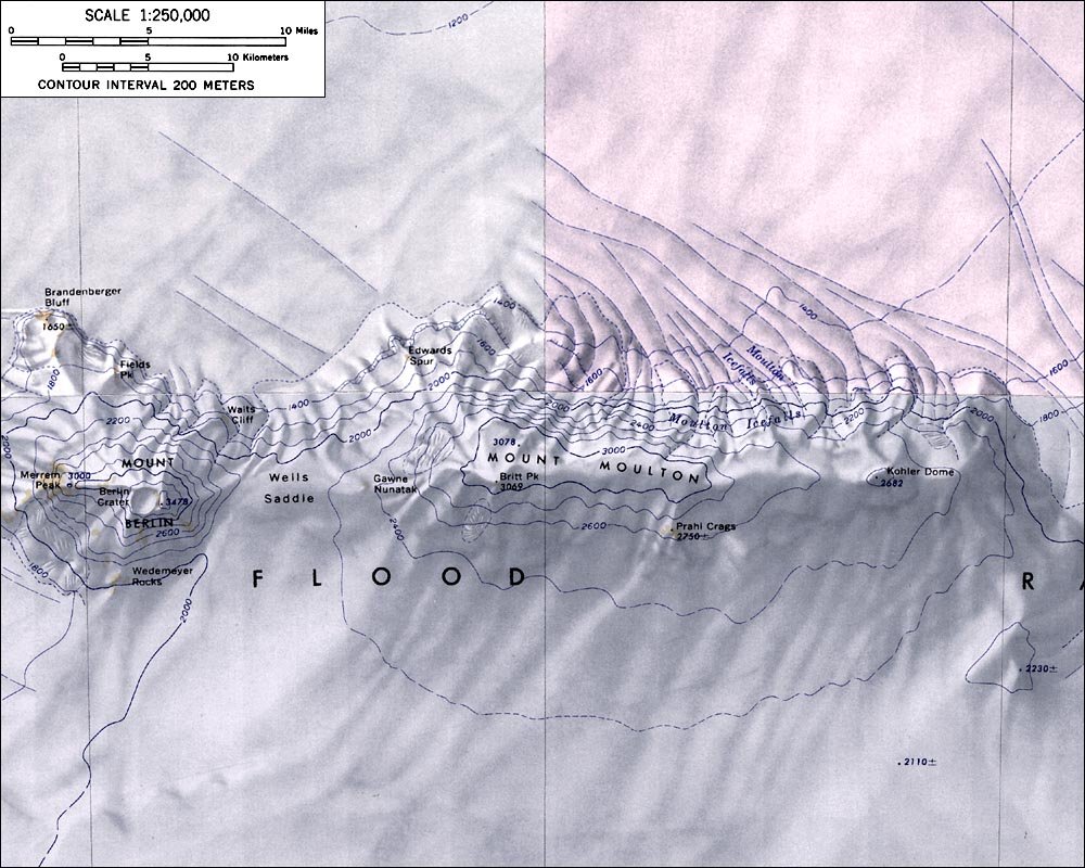
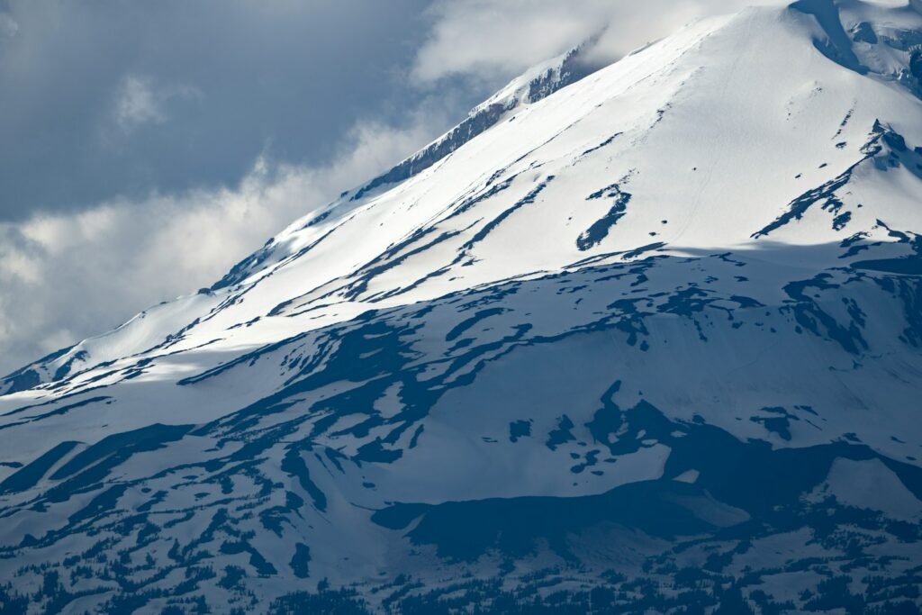
West Antarctica is the continent’s restless side, a rifted province where the crust is thinner and heat leaks upward more readily. Surveys have identified more than 130 volcanic edifices buried there, a chain that rivals the best-known arcs on the planet but wears an ice mask year-round. Not all are active, and most will never produce eruptions that break the surface, yet their collective heat matters where the ice sits close to its melting point. Basal meltwater acts like oil on a hinge, reducing friction and helping fast glaciers slip seaward. Recent mapping highlights pockets of especially high geothermal flux near major outlet glaciers, the same corridors now losing mass quickly to warm ocean currents. In a feedback-prone system, even a little extra heat can tip local conditions from locked to sliding.
Fire, Water, and Fast Ice
Volcanoes influence ice not by drama but by plumbing, carving pathways that water eagerly follows. Meltwater produced at the bed pools into lakes, then surges through channels that can switch on and off like a capricious city grid, briefly accelerating ice above. Ash hidden within the ice can darken the surface when it emerges, soaking up more sunlight and boosting melt during summer’s low sun. In places like the Hudson Mountains, radar has captured ash layers from subglacial eruptions roughly a couple of millennia ago, proof that fire and ice have shared this stage for a long time. None of this says volcanoes are the main driver of current Antarctic change; the dominant force remains ocean and atmosphere warming. But it does mean volcanoes may set the stage locally for how quickly ice responds.
The Human Story on the Harshest Frontier
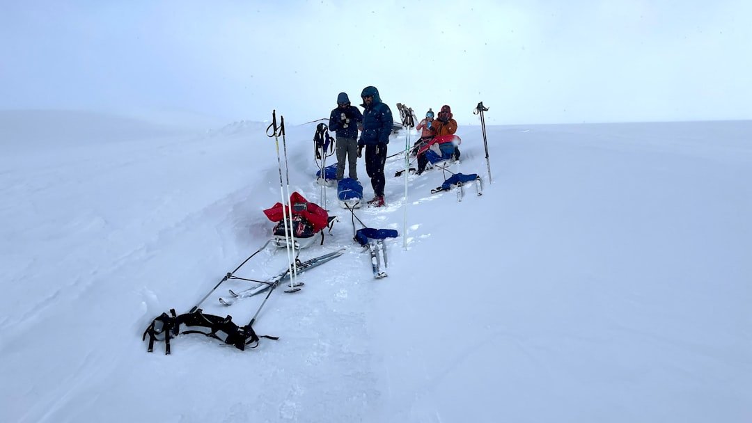
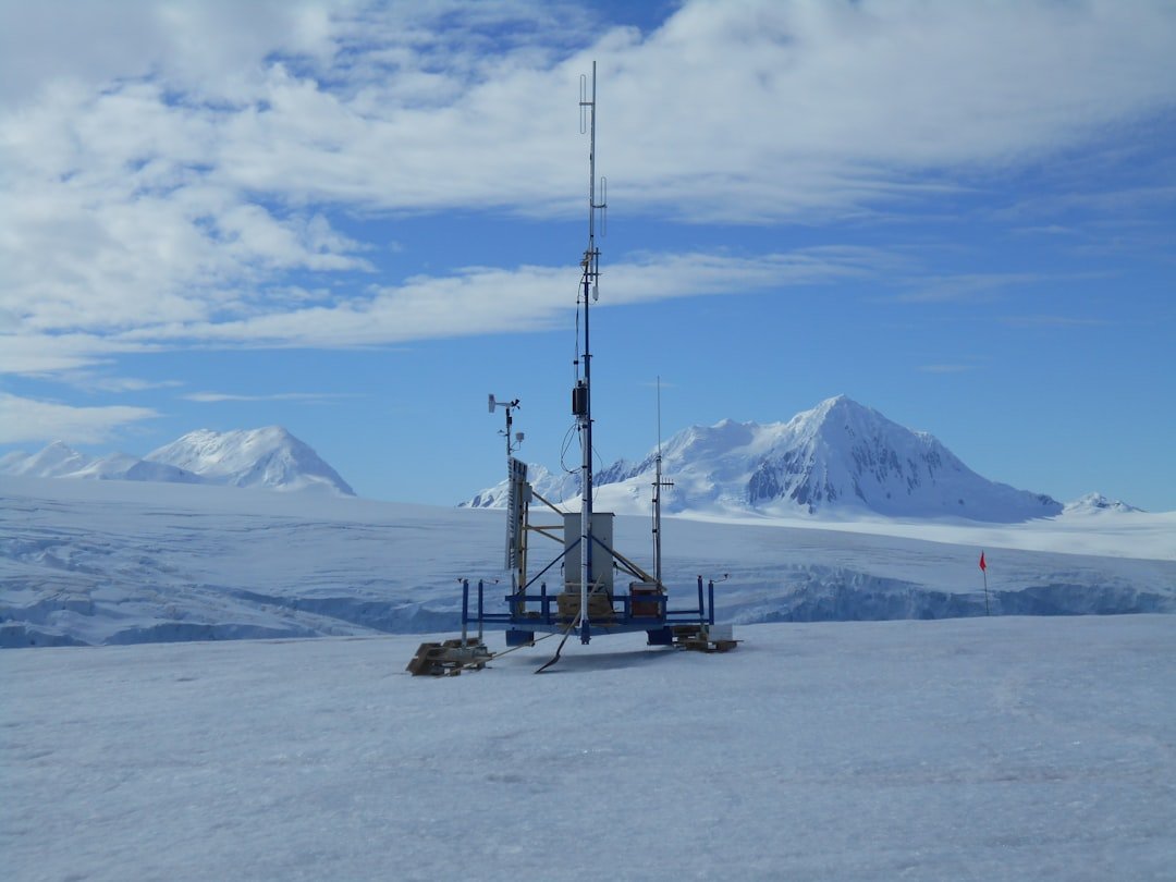
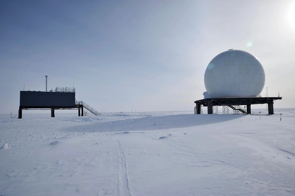
Field science here is equal parts patience and improvisation, with instruments that must survive katabatic winds and fine snow that behaves like sand. Teams scatter autonomous seismometers across white emptiness, then wait an entire season to retrieve the whispers they recorded beneath the noise of creaking ice. Pilots thread narrow weather windows to drop radar gear on ridgelines that never see the sun for months, while engineers turn tents into labs where batteries must be coaxed to life. I once poured boiling water over an ice block while camping in the Rockies, watching it carve tunnels faster than I expected, and I think of that every time I read a new paper about basal melt. On Antarctica’s scale, the same physics applies – heat finds the weak points and writes its story in water. The people who read that story do it one careful measurement at a time.
Why It Matters
The stakes are simple: the way ice moves at the bed helps decide how much, how fast, and from where Antarctica contributes to sea level. For years, models treated the bed as cold or uniformly slippery, but volcanoes make it patchy – warm spots next to cold ones, water networks that switch behavior without warning. That patchwork can amplify or dampen the response to climate forcing, making projections more honest only when it’s included. There’s another angle too: hazards to research stations and ships near volcanic islands like Deception, where eruptive unrest under the ice or shallow water can disrupt logistics. For global climate context, volcanic heat is a local accelerator rather than a global driver, yet leaving it out of risk assessments is like ignoring potholes on a highway forecast. The bottom line is not to assign blame to volcanoes, but to integrate their fingerprints into the full picture.
Global Perspectives
Antarctica isn’t alone in this fire-and-ice duet, and those comparisons sharpen our understanding. Iceland’s subglacial volcanoes have triggered sudden floods that rip valleys clean, a reminder of how water stored by heat can be released in a rush. Greenland’s ice sheet also sits over patchy geothermal heat, and regions with more warmth often show faster sliding or unusual lake behavior. Even Mars carries scars of volcano-ice interactions, where melting and refreezing likely built layered terrains that echo polar processes on Earth. These analogs build confidence in the physics we apply to Antarctica, while warning us not to assume every region behaves the same way. Local geology still rules, but the playbook travels well.
The Future Landscape
The next wave of insight will come from denser sensor networks, smarter algorithms, and radar that can fly lower, longer, and safer. Distributed acoustic sensing – using fiber-optic cables as giant ears – could eavesdrop on deep tremor without leaving heavy gear on the ice, and machine learning now sifts weak volcanic signals from storms and crevasses. New satellite constellations will tighten the cadence of surface-height maps, catching the rise and fall of subglacial lakes almost as they happen. Autonomous aircraft and snow rovers can run repeat radar transects to track how ash layers and basal water evolve over seasons. Coupled models that blend ice physics, hydrology, and geothermal heat will let scientists test scenarios where a small thermal nudge sets off outsized sliding. The prize is faster, more reliable forecasts for regions that matter most to sea level.
Conclusion
Support the teams who do this work by backing open polar data, field logistics, and long-term monitoring that doesn’t fit into a single grant cycle. Pay attention to how new Antarctic studies treat the bed, and ask whether geothermal heat and subglacial water are included rather than assumed away. Encourage responsible tourism and station planning near volcanic islands, where real-time monitoring and evacuation drills should be as routine as weather briefings. Advocate for science education that explains why a degree of heat at the base can matter as much as a degree of air temperature at the surface. Finally, remember that climate remains the steering wheel even when volcanoes press the accelerator, so cutting emissions is still the most effective lever we hold.

Suhail Ahmed is a passionate digital professional and nature enthusiast with over 8 years of experience in content strategy, SEO, web development, and digital operations. Alongside his freelance journey, Suhail actively contributes to nature and wildlife platforms like Discover Wildlife, where he channels his curiosity for the planet into engaging, educational storytelling.
With a strong background in managing digital ecosystems — from ecommerce stores and WordPress websites to social media and automation — Suhail merges technical precision with creative insight. His content reflects a rare balance: SEO-friendly yet deeply human, data-informed yet emotionally resonant.
Driven by a love for discovery and storytelling, Suhail believes in using digital platforms to amplify causes that matter — especially those protecting Earth’s biodiversity and inspiring sustainable living. Whether he’s managing online projects or crafting wildlife content, his goal remains the same: to inform, inspire, and leave a positive digital footprint.