Northern California – A winter storm watch covers much of the region, threatening several feet of snow and major travel headaches during the Presidents’ Day weekend rush to ski areas.
Forecasters Warn of Severe Travel Disruptions
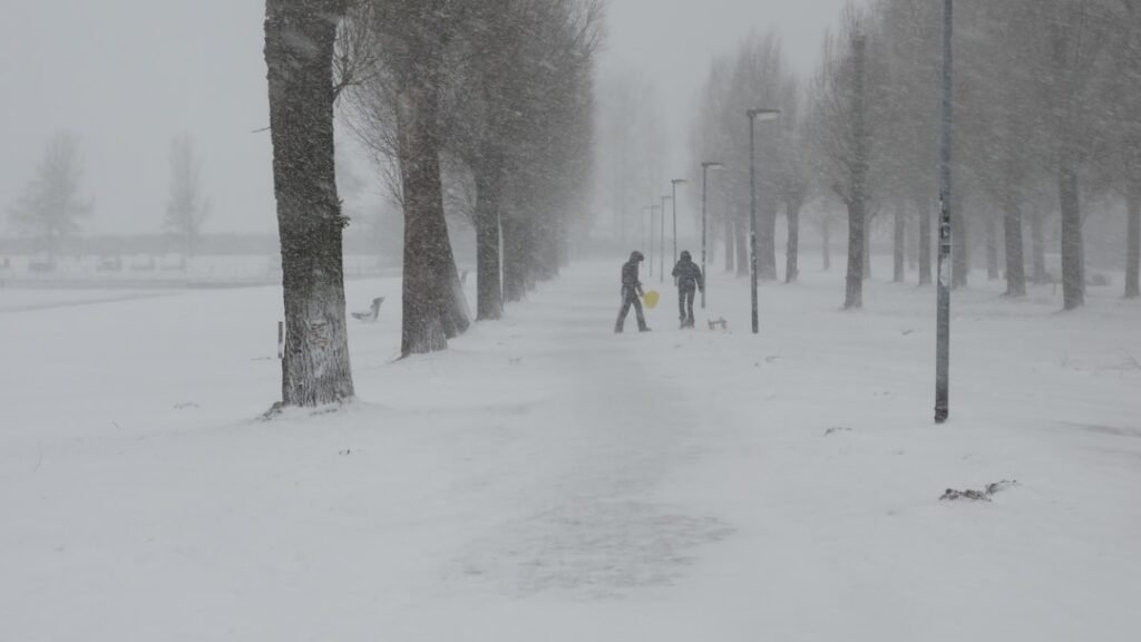
The National Weather Service issued alerts for travelers heading to and from the Sierra Nevada’s popular ski resorts. Officials described the situation as involving “major travel impacts” and urged drivers to exercise “extreme caution.”[1]
Communities prepared for the onslaught after a relatively quiet Saturday. Earlier snow earlier in the week had dissipated, leaving roads clear for now. The storm system approached steadily, setting the stage for rapid changes.
Prime Travel Window Closes Soon
Dakari Anderson, a meteorologist with the National Weather Service’s Sacramento office, highlighted Saturday through Sunday morning as the “best travel window” before the cold front arrived. He noted conditions stayed calm on Saturday but expected intensification Sunday afternoon.[1]
Travelers heeded the advice to reach destinations promptly. The timing coincided with peak holiday movement, amplifying risks for late arrivals. Proactive planning emerged as key to avoiding stranding.
Elevation Drives Snowfall Intensity
Forecasts predicted 1 to 2 feet of snow blanketing areas at 3,000 to 4,000 feet elevation. Higher spots faced far greater totals, potentially 6 to 8 feet. Anderson pointed out that populated communities would see substantial accumulations alongside remote zones.[1]
Blue Canyon exemplified the extremes. This unincorporated area at 4,695 feet elevation, located 51 miles west of Lake Tahoe, braced for heavy dumping. The projections underscored varied impacts across the terrain.[1]
- 3,000–4,000 feet: 1–2 feet of snow
- Higher elevations: Up to 6–8 feet
- Populated and remote areas alike affected
- Blue Canyon at risk for extreme totals
Local Authorities Rally Residents
The City of South Lake Tahoe warned drivers against Monday travel, citing “delays, possible road closures, and whiteout conditions.” Officials posted the advisory on Facebook to reach a wide audience.
Shasta County Sheriff’s Office echoed the call to action. They encouraged using Saturday’s clear skies for preparations. “It has seemed ‘spring-like’ for a large part of 2026, but winter is set to show it’s not quite done yet,” the office stated on social media.[1]
The multi-day event extended beyond California borders. Portions of western Nevada and southern Oregon fell under similar threats. Regional coordination proved essential.
Key Takeaways
- Travel Sierra Nevada passes with extreme caution; major disruptions forecast.
- Act Saturday–Sunday morning to beat the snow.
- Stock up now – elevations above 3,000 feet face feet-deep accumulations.
Winter delivered a stark reminder amid an unusually mild year. Residents and visitors pondered their next moves as flurries loomed. What preparations are you making for the storm? Share in the comments.