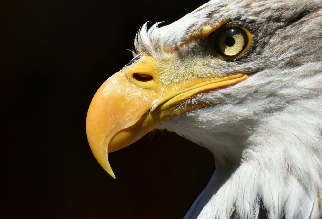
Imagine a world where the silent disappearance of endangered animals would go unnoticed—where the last songbird in a forest, the final snow leopard in the mountains, or the remaining whales in the ocean could simply vanish without anyone realizing. Today, thanks to astonishing advances in technology, we no longer have to guess about these precious lives. Wildlife experts and scientists are wielding GPS, satellites, and sensors so small they weigh less than a paperclip, creating a digital lifeline for Earth’s most vulnerable creatures. The race to save endangered species has become a thrilling blend of high-tech innovation and heartfelt hope, as every blip on a digital map might mean the difference between extinction and survival.
The Urgency of Tracking Endangered Species

Endangered species face threats on every front: habitat loss, climate change, poaching, and pollution. Every minute can count when it comes to saving an animal on the brink. Traditional tracking methods, such as following footprints or setting up camera traps, are labor-intensive and often miss critical moments in an animal’s life. By the time scientists notice a decline or disappearance, it’s sometimes too late. Real-time tracking changes this narrative entirely, offering a lifeline for both animals and conservationists. With precise data, teams can intervene quickly, whether it’s to stop poachers, provide medical help, or protect vital habitats from destruction.
How GPS Collars Changed the Game
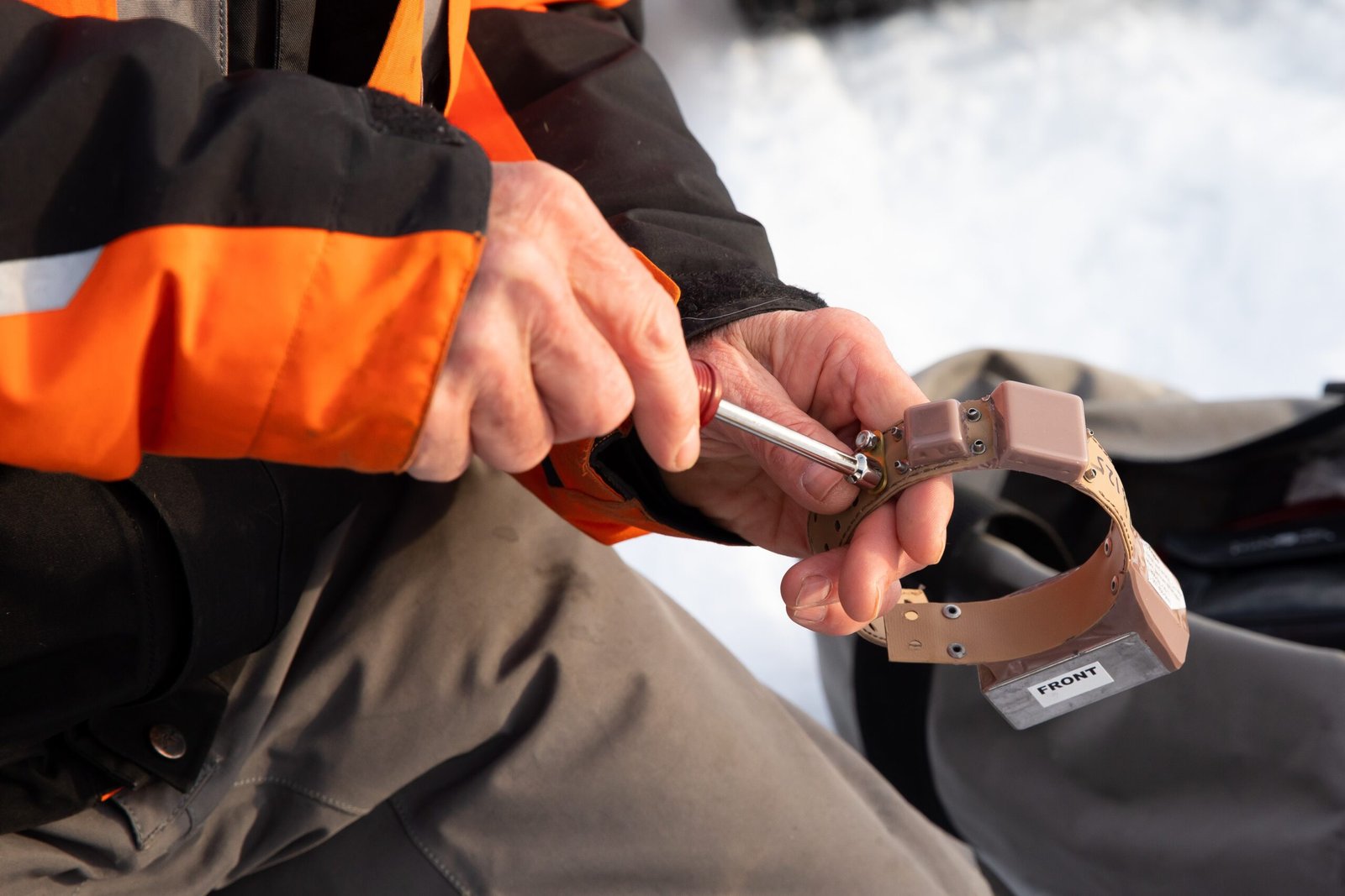
The introduction of GPS collars was nothing short of revolutionary for wildlife conservation. Small, lightweight, and durable, these collars can be fitted onto animals as varied as elephants, wolves, and even sea turtles. Each collar transmits the animal’s exact location at regular intervals. This data is then sent to researchers, who can watch migration routes, feeding habits, and territory changes from afar. For example, when elephants in Africa suddenly change direction, it might signal poachers in the area, prompting rangers to rush in. The real power of GPS collars lies in their ability to turn animals into storytellers—each movement a clue to survival.
Satellites Watching From Above
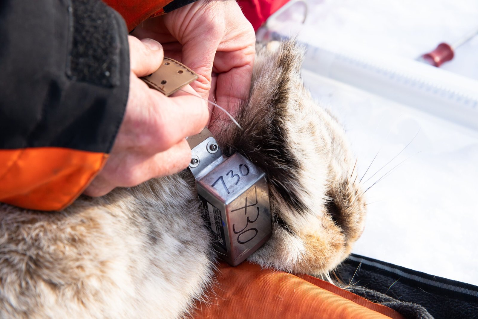
Orbiting far above the Earth, satellites provide the ultimate vantage point for tracking endangered species. These high-tech eyes in the sky can cover vast distances, making it possible to follow animals across continents and oceans. Satellite tags attached to whales and large birds transmit signals that bounce to satellites, which then relay the information back to researchers. This technology has revealed astonishing journeys, such as the Arctic tern’s epic migration from pole to pole. Satellites also help monitor habitats, track deforestation, and spot illegal activities that threaten wildlife. The combination of animal-mounted tags and satellite imagery lets conservationists see the big picture as never before.
Tiny Sensors, Big Impact
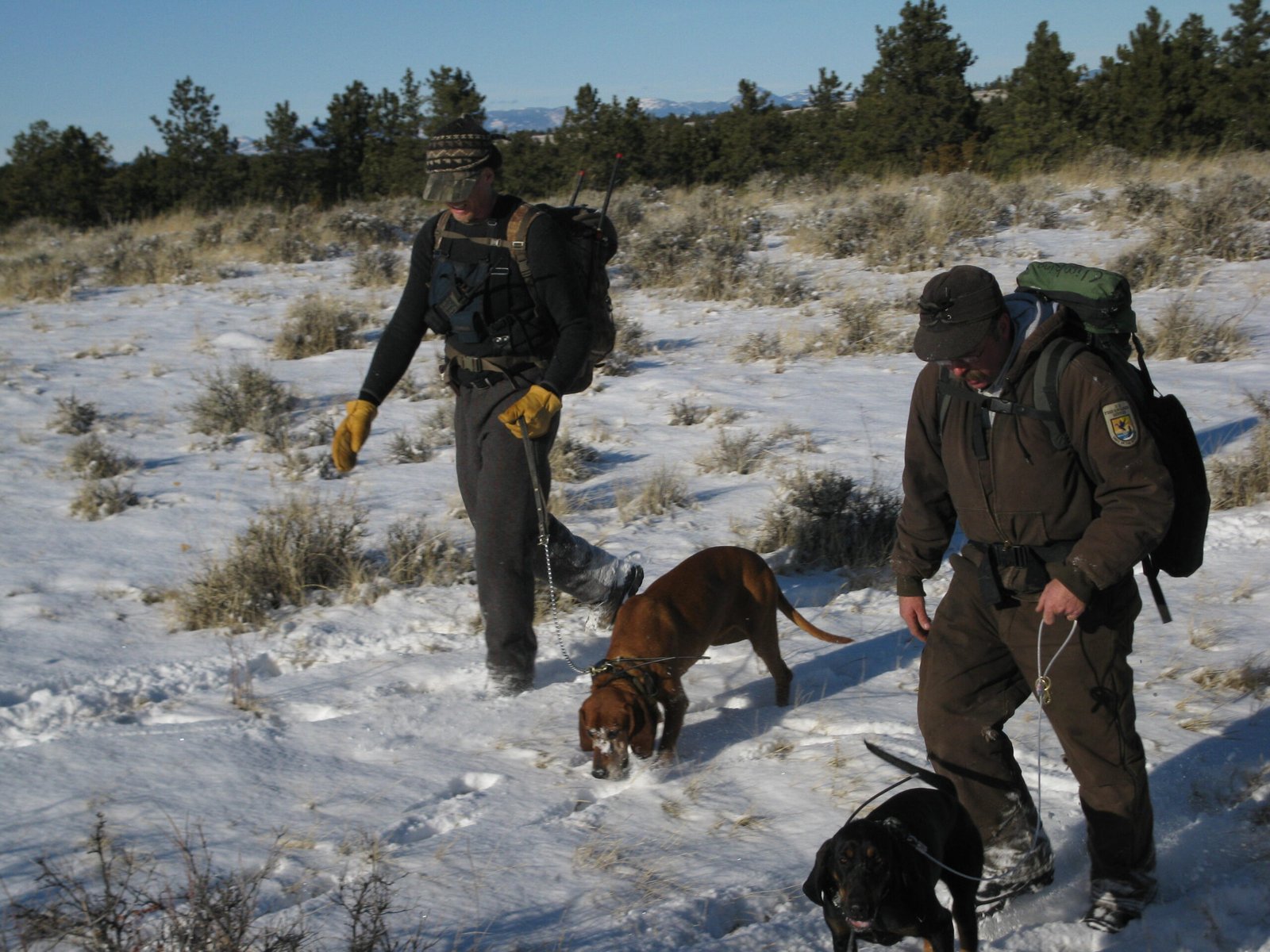
Not all endangered creatures are large enough for bulky devices. That’s where tiny sensors—some as small as a grain of rice—come in. These miniature marvels can be attached to small birds, bats, frogs, and even insects. Despite their size, they gather detailed information: body temperature, heart rate, altitude, and even sound. For instance, bioacoustic sensors have been used to listen for rare frogs in remote rainforests, picking up their calls where human ears would fail. By capturing such intimate details, scientists can better understand animal health, breeding, and behavior, crafting more effective plans to keep populations alive.
Understanding Migration and Movement
Migration is one of nature’s most impressive phenomena, but it’s also one of the hardest to study. With GPS and satellite tracking, scientists can finally unravel the mysteries behind these epic journeys. For example, the critically endangered saiga antelope travels hundreds of miles across Central Asia’s steppes. Tracking collars reveal the exact routes and stopover points, allowing conservationists to safeguard critical corridors. Similar studies have exposed new threats, such as highways splitting up animal populations or new obstacles caused by climate change. By following these digital breadcrumbs, researchers can identify and protect the lifelines endangered species depend on.
Spotting Danger in Real Time
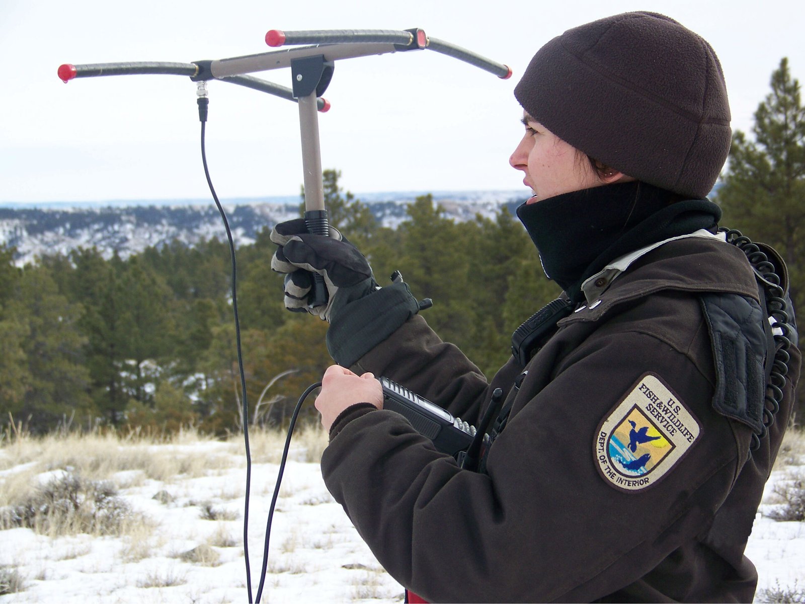
Perhaps the most dramatic benefit of modern tracking is the ability to respond instantly to danger. If a tagged animal suddenly stops moving, it could signal injury, illness, or even poaching. Rangers can then rush to the scene, sometimes arriving in time to rescue the animal or catch criminals red-handed. In some projects, alert systems are connected directly to smartphones, ensuring no time is lost. This proactive approach has turned the tide in places where poaching was once rampant, giving endangered animals a real fighting chance. The immediacy of these alerts can mean the difference between life and death.
Unlocking Hidden Habitats
Many endangered species live in remote or inaccessible places, making them difficult to study. GPS and sensor technologies have helped scientists uncover hidden breeding grounds, feeding sites, and migration stopovers. In Madagascar, for example, tracking lemurs led to the discovery of previously unknown forest patches crucial to their survival. In the oceans, satellite tags have pinpointed secret nesting beaches for sea turtles. Each new discovery helps conservationists focus their efforts on the most important areas, often leading to the creation of new protected zones. These technological breakthroughs are helping to redraw the conservation map.
Community Involvement Through Technology
Tracking technology isn’t just for scientists—it’s drawing in local communities and citizen scientists too. In many countries, villagers are trained to help fit collars and interpret data, empowering them to protect wildlife living alongside them. Apps and online maps allow anyone to follow the journeys of tracked animals, sparking curiosity and a sense of shared responsibility. Schoolchildren in urban centers can watch the travels of an elephant or penguin in real time, building empathy and excitement for conservation. This connection between people and wildlife is a powerful force for change.
Challenges and Ethical Questions

While technology offers incredible promise, it also raises important questions. Fitting an animal with a collar or sensor must be done carefully to avoid causing harm or stress. Scientists are constantly refining designs to make devices lighter, safer, and less intrusive. There’s also the risk of data falling into the wrong hands, such as poachers hacking GPS signals. Balancing the need for information with the well-being of animals is an ongoing challenge. These concerns push researchers to innovate responsibly, ensuring that the pursuit of knowledge never comes at the expense of those they seek to protect.
The Future: Smarter Sensors and Artificial Intelligence
As technology races ahead, the future of wildlife tracking is even more exciting. New sensors harvest energy from animal movement or sunlight, so batteries last longer. Artificial intelligence is being used to spot patterns in data, predicting threats before they happen. Drones are joining the search, scanning forests and savannas for animals too small or shy for tags. Soon, entire ecosystems could be linked in a web of sensors, each species sharing its story in real time. The possibilities seem endless, offering hope that no endangered animal will ever again slip away unnoticed.
Why Every Data Point Matters
Each blip on the map, every heartbeat captured by a sensor, represents not just a single animal, but a story of survival, struggle, and hope. Scientists around the world sift through mountains of data, searching for clues that could mean the difference between extinction and recovery. The more we know, the better prepared we are to act—whether it’s moving a herd to safer ground, protecting a crucial waterhole, or shutting down an illegal trade route. These details build the case for conservation, turning numbers and coordinates into urgent action.
A Call to Protect Our Planet’s Most Vulnerable

The fusion of GPS, satellites, and tiny sensors has reshaped our fight to save endangered species. With each technological leap, our ability to understand and protect nature grows stronger. Yet, the responsibility doesn’t rest solely on scientists and rangers—it belongs to all of us who care about the future of life on Earth. Every animal tracked, every habitat mapped, brings us closer to a world where extinction is not inevitable. Will we rise to the challenge and harness these tools to secure a future for the wild wonders we still have?


