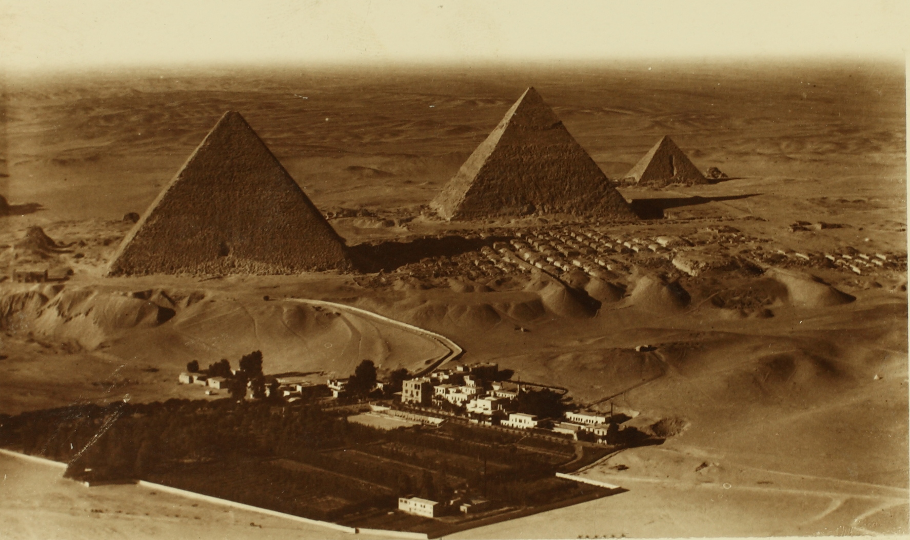
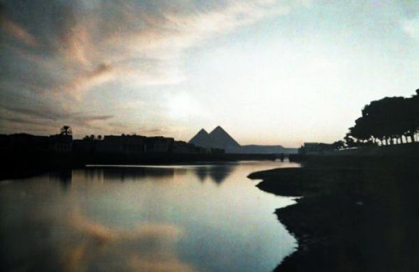
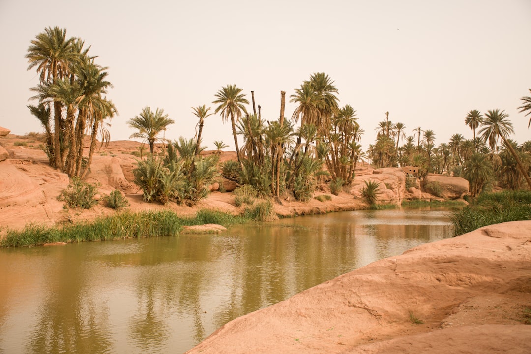
For centuries, the pyramids seemed to rise inexplicably from a sea of sand, lonely monuments stranded far from the Nile’s modern banks. Now a buried waterway is rewriting that picture, pulling a hidden river back into the story of how Egypt’s stone giants were born. Using radar from space, boots-on-the-ground surveys, and cores of ancient silt, researchers have mapped an extinct branch of the Nile that once lapped at the edges of pyramid causeways. The discovery doesn’t just solve a logistical riddle; it reframes an entire landscape as a working waterfront. And it nudges us to ask what else the desert still hides beneath its shifting skin.
The Hidden Clues
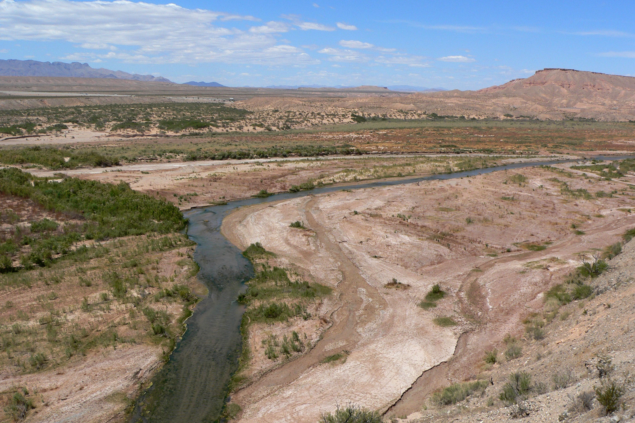
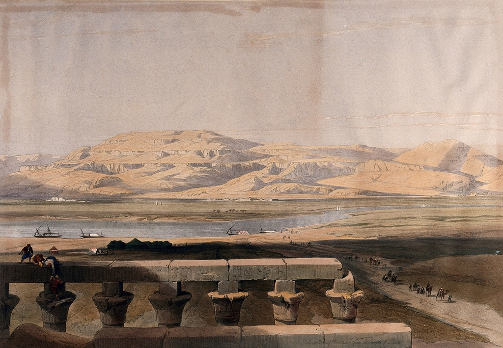
What if the pyramids were never meant to be desert beacons, but riverfront landmarks on a bustling water highway? That’s the startling picture emerging from a newly mapped paleochannel – dubbed the Ahramat Branch – that tracked along the Memphis necropolis where dozens of pyramids cluster. The line of monuments suddenly makes geographic sense when you restore a river that once lay at their feet, a lifeline for hauling stone and people alike. I remember my first step onto the Giza Plateau, the wind lifting sand like mist; it’s easy to forget that water, not wind, once sculpted this horizon.
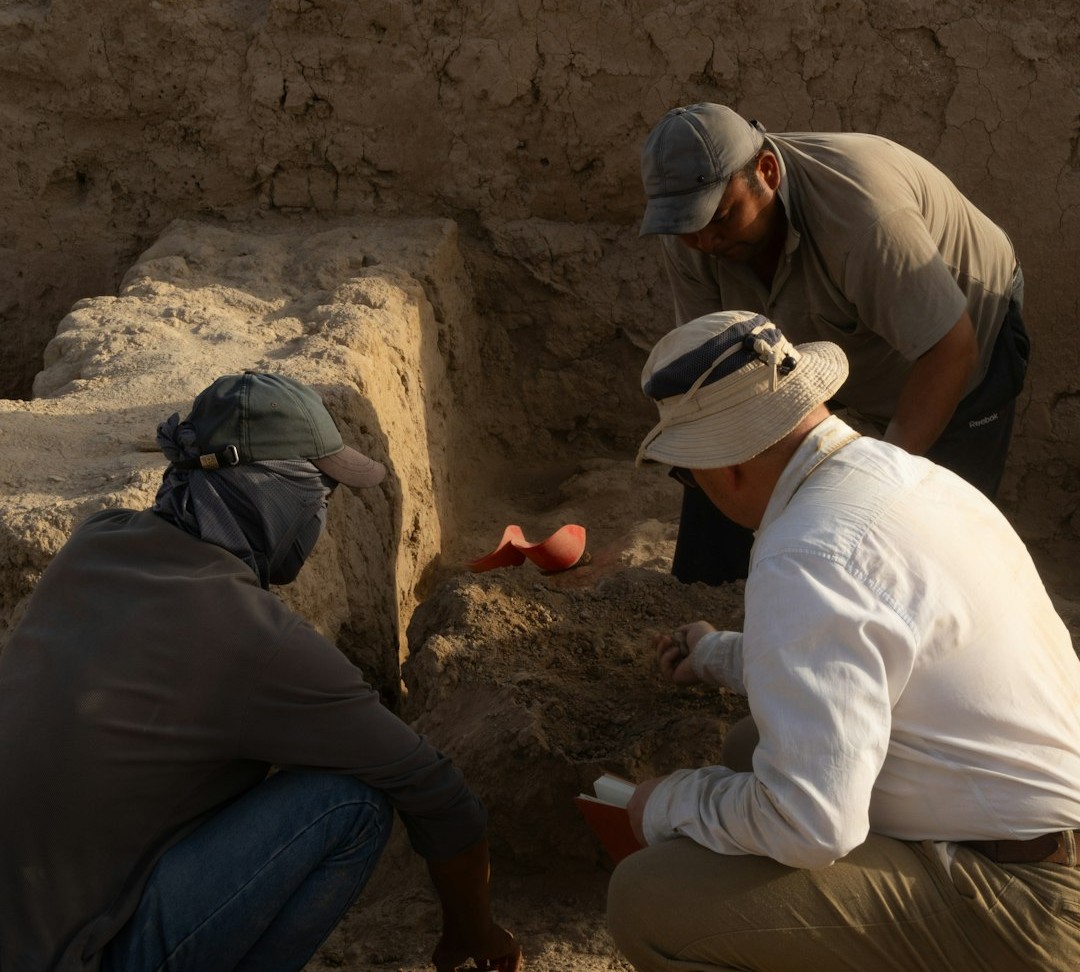
Remote-sensing specialists stitched together radar images that can peer through dry sand, revealing the ghostly path of the channel. Ground surveys and sediment cores then confirmed river-deposited layers hiding under fields and dunes. Together, those lines of evidence transform a hunch into a defensible map of a lost waterway.
From Ancient Tools to Modern Science
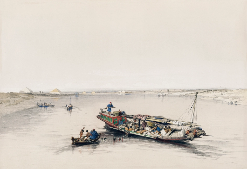
Egyptology has wrestled for generations with how heavy stone moved from quarry to pyramid ramp. Boats on the Nile were always part of the story, but the river’s present course sits painfully far west of many pyramid sites, feeding doubts and alternative theories. The Ahramat Branch changes the geometry; with water at the doorstep, transport becomes practical rather than miraculous. It’s a reminder that landscapes evolve and that today’s map can be a poor guide to yesterday’s logistics.
The team’s toolbox blended satellite radar, geophysical profiling, and deep soil coring – methods that complement each other like layers in a painting. Radar traced buried channels; geophysics sketched their subsurface shape; cores pulled up the gritty proof: ancient river silts and sands. This triangulation is what makes the case durable, and it’s the kind of cross-checking modern archaeology increasingly demands.
Mapping a Phantom River
The reconstructed branch runs for roughly forty miles – about sixty-four kilometers – between Lisht in the south and the Giza Plateau in the north, threading past the foothills where royal tombs rise. Along that reach sit about thirty-one pyramids spanning Old and Middle Kingdom horizons, an alignment that reads less like coincidence and more like intent. Width estimates suggest a substantial waterway, with stretches comparable to the present Nile, not a mere seasonal creek. In other words, this was a navigable artery, not a trickle.
Researchers also detected places where the branch likely widened into inlets, a natural fit for quays and river temples that anchored processional causeways. Those valley temples – surviving at a handful of sites – line up precisely with the ancient banks, strengthening the case that the channel served both sacred and practical roles. The blend of symbolic staging and hard-nosed logistics fits Egypt’s genius for turning infrastructure into ritual theater.
Pyramids on the Waterfront
Seen through this lens, the pyramid field becomes a chain of river ports stitched together by causeways. Granite from far-off Aswan could have arrived by boat, transferred to harbors at the foot of the plateau, and hauled uphill in carefully choreographed teams. Workers, supplies, and ceremonial cargos would have flowed along the same aquatic spine, weaving commerce and cosmology into a single route. The desert façade dissolves; a waterfront emerges.
Archaeologists have long suspected a lost channel, but this study provides the first continuous map across the entire pyramid belt, bringing scattered clues into focus. It also explains why later pyramids edged slightly east: as the branch shifted and shoaled, builders followed the water. That adaptive dance between river and monument is exactly what you’d expect from a civilization that treated the Nile as both calendar and compass.
Why It Matters
This isn’t just an elegant tweak to mapmaking; it’s a correction to how we think about ancient engineering. Traditional narratives often lean on improbable manpower alone, but waterborne transport can reduce hauling friction by orders of magnitude, turning the impossible into the efficient. Reintroducing the river to the picture restores the logistical backbone that large-scale projects require. It challenges the habit of judging ancient capabilities against today’s dried-out landscape.
Scientifically, the find validates radar-based geomorphology as a powerful way to recover drowned histories in arid zones. Compared with excavation alone, these methods can survey entire regions, allocate resources intelligently, and protect sites before they’re lost to development. In practical terms, that means fewer blind trenches and more targeted archaeology – better science, less guesswork.
Rethinking Climate and Collapse
Rivers wander, and the Nile is no exception; the Ahramat Branch appears to have migrated and silted as windblown sands advanced during drier centuries. Researchers point to a severe arid pulse roughly forty-two centuries ago that likely accelerated infilling and pushed the watercourse east. As access declined, pyramid builders during the Middle Kingdom nudged their projects closer to the shifting channel, a quiet testament to climate’s long reach over human ambition. The landscape, not just court politics, set the tempo.
Those rhythms also echo in today’s debates about climate resilience. If the world’s most iconic monuments were planned around a living, moving river – and adapted as it changed – our own infrastructure planning should heed similar hydrological realities. The past here serves as both caution and guide, showing how environmental change can force design pivots even in centralized states.
The Future Landscape
The Ahramat Branch is likely the first of several paleochannels waiting to be mapped as sensors sharpen and archives of satellite data grow. Expect L-band radar, drone-based magnetometry, and machine learning to sift vast terrains for subtle signatures of buried rivers, roads, and harbors. With each success, archaeologists can prioritize digs where the payoff is highest – valley temples sunk beneath fields, forgotten quays under roads, warehouses masked by dunes. It’s a future where spreadsheets and satellites guide trowels more than hunches do.
There are challenges: urban sprawl, groundwater change, and the legal and ethical thickets of excavating near modern communities. But the momentum is real, and the Ahramat map gives agencies a defensible blueprint for conservation zones along the ancient bank. Protecting what remains will require coordination between scientists, local authorities, and the farmers who work the land that hides this history.
Global Perspectives
Egypt’s revelation resonates far beyond the Nile; similar buried waterways likely thread through other desert cradles of civilization. In Mesopotamia, North Africa, and parts of South Asia, radar and coring could reconnect ruined cities to the hydrological systems that built them. Reanimating those networks clarifies trade, migration, and ritual in ways isolated ruins never can. It’s like switching on a backlight and suddenly seeing the stitching in a tapestry.
For heritage managers, that shift encourages corridor-scale protection, not just site-by-site triage. Tourism, too, can evolve – from snapshots at isolated monuments to narratives that span an ancient shoreline, inviting visitors to walk a causeway that once led from harbor to horizon. I’m convinced that storytelling rooted in landscape will make preservation less abstract and more personal for travelers and local communities alike.
Conclusion
If this discovery stirs you, there are simple ways to help turn curiosity into care. Support organizations that fund field schools and noninvasive surveying, which train the next generation to read landscapes as deftly as texts. Advocate for data-sharing policies that let researchers pool radar, elevation models, and cores across borders, accelerating discoveries while minimizing excavation. Small donations to site-mapping and heritage documentation projects can go a long way when the work is largely analytical.
Travelers can choose tours that prioritize conservation and context – walk the old causeway lines, learn how river shifts shaped building plans, and respect the working farms that cover much of this hidden history. Educators can fold the Ahramat Branch into lessons on climate, engineering, and cultural resilience, showing students how science redraws maps and minds. The river may be buried, but the story is still flowing – will you help keep it moving?

Suhail Ahmed is a passionate digital professional and nature enthusiast with over 8 years of experience in content strategy, SEO, web development, and digital operations. Alongside his freelance journey, Suhail actively contributes to nature and wildlife platforms like Discover Wildlife, where he channels his curiosity for the planet into engaging, educational storytelling.
With a strong background in managing digital ecosystems — from ecommerce stores and WordPress websites to social media and automation — Suhail merges technical precision with creative insight. His content reflects a rare balance: SEO-friendly yet deeply human, data-informed yet emotionally resonant.
Driven by a love for discovery and storytelling, Suhail believes in using digital platforms to amplify causes that matter — especially those protecting Earth’s biodiversity and inspiring sustainable living. Whether he’s managing online projects or crafting wildlife content, his goal remains the same: to inform, inspire, and leave a positive digital footprint.