Imagine walking across the blazing sands of America’s southwestern deserts, completely unaware that beneath your feet lies evidence of a watery world that once thrived where now only sagebrush and sand remain. Yet this isn’t some fantastical tale. It’s the remarkable geological reality hidden beneath thousands of square miles of what we now call the Great Basin, Mojave Desert, and other arid regions of the American West.
The story of these vanished waters reads like an epic tale of climate, ice, and time itself. When early explorers first stumbled upon mysterious shoreline ridges carved into desert mountainsides thousands of feet above any existing water, they could hardly believe their eyes. The evidence was so overwhelming that some initially theorized the Pacific Ocean itself must have once extended deep into the continent’s heart.
When Giants Drained the Continent
Lake Missoula was a prehistoric proglacial lake in western Montana that existed periodically at the end of the last ice age between 15,000 and 13,000 years ago. The lake measured about 7,770 square kilometres (3,000 sq mi) and contained about 2,100 cubic kilometres (500 cu mi) of water, half the volume of Lake Michigan. Yet this massive body of water had a tendency to disappear overnight in the most catastrophic way imaginable.
The lake was the result of an ice dam on the Clark Fork caused by the southern encroachment of a finger of the Cordilleran ice sheet into the Idaho Panhandle (at the present-day location of Clark Fork, Idaho, at the east end of Lake Pend Oreille). The height of the ice dam typically approached 610 metres (2,000 ft), flooding the valleys of western Montana approximately 320 kilometres (200 mi) eastward.
When these ice dams inevitably failed, the results were beyond spectacular. Water from Lake Missoula burst through the base of the dam, at a rate of ten times the combined flow of all the rivers in the world! Calculated flood speeds reached almost 65 miles per hour. Think about that for a moment – water moving faster than most cars on a highway, carrying boulders the size of houses across what is now eastern Washington.
The Scablands Tell Their Story
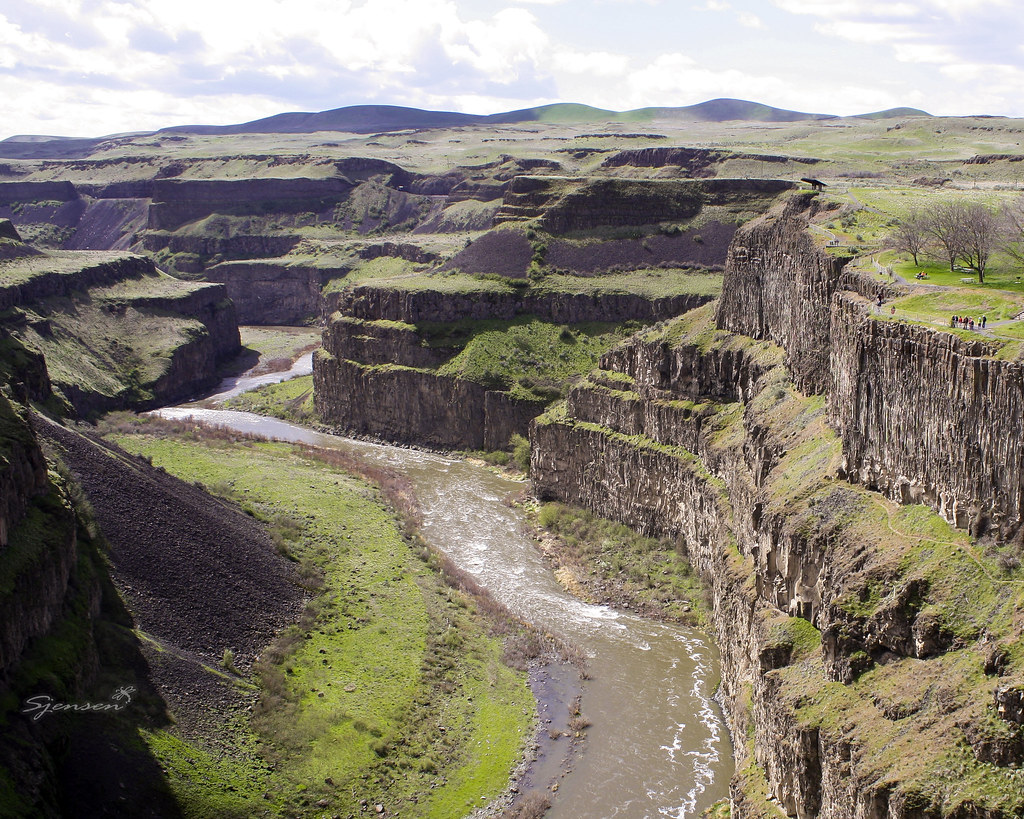
The Channeled Scabland of eastern Washington State, USA, brought megafloods to the scientific forefront. A 30,000-km2 landscape of coulees and cataracts carved into the region’s loess-covered basalt attests to overwhelming volumes of energetic water. What you see today when driving through this region is essentially a massive scar left by water – channels gouged hundreds of feet deep, waterfalls that once dwarfed Niagara, and boulder fields scattered like toys dropped by a giant child.
Bretz published a paper in 1923 arguing that the Channeled Scablands in Eastern Washington were caused by massive flooding in the distant past. Bretz’s view, which was seen as arguing for a catastrophic explanation of the geology, ran against the prevailing view of uniformitarianism, and Bretz’s views were initially disregarded. The geological establishment of the time simply couldn’t accept that such massive changes could happen so quickly.
During the last deglaciation that followed the end of the Last Glacial Maximum, geologists estimate that a cycle of flooding and reformation of the lake lasted an average of 55 years and that the floods occurred dozens of times over the 2,000 years between 15,000 and 13,000 years ago. U.S. Geological Survey hydrologist Jim O’Connor and Spain’s Museo Nacional de Ciencias Naturales scientist Gerardo Benito have found evidence of at least twenty-five massive floods.
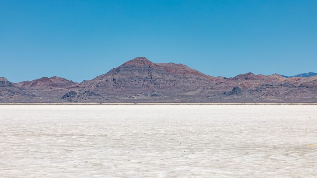
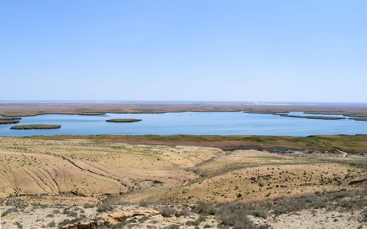
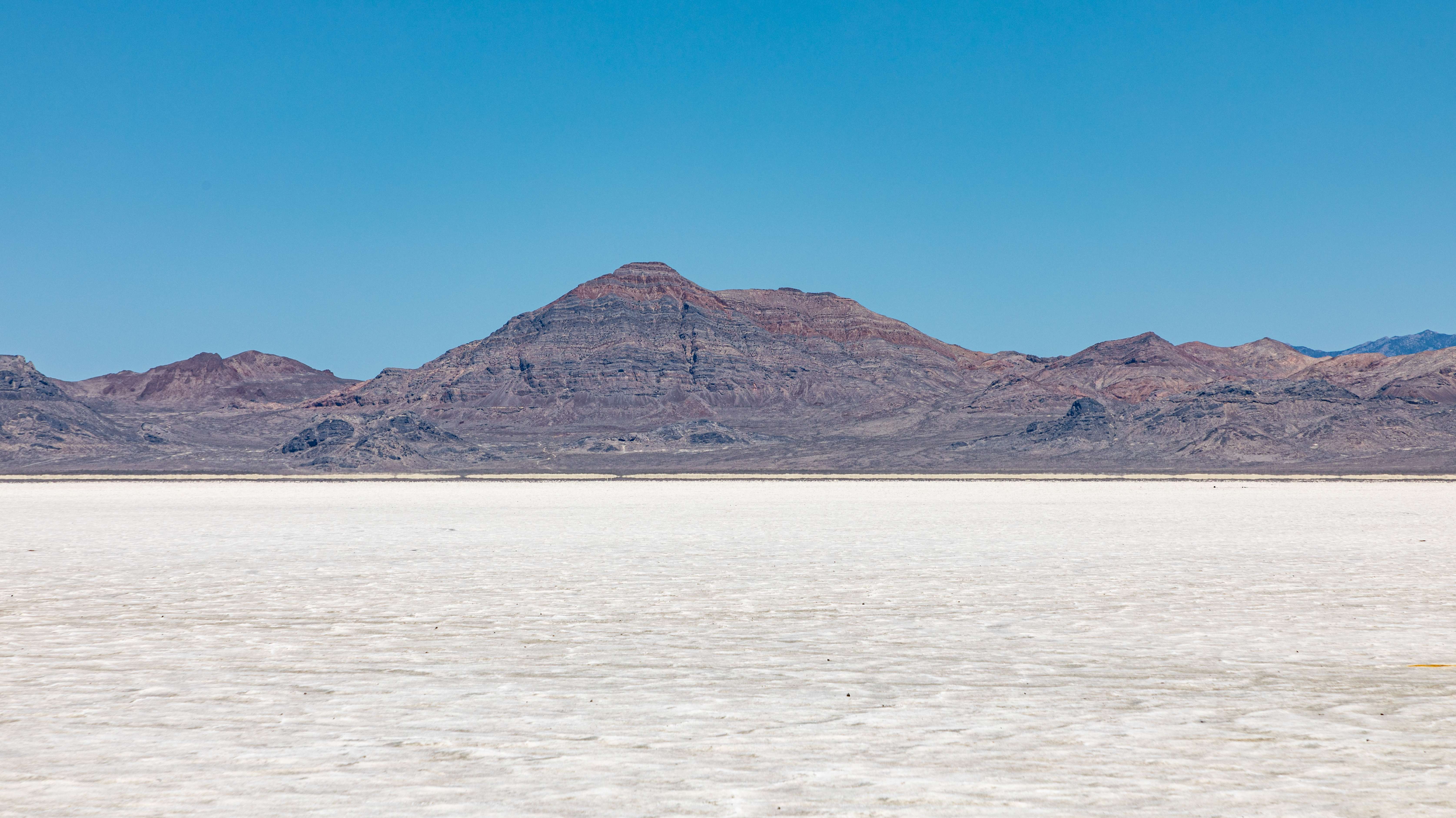
Lake Bonneville’s Ancient Shores
While Lake Missoula was busy flooding and draining in Montana, an even larger lake system dominated much of Utah, Nevada, and Idaho. Lake Bonneville was a massive, Ice Age lake that existed from about 30,000 to 13,000 years ago. It occupied a low, bowl-shaped depression in the eastern Great Basin. At its largest extent, it spanned about 20,000 square miles of western Utah and parts of eastern Nevada and southern Idaho. Lake Bonneville was about 325 miles long, 135 miles wide, and had a maximum depth of over 1,000 feet.
The lake’s irregular tendrils stretched for 150 miles east-west and 250 miles north-south; it covered modern-day Salt Lake City and reached across the Nevada and Idaho borders. “This thing used to be the size of Lake Superior,” says Jay Quade, a University of Arizona geologist who has spent much of his life exploring these deserts. “It was an inland ocean.”
The evidence of this ancient lake’s existence is carved into mountainsides throughout Utah. Gilbert spent most of the 1870s exploring the Great Basin, and his men mapped 500 miles of Bonneville’s shores using surveying telescopes. They found multiple concentric rings of shorelines up and down the mountains, formed as the lake rose and fell. These terraces, visible today to anyone driving through Utah, mark the ancient water levels like bathtub rings on a continental scale.
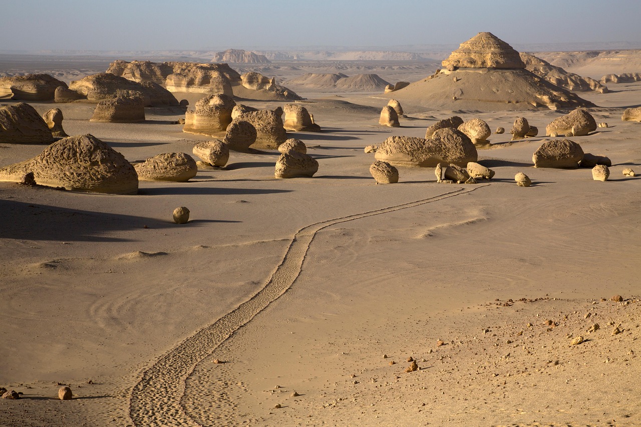
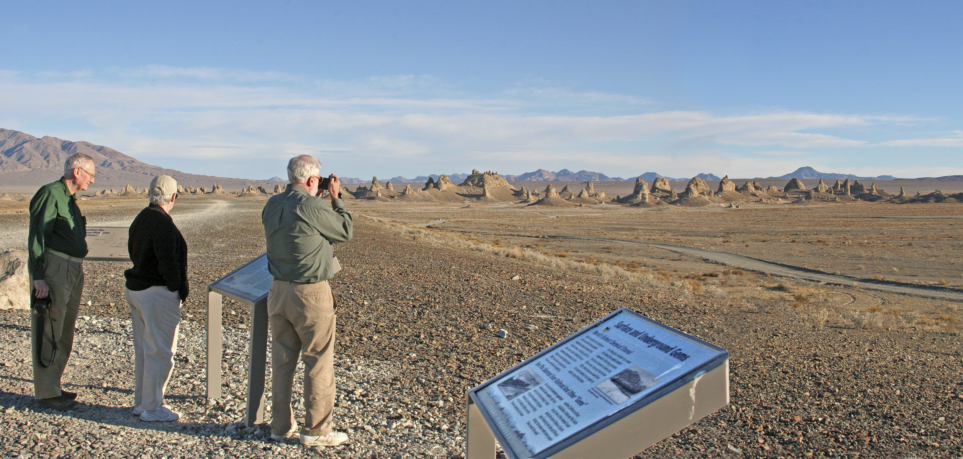
The Mojave’s Watery Past
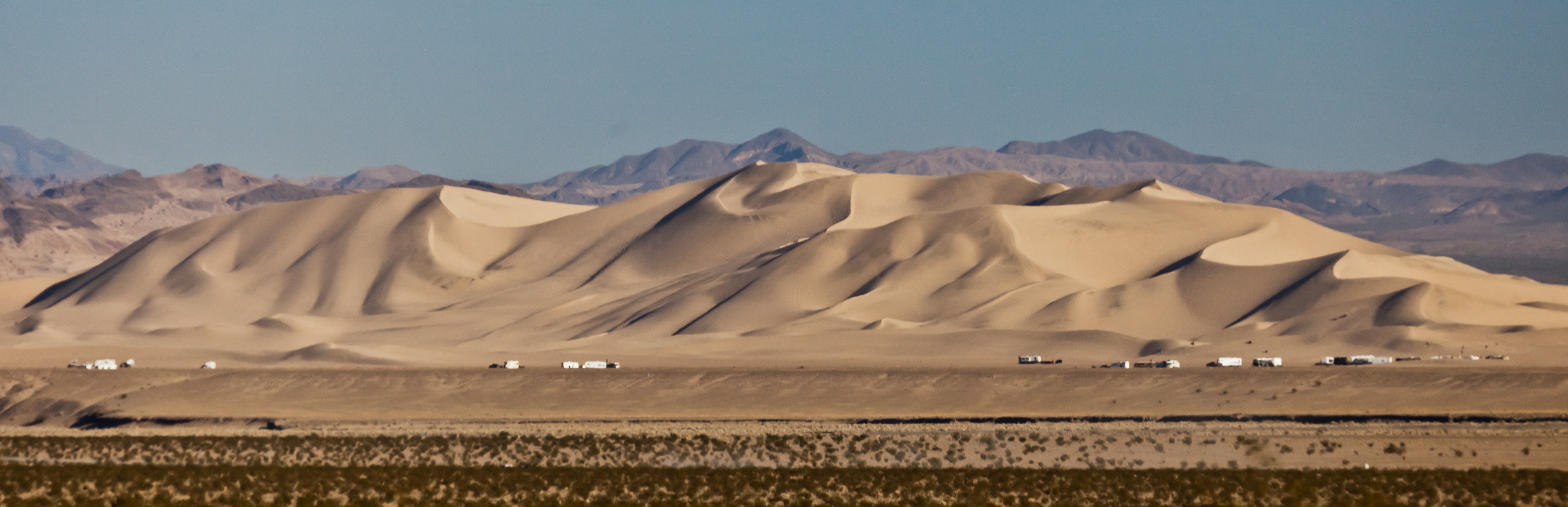
Even in what we now consider one of America’s most forbidding deserts, massive lakes once sparkled under Ice Age skies. Lake Mojave existed between 22,000 and 9,000 years before present. It is one of several pluvial lakes in the Mojave Desert, including Lake Manix and Coyote Lake, Lake Harper and Lake Ivanpah. These weren’t small desert springs – they were substantial bodies of water that supported rich ecosystems.
At its maximum stand, Lake Mojave had a surface area of 300 square kilometres (120 sq mi) and a volume of 7 cubic kilometres (1.7 cu mi). Fed by a much more robust Mojave River system, this lake created its own beaches, supported fish populations, and left behind geological evidence that scientists are still studying today.
Results of stratigraphic, chronologic, physical, chemical, and microfossil analyses of seven cores, ranging in length from 5 to 23 m, help refine the timing and character of the final stages of pluvial Lake Mojave during the late Pleistocene and define distinct periods of wetland development in the early and late Holocene. Evidence shows that an incipient lake occupied the central Soda Lake basin by at least 25.0 ka and a fully developed Lake Mojave was present between 20.5 and 12.8 ka, before receding and ultimately yielding to playa conditions by 11.0 ka.
What Made These Giants Possible
The existence of these massive lakes wasn’t random – it was tied to fundamental changes in Earth’s climate system during the Pleistocene epoch. During colder glacial periods, they found that increased precipitation and decreased evaporation combined to form large lakes that occupied the inward draining basins in the western United States, particularly in northern Nevada and Utah. Increased precipitation also drove the formation of lakes, particularly in southern Nevada and southern California during the warmer middle Pliocene, outpacing higher temperatures and evaporation rates during that time.
Surprisingly, the watershed feeding Lake Lahontan is not thought to have been significantly wetter during its highstand than it is currently. Rather, its desiccation is thought to be mostly due to increase in the evaporation rate as the climate warmed. Recent computer simulations (using the DSSAM Model and other techniques) indicate, if precipitation and evaporation rates within the watershed were maintained at their historical yearly maximum and minimum, respectively, and if diversions of the Truckee River ceased, the Ice Age extent of Lake Lahontan might return.
This finding challenges our assumptions about what creates such massive water bodies. It wasn’t necessarily that these regions received dramatically more precipitation, but that the delicate balance between precipitation and evaporation tipped in favor of water accumulation during cooler periods.
Desert Wetlands Hold Climate Secrets
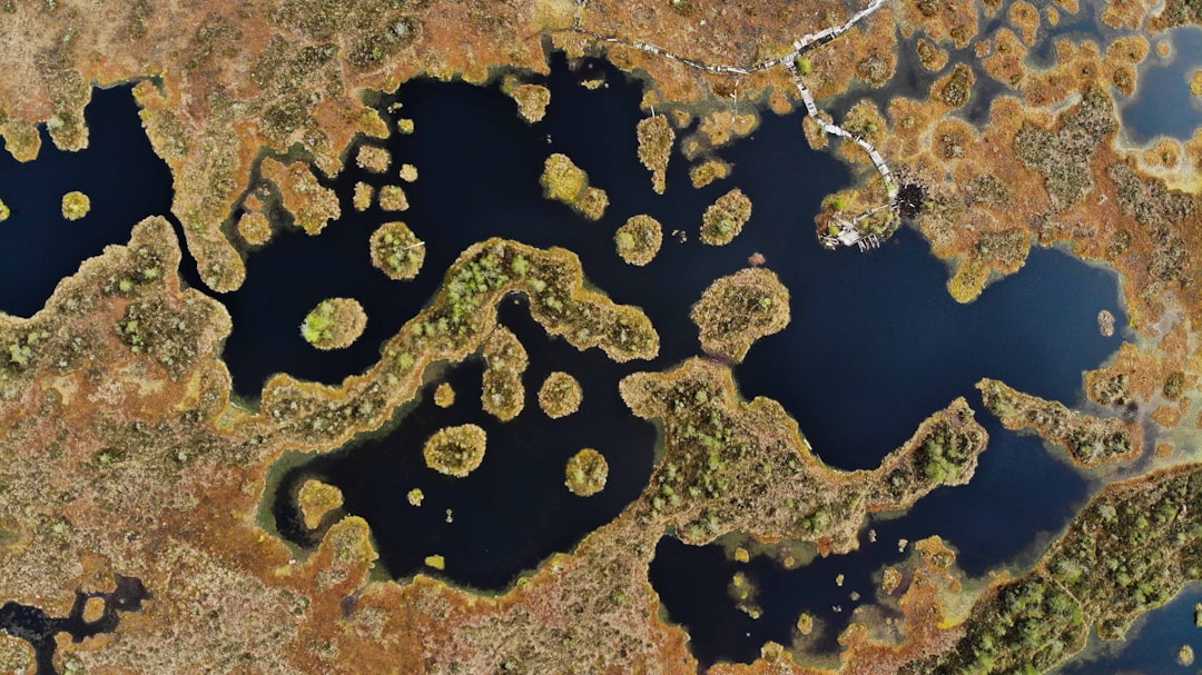
Beyond the massive lakes, countless smaller wetlands once dotted the southwestern landscape. Recent geologic mapping by the U.S. Geological Survey has identified hundreds of localities in the southern Great Basin and Mojave Deserts that exhibit evidence of ancient springs and wetlands. Dozens, if not hundreds, of additional localities are scattered throughout the Sonoran and Chihuahuan Deserts. Scientific examination of wetland sites throughout the American Southwest will reveal important information on the sensitivity of these systems to climate change.
Many of the larger wetland systems in the southern Great Basin and Mojave Deserts dried up and disappeared during the early Holocene, roughly 8,000 years ago. To understand how desert wetlands have responded to subtle changes in climate since then, we drill sediment cores near extant (or active) springs and wetlands.
Once thought to be remnants of a large lake, these deposits actually record the presence of extensive wetlands that were home to an array of Pleistocene megafauna. They also hold valuable clues to understanding how desert ecosystems responded to climate change in the past.
Reading the Rock Record
The geological evidence for these ancient lakes is remarkably well preserved, despite tens of thousands of years of wind and weather. The former existence of Pleistocene lakes can be recognized in many places by the presence of shore features. Broad areas occupied by fine-grained laminated clastic rocks of rather uniform lithology, especially where bedding surfaces are flat and individual thin units laterally extensive, have been accepted by some as evidence of lacustrine deposition.
Scientists have developed sophisticated methods for reading these ancient records. At Travertine Point, evidence of a lake going back to 13,000 ± 200 years ago has been found. According to dates obtained from tufas, between 20,350 and 1,300 years before present water levels were always more than −24 metres (−79 ft) above sea level. Each layer of sediment, each shoreline terrace, tells part of the story of how these lakes rose and fell with changing climate conditions.
The precision with which geologists can now reconstruct these ancient environments is remarkable. First, they provide unequivocal evidence of past water-table levels. In many instances, the elevation of past discharge can be identified to within a few centimeters.
When Waters Vanished Forever
The disappearance of these vast lake systems wasn’t gradual – it was often dramatic and relatively rapid in geological terms. Lake Bonneville water levels started dropping significantly around 16,000 years ago when the climate began drying and warming, increasing evaporation and decreasing precipitation, which caused a shift in the water balance. In about 2,000 years, the lake had dropped to about the level of modern Great Salt Lake.
The lake existed in several stages over the last 2,000 years, periodically drying and refilling and eventually disappearing sometime after 1580. Between 1905 and 1907, due to an engineering accident, the Salton Sea formed in parts of the lower basin of Lake Cahuilla. Were it not for human intervention, the sea might have grown to the size of prehistoric Lake Cahuilla.
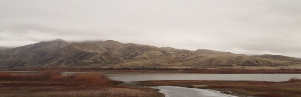
Today, what remains are mostly dry lakebeds, salt flats, and the occasional small remnant like the Great Salt Lake or Pyramid Lake. These playas include the Black Rock Desert, the Carson Sink, and the Humboldt Sink. The only modern remnants existing as true lakes are Pyramid Lake and Walker Lake.
Living Memory of Ancient Waters
Perhaps most remarkably, some evidence suggests that humans may have witnessed these dramatic changes firsthand. Archaeological evidence along the shore indicates the existence of the lake coincided roughly with the first appearance of humans in the region. People, in the area since 16.6–15.3 ka, almost certainly witnessed the last of the Missoula floods and later large floods from other ice-dammed lakes in the Columbia River basin.
This raises fascinating questions about how these dramatic environmental changes might have been passed down through oral traditions. Some researchers have found intriguing parallels between Native American flood stories and the geological evidence of these massive flooding events, though making definitive connections across such vast timescales remains challenging.
The lakes also created their own unique ecosystems that adapted to these unusual environments. The Lahontan cutthroat trout evolved as a predator species within the waters of Lake Lahontan, feeding on native chub and sucker. This subspecies of cutthroat trout survives today in tributary rivers of the Great Basin, and has been reintroduced to Pyramid Lake and Walker Lake after being extirpated during the 20th century.
The discovery and study of these ancient lake systems has revolutionized our understanding of how dramatically Earth’s climate can change, and how quickly those changes can reshape entire landscapes. What seems solid and permanent beneath our feet – the very desert floor itself – tells a story of transformation that would challenge even the most vivid imagination. These vanished waters remind us that the only constant in Earth’s history is change itself.
What do you think about discovering such massive bodies of water existed where now only desert remains? Tell us in the comments.

Jan loves Wildlife and Animals and is one of the founders of Animals Around The Globe. He holds an MSc in Finance & Economics and is a passionate PADI Open Water Diver. His favorite animals are Mountain Gorillas, Tigers, and Great White Sharks. He lived in South Africa, Germany, the USA, Ireland, Italy, China, and Australia. Before AATG, Jan worked for Google, Axel Springer, BMW and others.