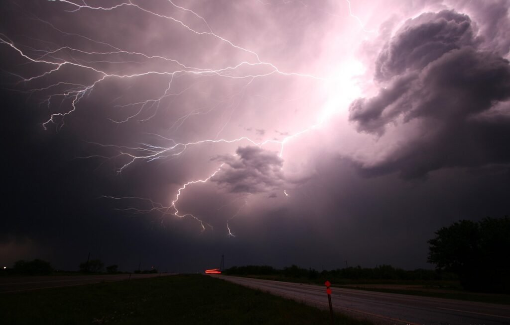
Early Storms Disrupt Saturday Commute (Image Credits: Pixabay)
St. Louis – Heavy showers and thunderstorms swept through the region early Saturday morning, delivering a wet start to the day. The system began pushing out by mid-morning, with precipitation chances dropping sharply after 10 a.m. Behind the front lies cooler, drier air that will dominate the weekend, including Easter Sunday, with highs settling into the 50s and low 60s.[1][2]
Early Storms Disrupt Saturday Commute
Residents encountered intense rain and possible thunder as storms arrived overnight into early Saturday. Forecasts indicated near 100% chance of precipitation before noon, with the heaviest bands concentrated from midnight through 9 a.m. Winds picked up from the west-northwest at 15 to 20 mph, gusting to 30 mph in spots, adding to the blustery conditions.[2]
Hourly breakdowns showed temperatures hovering in the upper 50s to low 60s during the peak, cooling further as clouds parted. By 11 a.m., skies began clearing, paving the way for partial sunshine in the afternoon. Local reports confirmed the storms weakened upon approach, limiting widespread impacts.[1][3]
- 6 a.m.: 64°F, 90% rain chance, west winds 10 mph
- 8 a.m.: 59°F, 70% rain chance, WNW 10 mph
- 10 a.m.: 56°F, 20% rain chance, WNW 12 mph
- Noon: Mostly dry, highs reaching lower 60s
This morning’s activity marked the tail end of a broader system, with no major flooding reported yet. Drivers faced slick roads and reduced visibility during the rush.[4]
Cold Front Ushers in Crisp Weekend Air
The departing storms introduced a sharp temperature drop, with Saturday highs capped in the lower 60s after an initial warm spell. Overnight lows dipped to the upper 30s, signaling a return to spring-like chill. Sunday, Easter Day, promised abundant sunshine and highs in the upper 50s, accompanied by northwest breezes at 10 to 15 mph.[2]
Drier conditions prevailed, with humidity levels falling and no further rain expected through Monday. This shift provided ideal weather for outdoor Easter gatherings, though lighter jackets remained advisable. The weekend’s cool-down contrasted recent warmer trends, offering a refreshing break.[1]
| Day | High/Low (°F) | Conditions | Precip Chance |
|---|---|---|---|
| Saturday | 62/39 | AM showers/t-storms, PM clearing | 70-100% |
| Sunday (Easter) | 59/40 | Sunny, breezy | 0% |
| Monday | 62/37 | Sunny | 0% |
Marginal Severe Risks Accompany Morning Front
While most storms lacked potency near the city, meteorologists noted a low-level severe threat. The metro area fell under a Level 1 risk, with 5% chances for large hail and damaging winds, plus a 2% tornado probability. Northwestern counties faced slightly higher odds at Level 2.[3]
Storms arrived late and weakened, reducing overall impacts. No watches or warnings activated for St. Louis proper, though vigilance stayed recommended during peak hours. Gusty winds posed the primary hazard post-rainfall.[4]
Officials urged caution for downed branches or minor power outages from earlier gusts. Storm reports remained minimal, focused on heavy rain totals nearing an inch in some areas.
Extended Outlook Signals Quiet Pattern
High pressure builds through mid-week, maintaining dry weather into Tuesday. Temperatures rebound modestly, with Monday highs near 62°F and lows in the mid-30s. Clouds increase Tuesday, but rain holds off until later in the week.[2]
By Wednesday, highs climb to the lower 70s under partly cloudy skies. A 20% shower chance returns Thursday, followed by slight thunderstorm odds Friday. The 10-day view suggests seasonable variability, with no major systems imminent.[1]
Key Takeaways
- Morning storms clear by noon Saturday, minimizing disruptions.
- Cool, dry weekend highs in the 50s-60s perfect for Easter plans.
- Low severe risks; monitor northwestern areas for isolated threats.
As St. Louis transitions from soggy start to sunny respite, the weekend forecast emphasizes preparation over panic. Bundle up for the chill and enjoy the fresh air. What are your Easter weekend plans amid this weather shift? Share in the comments.