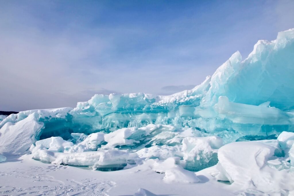

36 Million Image Pairs Reveal a Hidden Pulse (Image Credits: Unsplash)
Researchers have assembled the first global dataset that charts how the planet’s major glaciers accelerate and decelerate across seasons.[1]
36 Million Image Pairs Reveal a Hidden Pulse
A team of scientists analyzed over 36 million pairs of satellite images to produce this unprecedented record of glacial motion. The effort, detailed in a November 2025 Science publication, drew heavily from NASA’s Jet Propulsion Laboratory ITS_LIVE ice velocity dataset. Decades of observations from Landsat satellites formed the backbone, supplemented by data from the European Space Agency’s Sentinel missions.[1]
Prior research often zeroed in on individual glaciers or limited areas, complicating broader applications. This work applied uniform methods across the globe, isolating core drivers of seasonal shifts. Alex Gardner, a NASA JPL scientist and co-author, noted the advance: “This study is the first to characterize seasonal flow changes for all the world’s glaciers.”[1]
The dataset shows seasonal dynamics intensifying amid planetary warming. Strongest variations appeared in regions where annual peak temperatures topped freezing.[1]
Landsat and Radar: A Perfect Pair for Ice Tracking
Feature tracking underpinned the analysis, a technique that follows surface features’ pixel shifts between images. Landsat proved ideal due to its precise repeat orbits, nadir viewing angle, and stable geometry, which minimized distortions.[1]
The panchromatic band at 15-meter resolution sharpened tracking on modern Landsat 8 and 9 craft. Older Landsat 4 and 5 missions relied on Band 2 for optimal contrast on icy expanses. Dense sampling ramped up after Landsat 8’s 2013 debut.[1]
| Optical Data (Landsat) | Radar Data (Sentinel-1) |
|---|---|
| Excels on wet, melting surfaces | Operates day or night, through clouds |
| Needs clear skies and sunlight | Challenges during melt seasons |
| High feature contrast on ice | Validates uncertainties on bedrock |
Optical and radar complemented each other to fill timeline gaps. Radar pierced clouds but faltered on slick melt; optical thrived there but demanded favorable weather. Uncertainty checks ran velocities over immobile bedrock, flagging erratic readings.[1]
Warming Fuels Pronounced Flow Variations
Glacier responses hinged on local traits like bedrock type and fjord geometry. Meltwater lubrication or terminus retreat varied site by site. Yet universal patterns emerged from the worldwide scope.
Seasonal swings sharpened where maximum temperatures cleared zero degrees Celsius. Each additional degree above that benchmark amplified the cycle’s magnitude, Gardner explained. “The amplitude of that seasonal cycle increases with every degree of warming above that threshold.”[1]
Geology and hydrology further shaped behaviors, offering clues to predict future shifts under climate stress.
Open Data Paves Way for New Insights
Landsat 9 observations already feed into ITS_LIVE, primed for seamless expansion. Finer resolution could boost feature counts for precise flows, though quicker revisits risked noisier short displacements.
The public dataset invites broad exploration. Gardner anticipated community-driven breakthroughs: “This study is just the tip of the iceberg. The dataset is rich with insights on glacier mechanics that are waiting to be uncovered.”[1]
Key Takeaways
- First global seasonal glacier velocity map from 36 million image pairs.
- Seasonal pulses grow stronger above 0°C annual max temperatures.
- Landsat-radar combo overcomes weather and melt limitations.
This global vantage promises sharper forecasts of ice loss and sea level impacts. How might these rhythms affect water resources near you? Tell us in the comments.

Jan loves Wildlife and Animals and is one of the founders of Animals Around The Globe. He holds an MSc in Finance & Economics and is a passionate PADI Open Water Diver. His favorite animals are Mountain Gorillas, Tigers, and Great White Sharks. He lived in South Africa, Germany, the USA, Ireland, Italy, China, and Australia. Before AATG, Jan worked for Google, Axel Springer, BMW and others.