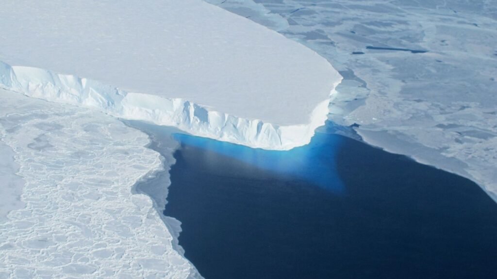

Grounding Lines Shift, Revealing Ice Sheet Vulnerabilities (Image Credits: Cdn.mos.cms.futurecdn.net)
Antarctica – A detailed analysis of three decades of radar satellite data has revealed the retreat of nearly 5,000 square miles of grounded ice, highlighting vulnerabilities driven by warming oceans.[1]
Grounding Lines Shift, Revealing Ice Sheet Vulnerabilities
Scientists delivered a landmark assessment by mapping grounding line migrations across Antarctica’s entire coastline for the first time over such an extended period. The study, published in the Proceedings of the National Academy of Sciences, drew on synthetic aperture radar data from missions operated by agencies in Europe, Canada, Japan, Italy, Germany, and Argentina, supplemented by commercial satellites like those from ICEYE.[2][3] These instruments detected subtle vertical motions in ice shelves caused by ocean tides, distinguishing fixed grounded ice from floating sections.
Lead author Eric Rignot of the University of California, Irvine, described the grounding line as the critical boundary where continental ice meets the ocean. The research documented a net loss of 12,820 square kilometers – equivalent to nearly 5,000 square miles or roughly 10 times the area of Greater Los Angeles – between 1996 and 2025.[4] This retreat averaged 442 square kilometers per year in affected areas.
West Antarctica Leads Dramatic Retreats
Pine Island, Thwaites, and Smith Glaciers in West Antarctica’s Amundsen Sea and Getz sectors showed the most pronounced shifts, with retreats reaching tens of kilometers. The Antarctic Peninsula’s northeast coast and parts of East Antarctica’s Wilkes Land also registered losses following ice shelf collapses.
The table below summarizes key retreats:
| Glacier | Region | Retreat Distance (km) |
|---|---|---|
| Pine Island | Amundsen Sea | 33 |
| Thwaites | Amundsen Sea | 26 |
| Smith | Getz | 42 |
| Edgeworth | Antarctic Peninsula | 16 |
Warm Waters Erode Ice from Below
Warming ocean currents, propelled by winds through deep underwater cavities, have thinned floating ice shelves and diminished their buttressing effect on inland glaciers. This process accelerated retreats in West Antarctica, where pathways channel heat directly to glacier bases.
Rignot likened the pattern to “the balloon that’s not punctured everywhere, but where it is punctured, it’s punctured deep.”[1] Intriguingly, some Peninsula retreats lacked clear warm-water evidence, suggesting additional factors at play.
Stability Persists in Most Regions
About 77 percent of Antarctica’s coastline showed no detectable grounding line movement since 1996, indicating broad stability among coast-reaching glaciers. This finding helps reconcile previous mass balance estimates and underscores that losses remain concentrated.
Yet experts caution against complacency. Rignot noted, “We should perhaps feel fortunate that all of Antarctica isn’t reacting right now… But that could be the next step.”[2]
Benchmark for Future Sea Level Forecasts
The comprehensive record serves as a vital benchmark for ice sheet models predicting sea level rise. Simulations must replicate these observed retreats to gain credibility, as grounded ice loss directly feeds into global oceans. Commercial satellite contributions, like ICEYE’s frequent revisits, enhanced accuracy in fast-changing zones and herald a new era in polar monitoring.
This retreat exposes the ice sheet’s sensitivity to ocean changes, urging refined models and vigilance. What implications do these findings hold for coastal communities worldwide? Share your thoughts in the comments.