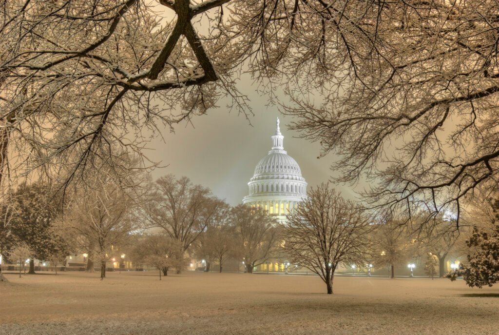
Pinpointing the Snow Timeline (Image Credits: Wtop.com)
Washington, D.C. – Residents in the nation’s capital and surrounding suburbs prepared for a bout of light snow Tuesday evening as forecasted by the National Weather Service.[1]
Pinpointing the Snow Timeline
The flakes could begin falling as early as 4 p.m. to 6 p.m. on Tuesday, February 3, with the main activity peaking overnight before tapering off around 6 a.m. Wednesday.[1][2] Snow showers proved most likely before 1 a.m., accompanied by cloudy skies and light winds.[3]
Accumulation stayed minimal across the region. The DC core expected around a half-inch, while areas south and east, including parts of northern Virginia and the I-95 corridor in Maryland, saw potential for up to 1-3 inches in isolated bands.[4] Baltimore anticipated only a trace. Temperatures hovered in the mid-30s during the day Tuesday, dropping to 24-30 degrees overnight and dipping below freezing, which heightened concerns for icy conditions.[5][1]
Local Authorities Mobilize Snow Response
The District Snow Team remained on high alert, still active from the previous week’s storm. Officials deployed over 200 heavy and light plows, targeting highways, bridges, and residential streets in sequence.[2] Salting operations focused first on elevated structures and the National Highway System, followed by major corridors.
Department of General Services crews pretreated government facilities like schools, police stations, and shelters starting Monday evening at 8 p.m. Multiple agencies, including DPW, DDOT, and HSEMA, coordinated efforts. Residents received reminders to clear sidewalks within eight hours of daylight and use pet-friendly ice melts below 20 degrees Fahrenheit.[2]
Travel and Safety Considerations
Slick roads emerged as the primary hazard, especially south of I-66, Route 50, and I-70, where light coatings could linger into Wednesday’s commute.[1] No widespread advisories issued initially, though a winter weather advisory covered northern Virginia, and hazardous outlooks extended to DC and parts of Maryland.[4] Schools reported delays tied to ongoing ice cleanup from prior events.[5]
Forecasters urged caution for all modes of travel. Key safety measures included:
- Applying salt or sand mixes early to aid shoveling.
- Clearing snow promptly to avoid refreezing.
- Reducing speed and increasing following distance on roads.
- Checking on vulnerable neighbors during the cold snap.
- Watching for flurries persisting Wednesday north and west.
Beyond the Flurries: Chilly Days Ahead
Wednesday brought a mix of sun and clouds with highs above freezing but cooler overall. Another frontal system loomed Friday into the weekend, potentially delivering more wintry weather alongside an Arctic blast.[5][4] Recent freezing streaks had ended, yet the pattern signaled a persistent winter grip on the region.
This clipper-like system marked a brief return to measurable precipitation after drier conditions.
Key Takeaways
- Light snow totals under 0.5 inches for most, but icy spots likely overnight.
- Snow Team fully deployed with plows and pretreatments.
- Plan for slick commutes; follow clearing rules for sidewalks.
As the light snow event unfolded, it served as a reminder of winter’s unpredictability in the Mid-Atlantic. What are your plans to handle the chill? Share in the comments below.