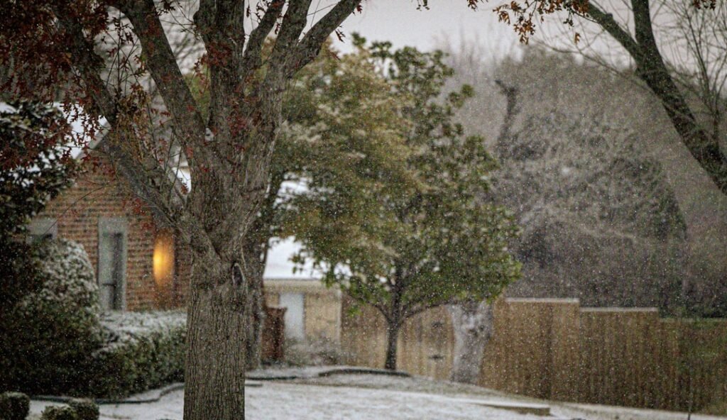
Cold Front Reinforces Seasonal Drop in Temperatures (Image Credits: Unsplash)
North Texas – A shift from recent mild conditions greeted the region as cooler air mass advanced behind an incoming cold front this weekend.
Cold Front Reinforces Seasonal Drop in Temperatures
The National Weather Service reported that another cold front arrived late Friday, building on earlier cooling trends across North Texas.[1][2] High temperatures dipped into the upper 50s and low 60s on Friday afternoon, a noticeable decline from highs near 70 degrees earlier in the week. Northeasterly winds contributed to the chill, limiting warmth under building clouds.
Saturday brought highs around 62 degrees in the Dallas-Fort Worth area, with lows expected near 39 degrees overnight. Sunday looked even cooler, with daytime highs near 61 degrees and morning lows dipping to 36 degrees. Parts of the region faced the possibility of a light freeze early Sunday.[3] Residents noted the change as a reminder that winter patterns lingered into late February.
Gusty Winds Accompany Dry Conditions
Winds picked up significantly behind the front, with sustained speeds reaching 20 to 25 mph and gusts up to 35 mph by Saturday afternoon. Low humidity levels heightened concerns over grass fire risks, particularly west and northwest of Dallas-Fort Worth. Fire weather alerts remained in effect through Saturday in drier areas.[2]
No precipitation accompanied the front, ensuring a dry weekend despite ample sunshine. Clouds thinned out Saturday, allowing clearer skies that amplified the cooling overnight. The combination of breeze and low moisture made outdoor activities feel brisker than thermometers indicated.
Weekend Forecast Breakdown
Meteorologists outlined a straightforward pattern for the Dallas-Fort Worth metroplex and surrounding counties. Here is a snapshot of expected conditions:
| Day | High/Low (°F) | Conditions |
|---|---|---|
| Saturday | 62 / 39 | Sunny, windy |
| Sunday | 61 / 36 | Sunny, possible morning freeze |
| Monday | 61 / 43 | Partly cloudy |
Temperatures bottomed out near freezing in northwestern spots Sunday morning before high pressure stabilized the air mass. Central Texas areas stayed slightly milder, with lows in the lower 50s southeastward.[4]
Return to Milder Weather on Horizon
High pressure dominated early next week, keeping conditions pleasant but cool through Monday. A warmup accelerated Tuesday, pushing highs into the low 70s, followed by upper 70s to low 80s by midweek. Another front loomed later, but immediate outlooks favored dry recovery.[5]
FOX 4 News highlighted the brief nature of the cool snap, noting a quick rebound after the weekend. For detailed updates, check the FOX 4 forecast or the National Weather Service Fort Worth/Dallas page.[5]
Preparation Tips for the Chill
Locals adjusted plans for outdoor events, favoring layers against the wind. Here are key considerations from weather reports:
- Bundle up for morning lows near freezing, especially in rural northwest areas.
- Secure loose outdoor items ahead of gusty winds up to 35 mph.
- Monitor fire risks in low-humidity zones west of DFW.
- Protect sensitive plants from brief freezes Sunday morning.
- Expect plenty of sunshine for weekend activities despite the cool-down.
WFAA meteorologists emphasized the seasonable feel, a welcome contrast to recent unseasonal warmth.[6]
- Cold front brings highs in the 60s and lows near freezing this weekend.
- Gusty winds and dry air raise fire concerns but no rain expected.
- Warmup returns early next week to upper 70s and 80s.
This cold front served as a final winter nudge for North Texas, blending crisp air with sunny skies for a classic late-February weekend. What are your plans amid the chill? Share in the comments below.


