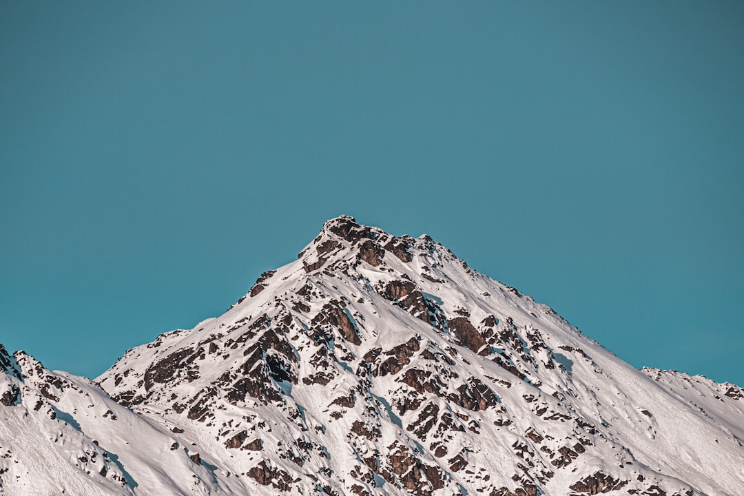
Across the world’s great ranges, from the jagged Alps to the wide-shouldered Rockies, scientists are hearing something uncanny: a quiet, steady murmur pulsing through stone. It isn’t folklore or a trick of the wind; it’s a real signal, a low-frequency vibration rolling through ridgelines that we can measure even when the sky looks calm. This mountain hum is a clue to forces we rarely see – wind shearing over peaks, ocean waves pushing on distant coasts, ice grinding as glaciers breathe with the seasons. Together, these motions create a natural soundtrack that carries hints of changing climate, hidden hazards, and the living mechanics of Earth itself. What’s new is not that mountains move, but that we can finally listen with enough precision to learn what they’re trying to say.
The Hidden Clues
What if the quietest mountains are never truly silent? Beneath the hush of alpine dawn, sensors record faint pulses that continue day and night, weaving a pattern of ripples through rock. These aren’t earthquakes in the dramatic, headline sense; they are smaller, longer, and more patient, like a metronome ticking in the background of a symphony.
Each pulse carries information about how the crust flexes and how energy travels through buried layers. The hum swells when storms march across oceans and softens when winds drop and snow dampens sound. Over time, these patterns sketch a living diary of a mountain’s mood, revealing stresses before cracks become failures.
What Scientists Mean by a Mountain’s Hum
Researchers use “hum” to describe a family of micro-vibrations with periods that typically range from about one to thirty seconds, far below what our ears can detect. Part of it comes from the planet’s continuous background oscillation, a global sway stirred mainly by ocean waves colliding in complex patterns. Another portion arises from local sources – wind loading on ridges, avalanches rumbling in the distance, glacial meltwater rushing through hidden tunnels.
Because each source sings in its own rough register, the spectrum looks like layered notes on a staff. Long-period bands hint at faraway wave action, while higher bands point to nearby weather or ice flow. Separating those layers is the key to turning noise into knowledge.
From Ancient Tools to Modern Science
Long before broadband seismometers, miners listened for changes in rock tone with a hammer tap and a practiced ear. Early mountain geologists carried barometers and notebooks, guessing at hidden structures by the way sound bounced in ravines. It was art as much as measurement, and those instincts still matter on sketchy ridgelines.
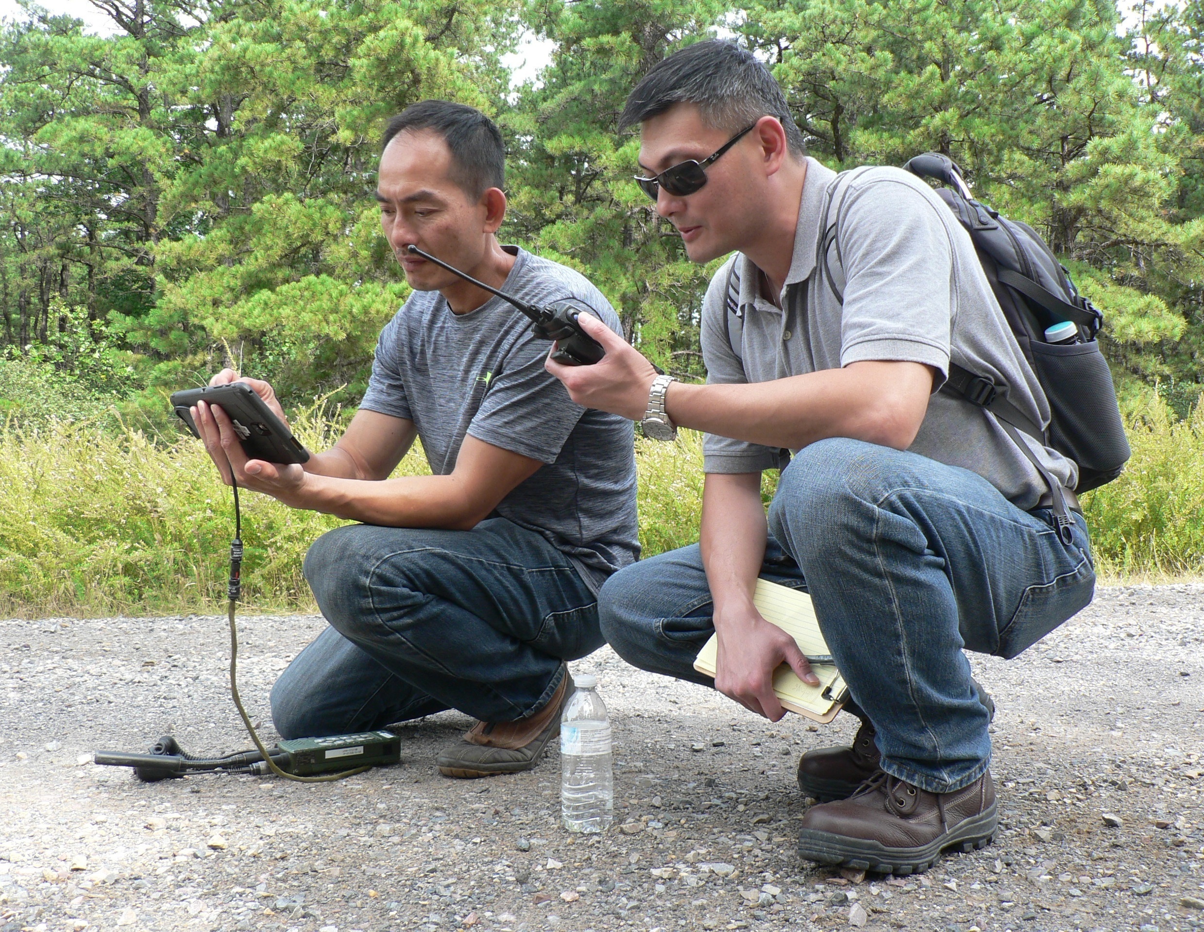
Today, compact instruments anchor into bedrock and sip power from solar panels, logging motion in three dimensions through blizzards and heatwaves. Arrays of infrasound microphones catch air-pressure waves that seismometers miss, while GPS sensors track slow tilts that reveal deep settling. The difference is resolution: we no longer glimpse a few isolated notes; we capture the whole score.
How Wind, Waves, and Ice Set the Score

Wind can push on a ridge the way a bow draws across a string, coaxing flexible slopes and even forests to vibrate as one. When gales build, those vibrations strengthen and shift, offering a fingerprint of storm energy and snowpack conditions. I’ve felt that power on a night hike, when tree trunks thrummed like muted cello strings and the air itself seemed to hum.
Meanwhile, far-off ocean storms pound coastlines and send pressure pulses through the seafloor that travel inland as microseisms, drumming mountains many states away. Glaciers add their own beat: ice fractures, basal slip, and meltwater surges all raise signals that change with seasons and heat. Together, these sources form a shifting, natural playlist that rarely stops.
Listening Posts in Extreme Places
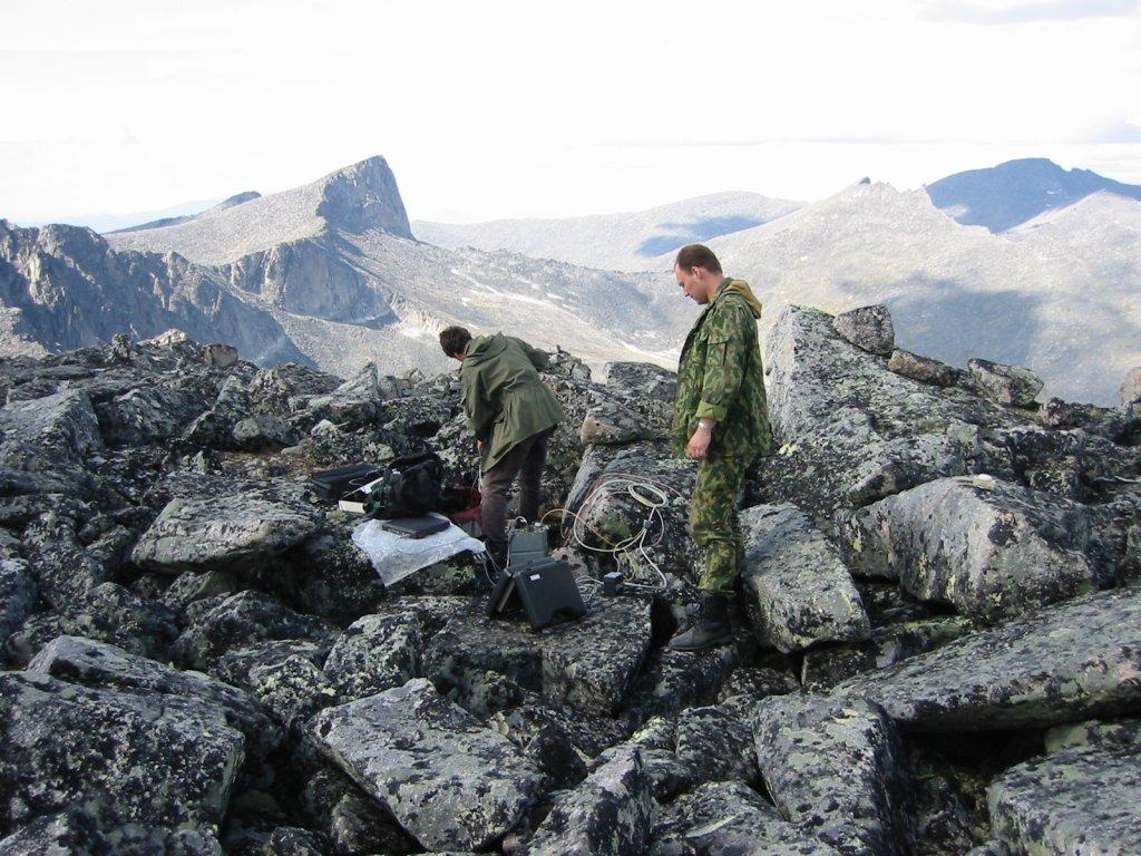
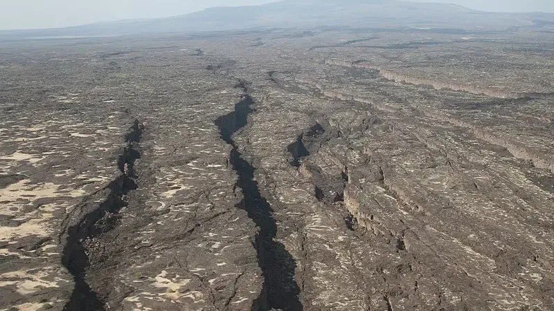
To capture the hum, teams install instruments where the world is stubborn: wind-swept cols, talus fans, nunataks peeking from ice fields. Each sensor needs stable footing, reliable power, and a data link that survives winter’s tantrums. Field crews helicopter gear to ledges, hand-haul it up switchbacks, and sometimes dig it out come spring.
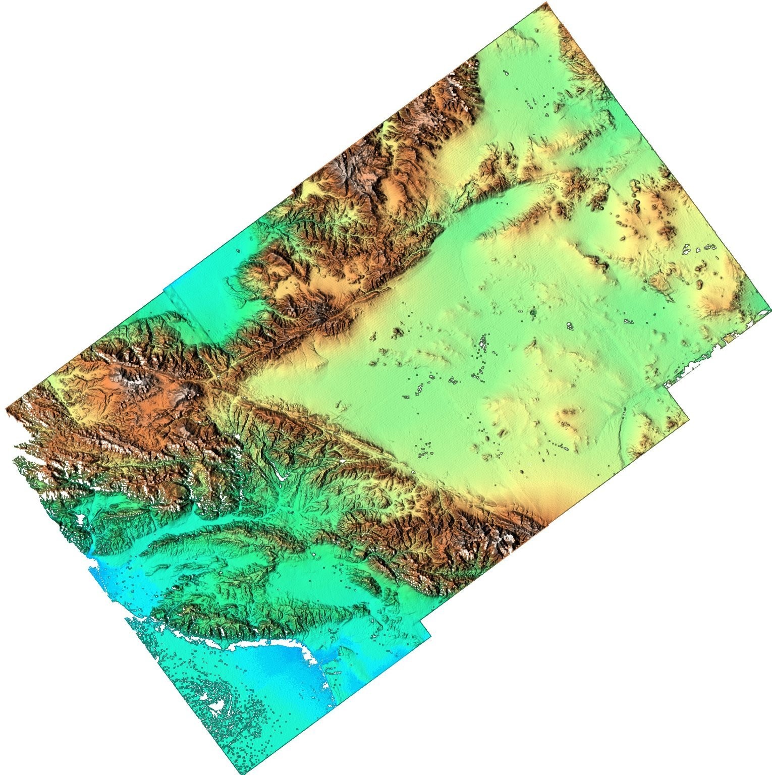
The payoff is a map of vibrations across the landscape, not just at a single point. With multiple stations, scientists triangulate where energy originates and how it scatters. That spatial view turns a mysterious hiss into a traceable story line.
Decoding Patterns with Today’s Algorithms
Raw mountain hum looks messy, but pattern recognition brings order. By stacking signals from many days, researchers tease out repeating rhythms tied to weather or tides, then subtract them to expose rarer events. Machine-learning models help separate avalanche tremor from rockfall, or wind rattle from true microseisms.
Newer techniques use fiber-optic cables as thousands of virtual seismometers, a method known as distributed acoustic sensing. A single cable along a mountain road can hear the ground’s whisper every few yards, catching subtle changes after storms or freeze–thaw cycles. Physics-based models then convert those whispers into estimates of stress and stability.
Why It Matters
The practical payoff is early warning. If a slope’s hum grows louder and shifts tone after heavy rain, it might signal saturation and an elevated landslide risk. In glaciated valleys, a rise in background tremor can mark channels opening within ice, hinting at hazards downstream.
Compared with traditional monitoring – occasional field checks, sparse weather stations – the hum offers continuity and reach. It blends local detail with global context, capturing how faraway storms and nearby snowpack tie together. For communities, that means better forecasts, smarter road closures, and more time to act.
Global Perspectives
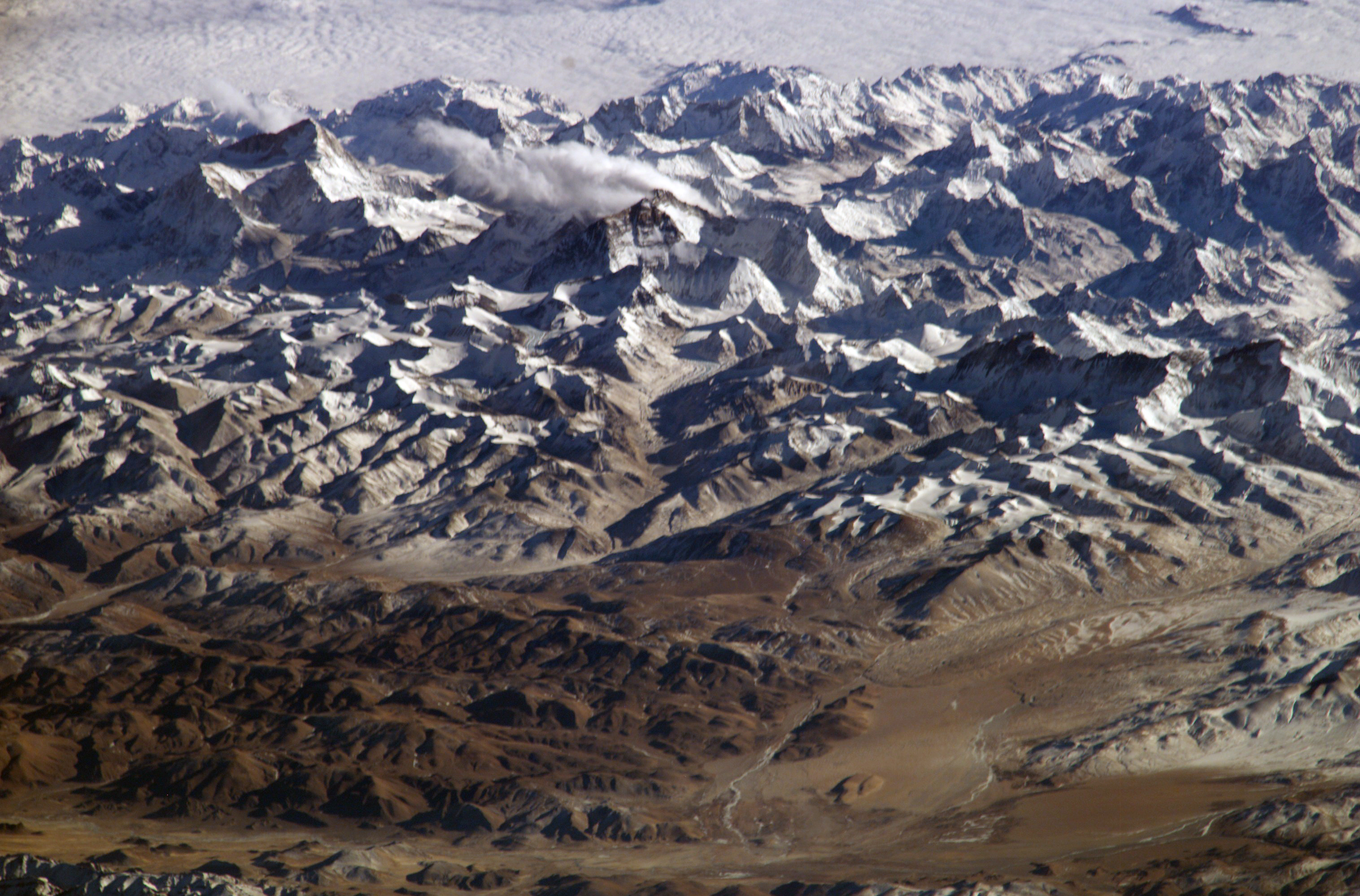
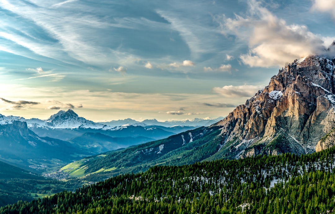
Across the Alps, the hum tracks seasonal snow and strong föhn winds, revealing how valleys funnel energy and where slopes flex most. In the Himalaya, monsoon rains and glacier dynamics add layers to the spectrum, a reminder that water and mountain stability are inseparable. The Andes show how high-elevation deserts respond to rare storms with outsized seismic whispers.
Antarctica brings another dimension, where crevasses, sea-ice pressure ridges, and katabatic winds generate signals in lonely bandwidths. In North America’s Rockies and Cascades, ocean-born microseisms mingle with winter storm signatures, creating a composite that changes week by week. Each range speaks a dialect, but the underlying physics is the same.
The Future Landscape
Expect denser, cheaper networks married to edge computing that flags anomalies in near real time. Lightweight nodes will hitch rides on drones to span valleys, then sleep through storms and wake when energy builds. Fiber lines buried along highways and power corridors will double as continuous ears on the ground.
The challenges are practical: battery life in deep cold, instrument calibration after freeze–thaw, and the grind of maintaining stations far from roads. Data volume will mushroom, demanding open standards and careful privacy rules where sensors sit near communities. Yet the reward – a clearer, earlier picture of risk and resource change – is hard to ignore.
What You Can Do

Stay curious about the landscapes you love, and track local hazard advisories that increasingly draw on these vibration networks. Support public science by backing national surveys, university field stations, and community monitoring programs that share open data. If you hike or climb, report unusual slope sounds or fresh debris, which can help teams validate sensor signals.
For those in mountain towns, encourage infrastructure projects that include environmental sensing from the start, not as an afterthought. Educators can fold the hum into classroom lessons on waves and weather, turning abstract physics into something you can almost feel. Little actions – attention, advocacy, a donated sensor – add up to safer seasons.
Living With a Restless Earth
Mountains seem immovable until you learn to listen, and then they’re anything but still. Their hum is the patient heartbeat of a planet in motion, carrying warnings, weather, and wonder in the same quiet breath. As the climate shifts, that pulse becomes a ledger we can read to protect roads, water, and lives.
I like to think of it as a campfire conversation with the range itself – sometimes soft, sometimes insistent, always honest. We don’t control the tone, but we can choose how carefully we hear it and how wisely we respond. When you stand on a ridge and feel the wind press in, can you sense the music under your boots?

Suhail Ahmed is a passionate digital professional and nature enthusiast with over 8 years of experience in content strategy, SEO, web development, and digital operations. Alongside his freelance journey, Suhail actively contributes to nature and wildlife platforms like Discover Wildlife, where he channels his curiosity for the planet into engaging, educational storytelling.
With a strong background in managing digital ecosystems — from ecommerce stores and WordPress websites to social media and automation — Suhail merges technical precision with creative insight. His content reflects a rare balance: SEO-friendly yet deeply human, data-informed yet emotionally resonant.
Driven by a love for discovery and storytelling, Suhail believes in using digital platforms to amplify causes that matter — especially those protecting Earth’s biodiversity and inspiring sustainable living. Whether he’s managing online projects or crafting wildlife content, his goal remains the same: to inform, inspire, and leave a positive digital footprint.