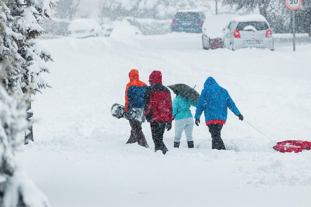
A Lingering Chill Gives Way to Activity (Image Credits: Pixabay)
Cold air dominates the Mid-Atlantic region today, setting the stage for an active weather pattern with snow opportunities and a sharp temperature plunge through the weekend.
A Lingering Chill Gives Way to Activity
Frigid conditions have gripped the area and show no signs of relenting soon. Temperatures stay below average for the remainder of the week. This baseline cold amplifies the impacts of incoming systems. Weak low pressure approaches from the west. It promises to stir up precipitation late in the day Tuesday.
Forecasters note the setup favors wintry weather across the region. The atmosphere remains primed for snow due to the ongoing cold. Residents should prepare for slick spots on roads overnight. Travel disruptions appear likely in the usual trouble areas.
Tuesday Night Snow: Coating to an Inch or Two
Snow develops Tuesday evening as the weak system tracks overhead. Accumulations stay light overall. Most spots see a coating, while some favored areas pick up one to two inches. The event wraps up by early Wednesday morning. Clearing skies follow, but the cold deepens.
This brief wintry episode marks the first real test of winter resilience this week. Plow crews stand ready. Schools may opt for delays if buildup exceeds expectations. The snow enhances the chill factor heading into later days.
Friday’s Clipper Brings Showers and Squalls
A more potent clipper system dives southeast later in the week. It drags a cold front through Friday afternoon and evening. Snow showers scatter across the Mid-Atlantic. Isolated snow squalls pose the biggest hazard with sudden heavy bursts and reduced visibility.
The front reinforces the cold pool already in place. Winds pick up behind it, heightening discomfort. Accumulations remain minimal from showers alone. However, squalls could leave patchy ice. Motorists face the highest risks during evening commutes.
Arctic Air Mass Ushers in Weekend Misery
The clipper’s aftermath delivers the week’s coldest chapter. An Arctic air mass surges in for the first full weekend of February. Temperatures plummet to brutal levels. Strong winds compound the freeze, producing wind chills in dangerous territory.
Highs struggle in the teens or lower Saturday and Sunday. Nights dip well below zero in many locations. Exposed pipes and outdoor pets require attention. Heating demands peak as energy use surges. The pattern locks in this harsh regime through early next week.
Weather Timeline at a Glance
- Tuesday night to early Wednesday: Light snow, coating to 1-2 inches possible.
- Thursday: Continued cold, dry conditions.
- Later Friday: Snow showers and potential squalls from clipper system.
- Saturday-Sunday: Intensely cold Arctic air with gusty winds.
Key Takeaways
- Multiple snow events keep travel tricky midweek and Friday.
- Arctic outbreak defines the weekend with extreme lows.
- Winds amplify the cold, stressing infrastructure and health.
The Mid-Atlantic enters a classic winter gauntlet of snow and severe cold, testing preparedness across the region. Stay updated on local alerts and bundle up accordingly. What impacts do you anticipate from this forecast? Share in the comments below.