At the edge of a crescent lake in County Limerick, Ireland’s past still speaks – if you know how to listen. Lough Gur is not just scenic water hemmed by hills; it’s a centuries-deep archive where stones, banks, and buried shorelines record human lives. Archaeologists have probed this landscape for generations, yet new discoveries keep rewriting the script. The mystery is simple: what were people doing here thousands of years ago, and why did they invest such precision and effort into shaping stone and earth? The latest evidence suggests the answers are richer, stranger, and more human than we imagined.
The Hidden Clues
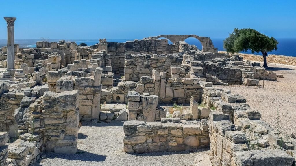
Walk 300 meters west of the lake and you meet a monument with presence: the Grange stone circle, enclosed by an earthen bank, its contiguous uprights forming an almost perfect ring. The measurements are startlingly specific – an internal diameter close to 45 to 46 meters, stones rising to nearly three meters, and a surrounding bank roughly nine meters wide – suggesting planning, coordination, and engineering know-how. Excavations have turned up dense scatters of Beaker pottery sherds inside the enclosure, the shards of ceremonies carried out by late Neolithic communities. Even the layout carries intent: a paved entrance on the east and larger orthostats placed at intervals, paired across the circle like architectural punctuation. Stand in the center and it feels less like a ruin and more like a room where the voices have just left.
What exactly were those voices saying? Calculations differ on the monument’s astronomical targets, but the circle’s gateway and marker stones appear to catch meaningful light – some analyses point to the summer solstice sunrise, while others model alignments around the early November festival of Samhain at sunset. The competing views aren’t contradictions so much as clues that this was a calendar, a stage, and a social contract, all expressed in limestone. Either way, the circle’s precision is the message: time mattered, and these communities embedded it in the landscape. That’s a kind of storytelling older than ink – light and stone choreographed to mark turning points in the year.
From Ancient Tools to Modern Science
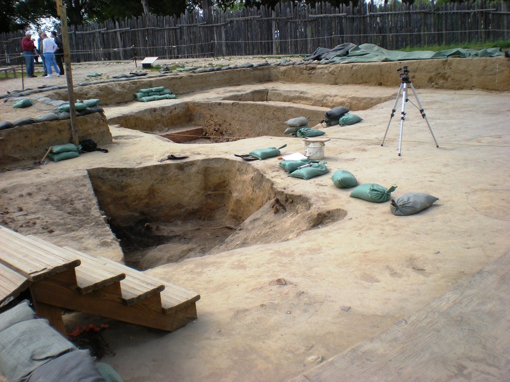
Archaeology here began in earnest long before drones and 3D models, when nineteenth‑century drainage lowered the water level and exposed artifact-rich shorelines. Those chance finds pulled scholars toward Lough Gur, and the momentum never really stopped. Today, researchers pair old-school excavation with photogrammetry, reflectance transformation imaging, and targeted LiDAR to tease out subtle markings and earthworks that eyes can miss. Each new pass tightens the resolution of the story, from the geometry of the embankment to tiny surface carvings on individual stones. You can almost feel the methods layering like sediment, building a clearer picture year by year.
The result is a dialogue across time: trowels confirm what algorithms suspect, and vice versa. When surveys suggest a posthole in the exact center of the circle, it powerfully hints at a rope-and-stake technique for setting that near-perfect circumference. That’s not just clever; it’s evidence of standardized practice and shared knowledge. The more precisely we measure, the more intentional the monument becomes. And the less we can dismiss it as random piles of rock.
The Storytelling Stones

In 2022, a careful eye and a camera caught something new: carvings on one of the Grange stones that had gone unnoticed for millennia. Subtle under daylight, the motifs emerged under controlled lighting techniques, the kind of patient observation that turns stone into text. Their exact meanings remain debated, but the presence of intentional markings adds another layer to the narrative – ritual, memory, identity, perhaps all at once. It’s a reminder that weathered surfaces are not blank; they’re palimpsests waiting for the right light. Even in a well-studied place, the stones still have lines to deliver.
That discovery also reframes the circle’s role in community life. If the banked enclosure staged performances of sunrise and season, carved signs could have acted like captions – anchors for stories told aloud. In a landscape without writing, you use enduring media: rock, water, horizon. I first walked the circle on a cold morning and found myself tracing grooves with my fingertips, feeling for the rhythm of a tale. It’s cliché to say stones speak, but here they absolutely try.
Mapping a Drowned Landscape
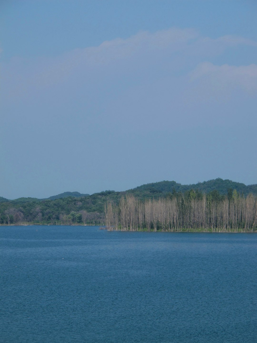
The lake we see today is not the lake the builders knew. Mid‑nineteenth‑century drainage dropped the water level by roughly several meters, exposing fresh shoreline and with it a trove of artifacts that sparked systematic work. That hydrological shift helps explain why so much evidence sits close to the current shore: settlements and activity zones once perched at the liminal edges of older waterlines. Archaeologists now treat the basin as a layered archive, each contour a different chapter in human occupation. The topography is less a backdrop than a co-author of the story.
Some chapters are literally offshore. Lough Gur hosts a man‑made island – Bolin Island – built as a defended lake dwelling, or crannog, probably in the first millennium CE. An underwater causeway likely linked it to the mainland, while the lake functioned as a moat and pantry. Finds from the vicinity include high-status items, implying that people didn’t just live on the water; they invested wealth and skill into doing so. The crannog shows how the lake remained central long after prehistory, re-used and re-imagined by later communities.
Lives Around the Lake
Zoom out from the circle and the density of sites is astonishing: ringforts on Carraig Aille, field systems nicknamed the Spectacles, and later castles tighten the timeline. Each monument marks a decision about security, livestock, kinship, and belief, as if the valley were a notebook scribbled across centuries. Artifacts amplify the picture – knives, bone combs, amber and glass beads, even a hoard of silver hint at trade and conflict that touched this supposedly quiet inland water. Everyday life left as strong a trace as ceremonial life, and the two often blurred. That blur matters because ritual spaces don’t float above society; they sit in it.
Back at Grange, the Beaker sherds and the embanked design suggest gatherings on a serious scale. Imagine choreographing movement through a single east-facing entrance, then filling a 45‑meter circle with bodies, voices, and firelight. Broken pots became deliberate fragments, a performance of making and unmaking. If the stones are the script, people were the actors – and the play ran for generations. The scale alone tells you it was never a private show.
Why It Matters

Monuments like Grange can feel remote, but they answer questions we still ask: How do communities synchronize time, negotiate identity, and materialize belief? Compared with text-based histories, stone circles and crannogs force us to read design, context, and wear as data. That pushes archaeology to act like a translator between materials and meaning, turning alignments, sherds, and soil stains into social history. Traditional approaches focused on typologies and dates; the Lough Gur complex invites systems thinking about landscape and practice. It proves that precision engineering and shared ritual aren’t modern inventions – they’re human constants expressed in local materials.
There’s also the blunt civic value: sites with strong evidence are easier to protect. When we can demonstrate astronomical intent, construction methods, and long-term use, policy and funding follow. And when new science finds carvings no one noticed, it reminds us that guarding access and preventing wear isn’t gatekeeping – it’s stewardship. In other words, the more clearly we can hear the stones, the more likely they are to keep talking.
The Future Landscape
Expect more revelations. High-resolution drone photogrammetry will continue to refine micro-topography, while RTI and structured light scanning will probe stone surfaces for faint carvings and tool marks. Underwater survey around the crannog and former shorelines could map jetties, paths, and discard zones invisible from land. Even modest sediment cores can track vegetation change, grazing pressure, and pulses of human activity. Combined, these methods turn the lake basin into a living laboratory rather than a static postcard.
The other frontier is interpretation. Computational models can simulate sightlines and crowd movement at solstices or festivals, testing which alignments actually work on the ground. Community science may expand monitoring, with residents logging seasonal light effects and erosion. The challenge will be balancing access with protection as visitor numbers rise, and making sure local people benefit from the attention. If the past is a shared asset, then the future management has to be co-authored too.
Conclusion

If Lough Gur speaks to you, there are simple ways to help it keep its voice. Visit respectfully: stay off the stones, stick to paths, and follow seasonal guidance from site managers. Support local heritage groups that maintain trails, fund research, and run education programs, because stable budgets turn good intentions into durable protection. Share accurate information – especially about alignments and carvings – so speculation doesn’t drown out the evidence.
And if you notice damage, erosion, or new markings, report them; small observations can lead to big discoveries.

Suhail Ahmed is a passionate digital professional and nature enthusiast with over 8 years of experience in content strategy, SEO, web development, and digital operations. Alongside his freelance journey, Suhail actively contributes to nature and wildlife platforms like Discover Wildlife, where he channels his curiosity for the planet into engaging, educational storytelling.
With a strong background in managing digital ecosystems — from ecommerce stores and WordPress websites to social media and automation — Suhail merges technical precision with creative insight. His content reflects a rare balance: SEO-friendly yet deeply human, data-informed yet emotionally resonant.
Driven by a love for discovery and storytelling, Suhail believes in using digital platforms to amplify causes that matter — especially those protecting Earth’s biodiversity and inspiring sustainable living. Whether he’s managing online projects or crafting wildlife content, his goal remains the same: to inform, inspire, and leave a positive digital footprint.