Beneath the thundering buses and the endless parade of commuters, London hides a secret world. Imagine standing on a busy street, the noise of the city all around, while invisible rivers rush beneath your feet. These forgotten waterways, once as vital as the Thames itself, still pulse through the city’s bones, shaping its history, landscape, and even its daily life. Most Londoners have no idea that streams, brooks, and rivers flow under their neighborhoods, whispering stories of ancient times, vanished villages, and the wild, untamed land that predated the city’s stone and steel. Let’s descend into this hidden labyrinth and discover the lost rivers of London—the underground veins that still quietly define the beating heart of the capital.
The Rise and Disappearance of London’s Rivers
Long before skyscrapers and double-decker buses claimed the skyline, London was a city of water. Its rivers and streams shaped the landscape, carving valleys and nourishing forests. As the city grew, these waterways became essential for drinking, washing, and powering mills. But with the rise of industry and population booms, London’s rivers turned from lifelines to liabilities—polluted, clogged, and dangerous. To keep the city healthy and moving, engineers buried miles of rivers in brick tunnels, turning them into forgotten sewers or drains. Today, only a few surface hints remain, but their impact still lingers in the city’s geography.
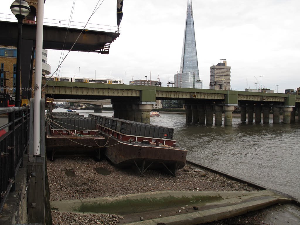
The Fleet River: From Sacred Stream to Sewer
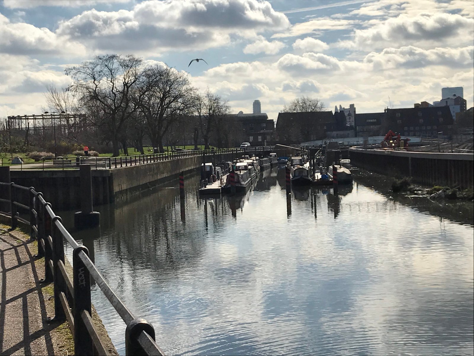
The Fleet was once the largest of London’s lost rivers, a bustling waterway that ran from Hampstead down to the Thames. In Roman and medieval times, it was a place of worship and commerce, lined with wharves and monasteries. Over centuries, encroaching development and pollution turned the Fleet into a foul-smelling hazard. By the 18th century, it was covered over and became part of the city’s new sewer system. But on rainy days, you can sometimes hear its roar beneath Farringdon Road—a ghost river, still angry and alive.
The Tyburn: Hidden Beneath Palaces and Parks
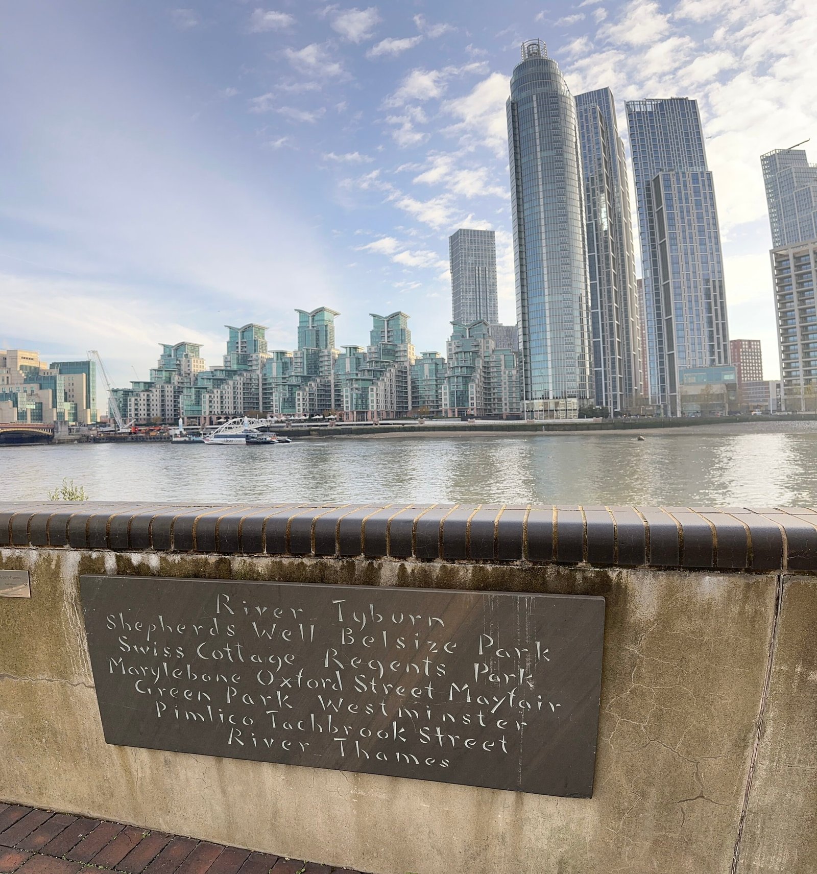
The Tyburn begins on Hampstead’s gentle slopes, winding its way through Regent’s Park and under Buckingham Palace. Centuries ago, it watered fields and orchards, and was infamous as the site of public executions at Tyburn Tree. Today, its course is marked by subtle dips in the road and mysterious grates in the pavement. Beneath marble halls and royal gardens, the Tyburn still runs, quietly shaping the ground above and sometimes bursting forth during heavy rains, as if reminding Londoners of its enduring presence.
The Walbrook: The River That Built the City
Few people realize that the Walbrook, a small stream, was once central to London’s birth. The Romans founded Londinium on its banks, using its water for drinking, industry, and even religious rituals. Archaeologists have found ancient wooden pipes and altars in the mud where the Walbrook flowed. Over time, the river was lost beneath streets and buildings, but its influence remains—modern Bank and Cannon Street owe their shape and position to the long-buried Walbrook.
The Westbourne: From Serene Stream to Victorian Conduit
The Westbourne once flowed gracefully through Hyde Park, forming the Serpentine Lake, before heading south to meet the Thames. As London expanded, the Westbourne was forced underground, running through cast-iron pipes that still cross Sloane Square Tube Station today. If you listen carefully on the platforms, you might just hear water gurgling through those ancient pipes—a living connection to the park’s wild past and the city’s ever-changing relationship with nature.
The Effra: South London’s Secret Artery
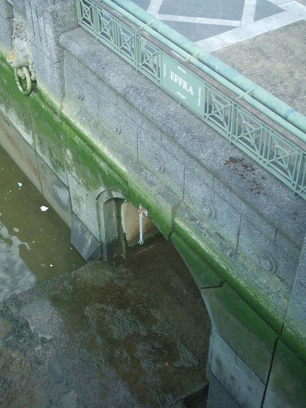
The Effra River’s name is nearly forgotten, but its course runs deep under Brixton, Herne Hill, and Vauxhall. In Victorian times, it was notorious for flooding and spreading disease, so engineers entombed it in brick culverts. Yet, the Effra refuses to be forgotten. After heavy rains, its presence is betrayed by flooded cellars and sudden fountains in the street. Locals sometimes joke that you need a canoe to get to the shops, a reminder that the river is never truly gone.
The Neckinger: The Grim River of Bermondsey
Winding through southeast London, the Neckinger was once the heart of a notorious slum called Jacob’s Island—described by Charles Dickens as the “filthiest, strangest, and most extraordinary” place in London. The river got its chilling name from the noose used to hang pirates at its mouth. Today, the Neckinger is hidden beneath warehouses and apartment blocks, but its dark history still haunts the area, and its waters occasionally surge to the surface, recalling the days when life and death depended on the river’s moods.
The Counters Creek: A Lost Link to the Thames
Starting in Kensal Green and flowing to Chelsea, Counters Creek was once navigable by barge, carrying goods and rubbish in and out of the city. Over time, it became a foul-smelling drain and was covered over, later forming the route of the West London railway. Today, its presence is marked only by the odd dip in the land and the course of the railway, but every time trains thunder over the tracks, they echo the forgotten waterway below.
The Stamford Brook: A Patchwork Waterway
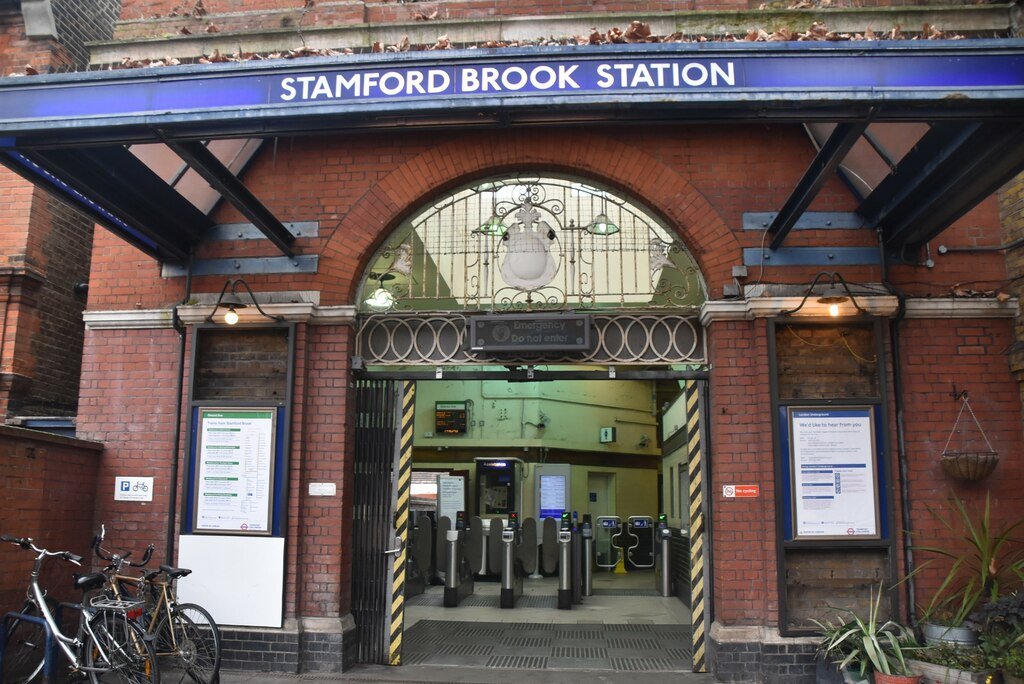
Unlike other lost rivers, Stamford Brook was never a single stream, but rather a network of rivulets that watered West London. Its many branches spread life to orchards and farms, but as the city sprawled, the brook was gradually buried and piped away. Yet, after heavy rains, old paths of Stamford Brook reveal themselves in flooded gardens and sodden basements, a stubborn reminder that water always finds its way home.
The Moselle: Haringey’s Hidden Stream
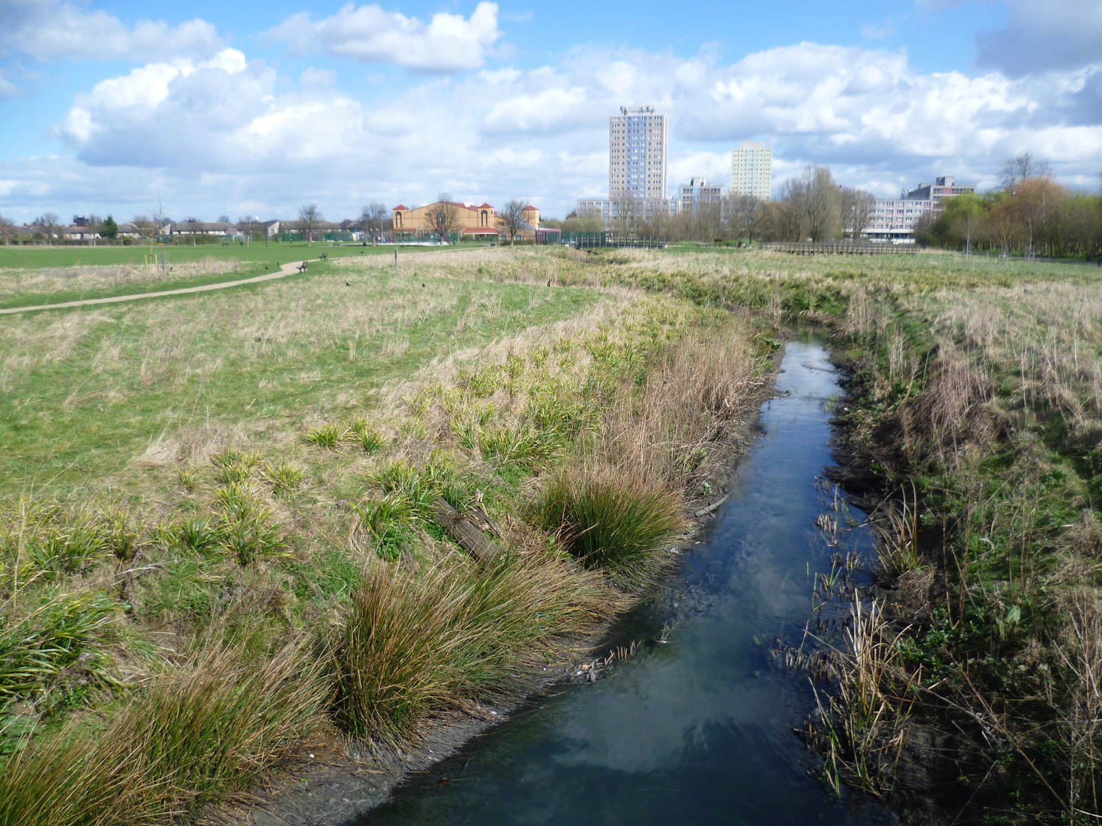
Named after its more famous continental cousin, London’s Moselle runs through the heart of Haringey, from Muswell Hill to the River Lea. In the past, it fed ponds and wetlands teeming with wildlife, but urbanization pushed it underground. Today, the Moselle is mostly invisible, but its floodplain still dictates the shape of the land, and its waters sometimes rise up in parks and playgrounds, sparking curiosity among children and adults alike.
The Quaggy: Lewisham’s Muddy Memory
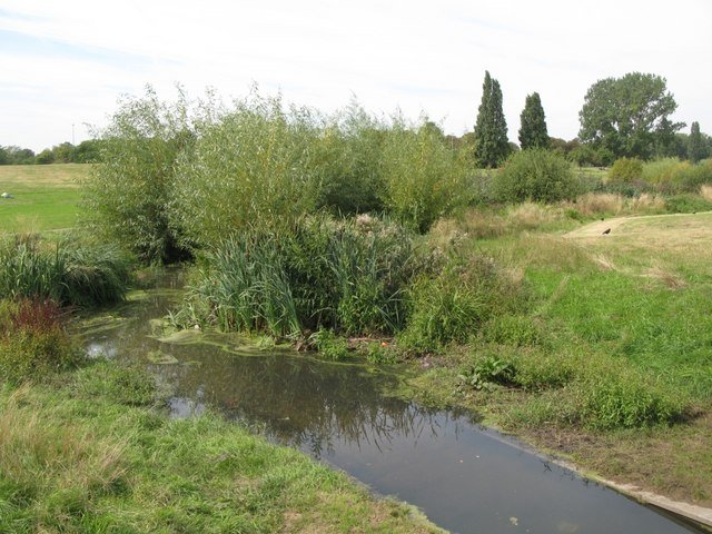
The Quaggy River meanders through southeast London, its name a nod to the boggy land it once soaked. As Lewisham grew, the Quaggy was tamed, straightened, and often hidden in concrete channels below ground. However, in recent years, efforts to “rewild” parts of the Quaggy have brought it back into view, with new parks and wetlands that give the river—and local wildlife—a second chance to thrive.
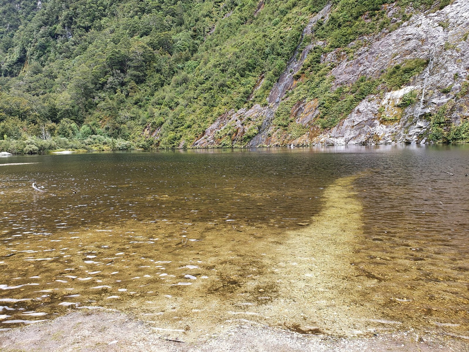
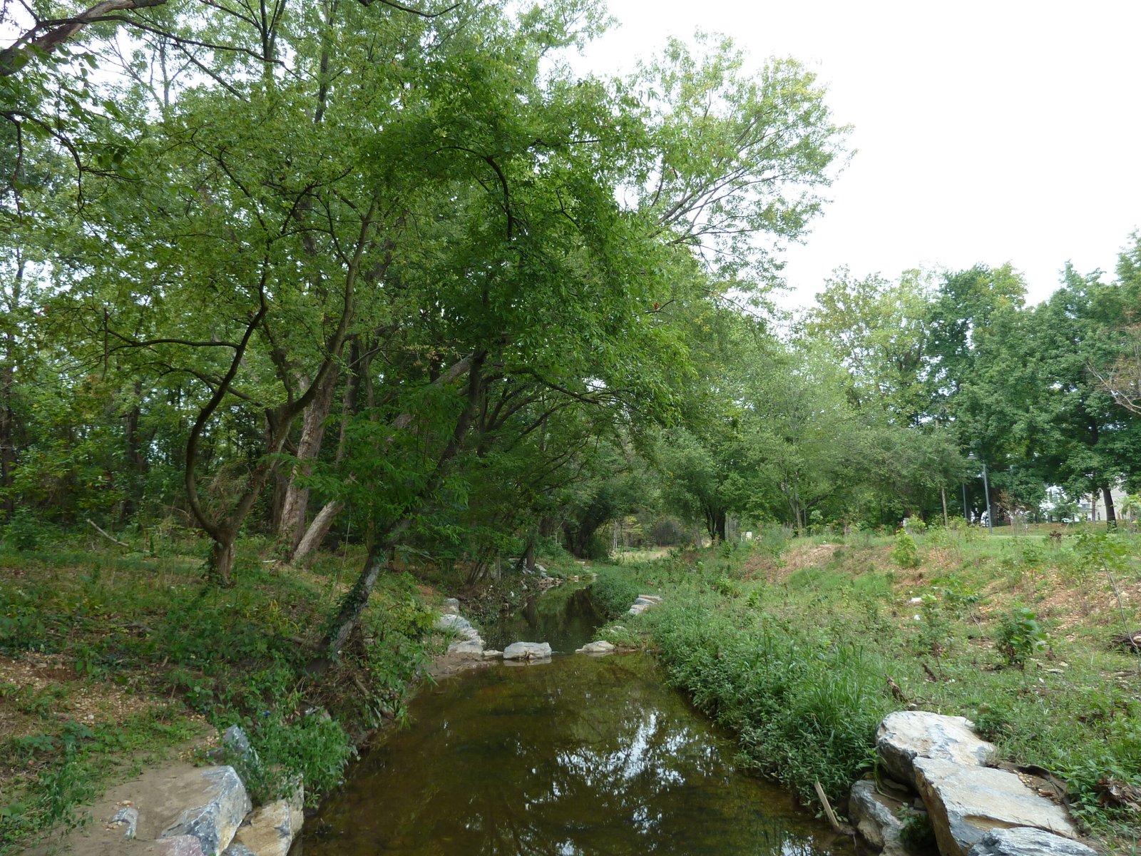
The Ravensbourne: A Living Relic
Unlike most of London’s lost rivers, the Ravensbourne still flows above ground for much of its course, winding through Bromley, Lewisham, and Deptford. It’s a survivor, cherished by locals and nature lovers who stroll along its banks. The river is home to kingfishers, herons, and even the occasional otter, proving that London’s wild heart still beats, hidden in plain sight.
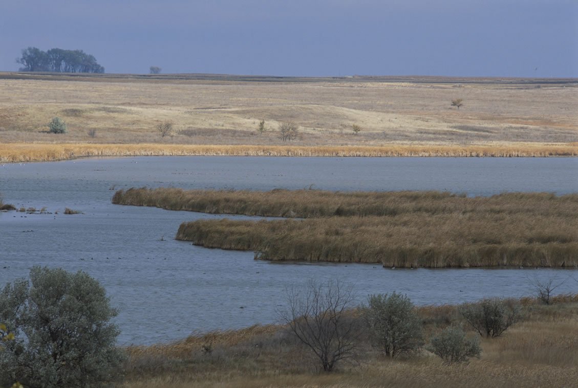
The Lea: A River Reborn
The River Lea is one of London’s oldest and most storied waterways, rising from the Chilterns and joining the Thames at Bow Creek. Although not truly “lost,” for much of its length, the Lea was canalized and industrialized, its natural beauty all but erased. In recent years, the river has seen a rebirth, with sections restored for wildlife and recreation. The Lea Valley is now a chain of parks, marshes, and cycle paths—proof that even the most battered river can find new life.
Nature’s Persistence: Floods and Flashbacks
Despite human efforts to contain them, London’s lost rivers have a habit of reminding people they’re still there. Flash floods, sinkholes, and sudden bursts of water in unexpected places often trace back to these buried streams. Engineers and city planners now have to reckon with the unpredictable nature of water, accepting that even the most carefully hidden river can shape streets, buildings, and lives in surprising ways.
Archaeology and River Ghosts
Dig anywhere in London, and you’re likely to unearth clues to the city’s watery past. From Roman wooden pipes to medieval riverbanks buried beneath office towers, archaeological finds reveal how deeply rivers are woven into London’s story. Sometimes, construction workers break into old river tunnels, unleashing torrents of water and mud that halt work for days. These moments are both frustrating and awe-inspiring, a reminder that the past is always just below the surface.
The Language of the Lost Rivers
Even if the rivers themselves are hidden, their names linger in the city’s language. Streets and neighborhoods like Fleet Street, Tyburnia, and Effra Road all hint at the buried waterways below. Local legends and ghost stories tell of strange noises, mysterious floods, and even the spirits of those who lived and died by the rivers’ banks, keeping the memory of London’s lost rivers alive in everyday speech.
Wildlife at the Water’s Edge
Where rivers have been brought back to the surface, nature has returned with a vengeance. Birds, fish, and insects quickly recolonize wetlands and restored riverbanks, creating urban oases in the heart of the city. Even in the dark, damp tunnels where rivers still flow underground, unique ecosystems of bats, fungi, and rare insects have taken hold. These hidden habitats are a testament to nature’s resilience and the enduring power of water.
Engineering Marvels and Missteps
The burial of London’s rivers was one of the great engineering feats of the Victorian era. Massive brick tunnels, iron pipes, and pumping stations transformed the city’s landscape and saved countless lives from disease. But not every project went to plan—some rivers proved impossible to tame, bursting their banks and flooding neighborhoods. These engineering adventures left scars and stories that still shape London’s infrastructure and identity.
Art, Literature, and the Allure of the Underworld
London’s lost rivers have inspired generations of writers, painters, and musicians. Charles Dickens, Iain Sinclair, and countless others have found poetry in the city’s hidden streams. Artists imagine these rivers as gateways to secret worlds, full of mystery and magic. From haunting novels to immersive art installations, the lost rivers remind us that beneath the everyday hustle lies a realm of forgotten histories and endless possibility.
Modern Rediscovery and Urban Renewal
In recent years, there’s been a renewed interest in uncovering and celebrating London’s lost rivers. Community groups, historians, and ecologists lead walks along their former courses, while ambitious projects seek to “daylight” sections of buried streams. These efforts aim to reconnect people with their environment, improve urban biodiversity, and create new green spaces. The lost rivers, once hidden and ignored, are now at the heart of a movement to make London a healthier, wilder, and more magical city.
What Lies Beneath: The Future of London’s Rivers

As climate change brings heavier rains and higher tides, the lost rivers of London have become more important than ever. Their underground channels act as pressure valves, carrying water away from flooded streets—or, at times, overwhelming the city’s defenses. Planners now look to these ancient waterways for solutions, blending old wisdom with new technology. The rivers that once shaped London’s past may be the key to its future, guiding the city through the challenges of a changing world.