Space technology, often synonymous with exploring distant galaxies, is making a profound impact closer to home: tracking and protecting endangered species. This innovative fusion of advanced technology and wildlife conservation is unlocking new possibilities to safeguard biodiversity and vital ecosystems. By leveraging satellites and other space-based tools, conservationists gain critical insights into animal movements, habitat changes, and threats to survival, enabling more effective strategies to prevent species extinction.
Satellites: An Eye in the Sky
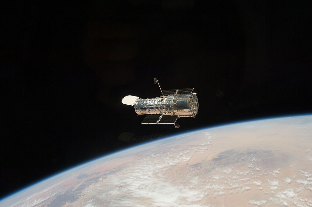
Satellites orbiting Earth provide an unparalleled perspective for monitoring wildlife and their environments. Equipped with high-resolution sensors and cameras, these satellites capture detailed images of the Earth’s surface, allowing conservationists to track animal migrations, observe habitat changes, and identify human activities such as poaching or deforestation. For instance, satellite technology has been crucial in monitoring elephant migration patterns across Africa, where expansive and remote terrains make ground-based tracking impractical.
GPS Collars and Animal Tracking
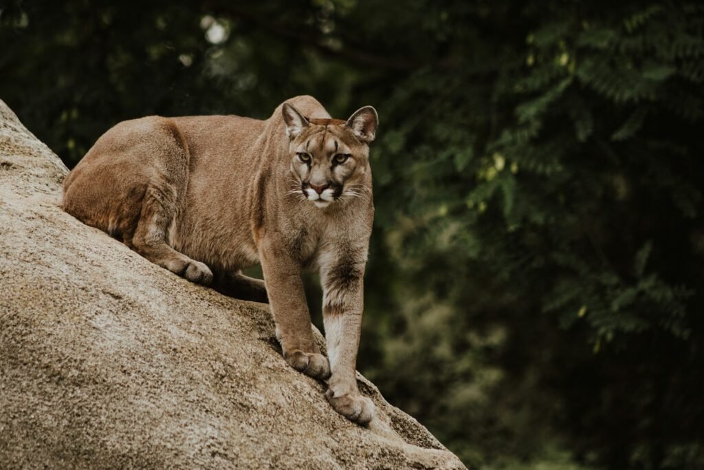
Space technology also extends to ground-level applications, such as GPS collars. These devices, attached to individual animals, communicate with satellite networks to provide real-time data on movements and behaviors. By studying these patterns, researchers can identify critical habitats, migratory corridors, and potential conflict zones. This information enables wildlife managers to mitigate threats like poaching or habitat fragmentation while promoting human-wildlife coexistence. GPS tracking has been especially effective for species like snow leopards and sea turtles, whose elusive behaviors make them difficult to study.
Remote Sensing and Habitat Analysis

Remote sensing, powered by satellites, plays a pivotal role in analyzing and managing wildlife habitats. Using thermal imaging and infrared sensors, satellites can monitor environmental conditions such as vegetation health, water availability, and climate changes. This data helps conservationists assess habitat quality and predict risks like deforestation or droughts that could threaten species survival. For example, remote sensing has been instrumental in identifying critical nesting sites for endangered sea birds and protecting these areas from human encroachment.
Combating Poaching with Space Technology

Poaching remains one of the gravest threats to endangered species, but space technology is turning the tide. Satellites can survey vast, remote areas prone to poaching, providing real-time intelligence on suspicious activities. Some satellites can even detect heat signatures from vehicles or boats used by poachers in protected areas. By analyzing historical data and patterns, conservationists can predict poaching hotspots, enabling targeted interventions and more efficient use of anti-poaching resources.
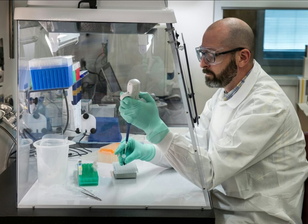
The Role of AI and Big Data

The integration of artificial intelligence (AI) and big data analytics with satellite imagery is revolutionizing conservation efforts. AI algorithms process immense datasets, identifying patterns and anomalies that could indicate threats to wildlife or their habitats. This automation accelerates decision-making and ensures resources are deployed effectively. For example, AI can analyze satellite images to detect illegal logging activities or track shifts in animal populations, providing conservationists with actionable insights in near real-time.
Challenges and Future Prospects
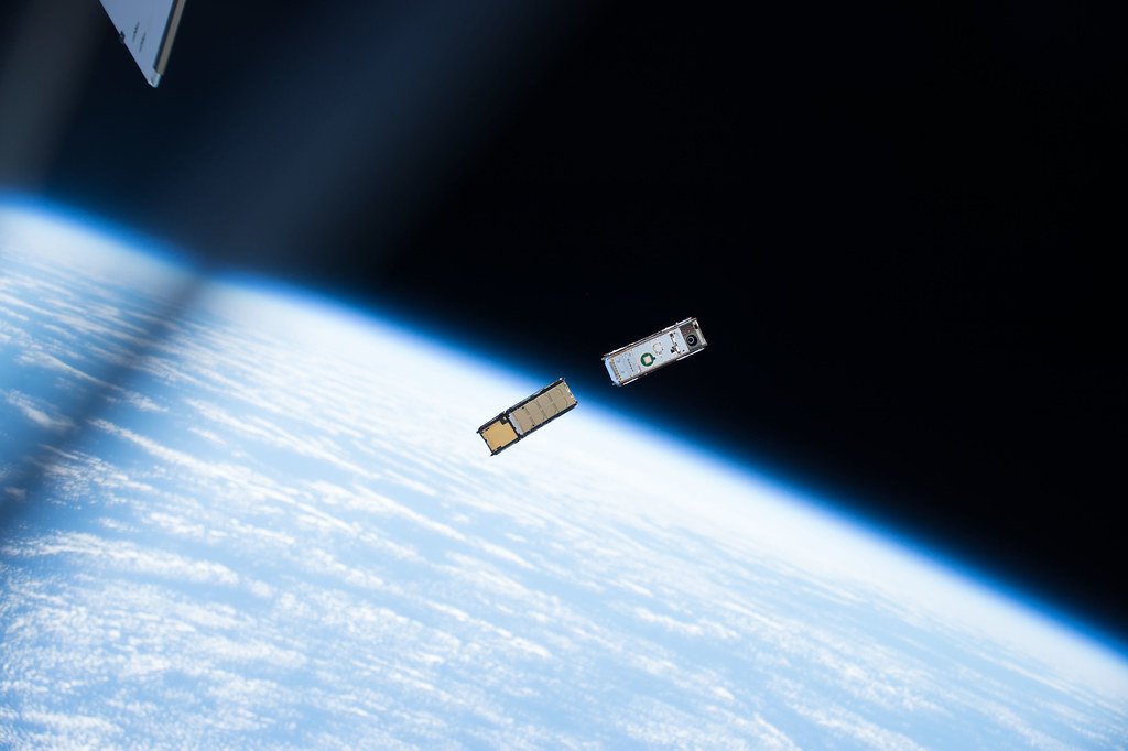
Despite its transformative potential, using space technology for wildlife conservation faces challenges, including high costs, complex data management, and the need for technical expertise. However, advancements in miniaturized, cost-effective satellites like CubeSats and improvements in data processing technologies are making these tools more accessible. As collaboration between conservationists, space agencies, and technology firms increases, the capabilities of space-based conservation tools will expand, enabling broader and more impactful applications.
Conclusion

Space technology is revolutionizing wildlife conservation by offering unparalleled tools to monitor and protect endangered species and their habitats. Through satellite imagery, GPS tracking, remote sensing, and AI integration, conservationists are better equipped to address the challenges of biodiversity loss. While hurdles remain, the ongoing development of innovative and accessible solutions offers hope for preserving Earth’s rich biodiversity. By looking to the stars, humanity is finding new ways to care for the natural world and ensure a sustainable future for all species.