Marine science has always been full of surprises. Yet few discoveries have been as unexpected as the connection between whale migrations and storm forecasting. When researchers first noticed patterns in whale movement data that seemed to predict atmospheric changes, it sounded almost too fantastic to be true. Today, this revolutionary approach is transforming how we understand both marine life and weather systems, opening doors to more accurate hurricane predictions than ever before.
The relationship between ocean mammals and storm patterns has emerged from decades of careful observation. Scientists tracking whale populations for conservation purposes discovered their data held secrets about oceanographic conditions that influence weather formation. This breakthrough represents a fascinating intersection of marine biology and meteorology, proving that nature’s own navigation systems might hold keys to saving human lives.
The Unexpected Discovery: When Marine Biology Met Meteorology
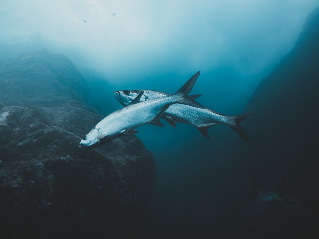
The breakthrough began with a casual conversation over golf. Jerry Ault and Nick Shay were golfing on Key Biscayne when they had an epiphany. It was a humid Saturday in 2011, and the men, colleagues at the University of Miami’s Rosenstiel School of Marine and Atmospheric Sciences, had each had a few beers. Somewhere around the 9th hole, they started talking about the 26° C isotherm. This warm water zone, critical for hurricane development, turned out to be exactly where tarpon were swimming during their migrations.
Ault, a professor of marine biology and fisheries, was using satellite tags to track tarpon, the legendary game fish that is valuable to the U.S sport fishing industry. Based on data from the tags, he’d discovered that tarpon adhere to the 26° C isotherm during their annual migration through the Gulf of Mexico and the Caribbean Sea. The fish were essentially mapping the exact conditions meteorologists needed to predict storm intensity.
Every day, Shay, a professor of meteorology and physical oceanography, was posting the depth and location of the 26° C isotherm – a zone of warm water equal to 78.8° F – on his website. Meteorologists find the data useful, since hurricanes are known to intensify after passing over pockets of warm water in the ocean. The deeper the warm water goes, the more intense a storm becomes. The realization hit them: marine animals were already tracking this critical data with remarkable precision.
Understanding Ocean Temperature’s Role in Storm Formation
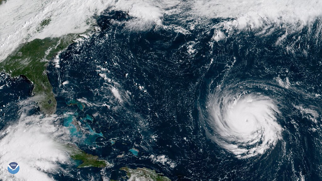
According to NOAA’s 2024 updates, hurricanes only form when ocean temperatures surpass 26°C (about 78.8°F), feeding on the warmth and humidity like a living engine. The 2023 Atlantic season, which saw 20 named storms and 7 hurricanes, highlighted how subtle shifts in sea temperatures can spark or stifle these colossal storms. These temperature thresholds create invisible boundaries that both storms and marine life respect.
The connection runs deeper than simple temperature preferences. The ocean drives global weather. By building on past research, scientists have determined that factors in the boundary layer and underlying ocean such as salinity, temperature, currents, precipitation, and wave and wind patterns are crucial to understanding the energy that fuels a hurricane. Whales, swimming through these waters daily, experience these changes firsthand and adjust their behavior accordingly.
The main point of that paper is that there was this fantastic relationship between ocean temperature and hurricane power…It surprised us how much power increase you got with just a little bit of increase in the sea surface temperature… This sensitivity means that even small temperature variations whales detect could signal significant storm development potential.
How Whale Tracking Technology Works
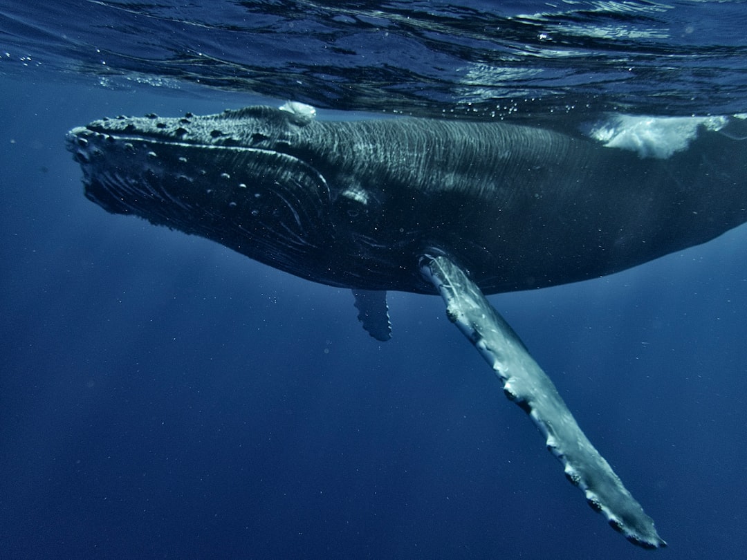
Scientists use GPS tags to follow whale movements during storms. These tags show where whales go before and after hurricanes. The technology has evolved dramatically from the bulky devices of the 1980s to sophisticated instruments that can monitor multiple environmental parameters simultaneously.
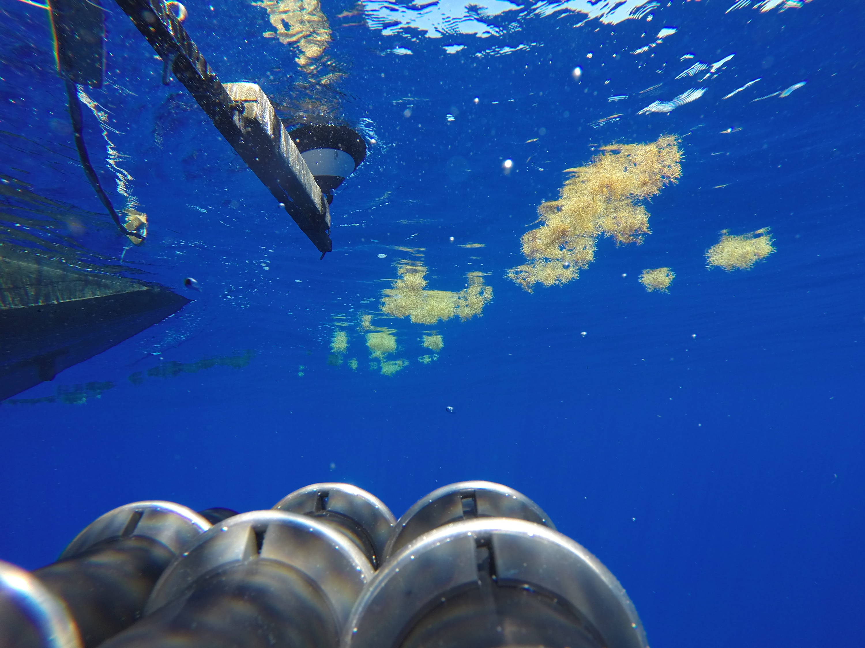
The Saildrone has the advantage of covering a large area, while being able to stay out for months at a time, making it much more cost-efficient than a full-scale vessel survey. It also has the added benefit of being integrated with oceanographic and lower trophic instrumentation, allowing for the correlation of marine mammal data with oceanographic and prey variables. This integration creates comprehensive datasets that serve both biological and meteorological research.
Modern tracking systems capture far more than just location data. These model estimates were developed from habitat-based models of whale occurrence that combine satellite tracking of whales with information on the environment and can be used by ship captains to identify whale hot spots to avoid. WhaleWatch is an automated tool that uses advanced technologies to predict where blue whales are likely to be in near real-time. The same models predicting whale locations also reveal critical oceanographic conditions.
Satellite Data and Marine Mammal Movements
Instead, this tool uses many years of tag data to let the whales tell us where they go, and what conditions drive aggregation and migration. WhaleWatch is an innovative combination of novel satellite technology and computer modeling approaches that can provide timely information to West Coast managers and the shipping industry. This approach transforms decades of animal behavior data into predictive environmental models.
By combining 10 years of satellite tracking data on blue whales with simultaneous remotely-sensed oceanographic measurements in the North Pacific, we demonstrate that both long-term memory and resource tracking play key roles in the long-distance migrations of marine megafauna. The consistency of these patterns over time makes them reliable indicators of ocean conditions.
The scale of data collection has reached unprecedented levels. To date, scientists and the general public have submitted more than 1 million photos, creating a global catalog of more than 100,000 individual whales. Each new data point provides more insight into the whales movements. This massive dataset provides researchers with statistical power to identify subtle correlations between whale behavior and environmental changes.
Real-Time Ocean Monitoring Through Marine Life
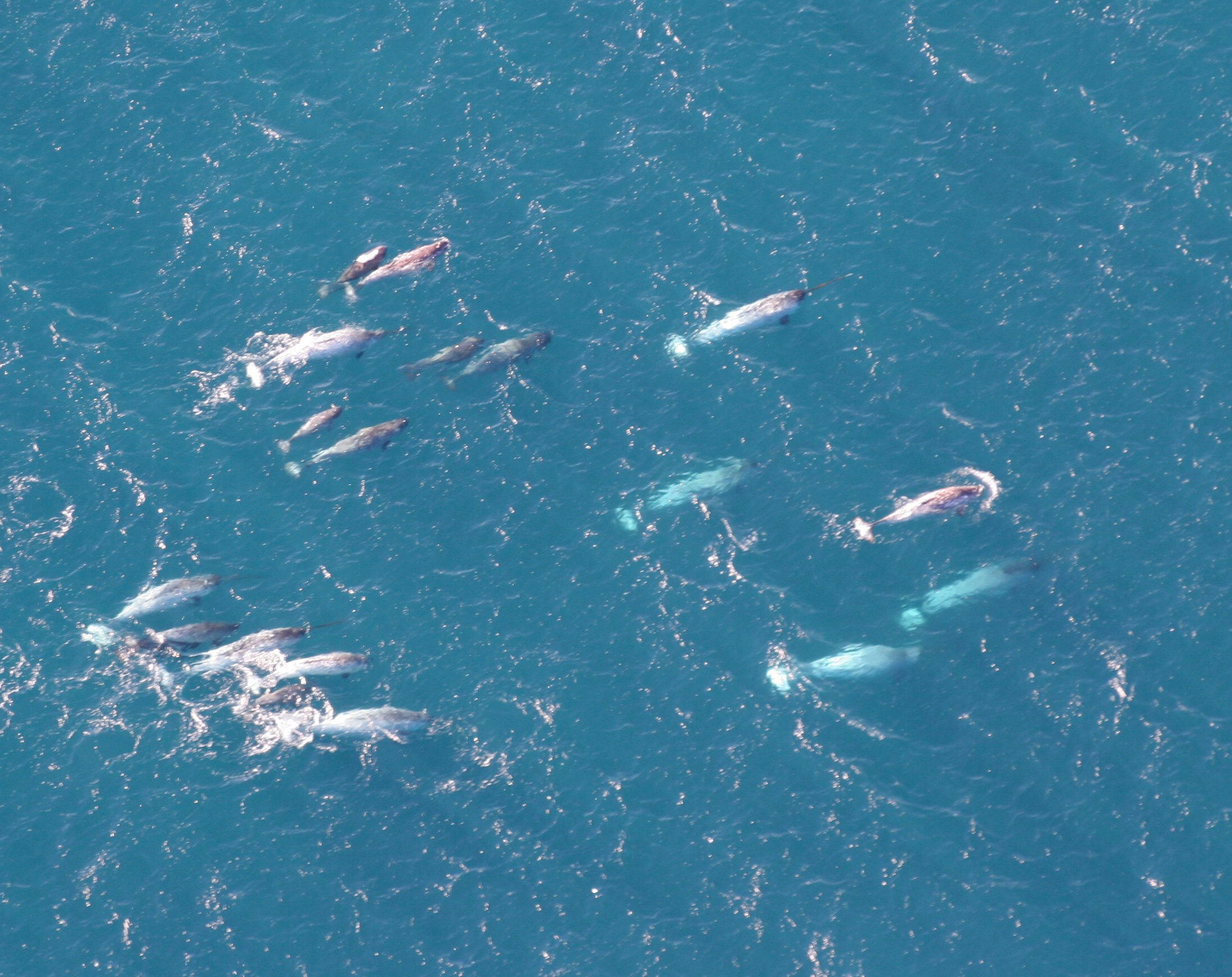
In 2010, for example, researchers at the University of Washington’s Polar Science Center published a paper in the Journal of Geophysical Research titled “Narwhals document continued warming of southern Baffin Bay.” As part of the study, 14 narwhals – medium-sized whales with a single, unicorn-like tusk – were equipped with pop-up satellite tags and released off the coast of Greenland. They revealed that the water in Baffin Bay was, on average, nearly a degree Celsius warmer than the existing climatology data claimed. The narwhal data also suggested that the thickness of the winter surface isothermal layer, a layer of constant temperature, was 50 to 80 meters thinner than previously thought.
This capability has proven particularly valuable in areas where traditional monitoring is difficult or dangerous. While models have improved for predicting intensity, up until recently they have lacked key observations from the boundary layer, mainly because it has been difficult and dangerous to obtain them from this area where the winds cause turbulent waves. AOML is now deploying a growing number of ocean-observing platforms that provide real-time satellite-transmitted data to capture pre-storm and hurricane conditions. Hurricane Gliders measure down to half a mile below the ocean surface, providing sustained observations to understand how ocean conditions fuel the storm.
Behavioral Changes as Weather Predictors
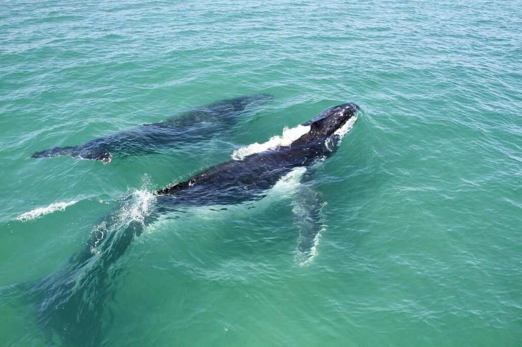
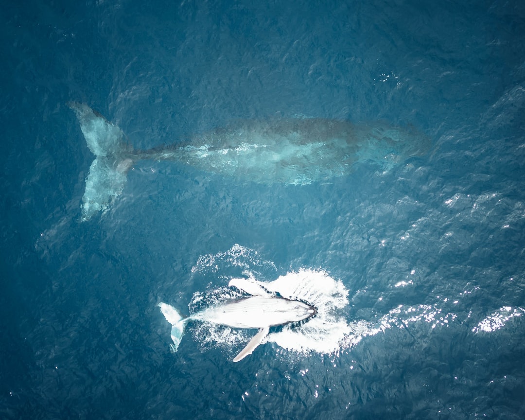
Whales use their keen senses to detect changes in water pressure and sound patterns. These shifts signal approaching storms. This early warning helps whales prepare and navigate away from dangerous areas, increasing their survival chances during hurricanes. These same sensory abilities that help whales survive can provide scientists with advance warning of changing conditions.
Whales dive to deeper, calmer waters below storm turbulence. They reduce movement to conserve energy and avoid injury. Staying in groups also helps them protect each other during intense weather conditions. These behavioral patterns, when tracked systematically, create predictive indicators of incoming weather systems.
Changes in whale vocalizations provide another layer of information. Researchers use underwater microphones to hear whales during hurricanes. These sounds tell us about whale activity and stress levels. Whales may change their calls or stop singing when storms approach. Listening helps scientists understand how whales cope with rough weather. The correlation between acoustic changes and atmospheric conditions offers meteorologists additional data points for forecasting.
Machine Learning and Pattern Recognition

Machine learning (ML) is transforming hurricane forecasting by finding subtle patterns in oceans of data that humans might miss. Recent advances in machine learning have shown promise for predicting rapid intensification events, which are notoriously difficult for traditional models, with some studies suggesting improved accuracy over legacy systems, a breakthrough for emergency management.
Machine learning models excel at recognizing recurring patterns in ocean currents, plankton blooms, and marine species behavior. For example, AI systems have successfully tracked whale populations by identifying their distinctive call patterns and movement behaviors across vast ocean areas. These capabilities allow researchers to process whale tracking data alongside meteorological information in ways previously impossible.
These AI systems can identify patterns that might be invisible to human researchers, such as subtle changes in migration timing due to ocean temperature fluctuations or shifts in prey distribution. For instance, researchers studying whale populations off the California coast have used AI to analyze decades of tracking data, revealing how shipping routes intersect with migration corridors and helping to reduce vessel strikes. The same analytical power applies to detecting atmospheric precursors in marine behavior data.
Collaborative Networks and Data Integration
In the Northeast Region, we have a network of passive acoustic recorders and autonomous gliders recording the presence of large whales from the shore to the shelf break, using archival recorders as well as in real time with our colleagues from Woods Hole Oceanographic Institution (WHOI) and Scripps Institution of Oceanography. This collaborative approach ensures comprehensive coverage of both marine life and oceanographic conditions.
The integration of multiple data streams has created unprecedented insights. The technology excels at processing multiple data streams simultaneously, combining information about ocean currents, water temperature, prey availability, and historical movement patterns to predict where different species are likely to interact. This capability has proven invaluable for identifying potential conflict zones between marine mammals and fishing operations, as well as pinpointing critical areas for conservation efforts.
But recently, scientists in other fields have discovered the value of this animal-derived data for their own research. Nowhere is this more visible than among those who study the ocean and its interactions with the climate. What has emerged is a global movement of marine scientists interested in using “animals as oceanographers,” as they often put it. This interdisciplinary approach represents a paradigm shift in environmental monitoring.
Global Applications and Success Stories
The world’s first ever global map of whale migration patterns has been published, shining a light on the “growing threats” to these endangered creatures of the deep, its authors say. Scientists have combined satellite tracking data from 845 whales, collected over 30 years, and mapped it alongside the various and growing dangers whales face, which they say show the bottleneck areas that need to be addressed most urgently. This comprehensive dataset provides meteorologists with global ocean condition indicators.
The Gulf of Maine witnessed another breakthrough when AI predictions helped local fisheries reduce their bycatch of endangered right whales by 70%. The model analyzed oceanographic data, whale migration patterns, and shipping routes to create real-time risk maps, allowing vessels to adjust their courses and fishing times accordingly. Similar risk mapping techniques can identify areas prone to rapid storm development.
The Protecting Blue Corridors platform has brought together three decades of data on where whales travel across the ocean and created moving maps. These can be used by to help decision-makers protect critical whale migration routes, known as blue corridors. These same corridors reveal patterns in ocean conditions that influence weather formation.
Challenges and Future Developments

Despite remarkable progress, significant challenges remain in correlating whale behavior with hurricane prediction. Climate change affects the oceans in many ways. Whales face new challenges as storms grow stronger. Understanding how whales survive hurricanes helps us protect them better. As climate change alters both whale migration patterns and storm behavior, the relationships scientists have identified may need constant recalibration.
These findings have important implications for long-lived species across systems and taxa, as long-range migrants conditioned by historical environmental processes may struggle in response to rapid environmental change. Finally, our study reveals that ecological theory of animal migrations is conserved across marine and terrestrial systems. The predictive value of whale behavior may diminish if climate change disrupts traditional migration patterns.
Technology limitations also present ongoing obstacles. While satellite tags have become smaller and more sophisticated, battery life and data transmission remain constraints. The challenge lies in maintaining continuous monitoring of whale populations while extracting real-time environmental data useful for weather forecasting. However, advances in sensor technology and satellite communications continue to expand possibilities for this innovative approach to storm prediction.
Conclusion

The discovery that can enhance hurricane forecasting represents one of the most elegant examples of interdisciplinary science in action. From a casual conversation on a golf course to sophisticated AI systems processing millions of data points, this field has evolved rapidly. Marine mammals, navigating by the same ocean conditions that fuel hurricanes, have become unwitting partners in protecting coastal communities from storm threats.
The future holds tremendous promise as technology continues to advance and our understanding of ocean-atmosphere interactions deepens. With climate change intensifying both storm activity and disrupting marine ecosystems, the need for innovative forecasting approaches has never been greater. The whales that have shared our planet for millions of years may ultimately help us navigate the storms of tomorrow.
What strikes you most about this unexpected partnership between marine biology and meteorology? The ingenuity of nature, or the creativity of the scientists who recognized its potential?