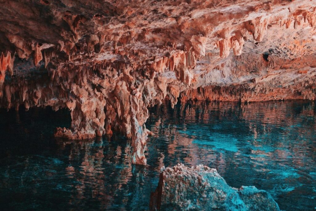
Imagine standing in a vast desert, the sun beating down, not a drop of water in sight. But beneath your feet, hidden from view, ancient rivers flow silently and the remains of massive prehistoric lakes still linger, shaping the landscape in ways we can barely comprehend. The notion that satellites, soaring hundreds of kilometers above us, can peer through rock, sand, and time itself to reveal these hidden waterways sounds like something from science fiction. Yet, it’s very much science fact—a dazzling blend of technology, curiosity, and the eternal human quest to understand our world’s buried secrets.
What Lies Beneath: The Mystery of Hidden Waterways
Underground rivers and buried lakes aren’t just relics; they’re lifelines for entire ecosystems and even civilizations. In places like the Sahara and the Australian Outback, there are whispers of water deep below, shaping the fate of cities, wildlife, and agriculture. For years, these hidden sources remained invisible, their presence guessed at through odd damp patches or ancient stories. Today, satellites have changed the way we search for water—turning the invisible into the visible, and transforming deserts into maps of forgotten rivers and sunken basins.
Peering Through the Surface: The Power of Remote Sensing
Satellites use a set of eyes far more powerful than our own. Remote sensing is the science of collecting information about Earth without direct contact. Instead of sending a shovel into the ground, we send beams of energy—like radar and infrared—from space, watching how they bounce back or change. These signals reveal secrets hidden beneath soil, sand, and stone. The tiniest change in color, temperature, or radio waves can signal the ghostly path of an ancient river or the outline of a lost lake, all from hundreds of kilometers up.
Radar’s Magic Touch: Seeing Through Sand and Rock
Synthetic Aperture Radar (SAR) is one of the most magical tools in a satellite’s toolbox. It blasts microwave signals that pass right through dry sand and bounce off buried features. When these microwaves hit something different—say, a layer of moist soil or gravel left by a prehistoric river—the signal changes. Scientists stitch together millions of these signals, creating ghostly images that reveal underground watercourses and ancient shorelines invisible to the naked eye. It’s a little like using an X-ray on the planet itself.
Gravity Mapping: Weighing the Earth to Find Water
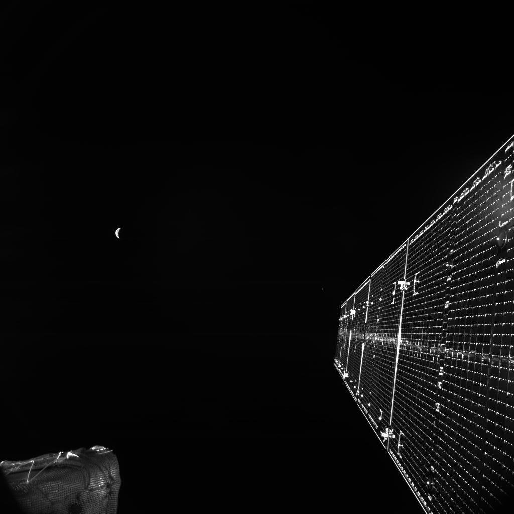
Gravity may seem dull, but satellites like the twin GRACE (Gravity Recovery and Climate Experiment) spacecraft have turned it into a detective tool. As these satellites orbit, they measure tiny changes in Earth’s gravity caused by water underground. A buried lake or a saturated aquifer weighs more than dry sand, tugging gently at the satellites as they pass overhead. By tracking these subtle wobbles, scientists can map where hidden water is stored beneath deserts, mountains, and plains.
Thermal Imaging: Sensing Heat to Uncover Wet Secrets
Water absorbs and releases heat differently than dry earth. Satellites equipped with thermal infrared sensors can detect subtle temperature changes on the ground’s surface. At night, moist soil cools down slower than dry sand. This creates temperature patterns—like a fingerprint—that betray the presence of underground streams, buried wetlands, or ancient lakebeds. It’s like looking for a warm patch on a cold winter night, except the “patch” might be a river that hasn’t seen the sky for thousands of years.
Electromagnetic Clues: The Role of Multispectral Imaging

Multispectral satellites see not just in visible light but in a rainbow of wavelengths, each carrying a different clue. Some minerals left behind by ancient lakes or rivers reflect certain wavelengths more than others. By analyzing this spectral data, scientists can spot telltale signs of past water, such as mineral deposits, salt crusts, or unique vegetation patterns. Even when nothing is left but a ghostly trace, satellites can read the story written in the rocks.
Desert Rivers Revealed: The Lost Channels of the Sahara
The Sahara Desert, now a sea of sand, once teemed with life and rivers. Using radar satellites, scientists have mapped huge, ancient river channels hidden beneath the dunes. These buried rivers, some wider than the Nile, are invisible on the surface but show up as clear as day in radar images. This discovery rewrites the history of North Africa and hints at hidden water resources that could be tapped for future generations. It’s a powerful reminder that today’s deserts were once green and flowing.
Hidden Lakes in Australia: Finding Water in the Outback

Australia’s vast Outback holds secrets of ancient mega-lakes that once dwarfed modern lakes in size. Satellites have uncovered the ghostly outlines of these buried basins, some stretching for hundreds of kilometers. By combining radar, gravity, and thermal data, researchers can pinpoint where water might still linger underground. For local communities and wildlife, these discoveries could mean new hope in a parched land—a lifeline from the past, revealed by technology.
The Ancient Nile: Tracing Lost Tributaries

The Nile is famous, but its past is even more fascinating. Satellite radar has helped archaeologists trace long-lost tributaries that once fed this mighty river. These hidden channels, now buried under desert, explain why ancient Egyptian settlements sprung up far from the modern riverbanks. The new maps are transforming our understanding of how people adapted to shifting water sources and how climate shaped the rise and fall of civilizations.
Oases from Orbit: Finding Life-Saving Water in Harsh Lands
For centuries, finding an oasis meant survival in the world’s harshest environments. Now, satellites can spot likely locations before a single well is dug. By looking for subtle shifts in gravity, temperature, and vegetation, scientists can predict where underground aquifers lie closest to the surface. This has already guided successful drilling in places like Libya and Saudi Arabia, bringing water to places once considered hopelessly dry.
Ancient Lake Mega-Chad: Africa’s Vanished Inland Sea

Lake Mega-Chad was once the largest lake on Earth, covering an area bigger than all of modern Germany. Today, it’s a shadow of its former self, but satellites have traced its ancient shorelines and mapped where its waters once lapped. Using radar and gravity data, geologists found thick layers of lake sediment buried under the sands of Chad, Niger, and Nigeria. These findings are reshaping our understanding of Africa’s climate history and the migrations of early humans.
Permafrost and Subglacial Lakes: Secrets Beneath the Ice

It’s not just deserts that hold hidden water. In the Arctic and Antarctic, satellites have detected lakes trapped deep beneath ice sheets and permafrost. These subglacial lakes are revealed by tiny changes in gravity and radar reflections bouncing off water channels under kilometers of ice. The discovery of these hidden lakes has stunned scientists, raising questions about life in extreme environments and even the possibility of similar hidden lakes on other planets.
The Role of Artificial Intelligence: Making Sense of the Data

Satellites collect a staggering amount of data every day. To make sense of it all, scientists increasingly rely on artificial intelligence (AI) and machine learning. These tools sift through endless streams of images and signals, spotting patterns humans might miss. AI can quickly flag likely locations for underground rivers or ancient lakes, speeding up discoveries and reducing the time it takes to turn satellite images into life-changing knowledge.
From Space to Shovel: Ground Truth and Exploration
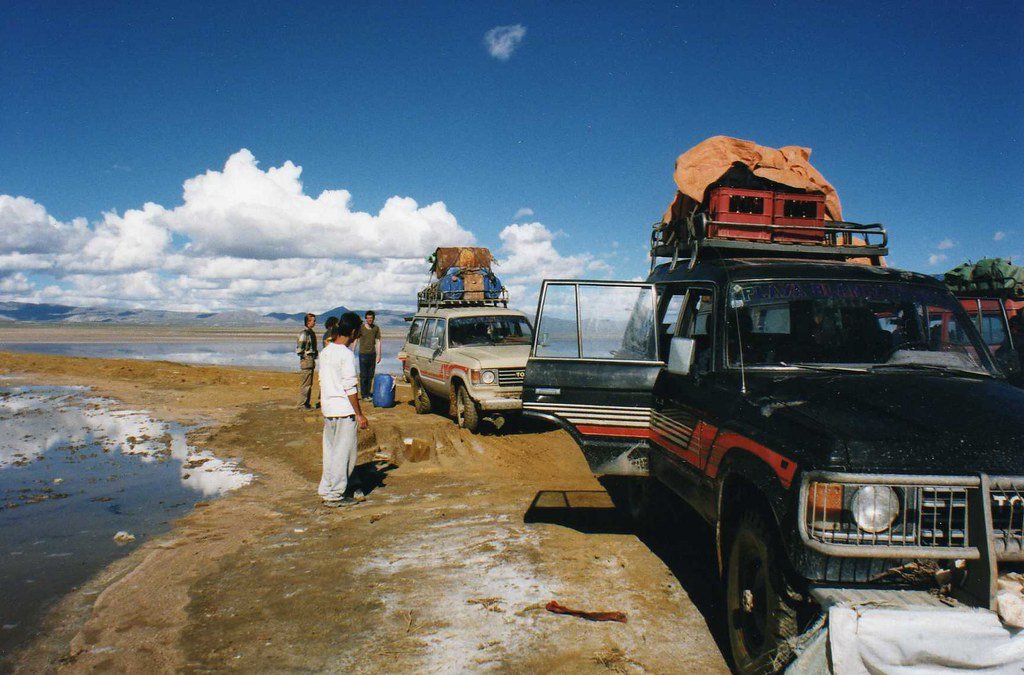
No matter how powerful satellites are, their findings need to be confirmed on the ground. Once satellites highlight a suspicious feature, scientists use drilling, ground-penetrating radar, and other methods to check if water really lies below. This “ground truth” process turns space-age discoveries into practical resources—sometimes finding new wells or even entire underground lakes that change the lives of people living above.
Unexpected Discoveries: Ancient Human Settlements

Sometimes, the search for underground water leads to even more astonishing finds. Satellite imagery has revealed patterns left by ancient human settlements clustered along long-lost rivers and lakes. This has helped archaeologists locate cities, tombs, and roads buried by time and sand. The technology turns the whole planet into an open-air museum, with satellites uncovering the footprints of our ancestors hidden beneath our feet.
The Challenges of Satellite Detection
Detecting underground water from space isn’t easy. Thick vegetation, urban development, and certain types of rock can mask signals or create confusing patterns. It takes a careful blend of technologies and lots of cross-checking to avoid mistakes. Weather, atmospheric dust, and even solar storms can interfere with satellite sensors. Scientists are constantly refining their methods to see deeper, clearer, and more accurately into the world below.
Why It Matters: Water Security and Climate Change

As climate change reshapes rainfall and water supplies, finding new sources of water is more important than ever. Satellites give us a powerful way to locate hidden reserves and better manage our natural resources. They help us predict droughts, monitor shrinking lakes, and understand the long-term changes in our environment. In a world facing a water crisis, these space-age tools could be the difference between scarcity and survival.
Global Collaboration: A Worldwide Effort

No single country or scientist can search for hidden water alone. International projects, like the European Space Agency’s Sentinel mission and NASA’s Earth Observing System, share data and expertise across borders. This global collaboration speeds up discoveries and ensures that knowledge about Earth’s buried waters benefits everyone. It’s a reminder that what lies beneath our feet connects us all, no matter where we live.
The Future: New Technologies on the Horizon
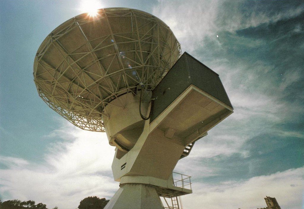
The next generation of satellites will see even deeper and clearer. With advances in hyperspectral imaging, quantum sensors, and constellations of tiny satellites, scientists hope to map the planet’s hidden water in stunning detail. Some are even working on satellites that can “listen” for underground water by detecting faint vibrations. The future promises a world where the secrets of the earth are revealed in real time, guiding everything from farming to disaster relief.
Inspiring Curiosity: The Wonder of the Unseen World
The idea that rivers can flow unseen and lakes can persist for millennia beneath our feet is both humbling and inspiring. Satellites have given us new eyes, letting us glimpse the hidden veins of our planet. It’s a reminder that the greatest mysteries aren’t always in the stars—they’re often just beneath the surface, waiting for curious minds to find them. Who knows what astonishing secrets the next satellite pass will reveal?

