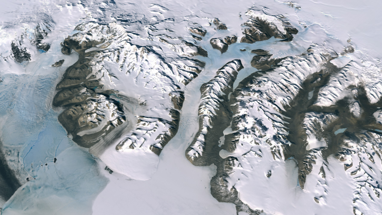
A Surprising Snapshot from Millennia Past (Image Credits: Upload.wikimedia.org)
East Antarctica – Scientists have uncovered evidence that relative sea levels in the region stood 30 meters above present levels around 8,000 years ago, marking a stark contrast to the current low-water era.
A Surprising Snapshot from Millennia Past
Researchers piecing together Earth’s climatic history struck upon a revelation: 8,000 years ago, the coastal fringes of East Antarctica experienced sea levels far exceeding those of today. This finding emerged from an analysis of geological proxies, including the remnants of ancient penguin colonies abandoned as waters receded. The study highlighted how these sites, now elevated far above the ocean, preserved a record of dramatic environmental shifts. Carbon dating placed the peak at approximately 30 meters higher than modern benchmarks, challenging assumptions about the stability of Antarctic ice over recent millennia.
The evidence pointed to a time when the Antarctic Peninsula and surrounding areas supported thriving ecosystems adapted to higher waters. As ice sheets adjusted post the last glacial maximum, these elevated sea levels reflected a warmer interglacial period. Today’s measurements, by comparison, represent the lowest point in thousands of years, underscoring the variability of polar climates. This discovery reframes our understanding of how quickly polar regions can transform.
Tracing the Steep Descent
Following the highstand 8,000 years ago, sea levels in East Antarctica began a pronounced drop, plummeting at rates between 4 and 10 meters per millennium. By 7,200 years ago, waters had fallen to 24 meters above present levels, continuing downward to 15 meters by 5,700 years ago. Further decline brought levels to 5 meters above modern seas around 3,200 years ago, and just 1 meter higher about 800 years back. Such rapid changes likely stemmed from isostatic rebound, where the Earth’s crust rose after shedding the weight of ancient ice sheets.
This progression illustrates the dynamic interplay between ice dynamics and global temperatures during the Holocene epoch. Proxy data from marine sediments and fossilized shorelines corroborated the timeline, showing a consistent pattern of regression. The retreat reshaped coastlines, stranding habitats and altering marine life distributions. Understanding this descent provides crucial context for modeling contemporary ice behaviors.
Lessons from Polar Proxies
Scientists relied on a suite of indicators to reconstruct these ancient conditions, from dated organic remains in raised beaches to isotopic signatures in ice cores. Abandoned penguin rookeries served as key markers, their elevations directly tying past sea levels to current topography. Complementary studies from nearby regions, like the South Shetland Islands, echoed the trend, with evidence of a 10-meter drop in the last millennium alone. These methods, combining fieldwork and laboratory analysis, offered a robust dataset spanning over 8,000 years.
The integration of such proxies revealed not just levels but also the pace of change, informing broader paleoclimate models. Variations across East Antarctica suggested localized influences, like bedrock responses, amplified the effects. This multifaceted approach strengthened the study’s credibility, bridging gaps in direct observational records from prehistory.
- Carbon-dated penguin colony sites indicated initial highstand at 30 meters above present.
- Marine sediment layers tracked the 4-10 meter per millennium decline.
- Fossilized shorelines confirmed levels at 1 meter above modern by 800 years ago.
- Isotopic data from ice cores supported warmer conditions during the peak.
- Regional comparisons, such as South Shetland Islands, showed parallel regressions.
Connecting Past to Present Climate Challenges
The findings from East Antarctica resonate with ongoing global concerns over sea level rise driven by human-induced warming. While ancient drops resulted from natural rebound, today’s accelerating melt from ice sheets poses inverse risks, potentially reversing millennia of decline. The study, detailed in recent publications, emphasizes how polar regions amplify climatic signals, with implications for coastal vulnerabilities worldwide. For instance, the rapid historical falls highlight the potential speed of future inundations if Antarctic stability falters.
Experts note that these historical insights refine predictive models, aiding preparations for rising oceans. The contrast between past highs and current lows serves as a reminder of the continent’s sensitivity to temperature fluctuations. As research continues, such data will guide international efforts to mitigate climate impacts. For more on the study, see the analysis at Climate Change Dispatch.
Key Takeaways
- Relative sea levels peaked 30 meters higher 8,000 years ago due to post-glacial adjustments.
- Decline rates of 4-10 meters per 1,000 years reshaped East Antarctic coastlines.
- Current levels mark the lowest in millennia, heightening concerns over modern rises.
In reflecting on East Antarctica’s watery past, one clear message emerges: polar environments hold secrets to our planet’s resilience and fragility. As we navigate accelerating climate shifts, these ancient records urge proactive stewardship to safeguard vulnerable shores. What insights from this history resonate most with you? Share your thoughts in the comments below.

Jan loves Wildlife and Animals and is one of the founders of Animals Around The Globe. He holds an MSc in Finance & Economics and is a passionate PADI Open Water Diver. His favorite animals are Mountain Gorillas, Tigers, and Great White Sharks. He lived in South Africa, Germany, the USA, Ireland, Italy, China, and Australia. Before AATG, Jan worked for Google, Axel Springer, BMW and others.