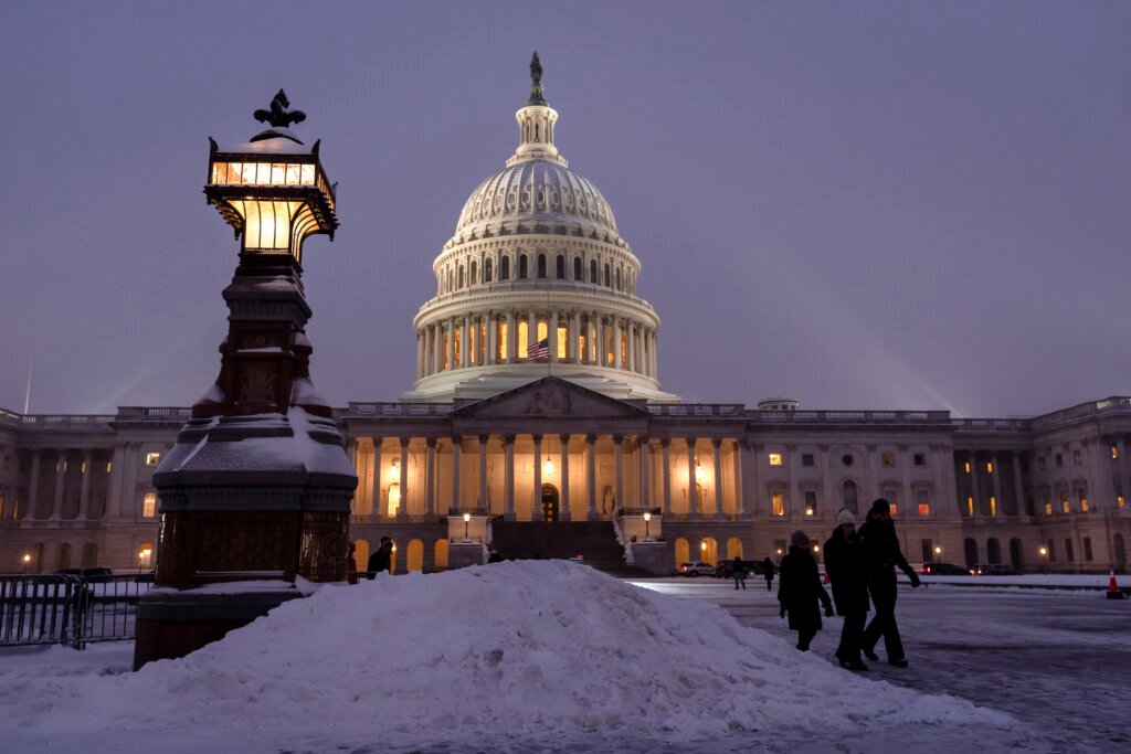
Transition from Mix to Measurable Snow (Image Credits: Wtop.com)
Washington, D.C. – A coastal storm system promises a messy mix of precipitation across the capital region Sunday, evolving from rain into accumulating snow by evening.[1][2]
Transition from Mix to Measurable Snow
Rain dominated early Sunday before giving way to a rain-snow mix through the afternoon. Temperatures hovered in the mid-30s, limiting initial buildup on roads.[2]
The shift to all snow occurred after 8 p.m., with northwest winds picking up to 13-18 mph and gusts reaching 31 mph. Overnight lows dipped to around 32 degrees, favoring sticking flakes. Forecasters noted heaviest rates north and east of the city.[1][3]
7News First Alert Meteorologist Jordan Evans warned that roads would turn slick Sunday night as visibility dropped during the snowfall. Conditions improved Monday morning as the system departed, though blustery winds lingered.[1]
Snow Totals Vary by Location
Most areas inside the Capital Beltway faced 2 to 5 inches by Tuesday morning. The District itself projected around 3-4 inches, while northern and eastern suburbs saw higher figures.[4][1]
| Area | Expected Snow |
|---|---|
| District of Columbia | 3-4 inches |
| Leesburg, VA | 5-6 inches |
| Annapolis, MD | Up to 8 inches |
| Farther east MD | 10+ inches possible |
National Weather Service models supported 2-4 inches overnight near the city center, with lesser amounts continuing into Monday.[2]
Alerts Signal Caution
Winter Weather Advisories covered the core DMV through Monday morning, urging preparedness for slick conditions. A Winter Storm Warning targeted Montgomery County from 3 p.m. Sunday to 10 a.m. Monday, with Blizzard Warnings farther east.[1]
Officials declared states of emergency in parts of Maryland and activated cold weather plans in D.C., including hypothermia shelters. Road crews pretreated major routes starting noon Sunday, while some transit services adjusted schedules.[1]
Preparation Tips for Residents
Local authorities recommended several steps to navigate the storm safely.
- Park vehicles in driveways or on even-numbered street sides to aid plowing.
- Stock essentials like food, water, and medications for potential outages.
- Charge devices and keep blankets handy for cold snaps.
- Monitor school closings, as delays loomed for Monday.
- Avoid travel during peak snow unless necessary.
Power companies prepared for gusts up to 35 mph, which could down lines in heavier-hit zones.
Key Takeaways
- Snowfall peaks Sunday night with 2-4 inches likely near D.C.
- Gusty winds and lows in the 20s-30s amplify hazards into Monday.
- Check local alerts for updates on travel and services.
This latest winter event underscores the region’s variable late-February weather, blending mild starts with sudden chills. Stay informed as totals refine. What impacts are you preparing for? Share in the comments.