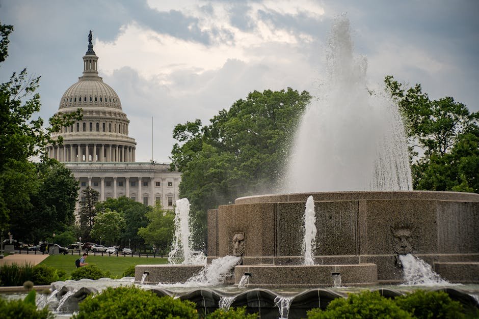
Sunday Delivers Ideal Spring Weather (Image Credits: Pexels)
Washington, D.C. – The nation’s capital and surrounding DMV region experienced a comfortable, dry Sunday with temperatures climbing into the 70s under partly sunny skies. Breezy conditions added a refreshing touch to the afternoon, as high pressure shifted offshore. Forecasters noted this mild start signals a rapid warmup, with highs potentially nearing April records by mid-week.[1]
Sunday Delivers Ideal Spring Weather
Residents across the DC, Maryland, and Virginia area woke to pleasant conditions on April 12. Highs reached the 70s amid a mix of sun and clouds, with east winds blowing at 6 to 11 mph and gusting up to 20 mph. The dry air kept humidity comfortable, making it a prime day for outdoor activities.
Evening transitioned smoothly into partly cloudy skies overnight. Lows settled in the upper 50s, as winds turned southwest at 9 to 11 mph with gusts to 20 mph. No precipitation disrupted the pattern, aligning with the high pressure’s influence.[1]
Warmup Accelerates Monday and Tuesday
Monday brought the first notable surge in temperatures. Highs climbed into the mid- to upper 80s under mostly cloudy skies, accompanied by southwest winds at 11 to 17 mph gusting to 30 mph. A slight chance of isolated showers appeared west of the city, though most areas stayed dry.
Tuesday continued the trend with partly cloudy conditions and highs in the upper 80s to lower 90s. Breezy southwest winds at 6 to 13 mph, gusting to 25 mph, prevailed. Lows rose to the mid- to upper 60s overnight, setting the stage for even hotter days ahead.[1]
Mid-Week Nears Record Territory
The hottest stretch arrived Wednesday and Thursday. Partly cloudy to mostly cloudy skies accompanied highs in the upper 80s to lower 90s both days—potentially the first 90-degree readings of 2026 in the region. Southeast winds remained light at 2 to 9 mph, allowing heat to build unchecked.
Lows crept into the upper 60s to lower 70s, with dry conditions dominating. Such temperatures approach historical April benchmarks, where daily highs typically range from the low 60s early in the month to the low 70s later.[2][1]
Extended Forecast Signals Continued Warmth
Friday offered partial relief with partly sunny skies and highs in the 80s. Northwest winds at 3 to 7 mph kept conditions breezy. Lows dipped to the lower to upper 60s.
Saturday projected upper 80s under partly cloudy skies. A slight chance of rain loomed for the following weekend, but the work week stayed largely dry overall.[1]
| Day | High/Low (°F) | Conditions |
|---|---|---|
| Sunday | 70s / upper 50s | Partly sunny, breezy |
| Monday | Mid-upper 80s / 60s | Mostly cloudy, breezy |
| Tuesday | Upper 80s-90s / mid-upper 60s | Partly cloudy, breezy |
| Wednesday | Upper 80s-90s / upper 60s-70s | Partly cloudy |
| Thursday | Upper 80s-90s / mid 60s-70s | Mostly cloudy |
| Friday | 80s / 60s | Partly sunny |
Key Takeaways:
- Sunday’s 70s provided a gentle introduction to spring warmth.
- Mid-week highs in the low 90s could challenge early April norms.
- Mostly dry through Friday, with light winds aiding the heat buildup.
This forecast underscores a classic spring pattern in the DMV: a quick shift from mild to hot. Stay prepared for the surge in temperatures. What are your plans for these warmer days? Share in the comments.