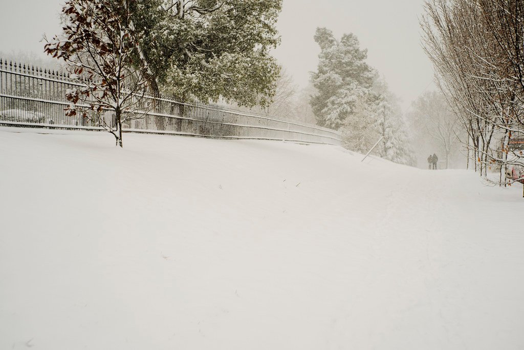
Relentless Morning Cold Grips the Capital (Image Credits: Flickr)
Washington D.C. area – A stubborn pocket of Arctic air prolonged bitter conditions across the region Sunday, pushing wind chills into the teens and below zero during the early hours.
Relentless Morning Cold Grips the Capital
Mostly cloudy skies combined with brisk northwest winds locked daytime highs in the low to mid-20s. Cold weather alerts stayed active through the morning as gusts reached 25 to 30 mph.
Residents faced feels-like temperatures in the single digits, prompting cautions for exposed skin and limited outdoor activity. The National Weather Service maintained warnings to highlight the persistent chill factor.
Winds began to ease by afternoon, though air temperatures refused to climb above freezing. This marked another day under the influence of the same Arctic surge that delivered subzero sensations earlier in the weekend.
Overnight Lows Test Endurance Limits
Clearing skies ushered in another frigid evening, with overnight lows forecasted between 5 and 15 degrees. Lighter northwest breezes at 5 to 10 mph still produced wind chills hovering near zero.[1]
Such conditions demanded protective measures for pipes, plants, and pets alike. The combination of clear skies and calm winds amplified radiational cooling effects.
Meteorologists noted the setup resembled classic winter nights in the Mid-Atlantic, where ground temperatures plummeted rapidly after sunset.
Warmup Signals Emerge Midweek
A gradual thaw appeared on the horizon starting Monday. Partly cloudy conditions and light west winds nudged highs into the upper 20s and low 30s, hovering near the freezing mark.[1]
Tuesday promised more progress under mostly sunny skies, with temperatures climbing to the low to mid-40s and south winds at 5 mph. 7News First Alert Meteorologist Jordan Evans highlighted this shift as the onset of noticeable relief.
Wednesday stood out as the week’s mildest, potentially reaching the upper 40s to near 50 degrees amid increasing clouds. Evening showers carried a chance of light precipitation, signaling a return toward seasonal norms.
| Day | Conditions | Highs | Winds |
|---|---|---|---|
| Sunday | Mostly cloudy, breezy | 22-26 | NW 5-15 mph, gusts 25-30 |
| Sunday Night | Mostly clear | Lows 5-15 | NW 5-10 mph |
| Monday | Partly cloudy | 29-33 | W 5 mph |
| Tuesday | Mostly sunny | 40-45 | S 5 mph |
| Wednesday | Mostly cloudy, evening showers | 45-50 | NW 10 mph |
- Wind chills drop below zero Sunday night; layer up and limit exposure.
- Cold alerts persist through morning; check local updates for travel.
- Midweek warmup to 40s and 50s eases the freeze by Wednesday.
The Arctic outbreak tested the region’s winter resilience, but incoming milder air offered hope for normalization. Forecasters urged vigilance through Monday before easing precautions. How are you staying warm during this chill? Share in the comments below.