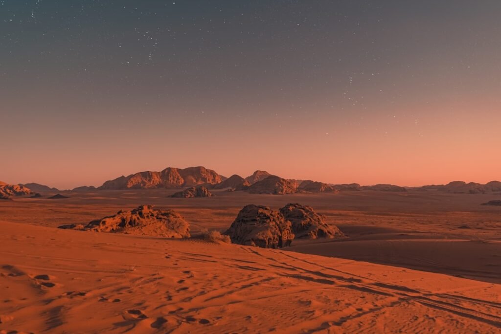

From Orbital Enigma to Ground Truth (Image Credits: Unsplash)
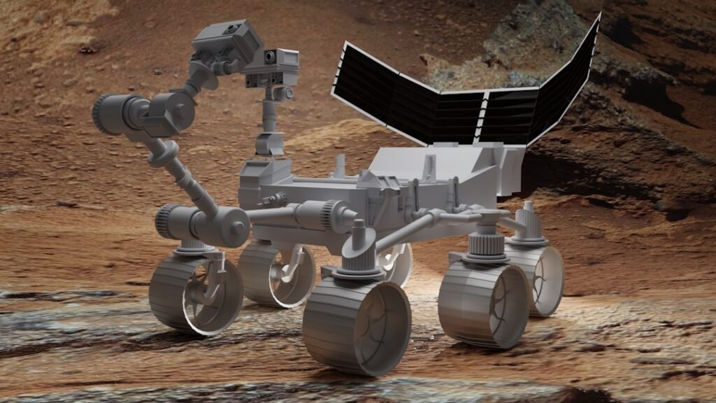
Gale Crater, Mars – NASA’s Curiosity rover delivered unprecedented close-up observations of sprawling boxwork formations during a six-month exploration of Mount Sharp’s rugged slopes.
From Orbital Enigma to Ground Truth
These geologic patterns captivated scientists long before Curiosity touched down in 2012. Visible from orbit, the ridges formed web-like networks stretching miles across the surface. The rover’s arrival marked the first opportunity to inspect them directly.
Boxwork consists of low ridges, some mere inches high and others reaching 3 to 6 feet (1 to 2 meters), separated by sandy hollows. A recent panorama captured by the rover’s Mastcam on September 26, 2025, highlighted their fractured, curblike appearance.[1]
How Groundwater Sculpted Ancient Ridges
Researchers propose that groundwater seeped through bedrock fractures billions of years ago. Minerals deposited in these cracks hardened like cement, fortifying select areas into resilient ridges. Relentless Martian winds then eroded the unprotected rock, exposing the intricate lattice.[1]
Pea-sized nodules, imaged on August 21, 2025, offer further evidence of drying groundwater. Dark lines spotted in orbital photos proved to be central fractures upon closer examination. Unlike Earth’s smaller cave-bound versions, Mars’ boxwork towers dramatically in open terrain.[2]
| Aspect | Earth Boxwork | Mars Boxwork |
|---|---|---|
| Height | Few centimeters | Up to 6 feet (2 meters) |
| Location | Caves, dry sands | Surface, Mount Sharp |
| Scale | Localized | Miles-wide networks |
Driving Challenges Amid Delicate Structures
The SUV-sized rover, weighing nearly a ton (899 kilograms), traversed narrow ridge tops barely wider than itself. Operators faced slippery sands in hollows and potential wheel slips. “It almost feels like a highway we can drive on. But then we have to go down into the hollows, where you need to be mindful of Curiosity’s wheels slipping or having trouble turning in the sand,” said Ashley Stroupe, operations systems engineer at NASA’s Jet Propulsion Laboratory.[1]
Team members tested multiple paths to succeed. This sulfate-rich layer on the 3-mile-tall (5-kilometer) Mount Sharp records Mars’ shift from wetter eras to desiccation.[3]
Probing Samples for Life’s Clues
Curiosity collected four rock samples from the area. Analyses revealed clay minerals atop ridges and carbonates in hollows. A fourth underwent wet chemistry to detect organics, vital for assessing ancient habitability.[1]
Calcium sulfate veins surprised scientists, absent higher up the mountain until now. “Seeing boxwork this far up the mountain suggests the groundwater table had to be pretty high. And that means the water needed for sustaining life could have lasted much longer than we thought looking from orbit,” noted Tina Seeger of Rice University.[1]
- Ridges indicate late-stage groundwater, extending potential microbial windows.
- Nodules and veins signal multiple water episodes.
- Samples yield clays, carbonates, and sulfate clues to drying climate.
- Unique to this Mount Sharp layer, unlike lower clay-rich zones.
Key Takeaways
- Boxwork points to prolonged subsurface water on ancient Mars.
- First close-ups confirm orbital theories on mineral cementation.
- Sample analyses hint at organics, advancing habitability search.
Mount Sharp’s layers chronicle Mars’ transformation from lake-dotted world to arid desert. Curiosity’s boxwork findings reshape timelines for habitable conditions, urging deeper investigation into the Red Planet’s lost waters. What insights might future samples unlock? Share your thoughts in the comments.