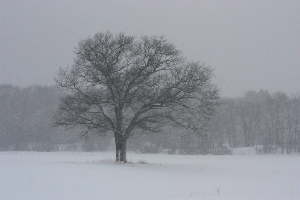
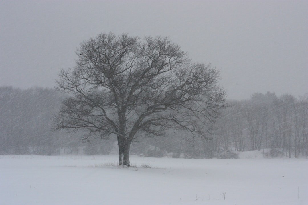
Sierra Nevada Grapples with Blizzard Conditions (Image Credits: Unsplash)
California – Powerful Pacific storms swept across the state this week, dumping heavy snow in the Sierra Nevada mountains and triggering widespread rainfall in Southern California.
Sierra Nevada Grapples with Blizzard Conditions
Intense snowfall transformed the Sierra Nevada into a winter wonderland fraught with danger. Accumulations exceeded 28 inches in a single day at the University of California Berkeley’s Central Sierra Snow Lab near Donner Pass, with forecasts calling for another 3 feet over the next two days.[1][2]
Avalanche warnings blanketed the region through early Wednesday, as the Sierra Avalanche Center warned of a widespread natural avalanche cycle.[1] Backcountry skiers went missing near Castle Peak following an avalanche, prompting search efforts amid whiteout conditions. Higher elevations above 6,000 feet faced 3 to 5 feet of snow, with up to 7 feet possible at the peaks.[1]
Ski resorts around Lake Tahoe shut lifts due to high winds and poor visibility. The storms marked the coldest system of the season, with snow levels dropping as low as 750 feet in some foothills.[2]
Southern California Endures Heavy Downpours
Lower elevations in the south saw relentless rain, shattering daily records in places like Stockton and Modesto.[3] Los Angeles County issued flash flood warnings for millions, particularly near burn scars from recent wildfires such as Palisades and Eaton.[1] Urban flooding submerged streets in Westwood and halted traffic on the I-405 near Sawtelle.
Coastal areas recorded 1 to 3 inches of rain, while foothills and mountains braced for up to 5 inches more. Thunderstorms added to the chaos, with wind gusts reaching 81 mph in the Malibu Hills.[2] Evacuation warnings targeted vulnerable zones, as officials positioned fire and rescue teams for potential mud and debris flows.
Major Travel Disruptions Sweep the State
Roads turned treacherous under the assault. Interstate 80 closed from Colfax to the Nevada line due to spinouts and heavy snow.[1] A 45-mile stretch of Highway 1 remained shut near Big Sur after landslides, with additional closures on the Pacific Coast Highway and state route 27 in Topanga Canyon.[2]
Impacts extended to theme parks, as Six Flags Magic Mountain and Knott’s Berry Farm closed early. Yosemite National Park required tire chains and dismantled pedestrian routes to viewing areas.[1] Power flickered out at Stanford University for about two hours after a transmission line failed.
- Interstate 80: Closed near Nevada border due to crashes and snow.
- Highway 1: Multiple sections shut from landslides.
- I-5 Grapevine: Potential closures from snow.
- Lake Tahoe resorts: Lifts halted amid winds.
- US-101: Tree fall blocked lanes in Santa Barbara County.
Snowpack Boost Offers Glimmer of Relief
Beneath the hazards lay a silver lining. The storms delivered much-needed snow to a Sierra snowpack hovering at 53 percent of average.[2] Forecasts predicted 5 to 8 feet across higher peaks through late week, aiding drought recovery efforts across the West.[4]
Additional rounds arrived Tuesday and Thursday, with rain tapering to showers by Friday. Winds up to 60-70 mph complicated conditions in southern mountains.[1]
Key Takeaways
- Up to 8 feet of snow forecast for Sierra Nevada peaks, boosting vital snowpack.
- Flash floods and mudslides threaten burn scar areas in Southern California.
- Major highways like I-80 and Highway 1 face prolonged closures.
These back-to-back storms underscored California’s volatile winter weather, blending peril with essential moisture. Travelers and residents alike prepared for lingering effects into the weekend. What impacts have you seen from these storms? Tell us in the comments.