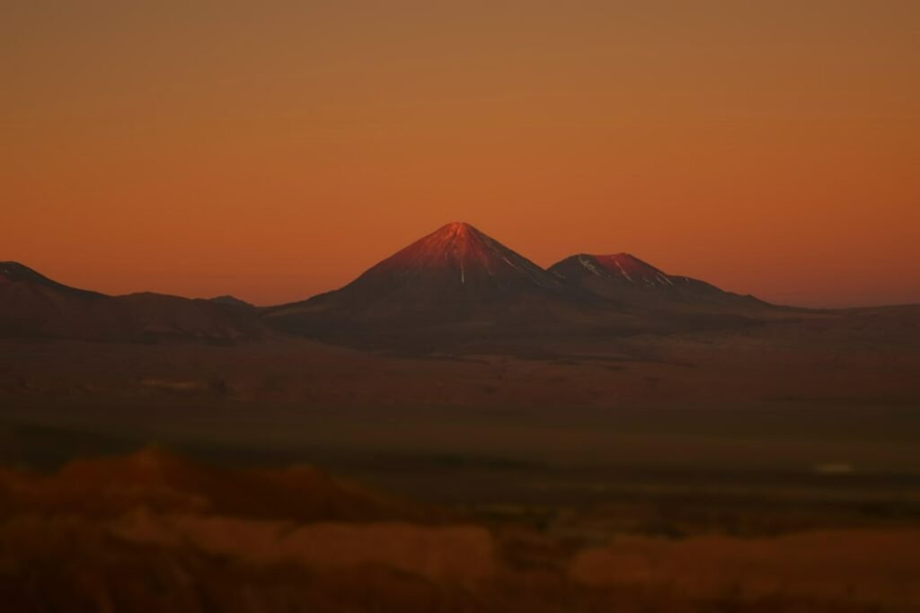
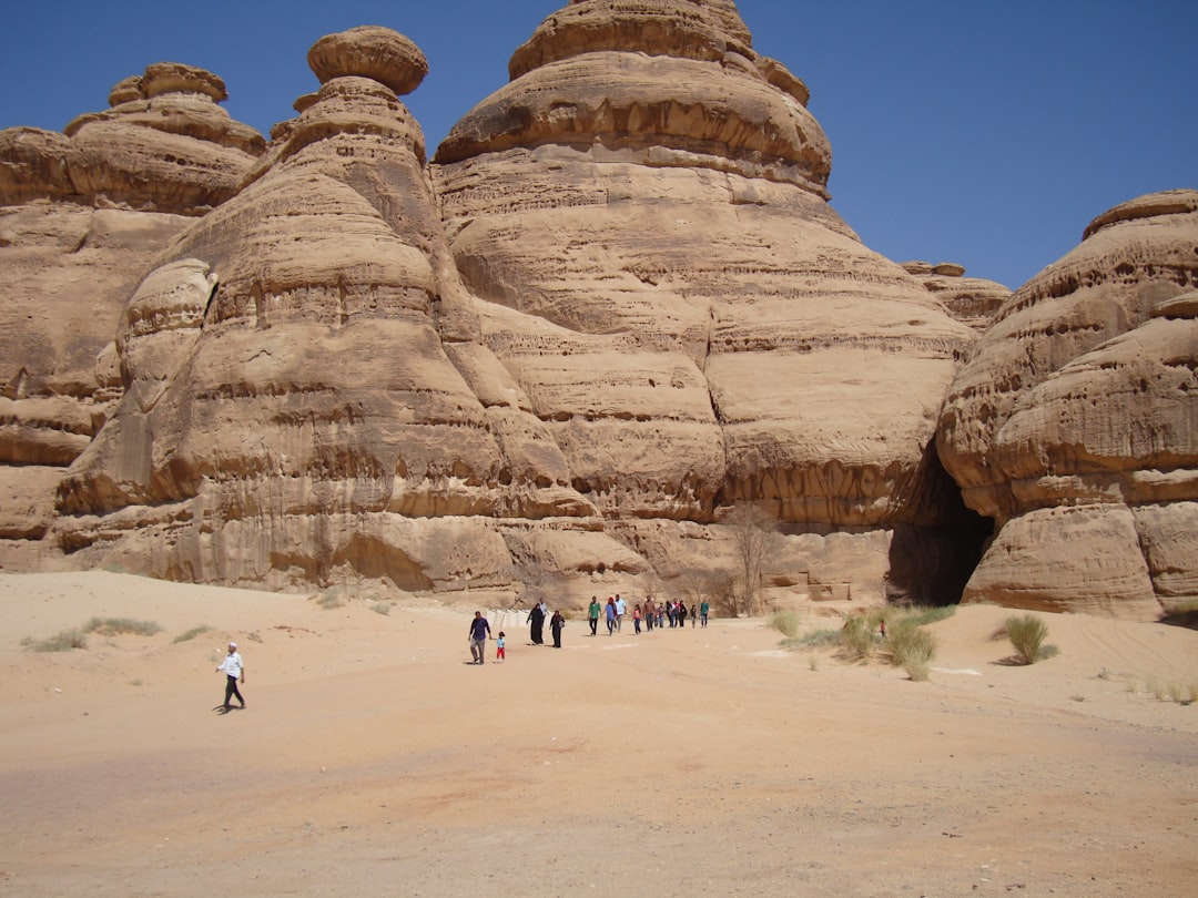
The has a way of swallowing stories. Wind piles silt where doorways once stood, lakes rise and fall, and a century later a mapped ruin becomes a rumor. Now, ground-penetrating radar is turning rumor back into evidence, tracing faint signatures of ancient ceremonial spaces sealed beneath playas and alluvial fans. The drama isn’t about gold or ghost towns; it’s about pattern – circles, alignments, and open courts that only appear when high-frequency pulses sketch the subsurface. The mystery isn’t solved yet, but for the first time in decades, the map of sacred Nevada is expanding without lifting a single trowel.
The Hidden Clues
What if the most resilient architecture in Nevada was never meant to be seen? In recent surveys, radargrams – those grayscale slices of the earth – have lit up with tidy rings and corridors where the ground looks like empty gravel to the naked eye.
Dry, low-conductivity soils help the signals travel, so features a couple of yards down can suddenly stand out as clean arcs or rectilinear edges. Archaeologists read these like cardiologists read an EKG, looking for repeating rhythms rather than isolated spikes.
The emerging picture is cautious but thrilling: not towering stone shrines, but planned gathering spaces – dance grounds, processional paths, and cleared courts shaped by intention. In the , absence can be a kind of architecture too.
From Ancient Tools to Modern Science
For much of the twentieth century, Great Basin archaeology hinged on sherds, scrapers, and the rare exposed floor. Excavation was the language of proof, and every trench was a gamble against erosion and time.
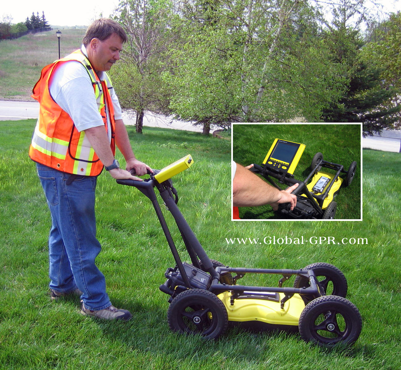
GPR changes the sequence: survey first, then selectively sample. Crews grid a playa with tapes, push a radar cart in slow lanes, and convert returning reflections into depth slices that look like stacked aerial photos.
When several horizons agree – say, a circular anomaly repeating at multiple depths – the probability of a built feature climbs. It’s like tuning an old radio until a station snaps into focus; the static never vanishes, but the signal takes the lead.
What the Radar Sees
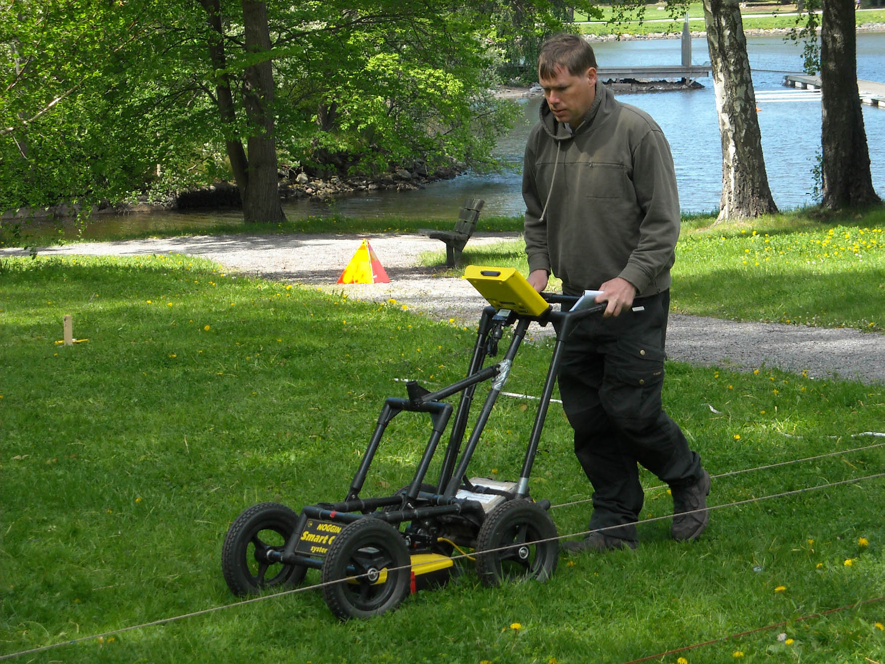
Ground‑penetrating radar doesn’t photograph walls; it measures contrasts in the soil’s electrical properties. Dry sand, compacted clay, buried rock rings, and organic-rich fill each bend the signal differently, and those differences trace shapes.
In Nevada’s basins, the most evocative signatures so far are broad, low-amplitude rings and straight runs bounded by sharper reflections – forms consistent with cleared courts edged by stones or posts, and with linear avenues worn hard by many feet. Think of it as negative sculpture: the built space is the “empty” middle, the clues are at the edges.
No responsible team declares a temple from a single scan. They layer in magnetometry, drone mapping, and targeted coring to test the interpretation, building evidence the way a careful hiker stacks cairns to mark a route.
The That Remembers
Nevada’s sacred geography didn’t begin with ghost towns or boom camps. Along the Muddy River terraces and the old shorelines of Pleistocene Lake Lahontan, people gathered for ceremony, trade, and renewal long before modern roads cut the valley floors.
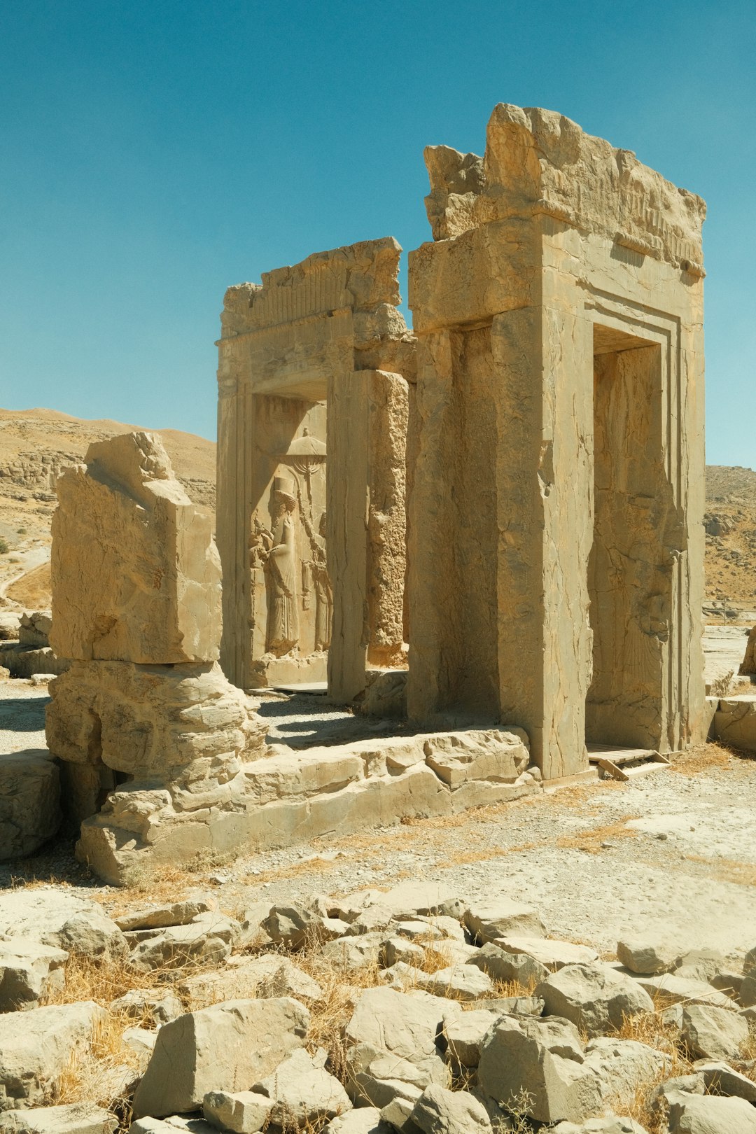
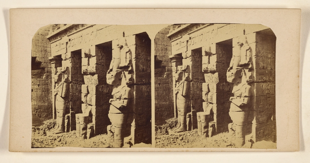
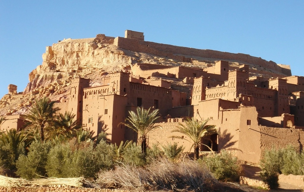
Some places still show their history above ground – rooms of the so‑called Lost City, petroglyph fields, and eroded pithouses that survived by sheer luck. Others were leveled by floods, buried by dune sheets, or submerged and then stranded by moving shorelines.
What GPR offers the region is a way to hear the quieter sites: formal spaces that were swept clean, used often, and covered gently. The can erase walls; it struggles to erase patterns.
Why It Matters
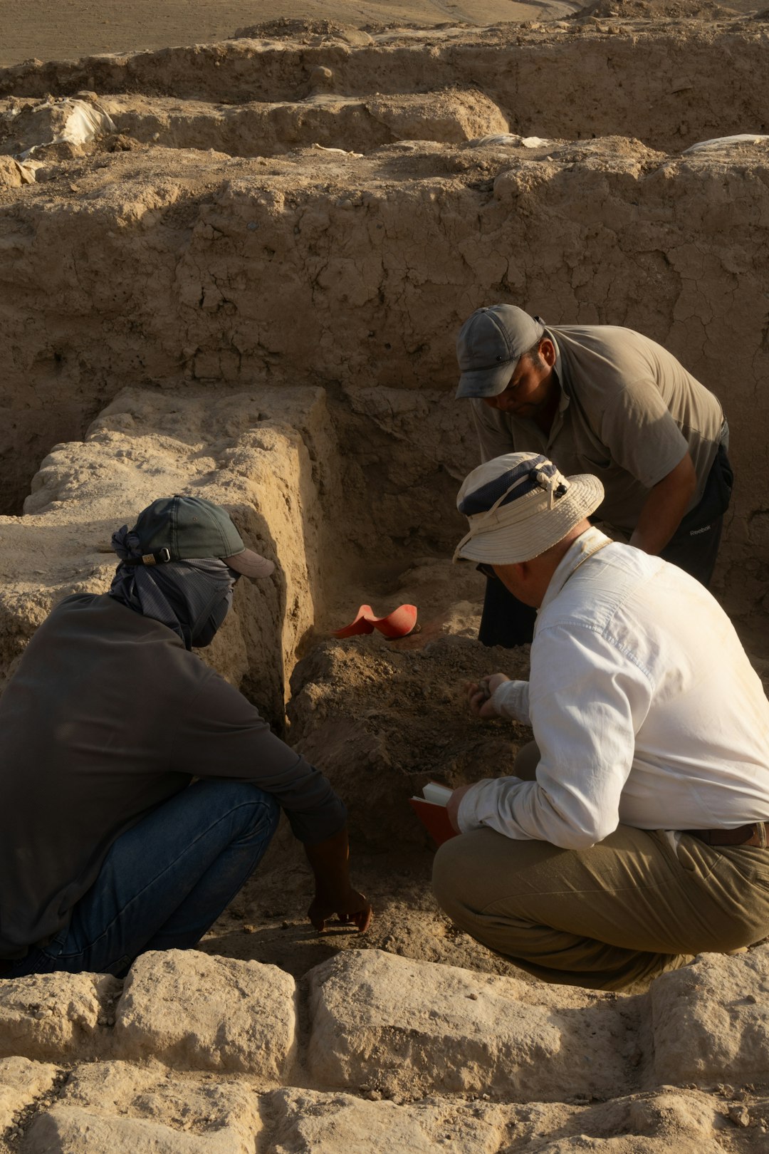
Archaeology has always wrestled with a paradox: digging answers questions but destroys contexts. Non‑invasive mapping flips that, letting researchers pose sharper questions before any ground is opened, or sometimes deciding not to dig at all.
In practical terms, that means ceremony can be recognized and respected without exposing fragile surfaces to wind and sun. It also means landscapes – not just artifacts – move to the center of the story.
Compared with traditional shovel test grids, GPR covers far more ground, detects subtle planning elements, and reduces the risk of missing a site between widely spaced probes. The payoff is scientific and human: better data, and fewer disturbances to places communities still hold close.
Mapping With Respect
Every promising anomaly is entwined with living nations whose ancestors shaped these spaces. Teams increasingly plan surveys with tribal partners from day one, aligning research goals with community priorities and agreeing on what not to publish.
On federal lands, permits and review processes are more than paperwork; they’re guardrails that keep sensitive places protected while science proceeds. A radar cart gliding over a playa is a humble machine, but it carries ethical weight.
I’ve walked those salt-crusted flats with archaeologists who pause before each transect, a quiet habit that reads like a greeting. The best field days end not with a triumphant announcement, but with a conversation under the shade of a truck’s open tailgate.
Global Perspectives
archaeology is living a quiet revolution worldwide, and Nevada is part of that chorus. From the American Southwest to North Africa, non‑invasive surveys are uncovering geometric plans where dunes once promised only guesswork.
What connects these places is method: geophysics first, micro-excavation second, patient synthesis always. The lesson from overseas s is sobering and useful – radar finds forms, not names – so interpretations stay conservative until multiple lines of evidence converge.
When researchers compare Nevada’s signatures with those abroad, they’re not chasing headlines. They’re checking whether the same physics and patterns hold across sands, building confidence one careful match at a time.
The Future Landscape
Tomorrow’s field kit will make today’s look quaint. Drone‑suspended antennas can skim rough playas, stitching thousands of traces into seamless 3D blocks, while new algorithms clean noise and highlight shapes that human eyes might miss.
Machine learning is entering the lab, not to replace judgment, but to flag subtle symmetries – a slightly elongated circle here, a repeating spacing of stones there – that hint at ceremony rather than chance. Paired with photogrammetry and lidar, the result is a layered x‑ray of place.
The hardest problems ahead aren’t technical, though. They’re about pace, privacy, and protection: how to share discoveries without inviting harm, how to honor requests for silence, and how to fund care for sites that most travelers will never see.
How You Can Engage
You don’t need a radar cart to help. Visit museums that steward heritage, support community‑led research, and choose guided experiences that respect site boundaries and seasonal closures.
If you live in Nevada, consider volunteering with public‑lands stewardship programs or attending open talks by university, museum, or tribal researchers. Small choices matter – packing out trash, staying on durable surfaces, and resisting the urge to geotag sensitive locations.
Most of all, stay curious and patient. The story under the sand is long; it deserves to be told at the speed of care. Did you expect that?

Suhail Ahmed is a passionate digital professional and nature enthusiast with over 8 years of experience in content strategy, SEO, web development, and digital operations. Alongside his freelance journey, Suhail actively contributes to nature and wildlife platforms like Discover Wildlife, where he channels his curiosity for the planet into engaging, educational storytelling.
With a strong background in managing digital ecosystems — from ecommerce stores and WordPress websites to social media and automation — Suhail merges technical precision with creative insight. His content reflects a rare balance: SEO-friendly yet deeply human, data-informed yet emotionally resonant.
Driven by a love for discovery and storytelling, Suhail believes in using digital platforms to amplify causes that matter — especially those protecting Earth’s biodiversity and inspiring sustainable living. Whether he’s managing online projects or crafting wildlife content, his goal remains the same: to inform, inspire, and leave a positive digital footprint.