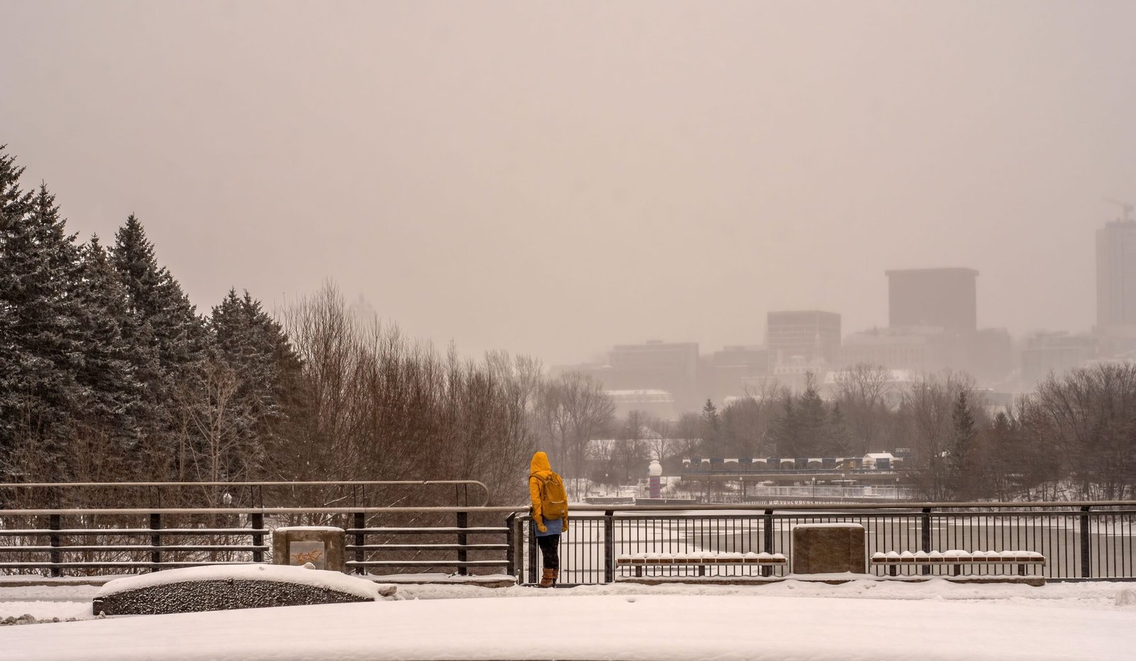
Cold Air Sparks Coastal Convection (Image Credits: Upload.wikimedia.org)
Pacific Northwest – Modified Arctic air delivered the season’s first major cold snap to the region on Monday, with ice pellets already falling in parts of western Washington.
Cold Air Sparks Coastal Convection
Frigid air originating from Alaska and northern British Columbia surged over the warmer Pacific waters, creating unstable atmospheric conditions. This clash produced towering cumulus clouds and scattered showers aligned with prevailing winds. Locations along the coast witnessed these convective bursts late Monday afternoon.
Local radars captured the showers moving onshore, marking the initial effects of the cold intrusion. Such convection arises from a steep lapse rate, where temperature drops rapidly with height, driving upward air motion and precipitation formation.
Mountain Snow Levels Plummet
As temperatures dropped, snow began accumulating in higher elevations, including Hurricane Ridge in the Olympics at around 5,000 feet. The freezing level hovered near 1,600 feet late Monday, placing the snow level roughly 600 feet above the surface.
Further declines in these levels occurred overnight into Tuesday, enhancing snowfall potential across mountain ranges. Western Washington’s Olympic Mountains saw the earliest impacts from this setup.
Intensifying Arctic Plunge Midweek
Even colder air masses advanced into southern British Columbia on Tuesday, funneling southward through the Fraser River Valley into western Washington. Model depictions for Wednesday morning revealed deep purple hues of extreme cold approaching the border.
By early Thursday, temperatures across Washington promised to plunge low enough for lowland snow, though precipitation timing remained the key uncertainty. Arctic influence extended close to the region, setting the stage for widespread chills.
Lowland Snow and Windy Cold Ahead
Forecast models from the University of Washington indicated possible lowland snow accumulations from Tacoma southward through Thursday morning, with flurries likely in isolated spots. The Willamette Valley, shielded from Pacific moderation, faced similar risks of light snow.
In Bellingham, cold air channeling down the Fraser Valley brought high-resolution ensemble predictions of sub-freezing temperatures and gusty winds. Wind chills could dip below zero degrees Fahrenheit, amplifying the bite of the outbreak.
- Ice pellets and convective showers hit western Washington on Monday.
- Mountain snow levels fell to about 600 feet near the Olympics.
- Colder Arctic air arrives via Fraser Valley Tuesday and Wednesday.
- Lowland snow possible Thursday from Tacoma south and in Willamette Valley.
- Bellingham expects sub-zero wind chills with windy conditions.
Key Takeaways
- The season’s coldest air so far has triggered showers and mountain snow.
- Deeper Arctic plunge midweek raises lowland snow odds.
- Prepare for wind chills near zero in northern areas like Bellingham.
This Arctic surge reminds residents of the Northwest’s vulnerability to sudden cold outbreaks, blending coastal convection with inland deep freezes. Stay updated on forecasts as details refine – what preparations are you making for the chill? Share in the comments.


