A Breakthrough in Subglacial Exploration (Image Credits: Cdn.mos.cms.futurecdn.net)
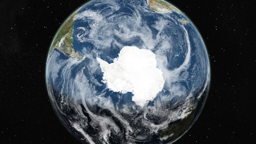
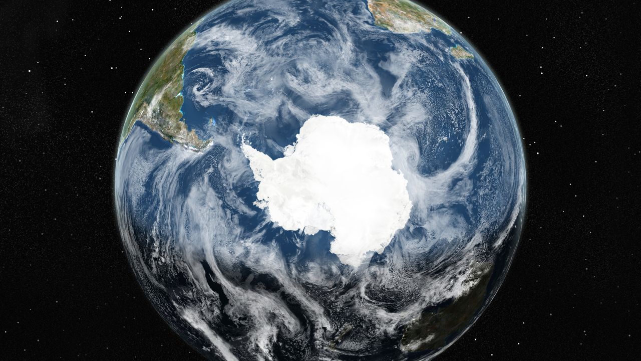
Antarctica’s vast ice sheet conceals a complex world of mountains, valleys, and basins that scientists have long struggled to chart.
A Breakthrough in Subglacial Exploration
Researchers recently unveiled the most detailed map yet of the landscape buried beneath Antarctica’s ice, using innovative satellite technology to peer through miles of frozen cover. This achievement marked a significant advance in understanding the continent’s bedrock, which influences how the ice sheet behaves amid rising global temperatures. The project relied on high-resolution satellite observations to track subtle undulations in the ice surface, revealing the underlying topography with unprecedented clarity.
The effort, spearheaded by a team from the University of Edinburgh and the Institut des Géosciences de l’Environnement, transformed limited data into a comprehensive view. Previous mapping depended on sparse ground and airborne surveys, leaving much of the subglacial terrain to guesswork through interpolation. Now, by applying principles of ice flow dynamics, scientists inverted surface data to infer bedrock features up to 3 miles below. This method exposed terrains more varied than earlier models suggested, from rugged highlands to smooth lowlands.
Diverse Landscapes Emerge from the Depths
One of the map’s most striking revelations was a massive trench carved into the Maud Subglacial Basin, highlighting the erosive power of ancient ice streams. The document also identified thousands of subglacial hills, deep canyons, and expansive plains that shape the ice’s movement. Alpine valleys and deeply eroded troughs appeared in regions previously thought uniform, offering clues to Antarctica’s geological past.
These features extend across the continent, including hidden mountain ranges and basins that could store water in subglacial lakes. The map’s resolution captured mesoscale details – small-scale variations overlooked before – that affect how ice adheres to or slides over rock. Such insights challenge assumptions about the ice sheet’s stability, particularly in areas vulnerable to warming oceans. Scientists noted that the varied topography might accelerate or slow ice loss in different sectors.
Implications for Climate and Sea Level Projections
The new map provides critical data for modeling Antarctica’s response to climate change, refining forecasts of future sea level rise. By detailing how bedrock influences ice flow, researchers can better predict melt rates in key outlets like the Thwaites Glacier. This knowledge addresses gaps in global assessments, where uncertainties about subglacial conditions previously inflated error margins.
International collaboration enhanced the project’s scope, integrating data from multiple satellite missions to cover nearly the entire ice sheet. The findings underscore Antarctica’s role in regulating sea levels, as even small shifts in these hidden landscapes could release vast water volumes. Experts emphasized that continued monitoring will be essential to track changes over time.
Key Discoveries at a Glance
- High-relief alpine valleys and scoured lowlands dominate eastern sectors.
- Deeply eroded troughs guide major ice streams toward the coast.
- A prominent trench in the Maud Subglacial Basin suggests intense past erosion.
- Subglacial lakes and basins indicate potential water storage beneath the ice.
- Mountain ranges and canyons reveal a more dynamic bedrock than previously mapped.
Key Takeaways
- The map surpasses prior efforts by resolving fine-scale features across Antarctica.
- It improves ice dynamics models, aiding accurate sea level predictions.
- Future satellite upgrades could further enhance subglacial monitoring.
As Antarctica’s ice reveals its secrets, the path forward demands vigilant observation to safeguard coastal communities worldwide. What aspects of this hidden world intrigue you most? Share your thoughts in the comments.