A Pioneering Leap That Shaped Space History (Image Credits: Cdn.mos.cms.futurecdn.net)
Researchers have leveraged artificial intelligence to identify potential resting places for Luna 9, the Soviet probe that accomplished the first controlled descent onto the moon’s surface back in 1966.[1][2]
A Pioneering Leap That Shaped Space History
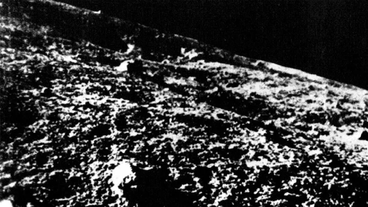
The Soviet Union’s Luna 9 mission marked a turning point on February 3, 1966. The spacecraft released a 58-centimeter spherical capsule equipped with inflatable shock absorbers. That capsule bounced several times before settling and deploying petal-like panels for stability.[1]
Over three days, it relayed the first close-up images from another world, proving the lunar surface could support a landing. This success paved the way for crewed missions, including Apollo 11 just three years later. Engineers at the time published approximate coordinates in Pravda, placing the site in the Oceanus Procellarum basin. Yet those figures carried significant uncertainty, spanning tens of kilometers.[2]
The Challenge of Pinpointing a Tiny Relic
NASA’s Lunar Reconnaissance Orbiter began capturing high-resolution images in 2009, sparking hopes of spotting Luna 9. The probe’s compact size and the mission’s imprecise tracking created a large search area, however. Previous manual efforts by enthusiasts and experts yielded no definitive matches.[3]
Subtle traces – such as soil disturbances from impacts or hardware shadows – proved too faint amid natural lunar features. Topography from Luna 9’s own panoramas added another layer of complexity, requiring matches with orbital data under varying lighting.[1]
Artificial Intelligence Joins the Search
Lewis Pinault of University College London, along with Ian Crawford and Hajime Yano, developed YOLO-ETA, a lightweight algorithm based on TinyYOLOv2. They trained it on Apollo landing site images to detect human-made artifacts like lander modules and disturbed regolith.[2]
The model excelled on test cases, including the Luna 16 site from 1970. Applied to a 5-by-5-kilometer zone near the nominal Luna 9 coordinates, it flagged clusters near 7.03° N, 64.33° W. Confidence scores reached 77 percent across multiple images, with spatial patterns aligning to the capsule’s bounce path.[4][2]
Topographic checks using Lunar Orbiter Laser Altimeter data suggested horizon matches with Luna 9 panoramas. Dark patches hinted at nearby crash sites from discarded components.[2]
Rival Sites Spark Debate Among Searchers
While the AI team focused on a narrow area, science communicator Vitaly Egorov conducted a manual survey over a broader 50-kilometer radius. He proposed a site at approximately 7.86° N, 63.86° W, guided by panorama alignments, rock patterns, and shadow simulations.[3]
Egorov’s approach integrated 3D modeling and geodetic resection, claiming a 95 percent rock distribution match. The two candidates differ by about 25 kilometers, highlighting ongoing uncertainties.[3]
| Team | Lead Researcher | Approx. Coordinates | Method |
|---|---|---|---|
| AI Group | Lewis Pinault | 7.03° N, 64.33° W | Machine learning on LROC images |
| Manual Search | Vitaly Egorov | 7.86° N, 63.86° W | Panorama matching & topography |
Key Takeaways
Confirmation could come soon as India’s Chandrayaan-2 orbiter images the region this spring. Such validation would not only resolve a Cold War-era puzzle but also refine AI tools for scanning the moon’s growing catalog of human artifacts. One breakthrough promises to illuminate humanity’s earliest steps beyond Earth. What do you think of these findings? Tell us in the comments.