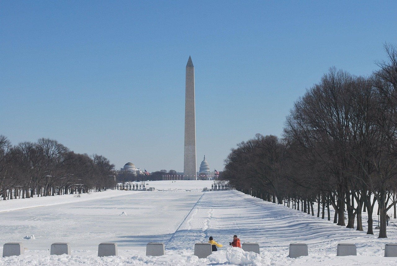
Sudden Chill Follows Spring Tease (Image Credits: Pixabay)
Washington, D.C. region – Light snow showers moved through the area Monday afternoon, marking a sharp pivot from recent mild weather.[1][2]
Sudden Chill Follows Spring Tease
The D.C. region enjoyed temperatures in the 50s and 60s over the weekend, with some southern spots nearing 60 degrees. Colder air surged in Sunday night, setting the stage for Monday’s drop to highs between 32 and 38 degrees Fahrenheit.[1] Winds from the east at 5 to 10 miles per hour added a bite, while clouds thickened overhead.
This shift surprised few seasoned observers, as March often delivers such late-season reminders of winter. Pavement temperatures lingered from the weekend warmth, limiting snow’s staying power in urban cores.[2]
Afternoon Flurries Bring Slushy Dusting
Snow showers developed late morning into the afternoon, starting from the west and spreading eastward. Accumulations stayed minimal, with forecasters predicting no more than a slushy inch around most of the D.C. metropolitan area, known as the DMV.[1] Higher elevations west of Interstate 95 fared slightly better, potentially seeing up to 2 inches.
Morning commutes remained dry, but afternoon drivers encountered wet roads from the light precipitation. The combination of marginal temperatures and recent warmth meant most snow melted on contact with treated surfaces.
Wintry Mix Overnight Triggers Advisory
A Winter Weather Advisory took effect at 10 p.m. Monday, extending through Tuesday afternoon in portions of central and western Maryland and northern Virginia.[3] Light snow transitioned to freezing rain overnight, with lows dipping into the lower 30s and patchy fog possible.
Expect up to 1 inch of snow and a tenth of an inch of ice in advisory zones. Bridges, ramps, and overpasses posed the greatest risk for slick conditions Tuesday morning before temperatures rose above freezing by mid-morning.[2]
| Day | High (°F) | Key Conditions |
|---|---|---|
| Monday | 32-38 | Snow showers PM |
| Tuesday | 38-46 | Wintry mix AM, rain PM |
| Wednesday | 55-60 | Chance showers |
| Thursday | 70-75 | Possible showers |
Safety Measures for Slick Roads
Impacts appeared limited overall, described as more nuisance than major disruption. The D.C. Snow Team deployed in preparation, though sticking snow proved unlikely on warmer pavements.[4]
Travelers faced calls to exercise caution during Tuesday’s rush hour. Key precautions included:
- Allow extra time and increase following distance.
- Reduce speed on bridges and overpasses, which ice first.
- Check school delays and monitor 511 for road updates.
- Prepare rain gear for Tuesday’s eventual switch to liquid precipitation.
- Watch for patchy fog reducing visibility overnight.
Meteorologists emphasized minimal school closings but urged vigilance for isolated slick spots.
Key Takeaways
- Snow accumulations capped at a slushy inch in the D.C. core, higher west.
- Freezing rain overnight could create Tuesday morning hazards in MD and VA.
- Warming trend starts Tuesday afternoon, reaching 70s by Thursday.
Winter clung tenaciously into early March, but relief arrived swiftly with highs climbing into the 70s later in the week. Residents pondered one last brush with the cold before spring’s full embrace. What impacts did you notice from Monday’s snow? Share in the comments.