
You do not need an ash plume or a glowing lava fountain to have a deadly volcano. In the case of Mount Rainier, the real threat is colder, quieter, and far more sneaky: enormous rivers of mud that can race down valleys at highway speeds long after the sky looks calm and blue. That is why many volcanologists quietly rank Rainier near the top of the danger list in the United States, even though places like Yellowstone or Hawaii tend to grab the headlines.
Here is the unsettling twist: despite this reputation, the Seattle metro area does not have a clearly defined, public, volcano-specific evacuation plan for a catastrophic Rainier event the way some people imagine it should. Local and state agencies have pieces of the puzzle – landslide hazard maps, alert systems, and emergency playbooks – but not the kind of simple, citywide “when X happens, everyone does Y” plan that anxious residents often expect. Once you understand how Rainier actually kills and how modern cities really work in a fast-moving disaster, that disconnect starts to make a worrying kind of sense.
The Sleeping Giant Above a Growing Metropolis
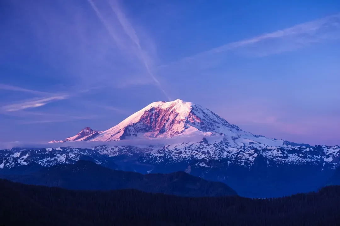
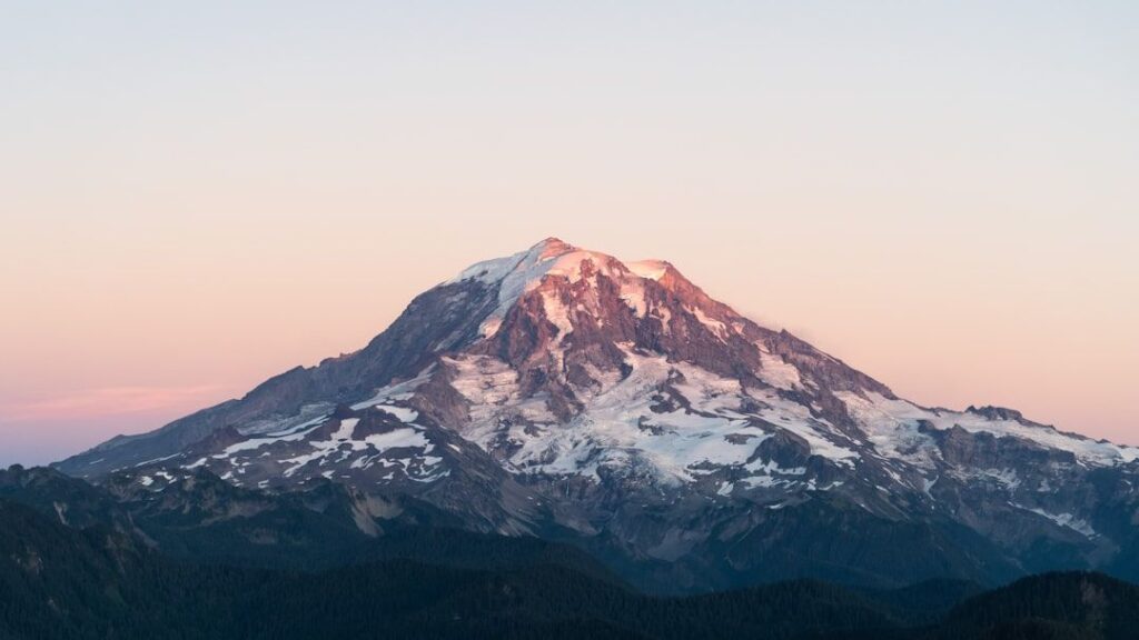
Mount Rainier dominates the skyline of western Washington, looming nearly three vertical miles above sea level and draped in thick ice. It is not just a pretty backdrop for Instagram shots; it is an active stratovolcano with a long history of building itself up with eruptions and tearing itself apart with landslides. Because it sits in the Cascade Range on the edge of a major tectonic plate boundary, it shares the same deep engine that powers Mount St. Helens, Mount Hood, and other well-known peaks.
What makes Rainier so unnerving is not simply that it is active, but that more than a few million people now live, work, and commute in the shadow of its valleys. Towns like Orting, Puyallup, Sumner, and even low-lying industrial parts of Tacoma sit in old volcanic mudflow deposits that once roared off the mountain. Add the greater Seattle–Tacoma–Bellevue urban web to the picture, and you have a dense, interconnected region that depends on highways, ports, and power lines that thread right through those same ancient disaster scars.
Why Scientists Call Rainier “Most Dangerous” Even When It Looks Peaceful
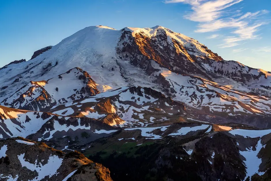
At first glance, calling Rainier the most dangerous volcano in America sounds like hype, especially when there is a supervolcano sitting under Yellowstone and frequently erupting volcanoes in Alaska and Hawaii. The key difference is risk, not raw power. Yellowstone erupts rarely on human timescales, and many Alaskan volcanoes are far from large population centers. Rainier, in contrast, combines significant eruptive potential with a dense, downstream human footprint that has grown dramatically over the last century.
Volcanologists tend to focus on scenarios that are both plausible and catastrophic, and Rainier checks those boxes in an uncomfortable way. Even a moderate eruption or a smaller structural collapse could trigger destructive mudflows that overwhelm communities built on flat valley floors. That combination of likely hazards and vulnerable infrastructure is why you will often hear experts describe Rainier as one of the highest-risk volcanoes in the country, even though it has not produced a spectacular eruption in modern memory.
The Real Killer: Lahar Mudflows, Not Lava or Ash
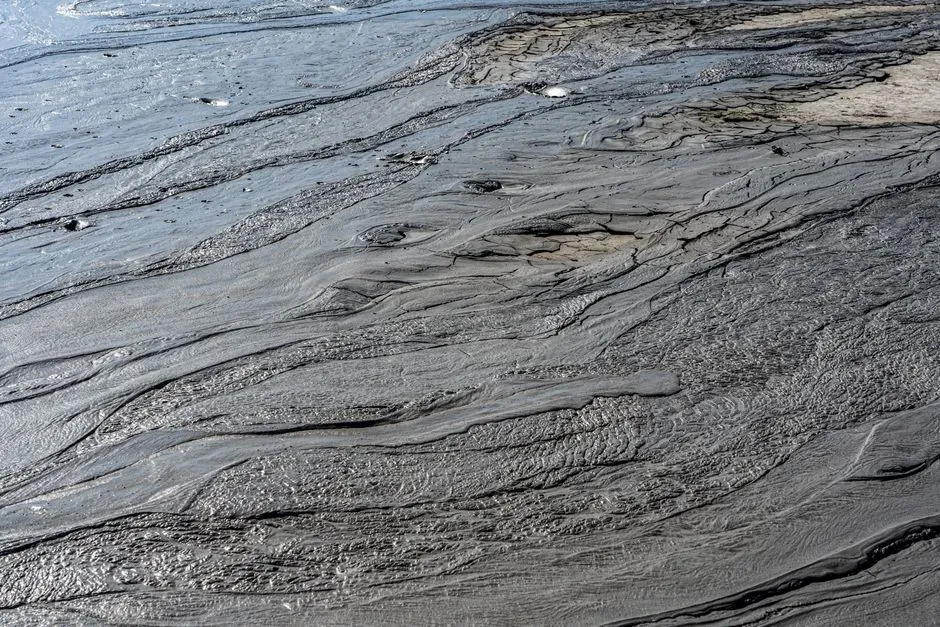
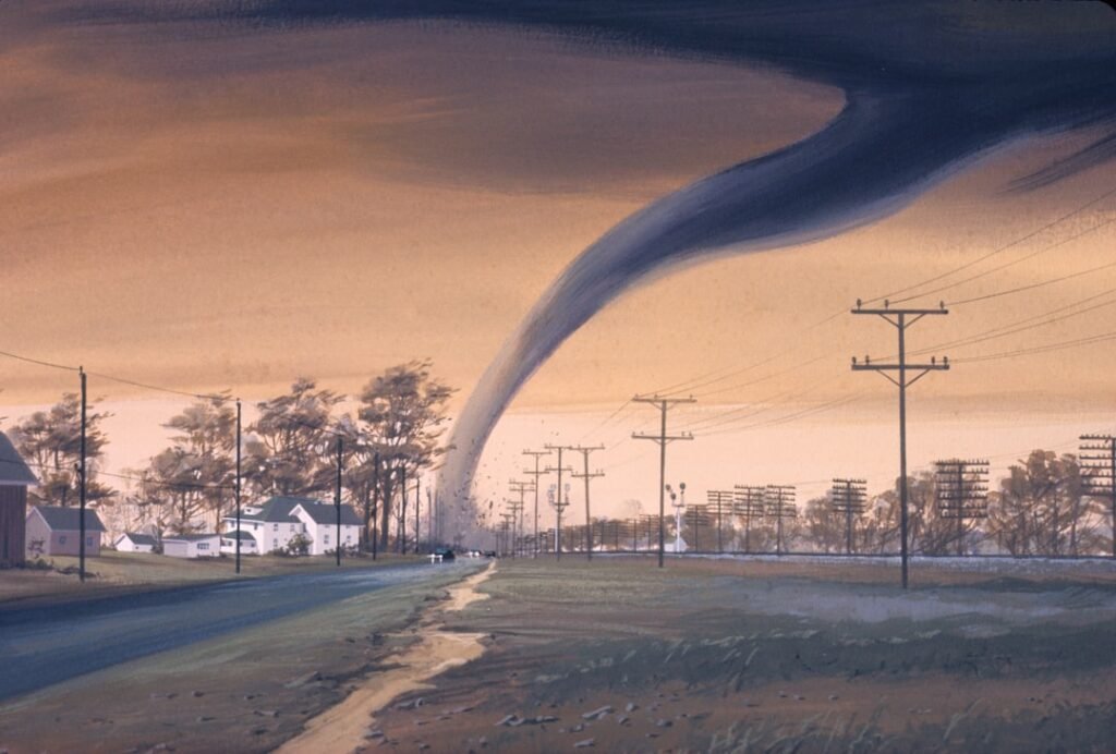
When people picture a volcanic disaster, they usually imagine rivers of lava slowly overrunning houses or thick ash turning day into night. Rainier can absolutely produce ash and lava, but the main threat to communities around Puget Sound is lahars – fast-moving slurries of water, rock, and volcanic debris that behave like wet concrete racing downhill. These flows can be triggered by eruptions that melt ice, by the collapse of unstable slopes, or by a combination of heavy rain, heat, and gravity acting on ice-laden rock.
Past lahars from Rainier have traveled all the way to what is now the Puget Sound lowland, burying river valleys tens of meters deep and permanently reshaping the landscape. Many of today’s towns, industrial zones, and transportation corridors sit directly on top of those old deposits, which is like building a neighborhood on the dry bed of a once-torrential river and pretending the river is gone forever. In a future event, a large lahar could fill entire valleys wall to wall and move faster than a person can run, leaving little time for confused residents who have never really believed the maps.
The Odd Comfort of a Quiet Volcano (And Why It Is Misleading)
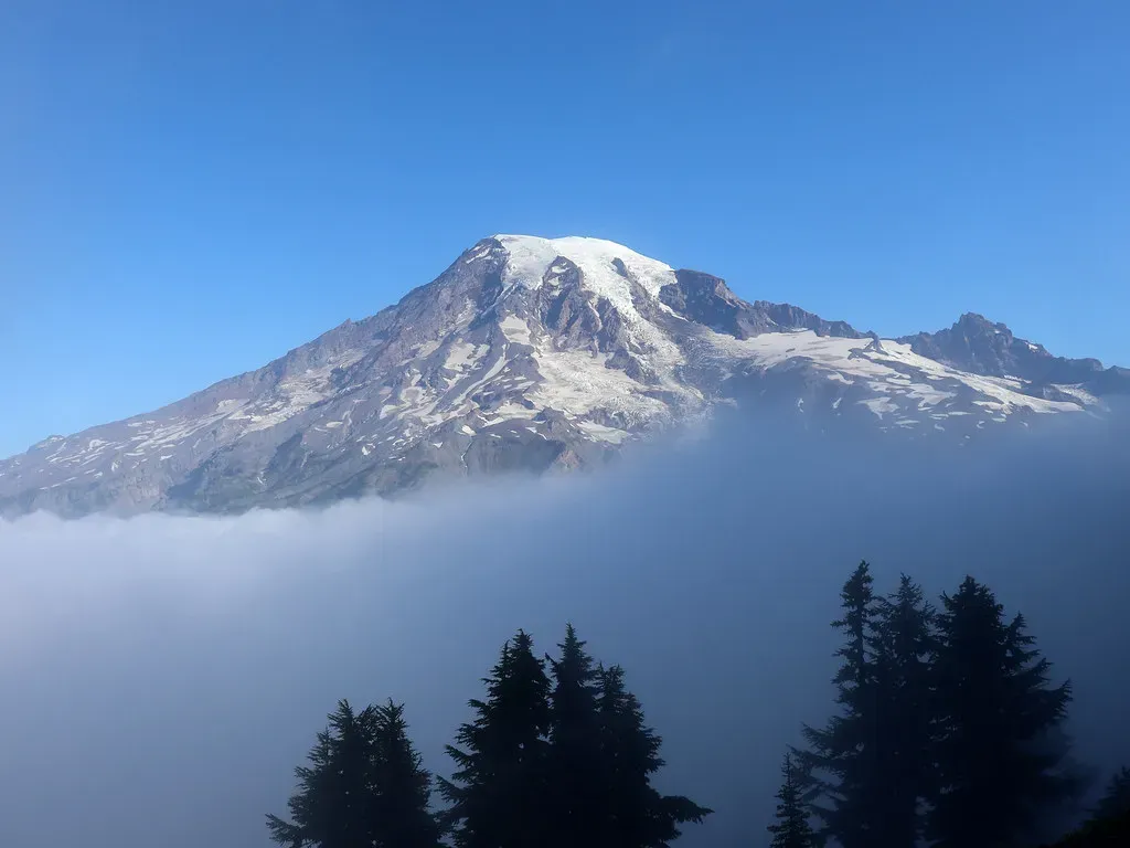
Rainier has not had a big eruption in the era of smartphones and streaming news, which makes it feel benign in everyday life. You can drive to the national park, hike among wildflowers, and watch families pose in front of glaciers without any sense that the mountain is an ongoing geological machine. Human memory is short; if a place has not erupted in your lifetime, the default assumption tends to be that it will not erupt at all. That quietness works like a powerful sedative on public urgency.
The scientific story, though, is that Rainier is still warm, still degassing, and still part of an active volcanic arc that has produced numerous eruptions over the last several thousand years. The lack of dramatic recent activity does not mean the hazard has gone away; it simply means that the volcano is operating on its own schedule, which may stretch well beyond a human career or a mortgage. In a way, the calm façade is exactly what makes it so dangerous: it lulls a fast-growing region into treating an existential risk like a low-priority background problem that can always be dealt with later.
How Much Risk Does Seattle Actually Face From Rainier?
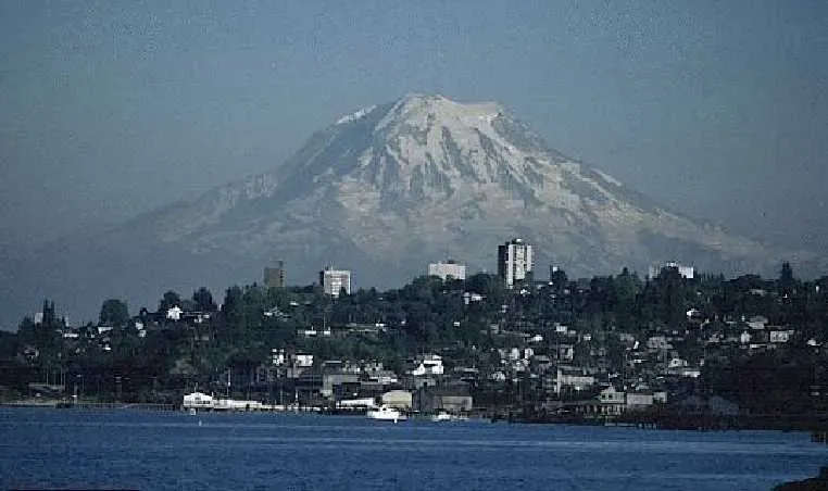
Here is where things get nuanced. If you live in downtown Seattle on a hilltop, Rainier is not going to send a lahar right through your living room, and that matters. The city itself sits outside the mapped lahar inundation zones, which are concentrated in the Puyallup, Carbon, and Nisqually river valleys to the south and southeast. That geographic buffer is one reason you do not see a dedicated, citywide “drop everything and run” evacuation map for Seattle when people talk about Rainier.
But calling Seattle safe would be misleading in a different way. The metro region is a tightly interlocked organism: ports, warehouses, fuel facilities, highways, rail lines, and power infrastructure in low-lying areas would be hammered by a major lahar or ashfall. The economic hit and disruption to supply chains, jobs, and essential services could be profound, even if water never touches the Space Needle. In that sense, the risk is less about a tsunami of mud reaching downtown and more about what happens when the network Seattle depends on suddenly breaks at multiple points downstream of the city limits.
Why There Is No Simple “Volcano Evacuation Plan” for Seattle
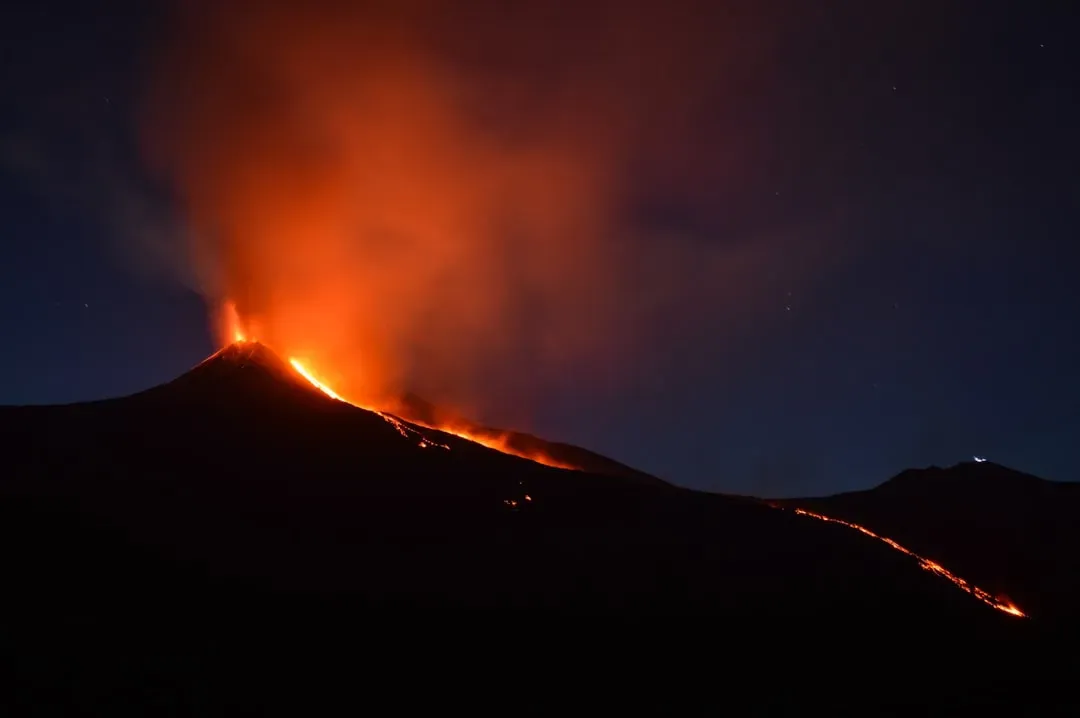
Many people imagine an evacuation plan as a single, neat document that says exactly who leaves, when they leave, and which routes they take when a disaster strikes. In reality, urban emergency planning rarely works that way, especially for a hazard that impacts some communities very directly and a big city more indirectly. Seattle and the surrounding region instead lean on layered systems: regional alert networks, school and workplace procedures, local lahar sirens in valley towns, and broader all-hazards plans that can flex for different scenarios. From the outside, that looks frustratingly vague and incomplete.
There is also a hard truth that city officials do not always say plainly: you cannot instantly evacuate millions of people from a metro area that is choked with daily traffic on a good day. Attempting a last-minute, region-wide evacuation for a fast-onset lahar would likely create gridlock that traps more people in harm’s way, not fewer. As a result, specific lahar evacuation maps and drills are targeted at the highest-risk valley communities, while Seattle leans more on continuity planning, shelter-in-place guidance, and long-term resilience. That might be sensible from a technical perspective, but it clashes with the understandable emotional desire for a big red “break glass in emergency” playbook for everyone.
Living With the Risk: What Preparedness Really Looks Like
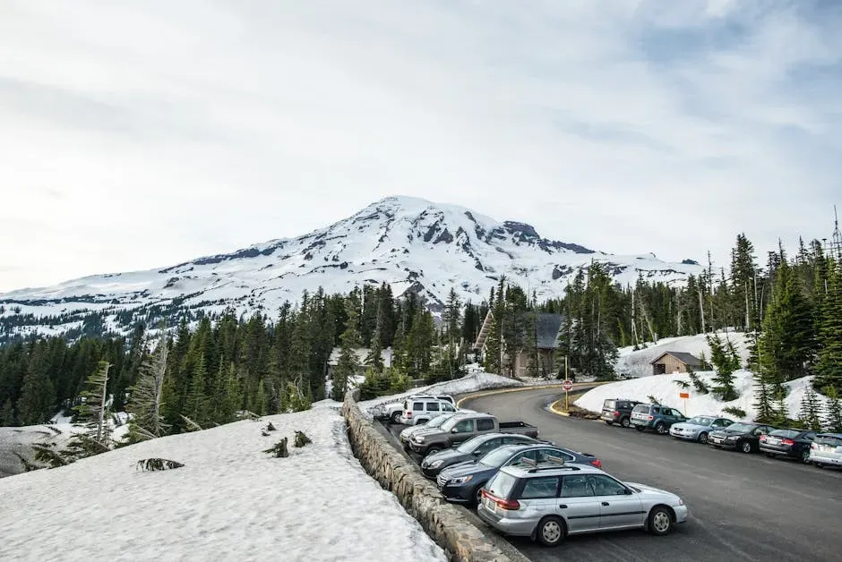
So what does meaningful preparation actually mean for people who live in the orbit of Mount Rainier? On the institutional side, it looks like continuous monitoring of the volcano, updated hazard mapping, regular exercises between local, state, and federal agencies, and hard conversations about land use in high-risk valleys. It also means investing in infrastructure – like lahar detection systems, strong bridges, and redundant power and communications routes – that can buy precious minutes and keep key services running after a disaster. None of this is flashy, but it is the quiet backbone of real-world resilience.
At the personal level, preparedness is less about memorizing some future siren code from Seattle City Hall and more about knowing your actual risk zone, having a plan with your family, and building that boring but vital emergency kit. I keep mine in a closet, and every time I add something to it – an extra set of medications, a crank radio, a pair of sturdy shoes – I am reminded that the point is not to live in fear of a worst-case eruption. The point is to accept that living in a beautiful, geologically active place comes with trade-offs, and to choose not to be completely surprised when the landscape eventually does what it has done many times before.
Conclusion: A Beautiful Risk We Pretend Not to See
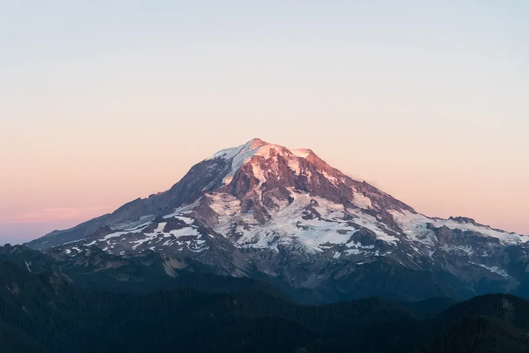
Mount Rainier is both a postcard and a loaded gun, and as a region we are still not entirely honest about that contradiction. Calling it America’s most dangerous volcano is less about scaring people and more about forcing us to confront the uncomfortable math of hazard plus exposure. Seattle’s lack of a simple, dramatic evacuation blueprint does not mean there is no planning at all; it means that the real risk is messy, uneven, and bound up in a sprawling urban system that cannot just be emptied like a movie theater.
In my view, the real danger is not only the volcano itself, but the gap between what people think will happen and how disasters actually unfold in modern cities. We are very good at admiring the mountain from afar and posting sunset photos; we are less good at talking frankly about which neighborhoods get buried, which supply routes fail, and who is left waiting for help that cannot get through. Maybe the most responsible way to love Rainier is to stop pretending it is only scenery and start treating it like the active, indifferent machine it really is. Knowing that, do you see the mountain differently the next time it appears on the Seattle skyline?