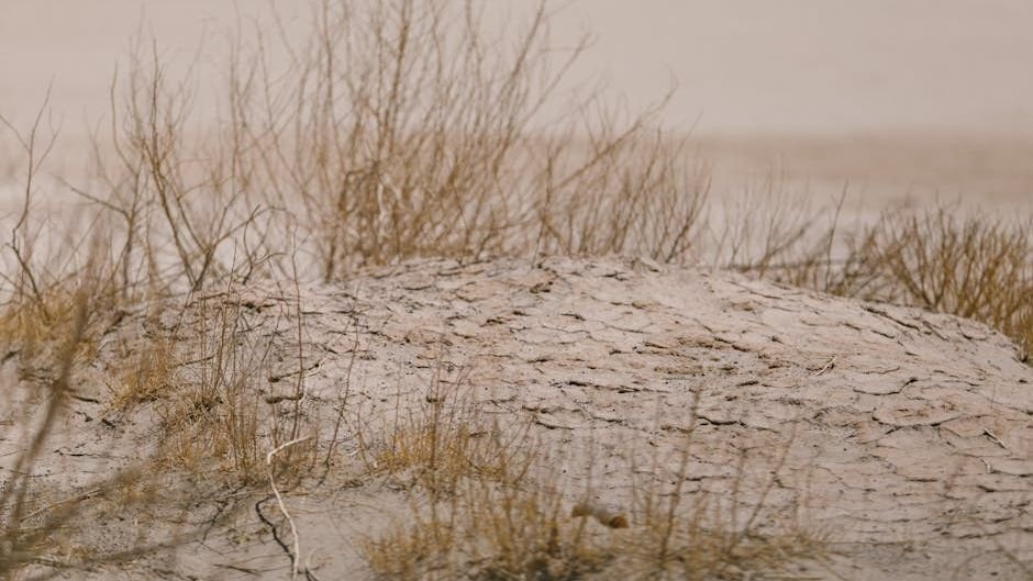
Severity Matches Historic Lows (Image Credits: Pexels)
Florida – A stubborn weather pattern has plunged more than 70 percent of the state into extreme to exceptional drought conditions, marking the most severe dry spell in 15 years. Rainfall has fallen far short of normal levels since September 2025, exacerbating the crisis across northern and central regions. Groundwater levels have plummeted, straining resources in a state already prone to water challenges.[1]
Severity Matches Historic Lows
Northern Florida bears the brunt of the drought, with vast areas classified at the highest levels of dryness on the U.S. Drought Monitor. The parched conditions extend beyond state lines, affecting 69 percent of neighboring Georgia. Shallow aquifers, vital for local water supplies, have dried up entirely in parts of northern and central Florida, a development that underscores the depth of the crisis.[1]
This episode rivals the intensity of the 2011-2012 drought, the last time Florida saw such widespread exceptional dryness. Earlier severe events occurred in 2000-2001 and 2007-2008, but none struck with this force so early in the year since 2000. The prolonged deficit has left soils desiccated and vegetation brittle, setting the stage for broader repercussions.[1]
Weather Forces Fuel the Fire
A persistent ridge of high atmospheric pressure has dominated since fall 2025, anchoring in place since March. This system promotes sinking air that stifles cloud formation and keeps humidity low, blocking rain across the Southeast. Many regions have received less than half their typical rainfall over the past seven months, totaling a shortfall of 20 to 25 inches in some spots.[1]
A La Niña pattern through the winter nudged the jet stream northward, delivering warmer, drier air to the southern U.S. The absence of tropical storms last year compounded the issue. Pam Knox, an agricultural climatologist at the University of Georgia, noted, “Rain cannot form in sinking air so it just stays warm and dry.”[1] She added that the combined effects of no tropical activity and La Niña conditions have driven the current situation.
Key Drought Drivers:
- Stationary high-pressure ridge since fall 2025
- La Niña-induced dry winter
- Rainfall 20-25 inches below average since September
- No tropical storms in 2025
Widespread Impacts Strain Resources
Dry vegetation has ignited wildfires, including a major blaze in February at Big Cypress National Preserve, about 25 miles east of Naples. The Everglades now confront unusually arid conditions, threatening delicate ecosystems. Water districts across Florida have enacted restrictions on irrigation and other uses to conserve supplies.[1]
Agriculture faces acute pressure as farmers delay planting or skip crops altogether. Soybean and peanut grower Shannon Nixon near Baker, Florida, remarked, “In all my years of farming, I’ve never personally experienced a spring this dry.” Reduced local production could mean income losses for growers and shortages of vegetables for consumers. Aquifers lag behind surface recovery, worsening after initial dry spells due to heavy extraction for irrigation and drinking.[1]
Outlook Points to Gradual Improvement
Forecasts indicate worsening through late April 2026, with high temperatures and scant precipitation expected. Relief may arrive in May as the high-pressure ridge shifts eastward, potentially ushering in cold fronts and rain. Summer remains uncertain, though a developing strong El Niño could deliver wetter weather.[1]
Full recovery demands weeks of steady rain or a multi-day tropical event. Florida’s sandy soils can absorb 2 to 3 inches easily when bone-dry, aiding quicker rebound compared to clay-heavy areas. Officials urge conservation amid the wait for broader atmospheric changes.[1]
Residents and farmers alike monitor the skies, knowing sustained moisture offers the surest path out of this 15-year drought peak.