Tuesday’s Warm Surge Challenges Records (Image Credits: Pexels)
St. Louis – Light rain from thunderstorms that rumbled to the west and north overnight grazed the region before fading away. Clear skies now dominate, setting the stage for a notably warm Tuesday with highs nearing 90°F under breezy conditions. This brief heat spike challenges the daily record of 92°F, offering a taste of summer amid typical spring variability. Stronger weather looms just ahead, prompting vigilance for midweek changes.[1][2]
Tuesday’s Warm Surge Challenges Records
Sunny conditions prevail across St. Louis on Tuesday, a stark contrast to the overnight activity. Winds pick up, adding a brisk feel even as mercury climbs toward 90°F. Meteorologists note this approaches the longstanding record high of 92°F for the date.
The setup stems from high pressure building in after the light rain dissipated. Residents can expect comfortable morning starts transitioning to hot afternoons. Outdoor plans benefit from the sunshine, though gusts may stir dust or pollen.
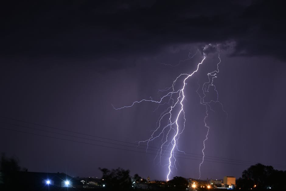
Evening Risks and Overnight Possibilities
Strong storms fire up again to the west Tuesday evening. These systems track eastward but weaken before reaching St. Louis. Still, isolated rain or a stray thunderstorm remains possible overnight.
Cloud cover from any lingering activity influences the following day. Breezy winds continue into the evening, potentially enhancing evaporation and limiting humidity buildup. Most areas stay dry, allowing temperatures to recover quickly Wednesday morning.
Wednesday Brings Heightened Storm Threat
Attention turns to Wednesday afternoon and evening, when rain and thunderstorms gain traction in St. Louis. Some storms carry potential for strength, possibly reaching severe levels. Large hail and damaging winds represent primary concerns if instability surges.
Storm intensity hinges on cloudiness lingering from prior activity. Highs cool to around 80°F, providing some relief from Tuesday’s heat. Timing focuses on late afternoon through evening rush hours, complicating commutes.
Extended Forecast Signals Ongoing Activity
Thursday sees chances for afternoon showers and storms, though less organized than Wednesday. The pattern escalates Friday night into Saturday, with widespread severe weather risks ahead of an advancing cold front.
Cooler air arrives over the weekend, dropping highs noticeably on Saturday and Sunday. This front ushers relief from the warmth but heightens storm potential earlier. Patterns suggest active spring weather persists.
| Day | Expected High | Key Weather Notes |
|---|---|---|
| Tuesday | Near 90°F | Sunny, very breezy |
| Wednesday | Near 80°F | Storms possible, severe risk |
| Thursday | Near 80°F | Afternoon rain chances |
| Friday | Various | Severe weather late |
| Saturday | Cooler | Post-front chill |
Navigating the Weather Shift Safely
Preparation proves essential amid these swings. Secure outdoor items against winds Tuesday and potential gusts later. Monitor updates as storms evolve Wednesday.
- Stay weather-aware during afternoon and evening Wednesday; have alerts enabled.
- Seek shelter indoors if hail or high winds threaten.
- Plan around heat Tuesday – hydrate and limit strenuous activity.
- Check on vulnerable neighbors ahead of storms.
- Review severe weather plans for Friday-Saturday risks.
Key Takeaways:
- Tuesday highs near 90°F test records under sunny skies.
- Wednesday storms could produce hail and winds; monitor closely.
- Cooler weekend follows active midweek pattern.
St. Louis weather delivers a classic spring rollercoaster, from heat to hazards in days. Timely awareness keeps the region safe through the transitions. How will you make the most of Tuesday’s warmth? Share your thoughts in the comments.


