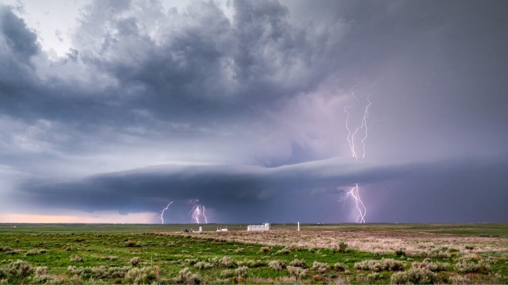

Storms Build Momentum Late Friday (Image Credits: Unsplash)
Dallas-Fort Worth – Residents across North Texas are monitoring forecasts closely as a potent storm system promises widespread showers, heavy downpours and potential flash flooding starting late Friday. The National Weather Service has highlighted increasing risks for localized flooding, particularly northwest of the Metroplex, where rainfall could surpass three inches.[1] Strong winds and isolated severe thunderstorms add to the concerns during this busy pre-Easter period.
Storms Build Momentum Late Friday
Conditions turn active Friday afternoon as mostly cloudy skies give way to scattered thunderstorms. Meteorologists note that a few of these storms could intensify into strong or severe variants by late afternoon and evening.[1] Showers gain coverage overnight, evolving into numerous downpours by early Saturday.
This setup stems from a slow-moving front ushering in moisture-rich air. Breezy conditions prevail earlier in the day, with south winds reaching 15 to 25 mph and higher gusts possible ahead of the heaviest rain.[2] Highs climb into the low 80s Friday before a cooldown follows the front’s passage.
Flash Flooding Emerges as Top Threat
Heavy rain stands out as the primary hazard, with flash flooding risks escalating late Friday into Saturday. Areas northwest of Dallas-Fort Worth face the highest odds for excessive totals exceeding three inches, prompting warnings to avoid flooded roadways at all costs.[1] Ponding on highways and low-lying spots could complicate travel quickly.
Historical patterns in North Texas amplify these dangers, as flash floods claim more lives annually than other severe weather types in the region. Current outlooks emphasize localized impacts rather than widespread devastation, yet vigilance remains essential.[3]
Day-by-Day Breakdown of Impacts
Friday unfolds with dry starts transitioning to 40% rain chances by evening, per local forecasts. Saturday brings near-certain showers and thunderstorms in the morning, with heavy bursts possible before drier air arrives by afternoon.[2] Lows dip to around 58 degrees overnight into Saturday.
Sunday offers a reprieve with decreasing clouds and cooler highs near 68 degrees, though lingering moisture could spark isolated showers. Winds shift north at 15 to 25 mph with gusts, aiding the temperature drop.[4]
Essential Safety Measures for Residents
Authorities urge multiple alert methods, including apps, radios and social media updates from the National Weather Service. Driving remains the biggest risk, as even shallow floodwaters can sweep vehicles away.
Communities should clear drains and monitor creeks beforehand. Power outages from gusty winds or lightning pose secondary concerns, so emergency kits prove handy.
- Turn around; don’t drown – never cross flooded roads or low-water crossings.
- Secure outdoor items against winds up to 30 mph or higher in storms.
- Charge devices and have flashlights ready for potential outages.
- Stay indoors during thunderstorms; avoid windows and plumbing.
- Check on neighbors, especially the elderly or those in flood-prone areas.
- Monitor updates from local sources like NWS Fort Worth.
Key Takeaways
- Main threat: Heavy rain leading to flash flooding, especially northwest of DFW.[1]
- Timeline: Peaks late Friday night through Saturday morning.
- Severe potential: Low, but isolated strong storms with gusts possible.
As North Texas navigates this weather challenge, proactive steps can prevent tragedies. The storms serve as a reminder of the region’s vulnerability to rapid flooding. What precautions are you taking? Share in the comments below.