Cold Front Delivers Quick Punch (Image Credits: Wtop.com)
Washington D.C. region – A potent cold front swept through the area on Thursday, shattering recent spring-like conditions with rapidly falling temperatures and a shift from rain to possible snow.[1][2]
Cold Front Delivers Quick Punch
Gusts reaching 40 mph battered Reagan National Airport early Thursday morning as the front arrived.[1] Temperatures plunged from the 60s at daybreak to the 40s before mid-morning and the 30s by afternoon. Meteorologist Eileen Whelan noted, “You’ll know when the cold front slides through; it’s going to get windy and temperatures will drop pretty quickly.”[1]
Northwest winds sustained at 10 to 20 mph fueled the chill, with gusts topping 30 mph across the region. The abrupt change followed record highs earlier in the week, creating a classic weather whiplash. Road surfaces stayed too warm for snow buildup during the day, but the plummeting mercury raised concerns for later hazards.
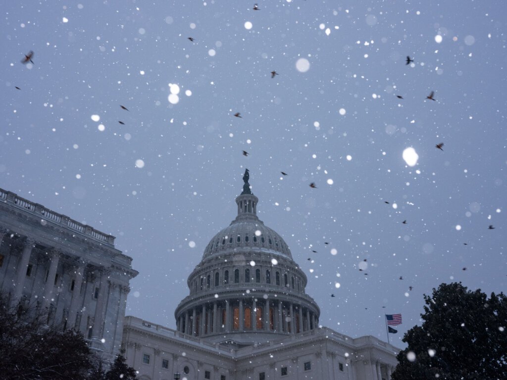
Precipitation Shifts to Wintry Mix
Rain dominated the morning commute, delivering up to a half-inch of accumulation before tapering off.[1] As colder air deepened in the afternoon, the precipitation transitioned to a rain-snow mix or outright wet snow in spots. Forecasts indicated little chance of significant accumulation, though a light dusting coated some grassy areas and rooftops.
No major travel disruptions materialized from the wintry weather. Skies began clearing ahead of the evening rush, allowing some late-day sunshine to peek through. Officials monitored conditions closely, but the brief event avoided widespread issues.
Freezing Overnight Lows Loom
Temperatures continued their descent after sunset, with lows forecasted between 27 and 32 degrees across much of the D.C. metro area.[1] Lingering moisture from earlier rain raised the risk of black ice on untreated surfaces early Friday. Winds eased to northwest at 5 mph overnight, but the frigid air mass held firm.
- Morning start: 60s, rain likely
- Afternoon: 30s, possible snow flurries
- Evening clear-up: Winds gusting 30+ mph
- Overnight: Below freezing, refreeze potential
Weekend Weather Stabilizes
Friday promised partly cloudy skies with highs climbing back to the mid- to upper 50s amid southwest winds of 10 to 20 mph and gusts near 35 mph.[1] Breezy conditions persisted, but drier air returned. Saturday stayed mild and mostly dry, with temperatures in the 50s and 60s under lighter west winds at 5 to 10 mph.
Showers arrived Sunday afternoon ahead of southeast winds of 15 to 25 mph. The pattern hinted at calmer weather by week’s end, though residents remained alert for any lingering slick spots Friday morning.
Key Takeaways
- Temperatures fell more than 20 degrees Thursday, from 60s to 30s.[1]
- Rain transitioned to snow mix; no road accumulation expected.
- Gusts over 30 mph amplified the chill; lows near 30 tonight.
- Milder weekend ahead, with Friday highs near 55-59.
This sharp reminder of winter’s persistence underscores the region’s variable March weather. As conditions improve, drivers should watch for icy patches early Friday. What impacts did the cold front bring to your commute? Share in the comments.