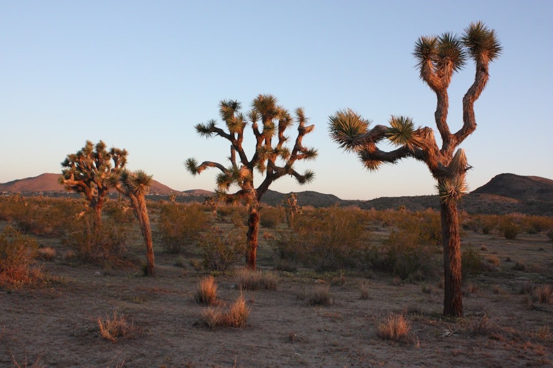
Technology Pierces the Desert Veil (Image Credits: Unsplash)
West Africa – Researchers have identified nearly 1.8 billion trees and shrubs thriving across the Sahara Desert and Sahel transition zone, upending assumptions of pervasive barrenness in these vast drylands.[1][2]
Technology Pierces the Desert Veil
Scientists long dismissed the Sahara’s core as nearly treeless, with sparse vegetation escaping detection in traditional surveys. High-resolution satellite imagery changed that equation. A team from the University of Copenhagen, in collaboration with NASA, deployed artificial intelligence to analyze over 11,000 images covering 1.3 million square kilometers.[1] The AI, trained on nearly 90,000 manually identified trees, distinguished individual crowns as small as three square meters – far beyond human capability from orbit.
Lead author Martin Brandt expressed astonishment at the results. “We were very surprised to see that quite a few trees actually grow in the Sahara Desert, because up until now, most people thought that virtually none existed,” he stated.[1] This breakthrough, published in Nature in 2020, marked a pivotal advance in remote sensing. Processing occurred on NASA’s powerful supercomputers, completing in hours what would have taken humans years.
The Astonishing Numbers
Density varied sharply across zones, revealing a gradient of life in unexpected places. Super-arid Sahara areas averaged 0.7 trees per hectare, while semi-arid Sahel zones reached 30 trees per hectare. Arid expanses showed 9.9 per hectare, and sub-humid rims climbed to 47.[2]
Many trees clustered near human settlements, aiding local livelihoods through shade, fruit, and soil stabilization. The total tally – 1.8 billion – spanned the desert proper, Sahel, and fringes, with hundreds of millions confirmed in the driest sectors alone.
| Zone | Trees per Hectare |
|---|---|
| Super-Arid (Sahara) | 0.7 |
| Arid | 9.9 |
| Semi-Arid (Sahel) | 30.1 |
| Sub-Humid | 47 |
Drivers of Desert Resilience
Several forces sustain this greenery. Precipitation rose in Sahel regions over recent decades, fostering growth at the Sahara’s edges. Elevated CO2 levels enhance water-use efficiency in plants, allowing stomata to remain partially closed while maintaining photosynthesis.[3]
Decreased fire frequency has enabled saplings to mature. Satellite data also captured greening signals, such as vigorous acacia growth and new grasslands after rains in Chad’s Ennedi region. These developments hint at broader ecological recovery, potentially amplified by shifting monsoons.[4]
- Increased Sahel rainfall supports edge expansion.
- CO2 acts as a fertilizer, boosting efficiency.
- Fewer fires protect young growth.
- Monsoon strengthening aids sporadic wet phases.
Far-Reaching Environmental Impact
These trees represent untapped carbon sinks, previously absent from climate models. Their biomass sequesters CO2, bolsters biodiversity, and combats erosion. Local communities benefit from improved crop yields under tree canopies, which balance water and nutrients.
The AI method promises global scalability, enabling tree mapping beyond forests. Brandt noted its potential: “Trees outside of forested areas are usually not included in climate models, and we know very little about their carbon stocks.”[1] Such insights refine conservation strategies and support sustainable development.
Key Takeaways
- 1.8 billion trees occupy 1.3 million square kilometers of West African drylands.
- AI and satellites detected what human surveys missed, revealing densities up to 47 trees per hectare.
- Greening factors include rainfall shifts, CO2 benefits, and fire reduction, enhancing carbon storage and resilience.
Nature demonstrates remarkable adaptability amid arid extremes. This discovery underscores the Sahara’s evolving ecosystems and invites reevaluation of desert dynamics. What do you think about these findings? Tell us in the comments.