The Mystery of Earth’s Weakest Gravity Zone (Image Credits: Cdn.mos.cms.futurecdn.net)
Antarctica – A vast region of weaker gravity beneath the icy continent has provided researchers with crucial evidence of slow-moving processes deep within Earth’s mantle.[1][2]
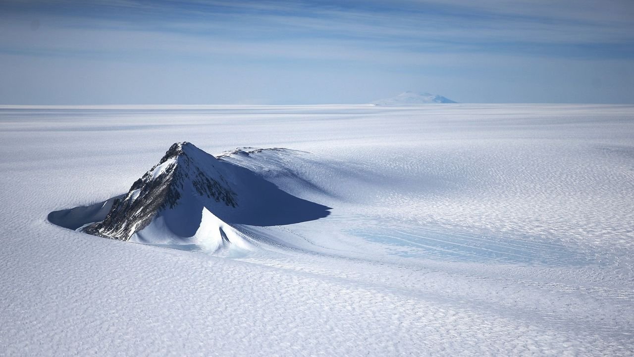
The Mystery of Earth’s Weakest Gravity Zone
Researchers identified the Antarctic Geoid Low as the planet’s strongest gravity depression, where gravitational pull dips below average after adjustments for Earth’s rotation. This anomaly arises from uneven rock densities far below the surface, creating subtle but measurable effects. Water in nearby oceans flows toward stronger gravity zones, resulting in lower sea-surface heights around the continent.[3]
The feature stands out as the most pronounced on Earth. Variations remain small – equivalent to just a few grams in weight differences – but they reveal profound imbalances in mass distribution. Such anomalies shape ocean dynamics and continental features over geological timescales.
Evolution from Dinosaur Era to Modern Ice Age
The gravity hole emerged at least 70 million years ago, during the dinosaur era, but started relatively weak. Dramatic changes occurred around 50 to 30 million years ago, when it gained significant strength amid shifts in mantle flow.[1] Models showed a broad upwelling of hot, buoyant material intensifying the low over the past 40 million years.
This timeline coincided with Antarctica’s transition to widespread glaciation about 34 million years ago. Subducted tectonic slabs sank into the mantle beneath the continent, altering densities and perpetuating the anomaly. The strengthening process highlighted interconnected geodynamic events, including changes in Earth’s rotational axis known as True Polar Wander.[3]
Unraveling the Depths with Seismic Insights
Geophysicists Alessandro Forte of the University of Florida and Petar Glišović of the Paris Institute of Earth Physics led the study. They combined global earthquake data with advanced convection models to map mantle structures. Earthquake waves acted like illuminating rays, akin to a planetary CT scan, revealing density variations invisible from the surface.[2]
Sophisticated simulations rewound mantle flows back 70 million years, predicting past gravity patterns that matched modern satellite observations from missions like ESA’s GOCE. The approach accounted for all seismic-illuminated rocks, validating the reconstruction. Forte explained, “Earthquake waves provide the ‘light’ that illuminates the interior of the planet.”[1]
- Seismic waves probe mantle densities through speed changes.
- Physics-based models simulate convection over eons.
- Satellite gravity data confirms predictions.
- Time-reversal tracks anomaly growth.
Connections to Climate and Future Ice Stability
The gravity hole’s evolution overlapped with Antarctica’s cooling and ice sheet expansion. Lower local sea levels from the anomaly may have facilitated ice growth by altering ocean circulation and elevation. Forte noted, “If we can better understand how Earth’s interior shapes gravity and sea levels, we gain insight into factors that may matter for the growth and stability of large ice sheets.”[3]
These findings underscore links between deep mantle convection and surface climate. Future models will test causal ties between geoid shifts and ice dynamics. The study appeared in Scientific Reports.[1]
Key Takeaways
- Antarctica hosts Earth’s strongest gravity low, shaped by mantle density variations.
- The anomaly strengthened 50-30 million years ago, aligning with glaciation onset.
- Seismic models reveal 70 million years of evolution, validated by satellites.
Earth’s interior remains a driver of long-term environmental change. This gravity anomaly reminds us that processes unfolding thousands of kilometers below influence oceans, poles, and climate stability today. What connections do you see between Earth’s depths and its surface? Share in the comments.