Storms Intensify with Rapid Snow Accumulation (Image Credits: Unsplash)
Northern California – Powerful Pacific storms barreled toward the state’s mountains, promising a deluge of snow that could bury higher elevations under up to eight feet through midweek.[1][2]
Storms Intensify with Rapid Snow Accumulation
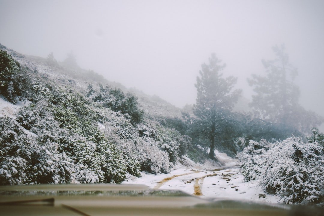
Snowfall commenced Sunday night above 5,000 feet in the Siskiyou Mountains, Mount Shasta region, and Salmon Mountains, where up to two feet piled up overnight.[2] Conditions escalated Monday as heavier bands swept into the Sierra Nevada, with rates reaching one to two inches per hour in bursts.[2]
A second system arrived Tuesday, extending the onslaught across most ranges. Forecasters projected totals exceeding 30 inches near the Interstate 80 pass by Wednesday. Peak rates hit Monday afternoon and Tuesday evening, fueled by winds gusting over 100 mph along ridges.[2]
Hardest-Hit Areas Face Extreme Totals
The western Sierra Nevada, Shasta County Coastal Ranges, and southern Cascades braced for the worst, with four to eight feet possible at elevations above 6,000 feet over three days. Lower spots could see a foot.[1] Around Lake Tahoe and Mono County, higher Sierra valleys eyed three to five feet, while valleys below claimed one to three feet. Northeast lower valleys prepared for up to six inches.[2]
| Region | Higher Elevations | Lower Elevations |
|---|---|---|
| Shasta County & Sierra West | 4-8 feet | Up to 1 foot |
| Lake Tahoe/Mono | 3-5 feet | 1-3 feet |
| Northeast Valleys | N/A | Up to 6 inches |
Warnings stretched from southwest Oregon to Southern California mountains, signaling widespread disruption.[2]
Travel Nightmares and Safety Alerts Dominate Concerns
Interstate 80, Highway 50, and Interstate 5 segments loomed as prime trouble zones, where white-out conditions and impassable roads threatened holiday travelers. Meteorologist Ashton Robinson Cook highlighted the peril: “The biggest concern is actually some of the roads up in that area – they’re going to be impassable.”[2]
Authorities urged stocking vehicles with flashlights, food, and water. The Shasta County Sheriff’s Office noted on social media, “It has seemed ‘spring-like’ for a large part of 2026, but winter is set to show it’s not quite done yet.” Strong winds amplified risks, dropping visibility near zero in the Sierras.[1]
- Expect road closures and chain controls on major Sierra routes.
- Avoid travel if possible; delays could span days.
- Monitor National Weather Service updates for real-time warnings.
- Prepare for power flickers from heavy wet snow.
- Coastal areas face dangerous surf alongside inland snow.
Residents Heed Calls to Prepare Amid Sudden Shift
After mild conditions earlier this year, the abrupt return of winter caught some off guard. Communities above 5,000 feet readied shovels, generators, and supplies. Flood risks lingered in lower areas from rain-snow mix, though snow dominated headlines.
Officials emphasized staying indoors during peak blasts. The multi-day event underscored California’s variable weather patterns, blending Pacific moisture with cold fronts.
Key Takeaways:
- Up to 8 feet of snow targets Northern California peaks through Wednesday.
- Travel on I-80, Hwy 50 becomes highly dangerous; pack essentials.
- Winter storm warnings span Oregon to SoCal mountains.
These storms serve as a stark reminder of winter’s lingering grip. Residents who hunker down stand the best chance against the onslaught. What preparations are you making? Share in the comments.