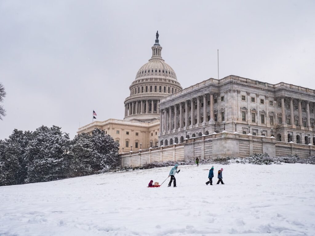

Early Morning Wind Chills Plunge Below Zero (Image Credits: Unsplash)
D.C. region – Bitter Arctic air tightened its hold Sunday, delivering subzero wind chills and temperatures stuck in the low 20s across the Washington area.[1]
Early Morning Wind Chills Plunge Below Zero
Residents faced dangerously low wind chills early Sunday, dipping into the teens and even below zero in parts of the D.C. region. Northwest winds gusting up to 30 mph exacerbated the cold, prompting cold weather alerts through the morning hours. Highs struggled to reach between 22 and 26 degrees under mostly cloudy and breezy skies.
WTOP meteorologist Mike Stinneford noted that such conditions echoed the extreme chill from the preceding weekend, when wind gusts hit 45 to 60 mph. The extreme cold warning expired Sunday morning, but the bite of winter persisted. Conditions like these raised concerns for frostbite, which medical experts warned could develop quickly on exposed skin.[2]
Sunday Night Promises No Reprieve
Clearer skies arrived Sunday evening, but lows plummeted into the single digits, with wind chills hovering near zero. Lighter northwest winds at 5 to 10 mph offered minimal comfort as the deep freeze lingered. The persistent cold followed a recent winter storm that left icy remnants complicating travel.
Commuters reported ongoing issues from piled snow and ice, described by some as “mountains of ice” blocking parking spots. Officials urged caution on slick roads as the region endured another frigid night.[3]
Gradual Warmup Signals End to Freeze
Meteorologists forecasted a modest rebound Monday, with partly cloudy skies and light west winds pushing highs to around 29 to 33 degrees. 7News First Alert Meteorologist Jordan Evans indicated this marked the start of a turnaround, though still near freezing.
A more pronounced warmup arrived Tuesday under mostly sunny conditions, with highs climbing into the mid-40s. Wednesday promised the week’s peak warmth, reaching the upper 40s near 50 degrees amid increasing clouds and a chance of evening showers. These shifts brought temperatures closer to seasonal norms, aiding ongoing snowmelt.[1]
| Day | Conditions | Highs | Winds |
|---|---|---|---|
| Sunday | Mostly cloudy, breezy | 22-26° | NW 5-15 mph, gusts 25-30 |
| Monday | Partly cloudy | 29-33° | W 5 mph |
| Tuesday | Mostly sunny | 40-45° | S 5 mph |
| Wednesday | Mostly cloudy, evening showers | 45-50° | NW 10 mph |
Health Risks and Preparation Tips
Dr. Taryn Travis highlighted the rapid onset of frostbite in such winds and cold, affecting even small uncovered areas. Exposure to wind chills near minus 15 degrees posed serious threats over the weekend.
- Layer clothing to trap body heat.
- Cover exposed skin, especially face and extremities.
- Limit time outdoors and check on vulnerable neighbors.
- Monitor roads for ice from recent storms.
- Stay updated via local alerts like those from WTOP.
Key Takeaways
- Wind chills below zero Sunday, highs in 20s.
- Lows single digits tonight.
- Warmup to 40s Tuesday, near 50 Wednesday.
The D.C. region’s latest cold snap underscored winter’s tenacity, yet the forecast offered hope for milder air soon. As melting accelerates midweek, residents can anticipate a return to more comfortable conditions. What are your plans to stay warm this week? Share in the comments.