Back-to-Back Storms Overwhelm Region (Image Credits: Flickr)
The Carolinas endured another punishing winter event as a bomb cyclone unleashed heavy snow across North Carolina and South Carolina on January 31, 2026.[1][2]
Back-to-Back Storms Overwhelm Region
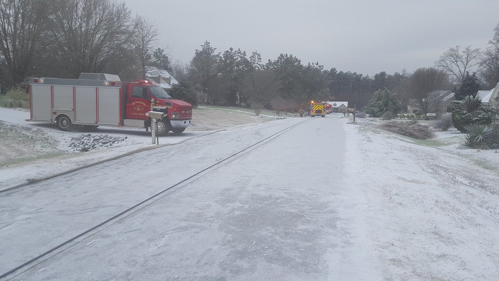
Residents faced a rare double punch from winter weather. Just a week earlier, freezing rain and sleet coated parts of the Carolinas with up to 0.30 inches of ice in Robeson County, North Carolina, leading to slick roads and scattered power outages.[3] Schools closed, and bridges iced over in areas like Wilmington and Florence, South Carolina. The latest storm shifted to snow, blanketing every county in both states.[1]
Western North Carolina saw four to nine inches accumulate by early afternoon. Charlotte recorded several inches, approaching a foot in spots, while coastal zones eyed up to 10 inches.[2] This intensity stunned a region more accustomed to mild winters. Gusty winds amplified the chaos, creating near-whiteout conditions.[4]
Travel Nightmares Grip Highways and Airports
Roads turned treacherous as snow piled up. North Carolina troopers reported 176 crashes from midnight to 9 a.m. alone, with no fatalities but widespread delays.[1] Interstate 85 near Charlotte snarled for hours after a non-injury wreck backed up semis into the evening. South Carolina officials urged drivers to stay home amid similar hazards.[2]
Hundreds of flights canceled at Charlotte and Raleigh airports. A 13-mile stretch of road closed in North Carolina’s Outer Banks due to poor visibility and overwash. State Highway Patrol posted bluntly: “Here we go again.”[1]
Snow Accumulations Vary by Region
The storm spared no corner of the Carolinas. Upstate South Carolina, including Greenville and Spartanburg, gathered several inches by midday. Myrtle Beach braced for up to eight inches overnight.[2]
| Location | Snow Total |
|---|---|
| Western North Carolina | 4-9 inches |
| Charlotte area | Several inches to 1 foot |
| Wilmington, N.C. | 5-8 inches |
| Coastal N.C. | Up to 10 inches |
These figures marked unusual depths for coastal spots like Wilmington, where the last major snowfall topped five inches in 1989.[1] Forecasts predicted 6-12 inches widespread, with blizzard risks in the east.[4]
Officials Warn of Lingering Dangers
Governor Josh Stein of North Carolina highlighted travel risks. “Our greatest concern is unsafe travel,” he said, as transportation crews logged 100-hour weeks pretreating roads.[1] Power outages loomed with a second snow band expected. Temperatures plunged below 20 degrees overnight, into single digits.[4]
Meteorologist Stephen Keebler called Wilmington’s outlook “a very rare type of event.” Coastal flooding threatened from high tides and winds. Warming centers activated regionally, though Carolinas specifics remained limited.[2]
Key Takeaways
- Bomb cyclone brought rare heavy snow after ice storm ice-up.
- Over 750 crashes reported; flights grounded across major hubs.
- Cold snaps persist into next week, with power and flood risks.
North and South Carolina residents hunkered down as snow tapered early February 1, but bitter cold endures. This unusual onslaught tests infrastructure in a rarely snow-swept area. What impacts have you seen in your community? Share in the comments.