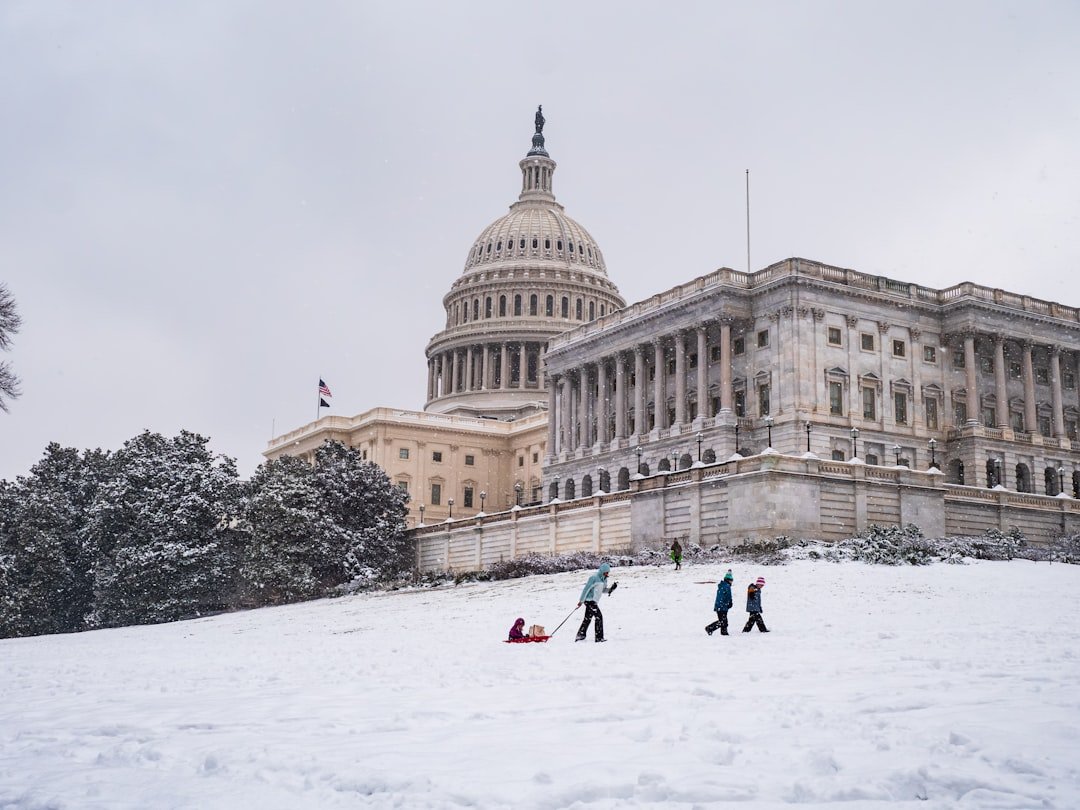
Historic Cold Snap Takes Hold (Image Credits: Unsplash)
D.C. area – A potent blast of arctic air settled over the Washington region Tuesday, ushering in the coldest prolonged period in decades just as crews worked to clear streets from a weekend snowstorm.
Historic Cold Snap Takes Hold
The area now faces nine straight days with highs below freezing, a streak not witnessed since December 1989.[1]
High temperatures will hover in the mid-20s at first, with none expected to surpass 32 degrees until next Monday. Forecasters pointed to persistent northwest winds exacerbating the chill, dropping wind chills below zero overnight and into mornings.
7News First Alert Meteorologist Eileen Whalen noted that snow and ice from the recent storm would melt slowly under these conditions.[1]
Snowfall Left Lasting Mark
The weekend storm dumped 5 to nearly 12 inches across the region, with higher totals farther out from the city core. BWI Marshall Airport recorded 11.3 inches, while spots like Cedar Grove in Frederick County and Clarksburg measured 11.8 inches each.[2]
Sleet mixed in at times, complicating cleanup efforts that stretched into midweek. Daytime thaws proved minimal, setting the stage for widespread refreezing each night.
Daily Forecast Highlights Bitter Chill
Wednesday brought partly to mostly cloudy skies, with highs between 24 and 29 degrees. Overnight lows plunged to 5-15 degrees, yielding wind chills from -10 to zero.
| Day | High (°F) | Low (°F) | Wind Chill Notes |
|---|---|---|---|
| Thursday | 23-27 | Single digits (AM) | Sub-zero possible mornings |
| Friday | 24-28 | Single digits (AM) | Sub-zero mornings |
A cold weather advisory covered overnight hours, with more likely Thursday morning.[1]
Disruptions Ripple Through Daily Life
Schools shuttered across the region Wednesday, with some districts like Prince George’s County planning closures through Thursday. Many offices followed suit.
- Metrorail ran on a weekend schedule, with trains every 15-30 minutes; frequencies aimed to ramp up later in the day. Check WMATA updates for details.
- Roads and sidewalks posed slip risks after sunset refreezes persisted.
- Pedestrian paths remained uncleared in spots, prompting calls for plowing assistance.
- Full closings list available at WTOP’s tracker.
Tips for Navigating the Freeze
Officials urged layering clothing, protecting exposed skin against frostbite, and wearing sunglasses against snow glare. Hypothermia risks rose with prolonged outdoor exposure.
Whalen highlighted the potential for another snow chance late Wednesday evening, though a larger weekend system appeared likely to track offshore.[1]
- Nine-day subfreezing highs mark the longest cold streak since 1989.
- Refreezing nights keep travel hazardous through the week.
- Monitor advisories and prepare for wind chills near or below zero.
This deep freeze tests resilience amid ongoing recovery, reminding residents that winter’s grip endures. What steps are you taking to stay warm? Share in the comments.