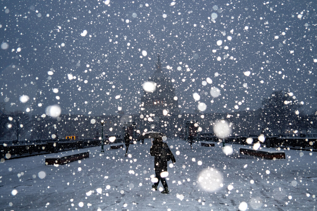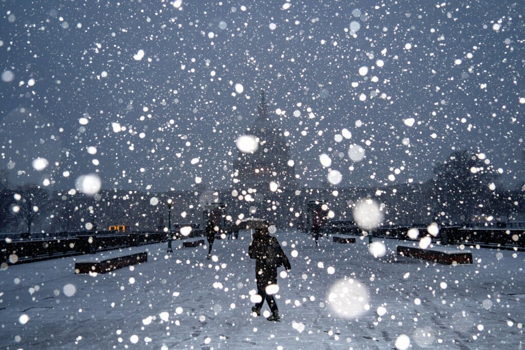
Storm Builds Momentum in Latest Models (Image Credits: Wtop.com)
Washington, D.C. – Forecasters raised their confidence Wednesday in a potent winter storm set to deliver substantial snow across the region late this weekend.
Storm Builds Momentum in Latest Models
The National Weather Service upgraded its outlook, signaling high odds for a “major” event as computer models aligned on a track straight toward the capital area.
Cold air locked in place will clash with moisture from an incoming low-pressure system, creating ideal conditions for heavy snow from Saturday evening through Sunday morning. Officials noted the setup resembles classic nor’easters that have blanketed the Mid-Atlantic in the past. Travel could grind to a halt if accumulations exceed expectations. Residents already felt a preview of the chill, with temperatures dipping sharply earlier this week.
Snowfall Projections Point to Disruptions
Projections now call for more than 8 inches in many spots, with isolated areas possibly seeing even higher totals. The storm’s core aims at the D.C. metro, Virginia suburbs, and parts of Maryland, where slick roads and power outages pose the biggest risks.
Airports and highways stand vulnerable, as recent forecasts highlighted potential flight delays and multi-vehicle pileups. Schools likely prepared closure plans, drawing from past events that shut down the region. Bitter cold will linger afterward, pushing lows into the teens by Monday.
Key Factors Driving the Threat
Several elements converged to elevate this storm’s potential. A deep trough over the eastern U.S. funneled frigid Canadian air southward, while a coastal low intensified off the Southeast.
Forecasters tracked these developments closely since early in the week. Dry slots ahead of the front initially tempered enthusiasm, but recent runs showed robust moisture feeds. The result: a narrow band of heaviest snow favoring urban cores over rural fringes.
Preparation Steps for Residents
Local authorities urged proactive measures as the timeline sharpened. Stockpiling essentials topped the list, alongside checking vehicles for winter readiness.
- Clear gutters and downspouts to prevent ice dams.
- Charge devices and secure backup power sources.
- Plan alternate routes and monitor road conditions via official apps.
- Layer clothing and limit outdoor time during peak cold.
- Stay informed through National Weather Service updates.
These actions mirror advice from prior storms that caught some off guard. Communities in similar setups learned quickly from past oversights.
Broader Regional Outlook
The system threatens a swath from the South to New England, with over 175 million in its path according to extended forecasts. Ice could mix in farther south, while New Jersey eyed 6 inches or more.
Here in the D.C. area, the focus remained on pure snow, a rarity so early in the season. Warmer pockets near the coast might trim totals slightly, but inland zones faced the full brunt.
Key Takeaways
- Storm arrives late Saturday, peaks Sunday with 8+ inches possible.
- Cold air ensures snow over rain; travel bans likely.
- Prepare now: supplies, vehicles, and weather alerts essential.
This weekend’s threat underscores winter’s unpredictability in the Mid-Atlantic – stay vigilant to navigate it safely. What preparations are you making? Share in the comments.


