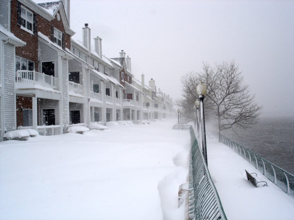
Arctic Air Fuels the Incoming Threat (Image Credits: Wikimedia)
Mid-Atlantic – Residents across the region prepare for a potent winter storm that promises to deliver snow, sleet, and ice from Friday afternoon through Saturday, complicating post-holiday journeys.
Arctic Air Fuels the Incoming Threat
A surge of frigid air from southeastern Canada has already begun influencing the Mid-Atlantic, creating ideal conditions for wintry precipitation. Strong high pressure over southeast Canada will lock this cold mass in place, ensuring surface temperatures remain at or below freezing during the event. Meteorologists note that this setup will transform a developing low-pressure system into a formidable storm, with impacts peaking late Friday into early Saturday.
The National Weather Service has issued Winter Storm Watches for parts of Pennsylvania, New York, and surrounding areas, signaling potential for significant accumulations. Travel along major routes like the I-95 corridor could turn hazardous quickly as precipitation ramps up. Early forecasts indicate the storm’s track will favor heavier snow farther north, while southern zones face a risk of mixed wintry elements.
Snow-Heavy Impacts in the Northern Corridor
New York City metro, central and northern New Jersey, and east-central to northeastern Pennsylvania stand to receive the brunt of the snowfall. Expect primarily snow throughout the duration, with accumulations ranging from 5 to 9 inches in many spots. Some sleet may mix in during heavier bands, but overall, the event shapes up as a classic snowstorm for these areas.
Surface temperatures will hover below freezing, allowing snow to pile up without much melting. This could lead to slick roads and reduced visibility, especially during the Friday evening commute. Authorities advise delaying non-essential travel, as plowing operations may struggle to keep pace with ongoing snowfall rates.
Mixed Precipitation Challenges Southern Areas
Farther south, the Philadelphia metro and northern Delaware will see a blend of snow and sleet dominating the forecast. Accumulations could reach 2 to 5 inches of snow early on, topped by a layer of sleet that adds to the slippery conditions. Freezing rain remains a possibility later in the storm, potentially glazing surfaces and weighing down power lines.
Temperatures in these zones will stay mostly below freezing, though brief warm-ups might introduce more variety to the precipitation types. The shift to sleet and possible ice could exacerbate travel woes, with some forecasts warning of ice buildup up to a quarter-inch in vulnerable spots. Drivers should equip vehicles with winter tires and monitor road closures in real time.
Ice Risks Heighten Concerns Around the Capital
In the Washington, D.C., metro area, the storm introduces a more complex mix of rain, freezing rain, and sleet. Northern and western suburbs face the greatest threat of ice accumulation, where colder pockets could lead to hazardous black ice on untreated roads. Even brief episodes of freezing rain might coat bridges and overpasses, turning routine commutes into high-risk endeavors.
While snow may play a lesser role here, the potential for sleet to transition into glaze underscores the need for caution. Recent holiday travel disruptions from earlier systems have already strained airports and highways; this storm could compound those issues through the weekend. Local emergency services urge residents to stock essentials like salt and shovels in anticipation.
Preparing for Widespread Disruptions
Across the Mid-Atlantic, the storm’s timing aligns with lingering post-Christmas traffic, raising the specter of widespread delays. Airlines have reported over 2,000 flight delays in recent days due to similar weather, and ground transport faces similar hurdles. A quick comparison of expected impacts highlights the variability:
| Area | Primary Precipitation | Accumulation |
|---|---|---|
| NYC Metro/NJ/NE PA | Snow (some sleet) | 5-9 inches |
| Philly Metro/N. DE | Snow/sleet (possible freezing rain) | 2-5 inches snow |
| DC Metro | Rain/freezing rain/sleet | Up to 0.25 inches ice |
Key preparation steps include checking vehicle readiness and avoiding travel during peak hours. Communities in higher-elevation areas, like the Pennsylvania hills, may see enhanced effects from the cold air damming.
Key Takeaways
- Monitor updates from the National Weather Service for evolving forecasts.
- Plan alternate routes or delays for Friday evening and Saturday morning travel.
- Prepare homes with backup heat sources to counter potential power outages from ice.
As this winter system bears down, its reminder of seasonal vulnerabilities calls for proactive measures to safeguard lives and property. The storm’s legacy may linger in cleanup efforts, but staying informed will help navigate the challenges ahead. What are your plans to handle the weather this weekend? Share in the comments below.

Jan loves Wildlife and Animals and is one of the founders of Animals Around The Globe. He holds an MSc in Finance & Economics and is a passionate PADI Open Water Diver. His favorite animals are Mountain Gorillas, Tigers, and Great White Sharks. He lived in South Africa, Germany, the USA, Ireland, Italy, China, and Australia. Before AATG, Jan worked for Google, Axel Springer, BMW and others.