is the most dramatic show we never stop watching, yet most of us only glance at the forecast and move on. Behind every strange cloud, sudden gust, or eerie glow in the sky, there’s a story of invisible forces colliding and balancing. Scientists are now uncovering patterns in these wild displays that were once dismissed as superstition, pilot’s tales, or sailor’s lore. Understanding them is not just a matter of curiosity; it’s about safety, climate awareness, and even the future of prediction. Let’s step behind the familiar icons on your app and meet ten of the atmosphere’s most fascinating tricks up close.
The Green Sky Before a Storm
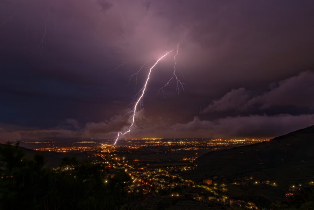
Ask storm chasers about the most unsettling sight before a severe storm, and many will talk about a sky that suddenly turns an eerie green. For generations, people treated this as a supernatural omen, but researchers now link green skies to towering thunderstorms packed with hail and intense rain. When the sun is low and its red and yellow light filters through a thick curtain of moisture and ice, the scattered light can take on a greenish tint. The effect is especially strong in massive supercells, where sunlight passes through miles of water-dense cloud. That ghostly color can be a visual clue that the atmosphere is primed for something dangerous.
While a green sky does not guarantee a tornado, it often appears in the same environments that produce large hail and destructive winds. Meteorologists caution that it’s better to treat it as a serious warning sign than a curiosity to photograph. In my own experience covering Midwestern storms, people often said they felt a physical sense of unease when the sky shifted from gray to green, as if the body recognized the danger before the brain did. It is one of those rare cases where folklore and physics line up: when the sky goes green, you should already be heading for shelter. The science explains the color, but the fear it inspires still feels primal.
Morning Glory Clouds: The Rolling Wave in the Sky

Imagine waking up to find a perfectly rolled cloud tube, stretching from horizon to horizon, silently gliding across the sky like a slow-motion tidal wave. That’s the Morning Glory cloud, most famously seen over northern Australia’s Gulf of Carpentaria but reported in a few other coastal regions. These long, cylindrical clouds can extend hundreds of miles and are often so smooth and straight they look like something drawn with a ruler. They form when sea breezes, temperature inversions, and shifting pressure patterns line up just right, stacking air in a way that creates a rolling wave along the boundary between air masses. Pilots who ride gliders sometimes treat these clouds like an aerial surf break, riding the updraft along the leading edge.
Morning Glory clouds are a powerful reminder that the atmosphere behaves like a fluid, full of waves, ripples, and currents we rarely see. Local Indigenous communities in Australia had stories about these clouds long before meteorologists had equations for them, reading them as signs of shifting seasons and winds. Scientists now use high-resolution models and satellite data to simulate how these waves form, which also helps improve our understanding of turbulence and low-level winds near coasts. Even so, they remain rare enough that spotting one feels like winning a strange and beautiful weather lottery. If you ever see one, you are watching the sky’s version of an ocean swell breaking in slow, majestic silence.
Ball Lightning: The Elusive Fire Orbs of Thunderstorms
For centuries, stories of glowing spheres drifting through stormy skies were brushed aside as exaggerations or hallucinations. Yet ball lightning, those floating, luminous orbs seen during or after thunderstorms, keeps turning up in credible eyewitness reports and a handful of scientific observations. People describe them as bright spheres, often the size of a grapefruit or larger, lingering for several seconds and sometimes passing through windows or disappearing with a bang and a smell of sulfur. Despite intense interest, scientists still don’t fully agree on what causes them, though leading ideas include plasma formations, vaporized materials from lightning strikes, or electromagnetic effects in the air. In modern times, video recordings and rare field measurements have given this once-mythical phenomenon a place in serious atmospheric research.
What makes ball lightning so fascinating is that it sits right on the edge of science and mystery, where our instruments and theories struggle to keep up. Laboratory experiments have created short-lived glowing balls using high-voltage discharges, hinting that real ball lightning might involve similar processes on a grander scale. Still, there is no single model that explains all the reports, including those seen indoors or moving horizontally against the wind. The fact that we can send probes to other planets but still cannot fully explain a glowing ball in a thunderstorm says something humbling about our understanding of nature. Every new documented sighting is less like a ghost story and more like a valuable data point in an unfolding scientific puzzle.
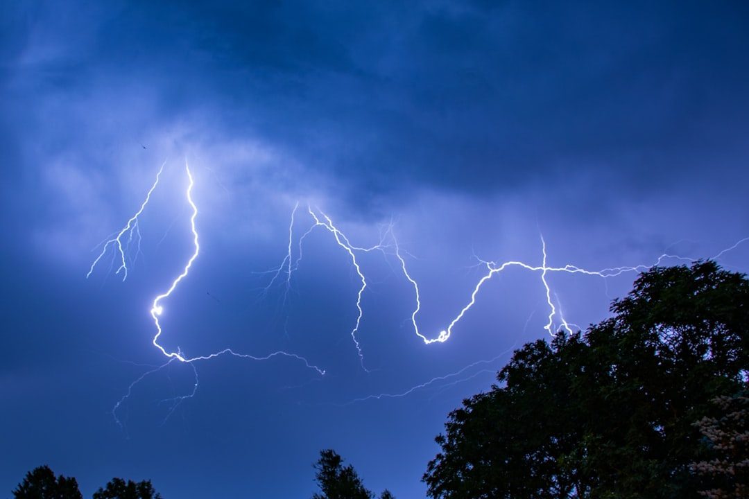
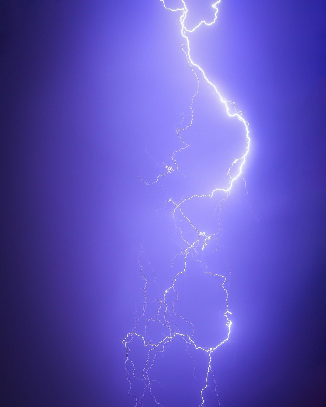
Sprites, Elves, and Blue Jets: Lightning’s Secret Upper-Class
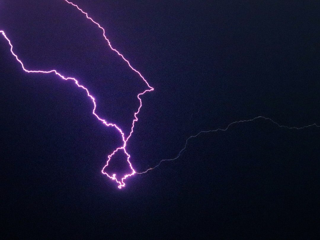
For a long time, lightning research focused on what happened below the clouds, where bolts strike trees, buildings, and power lines. High above the storm, however, the sky was putting on a second, hidden show that pilots sometimes glimpsed in the corner of their eye: towering red flashes, expanding halos, and narrow blue beams shooting upward. These are transient luminous events such as sprites, elves, and blue jets, now captured in high-speed videos from aircraft, satellites, and even dedicated observatories. Sprites look like enormous, branching red jellyfish above thunderstorms, while elves appear as brief rings of light expanding rapidly at the edge of space. Blue jets, by contrast, are narrow and fast, spearing upward from thundercloud tops like electric fountains.
These upper-atmosphere fireworks form when strong lightning strokes disturb the thin, electrified air near the boundary of space, triggering complex electrical and chemical reactions. Scientists once doubted their existence, but now they are a major area of research into how thunderstorms interact with the upper atmosphere and even influence the chemistry of the ozone layer. Some satellite missions are mapping these events around the globe, revealing that they are not rare at all, just hard to spot from the ground. They also help explain how energy moves vertically through the atmosphere, connecting everyday weather to near-space environments that affect radio communication and satellites. In a way, they show us that lightning is not a simple ground-to-cloud affair, but a multi-layered electrical drama spanning tens of miles in height.
Thundersnow: When Winter Storms Roar
The idea of thunder and lightning during a snowstorm sounds like a contradiction, but thundersnow turns that expectation upside down. It happens when a winter storm is so vigorous that it builds the kind of strong updrafts usually associated with warm-season thunderstorms. Inside those turbulent clouds, ice crystals and graupel collide, building up electrical charge just as in a summer storm. Instead of heavy rain, though, the storm dumps intense snow while lightning flickers and thunder rumbles, often muffled by the snow itself. To anyone standing outside, the sudden flash over a whiteout landscape feels almost cinematic, like weather from another planet.
Thundersnow is relatively rare but tends to show up in powerful nor’easters, intense lake-effect storms, and strong frontal systems. Meteorologists pay close attention when it appears, because it often signals extreme snowfall rates that can rapidly shut down roads and airports. A single hour of thundersnow can drop several inches of accumulation, overwhelming plows and emergency responders. From a science perspective, these storms help bridge the gap between our understanding of warm-season convection and cold-season dynamics, revealing how similar physics can produce wildly different weather. From a human perspective, hearing thunder in a snowstorm is one of those moments that makes you stop, look up, and realize just how alive the sky really is.
Dust Devils and Fire Whirls: Spinning Columns on a Smaller Scale
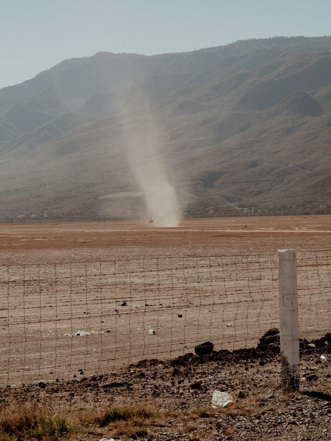
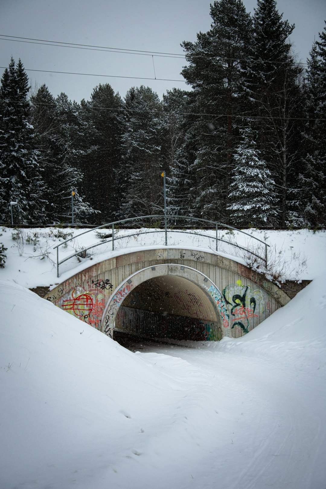
Not all dramatic weather needs towering storm clouds; sometimes the show happens just a few hundred feet off the ground. Dust devils are slender, spinning columns of air that form on hot, sunny days when the ground heats unevenly. Warm air near the surface rises quickly, begins to rotate, and picks up dust or debris, making the vortex visible as it dances across fields, parking lots, or desert flats. Most dust devils are harmless and fade within minutes, but a few can be strong enough to topple lightweight structures or flip small objects. They provide a fascinating, scaled-down model of how larger vortices, including tornadoes, organize themselves around energy and instability.
Fire whirls, their more dangerous cousins, form when intense heat from a wildfire or industrial fire causes air to rise and spin. These swirling pillars of flame and ash can hop over firebreaks, fling burning debris, and significantly complicate firefighting efforts. With hotter and drier conditions in many regions, firefighters report encountering fire whirls more often in large, fast-moving blazes. Researchers are using high-speed cameras and computer models to understand how terrain, wind, and fuel conditions combine to produce these fiery vortices. While dust devils might inspire curiosity and amusement, fire whirls are a stark reminder of how quickly weather and climate extremes can turn lethal on the ground.
Virga and Sundogs: Optical Illusions of Ice and Light
Some of the most beautiful weather phenomena never actually reach the ground. Virga is the name for rainfall or snowfall that appears as streaks trailing from a cloud but evaporates or sublimates before it arrives at the surface. It is common in dry regions, where raindrops fall into layers of warm, dry air and vanish on the way down. From a distance, virga looks like ghostly curtains hanging from the base of clouds, sometimes bending or twisting in the wind. For pilots, these streaks are more than pretty scenery; they can signal turbulent downdrafts and shifting winds beneath the cloud.
Then there are sundogs, those bright spots of light flanking the sun, often seen on cold days when the air is filled with tiny ice crystals. As sunlight passes through the hexagonal crystals, it refracts and creates halos and bright patches that seem to hover beside the sun like twin moons. Sundogs often appear when thin cirrus clouds or icy haze drift across the sky, offering a visual hint that the upper atmosphere holds ice even when the ground feels mild. Together, virga and sundogs show how much information about the atmosphere is written in light and shadow, if we know how to read it. They also remind us that weather is not only about what we feel on our skin, but what we can see etched across the sky in fleeting patterns.
Why These Phenomena Matter Beyond the “Wow” Factor
It is tempting to treat green skies, sprites, or fire whirls as atmospheric trivia, the kind of thing you might file away for a future quiz night. But each of these phenomena exposes a piece of how energy, moisture, and motion move through the atmosphere on scales that range from meters to tens of miles. Traditional weather forecasting focused heavily on surface measurements and radar echoes, giving us a narrow view of what storms were doing. Now, by studying upper-atmosphere lightning, rare cloud formations, and unusual vortices, scientists are filling in the missing layers of the atmospheric story. That deeper understanding feeds back into better risk assessment for aviation, wildfire response, and severe storm warnings.
These phenomena also provide natural laboratories for testing physics under extreme conditions, from rapid charge separation to turbulent mixing and radiative transfer. When we model how a Morning Glory cloud rolls or how a sprite flashes, we are also improving the equations that go into global weather and climate models. Comparing old sailors’ tales or Indigenous knowledge with modern observations often reveals that past generations had sharp, experience-based insight into patterns we are only now quantifying. In that sense, paying attention to so-called “odd” weather is not a distraction from serious science; it is one of the ways atmospheric science advances. The next big improvement in forecasting or climate understanding might come from studying a phenomenon that today still feels like a curiosity.
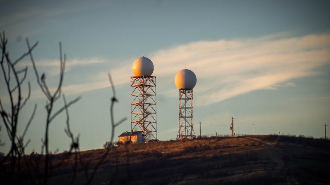
The Future of Weather Watching: From Citizen Cameras to Space-Based Eyes
The next chapter in understanding unusual weather will not be written by satellites and supercomputers alone. Everyday people now carry high-resolution cameras in their pockets, and a single clear video of ball lightning or a rare sprite can give scientists data they never had before. Crowdsourced weather networks already let people report hail, strange clouds, or thunder snow in real time, feeding into research projects and forecast models. At the same time, new satellite constellations and high-speed lightning mappers are scanning Earth’s atmosphere with unprecedented detail, capturing transient events that used to slip by unnoticed. The combination of big data from space and small data from the ground is starting to reveal patterns in when and where these rare displays occur.
Looking ahead, machine learning tools are being trained to scan satellite images and radar fields for subtle signatures of unusual phenomena, essentially teaching computers to spot the atmosphere’s “Easter eggs.” This could help aviation planners steer clear of hazardous upper-atmosphere lightning or help fire managers anticipate when fire whirls are more likely to form. There are also questions about how a warming climate might change the frequency or intensity of certain phenomena, such as dry thunderstorms that spark wildfires or intense snowfall events that produce thundersnow. By framing these questions now, scientists can watch for early signals in long-term datasets instead of being surprised later. The sky may always keep some secrets, but the tools we have now mean we are better poised than ever to catch its strangest moments in the act.
How You Can Engage With the Wild Side of Weather
You do not need a degree in atmospheric science to become part of this unfolding story; you just need curiosity and a bit of caution. The next time you notice an odd color in the sky, a rainbow halo around the sun, or sleet accompanied by distant thunder, take a moment to really look instead of just rushing inside. Many meteorological societies and research projects welcome public photos and reports of unusual weather, especially when they include time, location, and a brief description. Some weather apps already let users submit ground reports, which can help confirm rare events that satellites or radars have trouble interpreting. As long as safety comes first, being an attentive observer of the sky can turn everyday walks or commutes into low-key fieldwork.
If you want to go a step further, you can support local weather stations, storm spotter trainings, or citizen science platforms that collect environmental observations. Even simply sharing accurate information about severe weather risks within your community can make a difference when rare but dangerous events unfold. On a personal level, learning about these phenomena changes the way you experience a stormy day, turning confusion or fear into informed respect. The atmosphere will do what it does whether we pay attention or not, but understanding its quirks makes us better neighbors, voters, and stewards. The next time the sky does something strange, will you look away – or look closer?

Suhail Ahmed is a passionate digital professional and nature enthusiast with over 8 years of experience in content strategy, SEO, web development, and digital operations. Alongside his freelance journey, Suhail actively contributes to nature and wildlife platforms like Discover Wildlife, where he channels his curiosity for the planet into engaging, educational storytelling.
With a strong background in managing digital ecosystems — from ecommerce stores and WordPress websites to social media and automation — Suhail merges technical precision with creative insight. His content reflects a rare balance: SEO-friendly yet deeply human, data-informed yet emotionally resonant.
Driven by a love for discovery and storytelling, Suhail believes in using digital platforms to amplify causes that matter — especially those protecting Earth’s biodiversity and inspiring sustainable living. Whether he’s managing online projects or crafting wildlife content, his goal remains the same: to inform, inspire, and leave a positive digital footprint.