Off Japan’s far southwest, where hammerhead sharks glide along cobalt drop-offs, a stepped stone massif rises from the seafloor and refuses to yield its secret. Divers call it the Yonaguni Monument; skeptics call it textbook geology; believers whisper about a drowned city. Since a local diver first spotted its razor-edged terraces in 1986, the site has hovered between legend and lab report, teasing us with right angles in a realm shaped by waves. The question is simple but sticky: are we staring at ancient engineering or nature’s geometry at work? The answer remains tantalizingly balanced on the edge of a chisel mark – or a fracture plane.
The Hidden Clues
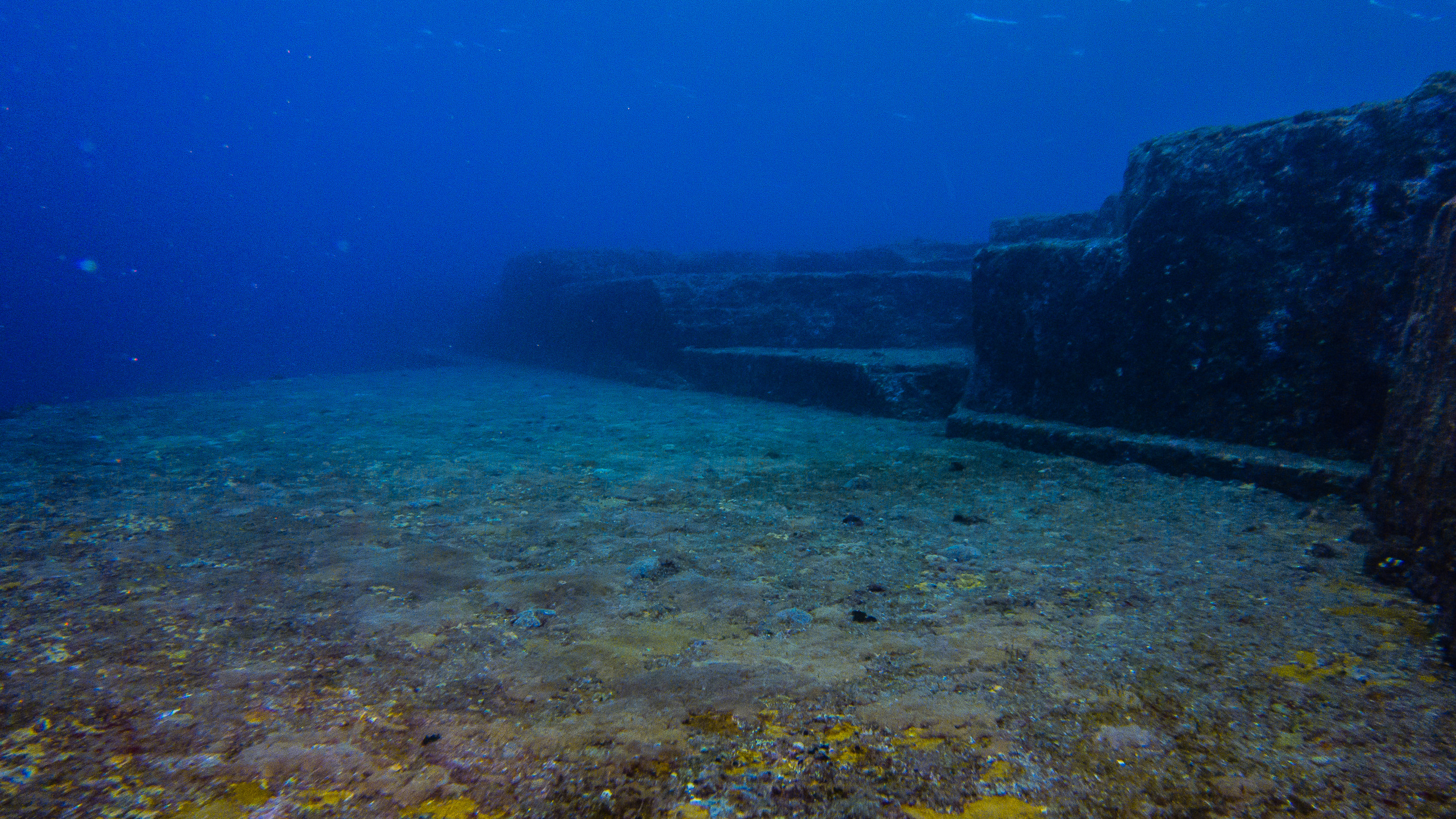
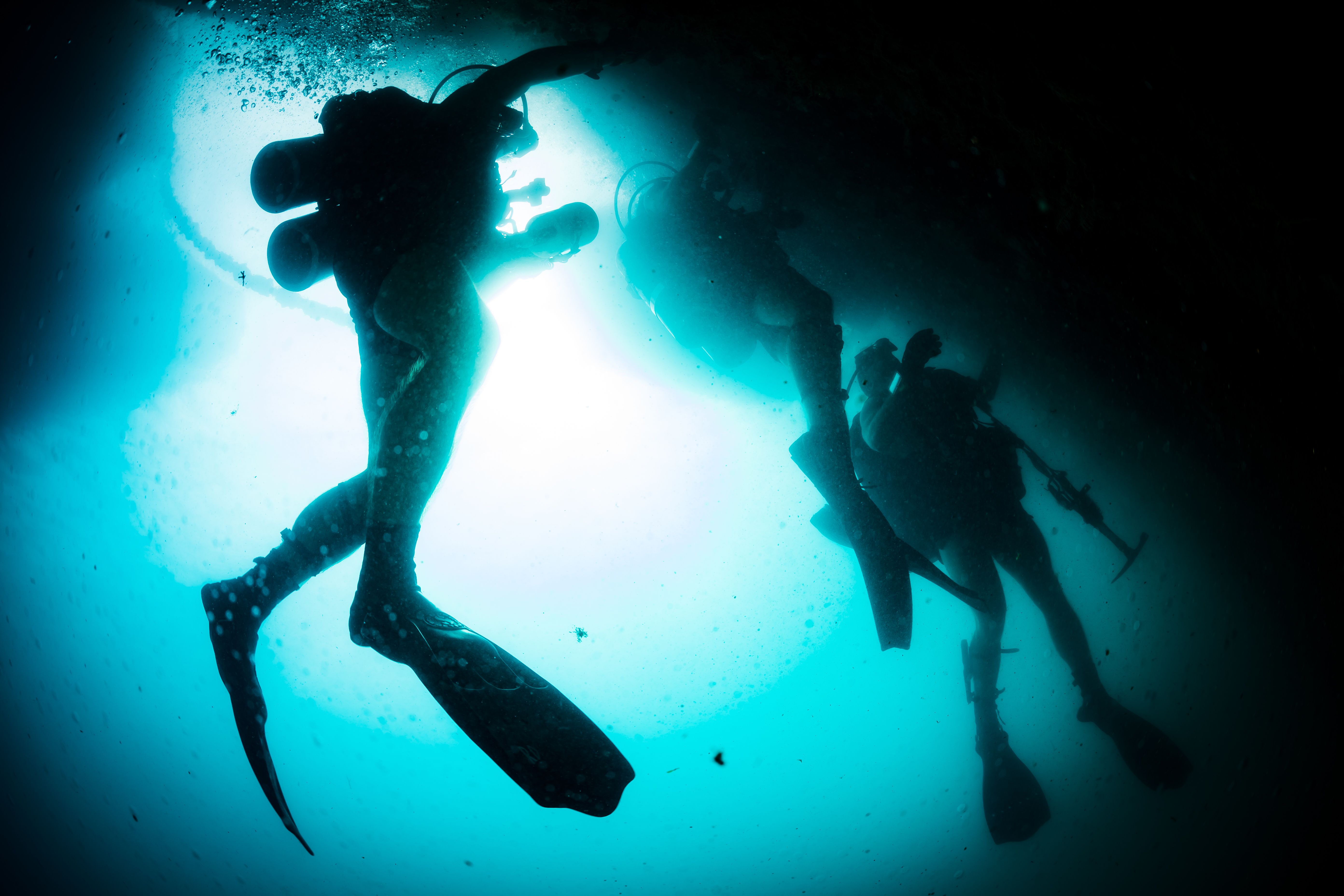
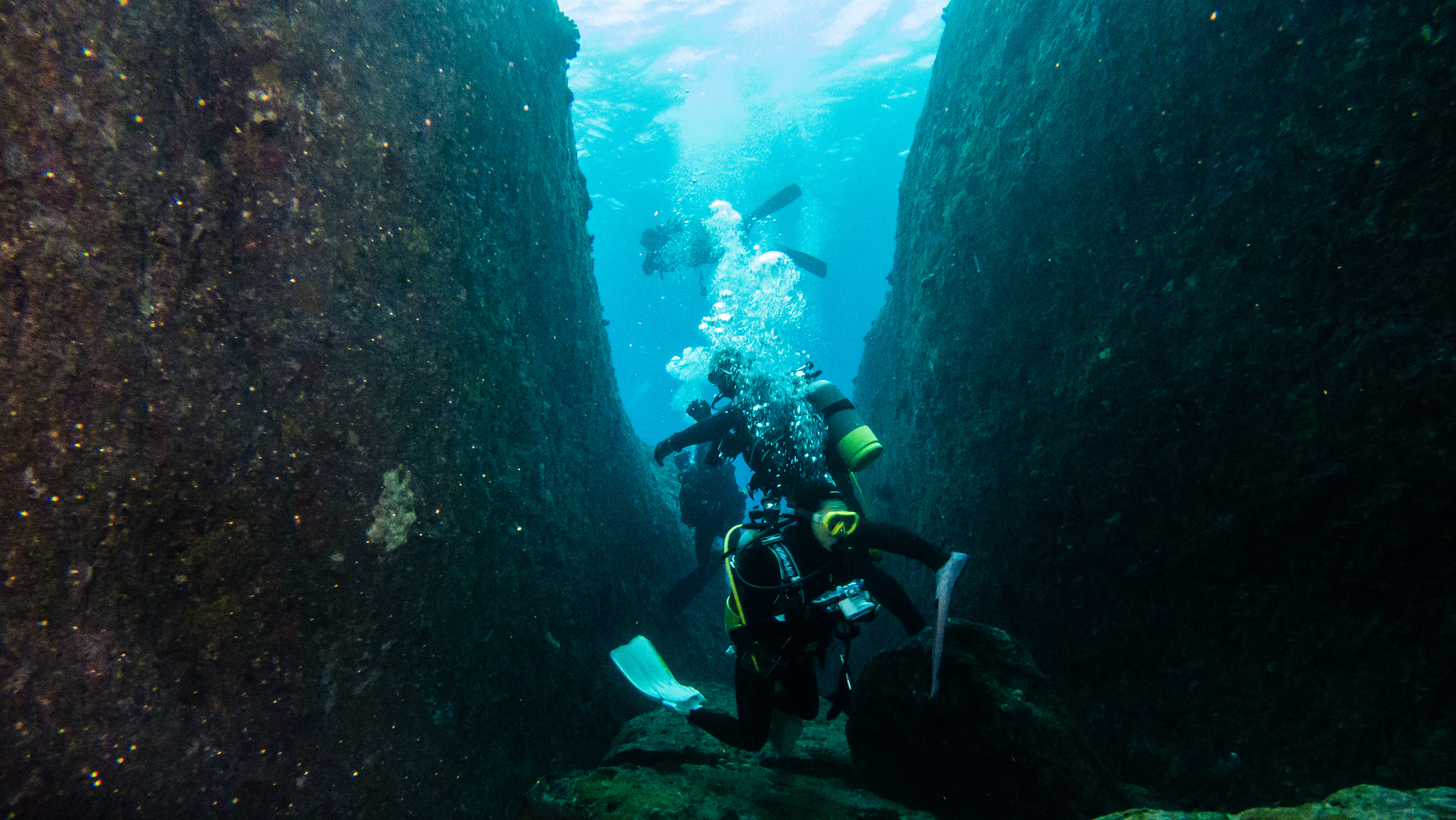
The formation sits roughly a hundred kilometers from Taiwan, at depths that challenge even seasoned divers when currents rip across the plateau. There, broad platforms, sharp ledges, and what look like stairs stack up in dramatic tiers, producing the kind of symmetry that makes human hands feel close. Swim along the southern face and you meet corners that seem too crisp, corridors that seem too straight, and a looming block that feels uncannily like a stage.
That visual shock explains why the site swiftly gained a nickname as Japan’s Atlantis. Yet first glances can lie underwater, especially when light fades, silt dances, and scale skews our senses. The hidden clue, many geologists argue, isn’t in the angles themselves but in the bedrock’s habit of breaking along natural planes, repeating patterns that masquerade as design.
From Ancient Tools to Modern Science
Early arguments leaned on photographs and diver sketches, but today’s documentation looks very different. Teams now stitch thousands of overlapping images into photogrammetric models, revealing micro-fractures and ledge continuity that single snapshots miss. Multibeam sonar adds precise depth contours, while stabilized video helps separate shadow from stone.
Those datasets let researchers test specific claims the way a conservator studies paint layers. Are edges consistently tool‑straight, or do they wobble on close inspection? Do supposed “roads” align with current-scoured channels and bedding planes, or wander in ways architecture rarely does?
Reading the Rock: What the Geology Says
Yonaguni’s platform belongs to the Lower Miocene Yaeyama Group – sandstones and mudstones laid down roughly twenty million years ago. Such rocks commonly fracture along bedding and joint sets, producing rectilinear faces that weather like stacked masonry. In a seismically active island arc, repeated tremors can sharpen those lines, while currents plane surfaces clean.
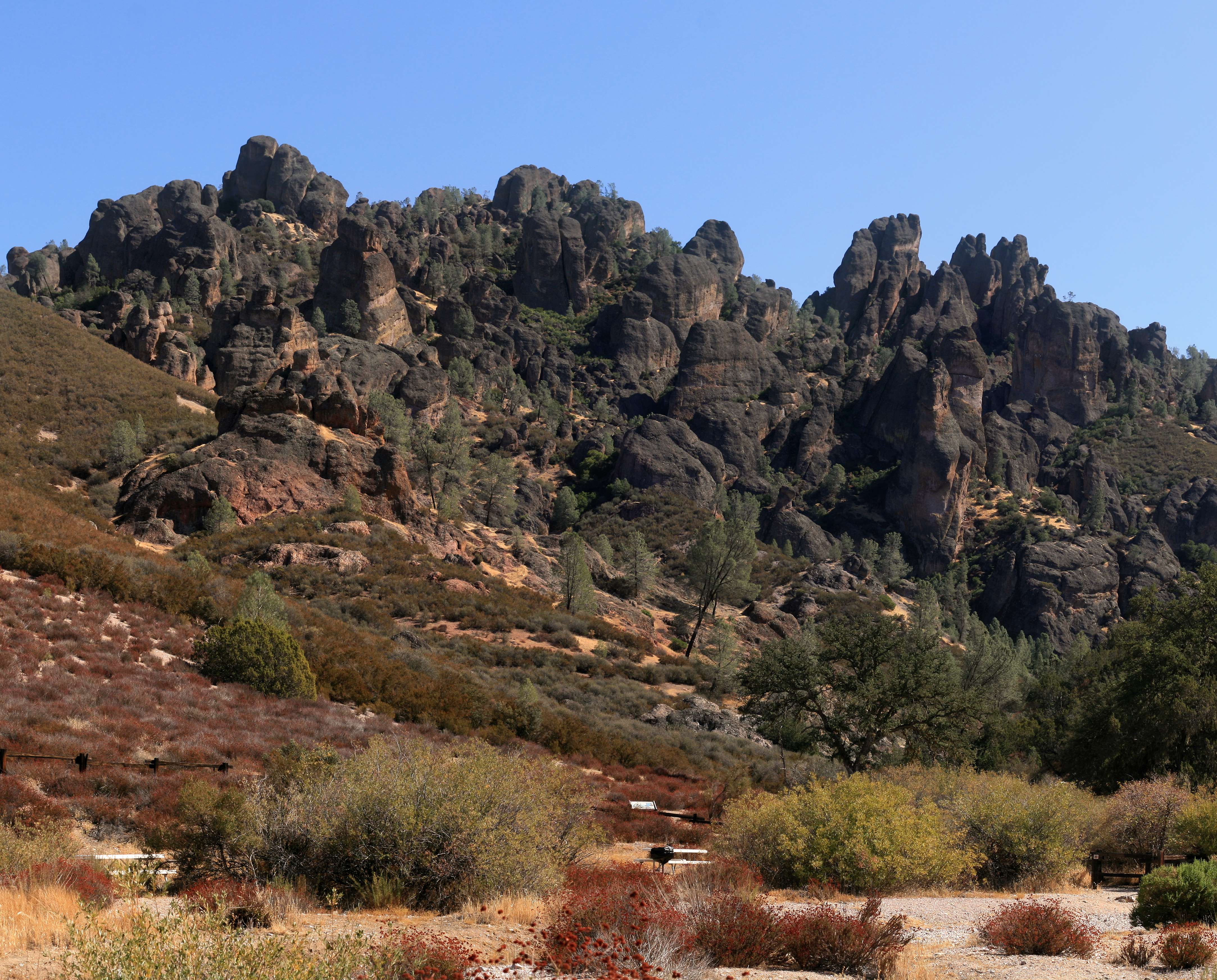
On nearby cliffs, similar stair-step forms appear in the dry, offering a handy control sample above the tide line. The underwater monument’s continuity with the island’s geology is a powerful argument for a natural origin. To a field geologist, the site reads less like a blueprint and more like a textbook illustration of jointing and erosion.
The Human Imprint: Artifact or Illusion?
Proponents of a lost city point to what they interpret as causeways, walls, even a stadium-sized hollow, and some propose fantastically early dates. But for archaeology to bite, the checklist demands more than shapes: tools, habitation debris, worked stone, datable material. After decades of diving, widely accepted cultural artifacts remain conspicuously absent.
There is a middle path that intrigues some researchers: a natural platform later modified in small ways when sea levels were lower. Minor chiseling or quarrying would not rewrite human history, but it could explain the occasional feature that looks just a little too neat. For now, assertions of grand architecture hang on forms that geology can already reproduce without human help.
Why It Matters
Yonaguni is a stress test for how we tell stories about the past when evidence is suggestive but incomplete. The site sits at the crossroads of marine geology, archaeology, and public imagination, where misread patterns can travel faster than peer review. If we accept geometry alone as proof of civilization, we risk inflating mirages and sidelining the slow work that anchors science.
Compared with traditional terrestrial digs, underwater sites demand stricter standards: poor visibility, biofouling, and limited dive times magnify error. Yonaguni reminds us why corroborating lines of evidence – stratigraphy, artifacts, and repeatable mapping – matter more than dramatic photos. The stakes are larger than one formation: it’s about keeping the boundary between wonder and wishful thinking sharp.
Global Perspectives

Nature loves a straight line more than we think. Basalt organ pipes at the Giant’s Causeway, tessellated pavements in Tasmania, and orthogonal joints in desert sandstones all echo the same tidy geometries. Yonaguni belongs in that gallery of forms that trick the eye and tempt myth-making.
Policy adds another lens: Japan’s cultural authorities have not designated the site an artifact, leaving formal preservation and research to universities and private teams. Meanwhile, tourism thrives, with divers chasing photos between winter swells and schools of hammerheads. The economic pull is real, but so is the responsibility to frame the story with accuracy.
The Future Landscape
What will finally tip the scales is not a single spectacular image but methodical, open data. Expect finer-grained 3D models built from photogrammetry and laser‑calibrated lights, plus AUV surveys that can fly lower and longer in rough currents. Machine‑learning classifiers trained on known tool marks versus natural fractures could test claims at scale.
Equally important is environmental context: sediment cores for sea‑level timelines, microfossils for dating, and current‑flow modeling to map where scouring sharpens edges. Add clear protocols for sample collection and public repositories for raw data, and debates can move from viral intrigue to measurable evidence.
The Hidden Clues We Still Need
Three questions frame the next phase. First, can teams recover unambiguous cultural material from protected pockets within the structure, or does every test pit turn up only sea life and broken sandstone? Second, do microtopographic surveys reveal rhythmic joint spacing that matches regional geology, or patterns more like quarrying?
Third, can shoreline analogs provide a precise template to map underwater features one‑to‑one? If the same steps, corners, and ledges recur on land with no human hand involved, the underwater illusion grows easier to explain. If not, the case for subtle modification strengthens – without leaping to a sunken metropolis.
Conclusion
If Yonaguni fascinates you, channel that curiosity into signal, not noise. Support projects that publish raw imagery and maps openly so independent teams can test results. When sharing photos online, add context about currents, lighting, and scale; a meter stick in frame does more for clarity than a thousand adjectives.
Divers can help by following local guidelines, avoiding contact with surfaces that host fragile marine life, and contributing geotagged imagery to research repositories. Readers can back university field schools and marine geology labs that do the slow, careful work. Wonder is welcome – so is evidence.

Suhail Ahmed is a passionate digital professional and nature enthusiast with over 8 years of experience in content strategy, SEO, web development, and digital operations. Alongside his freelance journey, Suhail actively contributes to nature and wildlife platforms like Discover Wildlife, where he channels his curiosity for the planet into engaging, educational storytelling.
With a strong background in managing digital ecosystems — from ecommerce stores and WordPress websites to social media and automation — Suhail merges technical precision with creative insight. His content reflects a rare balance: SEO-friendly yet deeply human, data-informed yet emotionally resonant.
Driven by a love for discovery and storytelling, Suhail believes in using digital platforms to amplify causes that matter — especially those protecting Earth’s biodiversity and inspiring sustainable living. Whether he’s managing online projects or crafting wildlife content, his goal remains the same: to inform, inspire, and leave a positive digital footprint.