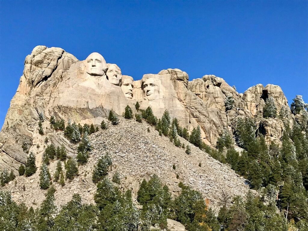
The Black Hills and Badlands of South Dakota often appear as a rugged postcard from America’s deep geologic past, yet scientists say these landscapes are far more dynamic—and surprising—than their stoic silhouettes suggest. For decades, researchers believed these formations were simply ancient remnants of uplift and erosion, but emerging studies reveal hidden volcanic forces, fossil treasures, and evolving ecosystems that challenge long-held assumptions. Visitors see dramatic spires and wind-carved canyons; geologists see a living archive that continues to reshape itself with every freeze–thaw cycle. New climate data, high-resolution mapping, and unexpected fossil finds now point to a region that is both older and more ecologically complex than previously imagined. As science peels back new layers, the Black Hills and Badlands are becoming one of the most important natural laboratories in North America.
The Hidden Clues
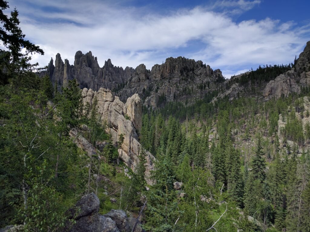
The Black Hills rise like an island of pine forest above the surrounding plains, but their story begins more than 60 million years ago with a mysterious uplift that scientists now link to deep mantle disturbances. Recent seismic imaging suggests that portions of the crust here were bent and pushed upward in pulses, leaving behind subtle structural quirks that researchers are only now able to map. These hidden clues help explain why some rock layers tilt at unexpected angles or why gold and rare minerals concentrate in narrow seams. Paleobotanists studying fossil pollen have found evidence of once-lush subtropical environments, revealing the Black Hills of the Paleocene looked more like modern-day Louisiana. These discoveries challenge the simplistic notion that the region is geologically uniform. Each clue points to a landscape that has reinvented itself repeatedly—often in ways that defy initial expectations.
From Ancient Tools to Modern Science
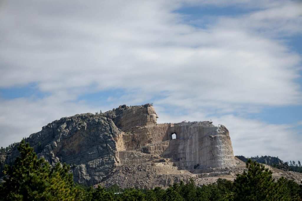
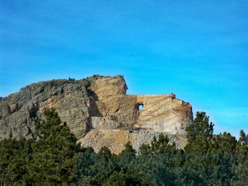
Archaeological finds show that Indigenous communities have used the Black Hills for at least 12,000 years, navigating their shifting ecosystems with precision and care. Early tools made from local chert and quartzite demonstrate an intimate understanding of the region’s geology long before modern scientists attempted to map it. Today’s researchers rely on LIDAR, isotopic dating, and drone-based surveys to probe what early inhabitants learned through observation and experience. These technologies have revealed intricate patterns in erosion, hydrology, and vegetation that help explain why certain valleys served as seasonal migration routes. Anthropologists now collaborate closely with Lakota knowledge keepers to compare oral histories with scientific reconstructions, often finding striking alignment. This blend of ancient insight and modern methodology provides a rare, multidimensional view of the region’s past.
Fossils in Unexpected Places
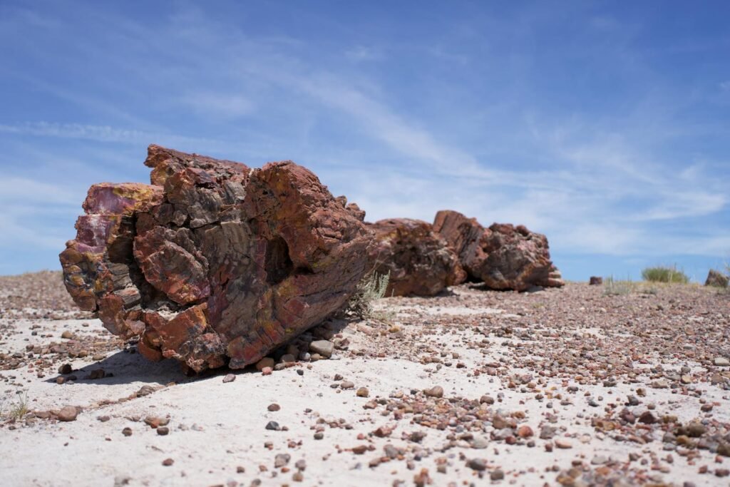
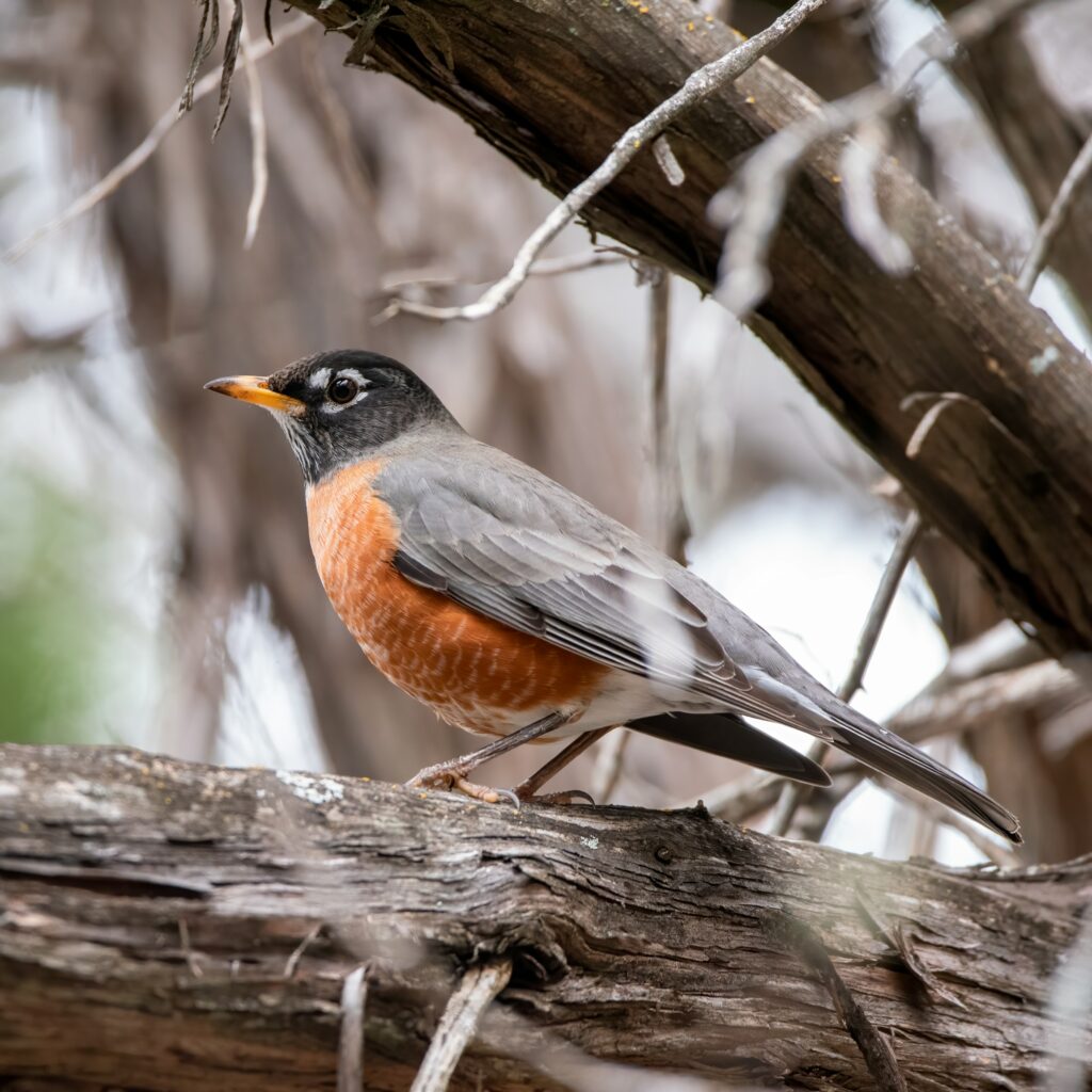
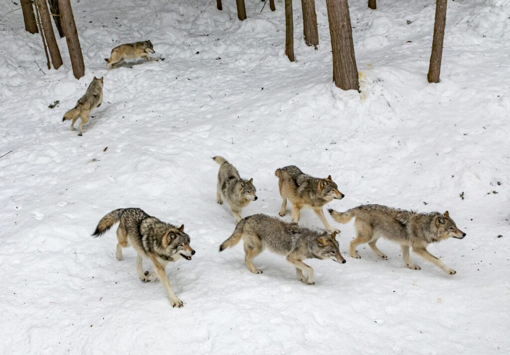
Few visitors expect the Badlands—this seemingly barren landscape—to contain one of North America’s richest fossil beds. Yet paleontologists routinely unearth ancient horses, saber-toothed predators, and prehistoric rhinoceros-like creatures called Metamynodon. What surprises scientists today is how climate reconstructions from these fossils reveal dramatic swings between warm, wet periods and cooler, drought-prone eras. These shifts occurred rapidly in geologic terms, sometimes within tens of thousands of years, offering crucial clues about how ecosystems respond to abrupt environmental change. New radiometric dating has also pushed back the age of some fossil layers, suggesting that parts of the Badlands may preserve a much longer evolutionary timeline than previously thought. Every discovery forces a re-evaluation of how mammals diversified after the extinction of the dinosaurs.
Water That Moves Stone
Despite their dry-season appearance, both the Black Hills and Badlands rely on complex, hidden water systems that shape the land in quiet but powerful ways. Groundwater trapped in fractured limestone carves sinkholes, feeds aquifers, and sometimes bursts to the surface as rare artesian springs. In the Badlands, short but intense summer storms unleash torrents that carve new gullies, changing the landscape so quickly that maps can become outdated within years. Hydrologists studying these systems say erosion rates in some Badlands formations are among the fastest in the continental United States. This relentless reshaping means that many rock spires visible today will be gone within decades, while entirely new formations will emerge. It’s a rare place where the deep past and the present actively coexist in the same frame.
Quick Facts:
- Average Badlands erosion rate: about 1 inch per year
- Estimated full erosion lifespan of some formations: 500,000 years
- Number of mapped caves in the Black Hills: over 400, including two of the world’s longest systems
Why It Matters
Understanding the Black Hills and Badlands offers more than geological trivia—it reveals critical insights into climate resilience, water scarcity, and biodiversity fluctuations. Compared with many protected landscapes, these regions represent an unusually complete record of Earth’s environmental experiments, stitched together through rock, fossil, and hydrologic archives. For climate scientists, these archives serve as a natural baseline to test models that forecast rapid changes happening globally today. Traditional ecological studies focused on short timelines often miss the long arcs of adaptation displayed here. By integrating geology, paleontology, Indigenous knowledge, and modern climate science, researchers gain a richer perspective on how ecosystems persist—and how they fail—under stress. In an era defined by environmental uncertainty, few regions offer such a powerful comparative lens.
A Global Perspective
Although uniquely American in identity, the Black Hills and Badlands mirror geologic processes found around the world, from China’s Danxia landforms to Spain’s eroded badlands in Aragón. Comparative studies show that similar uplift patterns and sedimentary layering appear on multiple continents, hinting at deep, planetary-scale geodynamic forces. These parallels help researchers understand universal patterns of landscape evolution and species migration. For example, fossil assemblages here closely track global mammal diversification after the Paleocene–Eocene Thermal Maximum, a period of intense planetary warming. By examining these cross-continental connections, scientists can test whether observed trends are region-specific or part of wider evolutionary waves. This global perspective elevates the Black Hills and Badlands from local treasures to internationally relevant scientific archives.
The Future Landscape
Looking ahead, researchers predict that climate change will accelerate erosion in the Badlands and alter forest composition in the Black Hills, potentially shifting species ranges by hundreds of miles. New satellite monitoring platforms are tracking moisture, vegetation stress, and erosion hotspots with unprecedented precision, offering early warnings for land managers. Advances in cave mapping may uncover previously unknown subterranean ecosystems, including microbes that thrive in mineral-rich environments and could influence biotechnology research. Yet these frontiers also come with challenges: increased wildfire risk, pressure from tourism, and water scarcity threaten to reshape the region faster than science can document it. The next decade may determine whether the Black Hills and Badlands remain resilient laboratories—or fragile archives at risk. But researchers say proactive conservation and smarter land-use planning could make the difference.
How You Can Help
Visitors and remote admirers alike can support the future of the Black Hills and Badlands. Simple actions—staying on designated trails, respecting tribal lands, and following fossil-collection rules—protect delicate formations and preserve scientific integrity. Donating to local research institutions or national park stewardship programs helps fund monitoring technologies and educational outreach. Engaging with Indigenous-led conservation initiatives strengthens the cultural and ecological narratives that define the region. And most importantly, spreading awareness about the scientific value of these landscapes encourages responsible tourism and long-term preservation. Even small steps contribute to ensuring that this remarkable natural archive continues to reveal new discoveries for generations.

Suhail Ahmed is a passionate digital professional and nature enthusiast with over 8 years of experience in content strategy, SEO, web development, and digital operations. Alongside his freelance journey, Suhail actively contributes to nature and wildlife platforms like Discover Wildlife, where he channels his curiosity for the planet into engaging, educational storytelling.
With a strong background in managing digital ecosystems — from ecommerce stores and WordPress websites to social media and automation — Suhail merges technical precision with creative insight. His content reflects a rare balance: SEO-friendly yet deeply human, data-informed yet emotionally resonant.
Driven by a love for discovery and storytelling, Suhail believes in using digital platforms to amplify causes that matter — especially those protecting Earth’s biodiversity and inspiring sustainable living. Whether he’s managing online projects or crafting wildlife content, his goal remains the same: to inform, inspire, and leave a positive digital footprint.