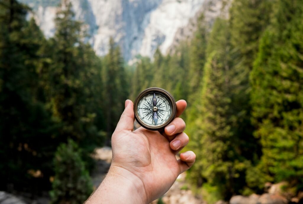
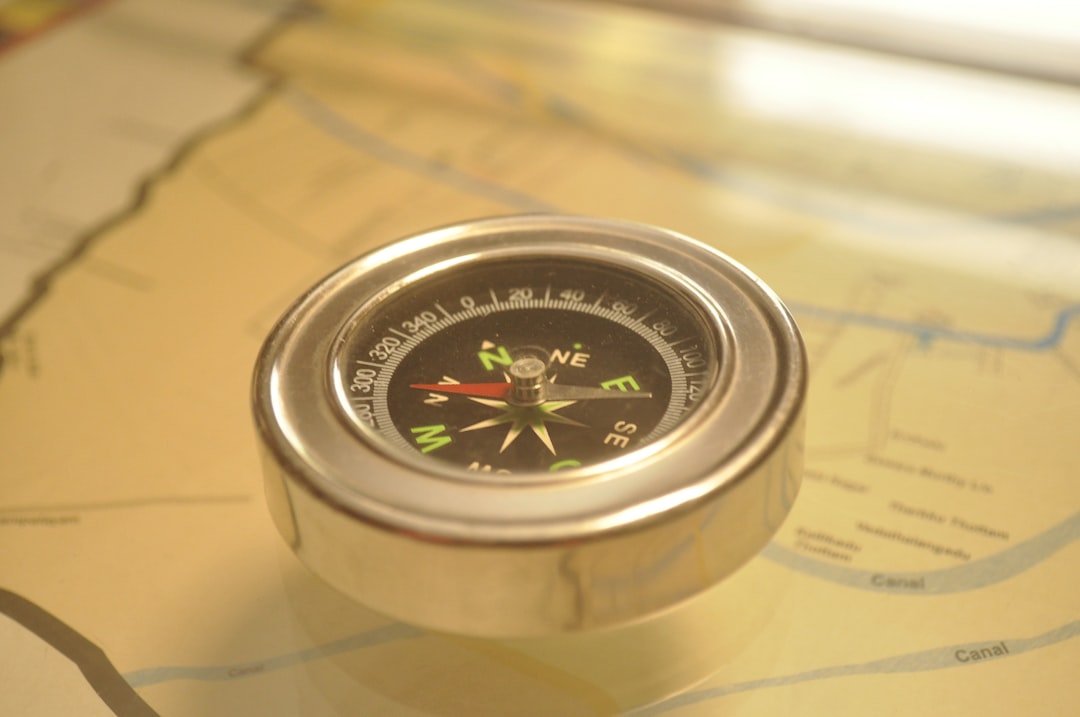
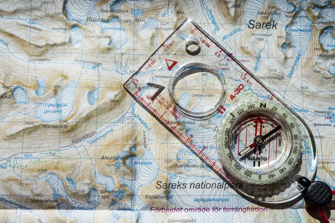
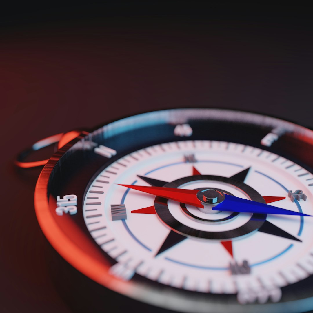
The map says north is straight ahead, but your compass insists it’s somewhere else entirely. That unsettling moment – needle wavering, confidence slipping – has spooked explorers for centuries and still puzzles hikers today. Across the world, pockets of rock act like clandestine magnets, tugging at the very instrument we trust to find our way. Scientists call these zones geomagnetic anomalies, and while the physics is elegant, the field experience can be downright disorienting. The mystery isn’t just romantic; it’s a practical challenge that modern geology, satellite missions, and savvy fieldcraft are finally learning to tame.
The Hidden Clues
Here’s the hook: a mountain can quietly overpower the planet’s magnetic whisper. In parts of Western Australia, near a hill long known as Mount Magnet, early surveyors watched their needles drift as if hypnotized by the ground beneath their boots. They weren’t imagining it; iron-rich rocks can carry a magnetic signature strong enough to nudge a compass by noticeable degrees. To a traveler on foot, a few degrees might send you down the wrong ridge at dusk. To a survey crew, it can scramble lines on a map and turn a tidy grid into spaghetti.
The clues are written in the minerals. Magnetite and hematite, forged in ancient seas and volcanoes, lock in a direction when they cool or are altered by fluids, a geological memory of past magnetic norths. Layer those memories into thick bands – like pages in a very old diary – and you get a crust that tugs the present-day needle off course. The trick is spotting where that diary lies open under your feet.
From Ancient Tools to Modern Science
The compass was a marvel long before smartphones learned the same trick. Mariners and miners noticed odd behavior early on, chalking it up to “bad iron” or local witchery. Today, we can measure the culprits in fine detail with airborne magnetometers and ground surveys, turning invisible fields into crisp, colorful maps. Those maps are less treasure-hunt and more medical imaging, revealing fractures, ore bodies, and volcanic histories hiding in plain sight. They also explain why some classic routes always felt just a little wrong.
Satellite constellations such as Europe’s Swarm mission now track Earth’s magnetic field from space, separating signals from the core, mantle, crust, and even space weather. That separation matters, because a hiker’s hiccuping needle and a satellite’s electronic jitters share the same magnetic stage but not the same actors. The result is a layered understanding: tiny rock-born blips for local navigation, broader undulations for aviation, and storm-driven surges for power grids and pipelines.
The Mountain Called Magnet
One of the most storied examples sits in Australia’s Mid West, where a prominent hill once threw nineteenth‑century surveyors into doubt. The place didn’t get its name by accident; iron-rich formations there famously bent compass readings, a quirk still noted by locals and visiting geologists. Stand on the ridge and the ground itself feels assertive, a quiet force insisting north is someplace else. It’s a geological parlor trick with very real consequences if you’re relying on a needle and a paper map.
What looks like a simple hill is, magnetically, anything but simple. Banded iron formations – ancient layers of iron oxide laid down like stripes – can carry strong, stable magnetization. When those layers tilt and fold, the combined effect becomes a lopsided magnet hidden in stone. Step a few meters and the needle relaxes; step back and it swings again.
How Rocks Hijack North
Two mechanisms do the heavy lifting: induced magnetization and remanent magnetization. Induced magnetization is the gentle persuasion of the present field on a rock that’s rich in magnetic minerals, like a spoon flirting with a magnet. Remanent magnetization is the tattoo – the rock’s permanent record of the magnetic field when it cooled or altered, which can point in a completely different direction than today’s north. Add them together and you can get a net field that pulls a compass sideways, sometimes dramatically.
Basalt flows make this visible in the wild. In Oregon’s Steens Mountain, lava recorded a rapid magnetic reversal in stunning detail, preserving swings in direction like frames of a time‑lapse film. While that reversal is ancient history, the rocks’ baked‑in magnetism is very much alive to your compass. In ore provinces, the effect can be even stronger, with magnetite‑rich bodies behaving like buried bar magnets that lure the needle away from truth.
Global Perspectives
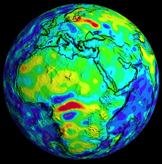
Zoom out and the world’s magnetic hot spots tell a bigger story. Russia’s Kursk region, home to immense iron deposits, has long been notorious for skewed compass bearings and spectacular magnetic survey maps. Central Africa hosts the vast Bangui anomaly, a crustal‑scale oddity that still spurs debate about whether it traces ancient impacts, igneous intrusions, or both. Canada’s shield rocks, Australia’s Hamersley Range, and parts of Scandinavia all serve up their own mineral‑born mirages to unwary needles.
Not all compass trouble comes from rocks. Near the magnetic poles, the field lines plunge steeply into Earth, leaving too little horizontal pull for a needle to settle. Space weather can also jostle magnetic readings, especially at high latitudes during storms. But when hikers grumble about compasses “lying,” it’s usually the crust – quiet, dense, and iron‑rich – doing the mischief underfoot.
Why It Matters
Navigation still counts on magnetism more than most of us realize. Pilots talk in magnetic headings, airports periodically rename runways as declination drifts, and surveyors reconcile field notes with magnetic models to keep maps honest. In mineral exploration, magnetic highs and lows can be the first breadcrumbs that lead to an ore discovery. For rescue teams guiding drones through rugged terrain or crews steering drill bits deep underground, a bad magnetic assumption can become an expensive wrong turn.
There’s also biology and tech at stake. Research on animal navigation probes how birds, fish, and even insects sense magnetic cues, and anomalies become natural test ranges for those hypotheses. Meanwhile, our phones’ tiny magnetometers can be fooled by nearby rocks, trucks, or even the metal in a trail bridge, which is why that figure‑eight calibration ritual keeps popping up. In short, understanding anomalies isn’t trivia – it’s the guardrail that keeps centuries of magnetic know‑how useful in a changing world.
The Future Landscape
The next leap comes from pairing better measurements with smarter models. Quantum and optically pumped magnetometers are pushing sensitivity in the field, while drones fly dense grids over cliffs and scree that once defeated ground crews. From orbit, satellite missions refine global field maps and help peel crustal signals away from core dynamics and solar noise. Feed it all into machine‑learning inversions, and geologists can turn raw wiggles into 3D pictures of ore bodies and buried faults.
There’s a citizen angle, too. Crowd‑sourced magnetometer data from smartphones, combined with official models, can flag local disturbances and help update magnetic declination faster in places where it changes quickly. Expect aviation, energy, and mining to fold these updates into routine operations, from re‑labeling runway numbers to scheduling pipeline inspections before geomagnetic storms. The big idea is simple: fewer surprises for compasses, fewer costly surprises for people.
What You Can Do
If you’re heading into iron country, plan for a fussy needle. Carry a second navigation method – map skills, GPS with offline maps, and a watch‑and‑sun check can cross‑validate in seconds. Calibrate your phone’s compass away from vehicles, tools, or the cliff you’re about to climb, then step a few paces if the reading looks jumpy. If the terrain is iron‑rich or freshly volcanic, assume the compass can mislead and lean on landmarks and bearings verified at multiple spots.
For the curious, explore open magnetic maps and local declination values before you go, and learn how to spot magnetite in the field – it often looks like a dark, dense rock that will tug a small hand magnet. Support public science that makes all this possible, from satellite missions to national magnetic models. And if you collect good data, share it: community measurements help keep the world’s sense of direction honest. It’s your needle, your route, and your call – would you trust it without a second opinion?
Sources: NOAA National Centers for Environmental Information (World Magnetic Model; CrowdMag app); European Space Agency, Swarm mission overview.

Suhail Ahmed is a passionate digital professional and nature enthusiast with over 8 years of experience in content strategy, SEO, web development, and digital operations. Alongside his freelance journey, Suhail actively contributes to nature and wildlife platforms like Discover Wildlife, where he channels his curiosity for the planet into engaging, educational storytelling.
With a strong background in managing digital ecosystems — from ecommerce stores and WordPress websites to social media and automation — Suhail merges technical precision with creative insight. His content reflects a rare balance: SEO-friendly yet deeply human, data-informed yet emotionally resonant.
Driven by a love for discovery and storytelling, Suhail believes in using digital platforms to amplify causes that matter — especially those protecting Earth’s biodiversity and inspiring sustainable living. Whether he’s managing online projects or crafting wildlife content, his goal remains the same: to inform, inspire, and leave a positive digital footprint.