Across deserts, forests, and farm fields, archaeologists are quietly rewriting the map of ancient urban life. The mystery is simple and maddening: we know many capitals once thrived, but their streets now lie smothered by silt, roots, and modern towns. New tools – especially airborne laser scanning – keep exposing geometric scars on the landscape that look like avenues, reservoirs, and walls, hinting at buried cities hiding in plain sight. The stakes are high: each discovery recalibrates our sense of how early societies organized power, engineered water, and traded across continents. If we can pinpoint where the lost cities are buried, we can finally tell the stories that stones have guarded for millennia.
The Hidden Clues: Thinis, Egypt’s Vanished First Capital

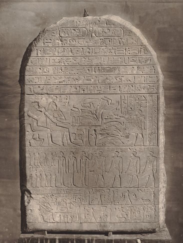
Thinis is the ghost at the edge of Egypt’s origin story, a capital mentioned in king lists but never pinned to a map with certainty. Most Egyptologists suspect it once stood near Abydos, cloaked today by shifting desert margins and modern settlements that mask low mudbrick mounds. Subtle soil color changes, scatterings of early dynastic pottery, and geometric anomalies in satellite images whisper that a city-size footprint may still be there, just out of sight. In a place where the Nile has meandered, flood silts can entomb buildings in orderly layers, like pages glued shut.
Researchers combine old-school surface surveys with magnetometry to chase the pattern, looking for rectilinear signatures that betray walls and courtyards. A discovery here would clarify how Egypt’s earliest rulers stitched together power before pyramids dominated the skyline. It would also anchor a timeline that currently leans on texts more than ruins, which is always risky. The idea that a founding capital could hide beneath sand and suburbs feels shocking – until you remember that the desert is an expert archivist.
From Ancient Tools to Modern Science: Hunting Itj‑Tawy in the Faiyum
When Egypt’s Twelfth Dynasty moved the capital to Itj‑Tawy, they also rewired the landscape with canals, embankments, and planned neighborhoods. Most scholars place it near Lisht and the Faiyum entrance, where pyramid fields loom and agricultural plots quietly overlay older streets. Ground‑penetrating radar and magnetometry have highlighted buried enclosures and gridded patterns that look uncannily urban, but definitive exposure is limited by water tables and farmland. In floodplain settings, cities sink beneath centuries of renewal, each harvest adding a thin curtain of silt.
The scientific playbook here leans on noninvasive mapping first, surgical excavation second. A more complete plan of Itj‑Tawy would illuminate Middle Kingdom statecraft – bureaucracy, labor housing, even policing of the canal system. It could also show how resilient design softened Nile volatility, a lesson with modern echoes. Sometimes the most forward‑looking science is the patience to not rush a digger in.
Why It Matters: Akkad, the Missing Heart of the First Empire
The capital of the Akkadian Empire – Akkad or Agade – should be a household name, yet its location remains maddeningly elusive. Texts describe an imperial powerhouse in Mesopotamia, but the city’s bones are likely buried under river‑laid silts and later settlements across central Iraq. Remote sensing hints at buried tells and canal spines that could fit an imperial footprint, but politics, access, and deep alluvium complicate verification. Finding Akkad isn’t trivia; it would calibrate how the world’s first territorial empire actually functioned on the ground.
Compared with traditional excavation that follows visible walls, the Akkad hunt leans on coring transects and regional geophysics to sniff out buried city mass across a wide plain. The payoff would reshape debates about early administration, writing, and logistics when empires were brand new. It would also demonstrate how the biggest holes in our histories sometimes sit right beneath the safest assumptions. If the cradle of empire still hides its star, imagine what else the ground is keeping quiet.
Global Perspectives: Tarhuntassa on Turkey’s Konya Plain

Hittite rulers uprooted their capital to Tarhuntassa during a political pivot, and then history promptly lost the address. Scholars argue over coordinates across the Konya Plain, where low mounds and irrigation grids conceal the kind of palatial complexes royal decrees imply. Geomagnetic surveys at candidate sites have revealed large rectilinear blocks, road‑like bands, and gate signatures that would suit an administrative core. The plain’s deep soils and millennia of farming are both the problem and the preservation plan, sealing architecture beneath gentle ploughing.
Proving Tarhuntassa would sharpen a turbulent chapter of Late Bronze Age geopolitics. It would also spotlight how capitals could be intentionally relocated as instruments of statecraft, not just symbols. Modern science’s regional lens – stitching dozens of mounds into a single urban network – mirrors how these states likely saw themselves. Sometimes, to find one city, you have to map a whole country.
The Hidden Clues: Zippalanda beneath Central Anatolian Mounds

Zippalanda, a major Hittite cult center tied to mountain worship, is another city hiding in plain sight. Ceremonial texts are vivid, but the stones remain anonymous under sprawling tells that dot the plateau. Magnetometry and drone photogrammetry increasingly sketch buried courtyards, processional ways, and temple footprints at several candidates, any of which could overlay Zippalanda’s sacred core. The puzzle is that ritual landscapes often spread across multiple nodes, not a single neat city block.
Identifying Zippalanda would reveal how religion and infrastructure braided together in Anatolia – where storage, feasting, and pilgrimage needed sophisticated logistics. It would also check our assumptions about “temple towns” by mapping kitchens, workshops, and housing that fed the rites. In other words, belief leaves an economic footprint we can trace. Follow the grain silos and you may finally meet the god.
From Ancient Tools to Modern Science: Hecatompylos under Iran’s Dust

Hecatompylos, the Parthian capital famed for “a hundred gates,” is broadly associated with the ruins of Shahr‑e Qumis, yet vast sectors remain buried under windblown sediments. Surface ceramics and scattered walls already mark a large city, but recent surveys suggest a footprint sprawling well beyond visible ruins. Resistivity and magnetometry have picked up orthogonal street grids, courtyard houses, and industrial blocks that trend under dunes and fields. The buried picture looks more like a metropolitan region than a lonely citadel.
Unlocking those sectors could fill a chronic blind spot between Hellenistic and Sasanian imperial urbanism. It would also clarify how long‑distance trade along eastern routes pulsed through warehouses and caravan hubs, not just royal halls. The desert’s camouflage, in this case, is a blessing; adobe and brick survive best when wind wraps them in a dry coat. Where travelers see emptiness, instruments see neighborhoods.
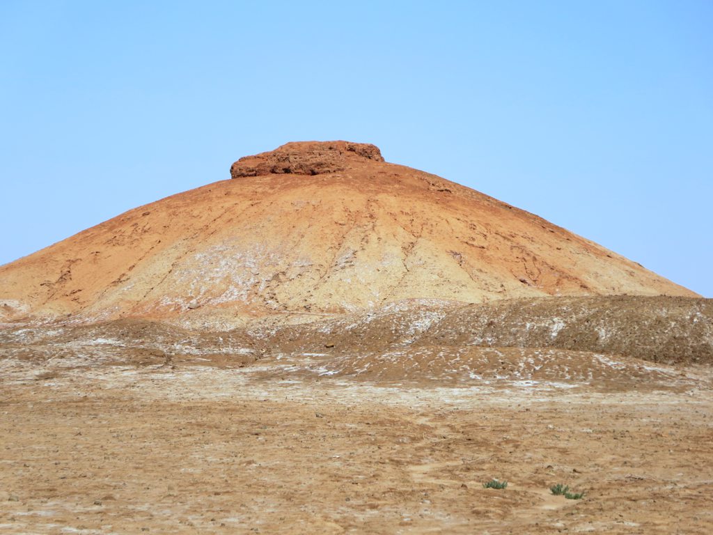
The Hidden Clues: Gerrha under the Sands of Eastern Arabia

Classical authors sketched Gerrha as a wealthy Arabian Gulf emporium built of imported stone and drenched in incense trade, but its precise footprint has slipped through time. Along the coastal interiors of modern eastern Arabia, low rises, ancient well fields, and linear berms hint at a larger urban system now submerged by dunes and development. Geophysical sweeps around paleolagoons have detected subsurface anomalies aligned like streets and compounds, the urban grammar you expect from a trade entrepôt. Salt flats and shifting sands combine to both erase and entomb, a frustrating duet.
Confirming Gerrha would rewrite Gulf urban chronology by centuries and plug trade networks more firmly into the Indian Ocean world. It could also anchor early hydraulic engineering in an arid zone where water control spelled survival. The practical barrier is access across industrial corridors and sensitive sites, which makes noninvasive methods the first and best option. Sometimes the most valuable artifact is a dataset.
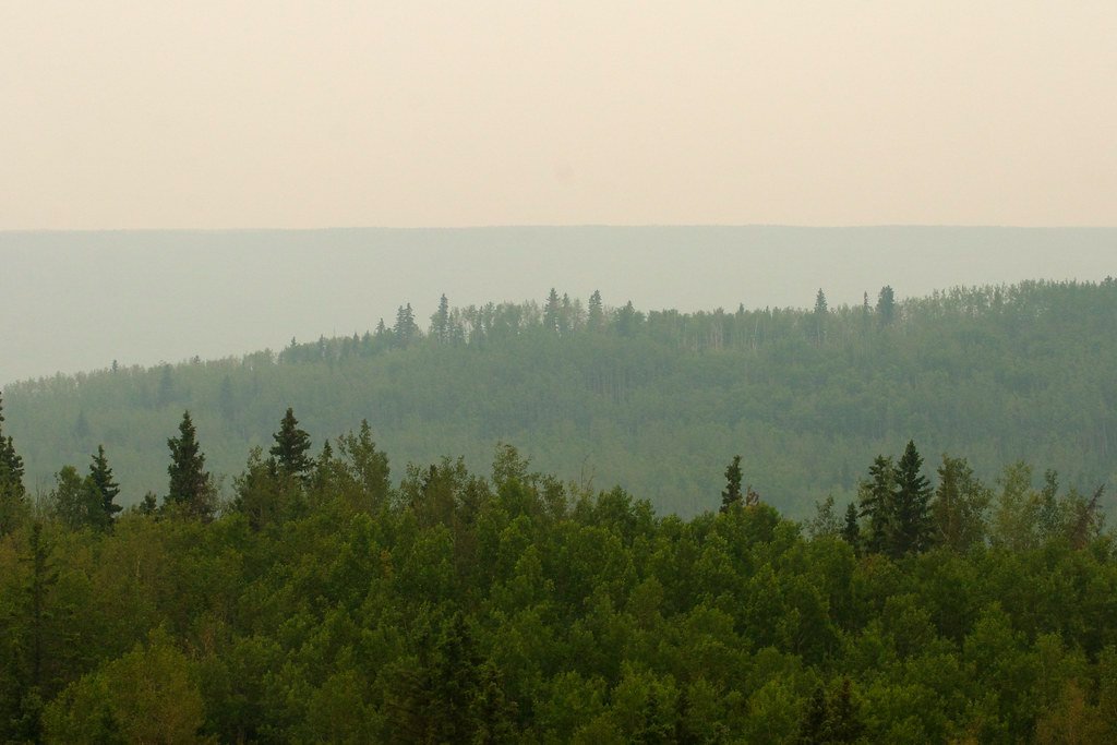
Global Perspectives: Forest‑Island Cities of Bolivia’s Llanos de Mojos

In Bolivia’s seasonally flooded lowlands, aerial laser scans have revealed monumental platforms, causeways, and reservoirs tied to the Casarabe culture, with vast sectors still untested on the ground. These are not solitary pyramids but regional urban webs where “forest islands” host plazas and platform mounds linked by straight roads. The scans strongly suggest that more major centers remain buried beneath canopy and soil veneers, especially where wetlands deter casual exploration. What looks like wilderness from the air resolves into geometry when you strip away leaves with laser light.
Finding additional cities here would expand the global definition of urbanism to include low‑density, engineered landscapes tuned to water. It would also puncture old myths about Amazonia as a place without complex cities before Europeans. Each new mapped platform shifts the story from isolated wonders to networks with planning, storage, and ceremony. The forest, it turns out, is a careful editor – not a destroyer.
The Future Landscape: Mahendraparvata in Cambodia’s Kulen Highlands

On Phnom Kulen, lidar first revealed Mahendraparvata’s gridded roadways, temples, and embankments beneath dense jungle, yet large tracts are still just outlines under soil. The Angkor‑era urban network climbs the plateau like a terraced circuit board, with waterworks and shrines stitched into orthogonal plans. Continued scanning and precision excavation now aim to ground‑truth neighborhoods, kilns, and quarries that remain invisible to the naked eye. In the humid tropics, stone survives but everyday life – wood, thatch, markets – leaves fainter fingerprints.
The next wave will likely combine machine‑learning pattern detection with targeted digs to move from map to meaning. That matters because Greater Angkor’s rise and reorganization echo modern questions about infrastructure, climate stress, and migration. Unlocking the plateau’s buried blocks could show how resilience was designed centuries before the word existed. Technology opens the canopy, but interpretation makes it breathe.
Conclusion: Mosquitia’s Undocumented Cities in Honduras

In Honduras’s Mosquitia, remote valleys shield rectilinear mounds, plazas, and engineered terraces that point to still‑unmapped urban centers. Thick vegetation and conservation concerns limit excavation, but airborne mapping keeps sketching precincts that look decisively planned. The challenge is protecting sites from looting while building community support for careful research, not treasure hunts. This region is a reminder that discovery and stewardship must move in lockstep.
Readers can help by backing organizations that fund training for local archaeologists and by supporting policies that prioritize noninvasive surveys in fragile forests. Public attention should favor long‑term research permits and site protection over splashy “lost city” headlines that ignore residents on the ground. When communities benefit, science gets time to be careful and complete. The story waiting under the canopy deserves that patience.

Suhail Ahmed is a passionate digital professional and nature enthusiast with over 8 years of experience in content strategy, SEO, web development, and digital operations. Alongside his freelance journey, Suhail actively contributes to nature and wildlife platforms like Discover Wildlife, where he channels his curiosity for the planet into engaging, educational storytelling.
With a strong background in managing digital ecosystems — from ecommerce stores and WordPress websites to social media and automation — Suhail merges technical precision with creative insight. His content reflects a rare balance: SEO-friendly yet deeply human, data-informed yet emotionally resonant.
Driven by a love for discovery and storytelling, Suhail believes in using digital platforms to amplify causes that matter — especially those protecting Earth’s biodiversity and inspiring sustainable living. Whether he’s managing online projects or crafting wildlife content, his goal remains the same: to inform, inspire, and leave a positive digital footprint.